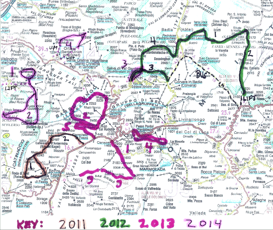
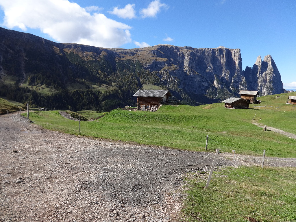
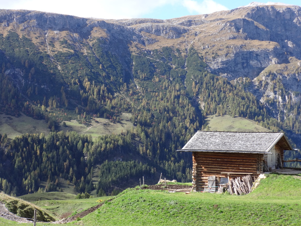
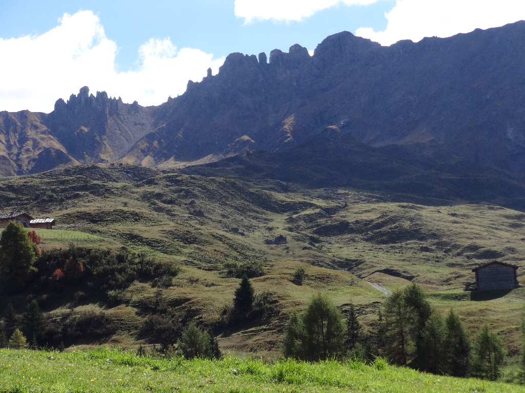
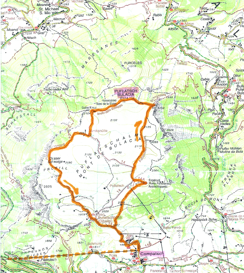
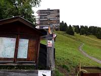
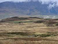
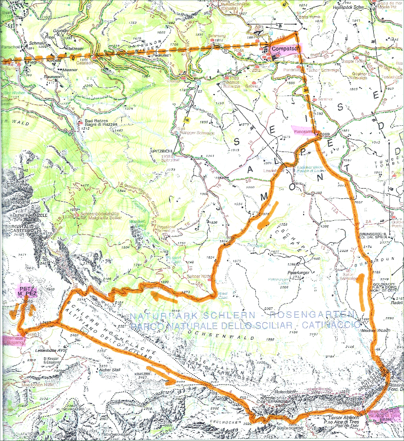
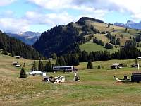
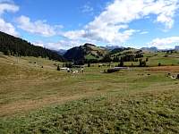
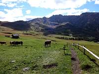
October 1 – Hike from Compatsch around Bulacia Plateau.
|
 |
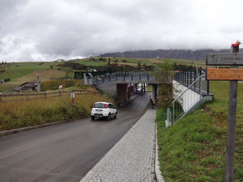
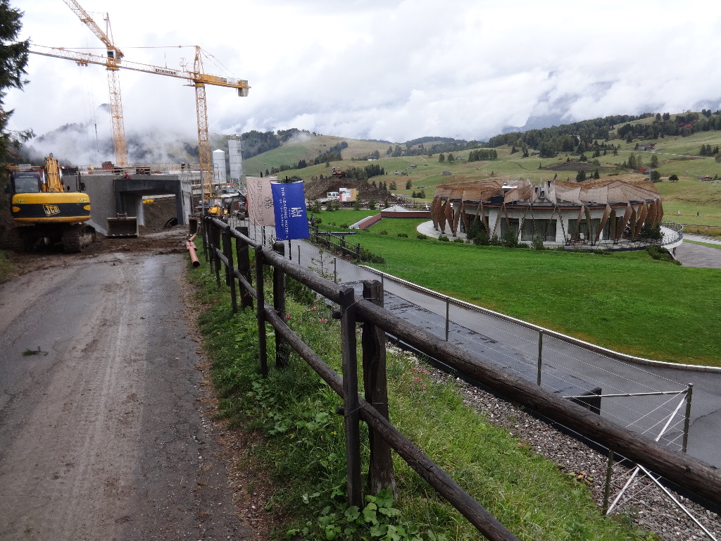
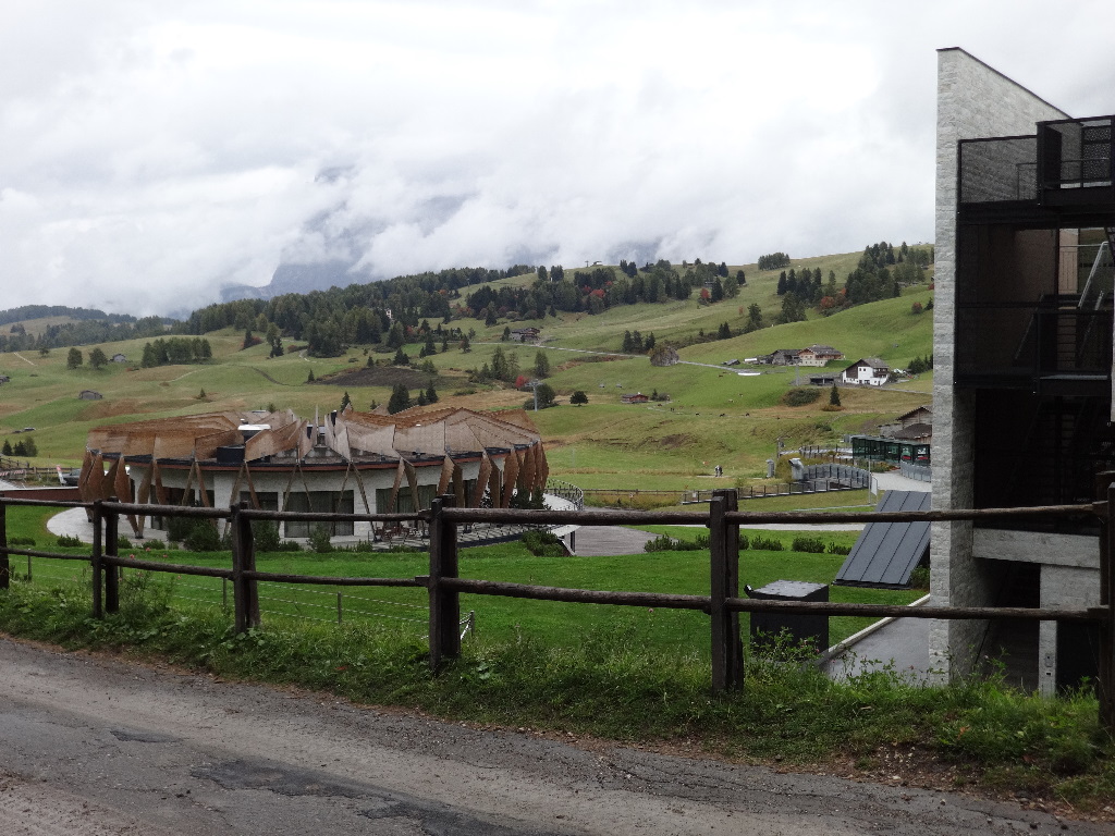
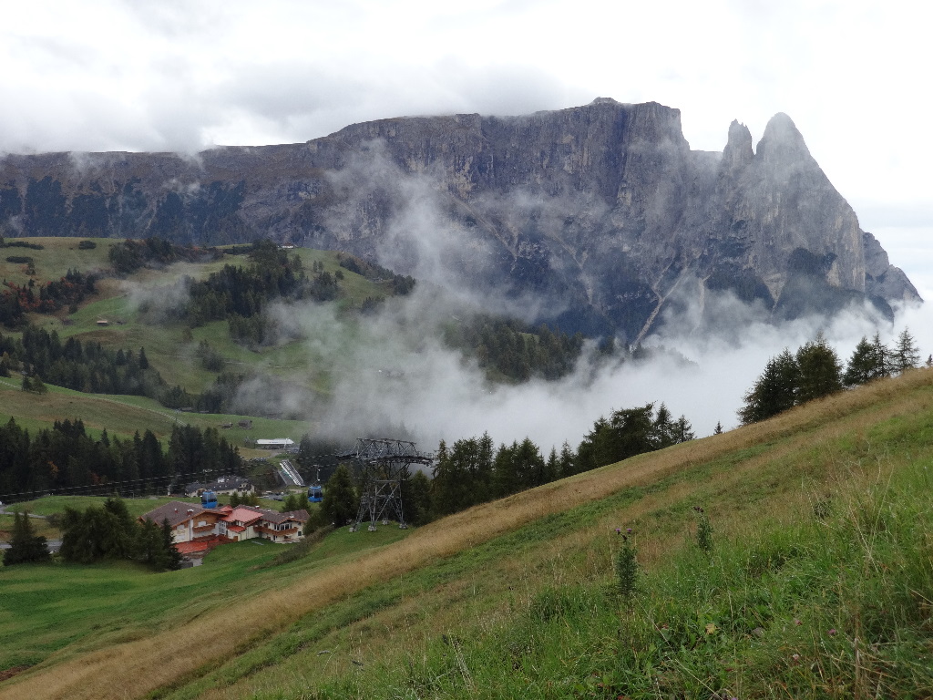
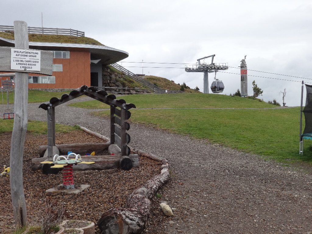
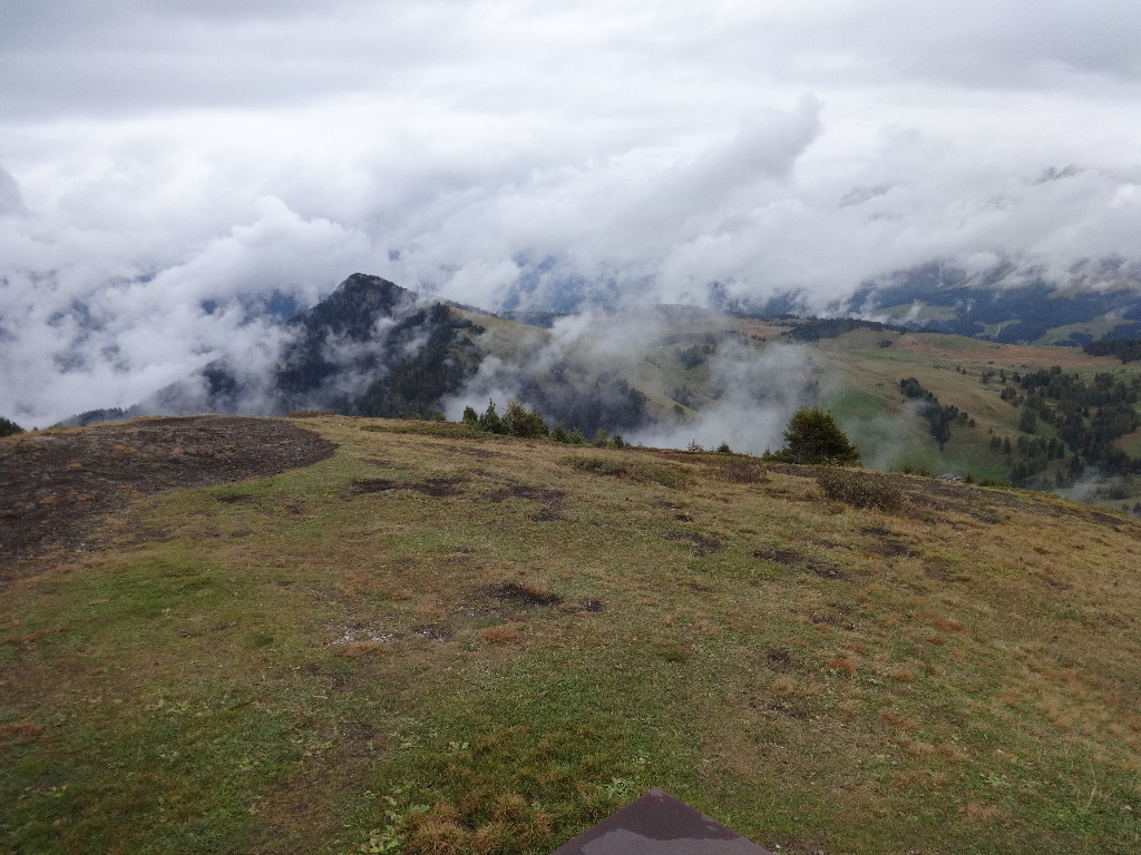
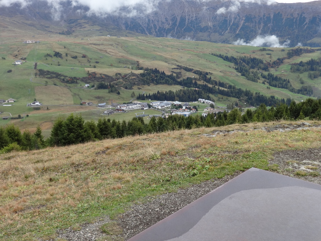
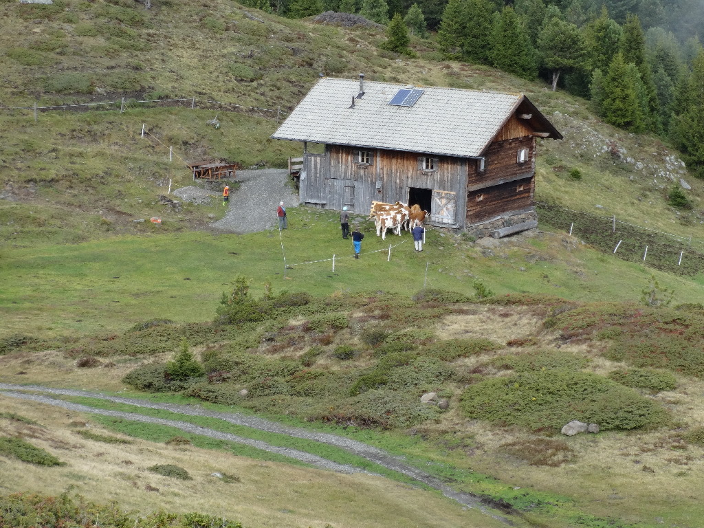
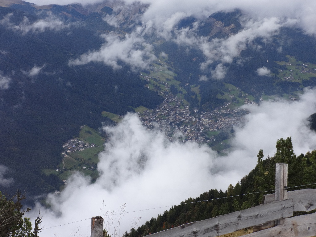
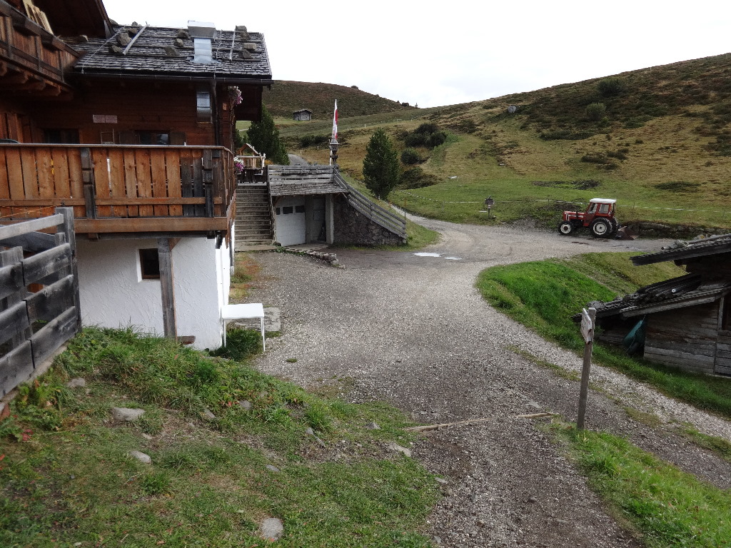
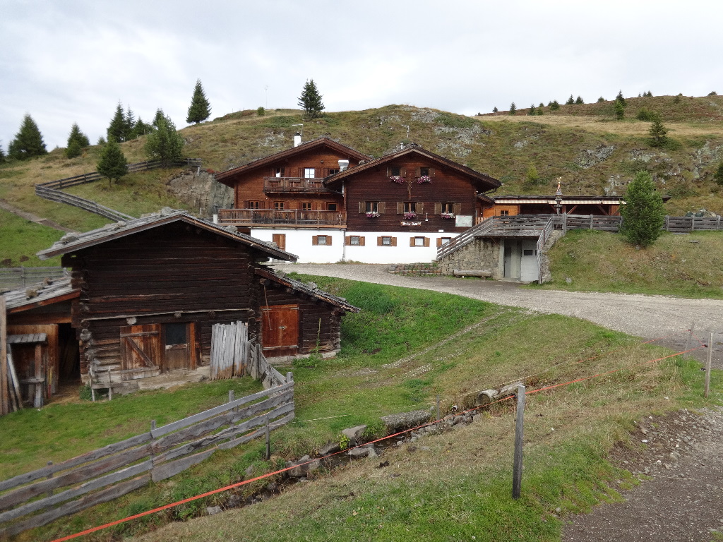
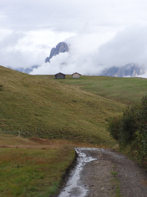
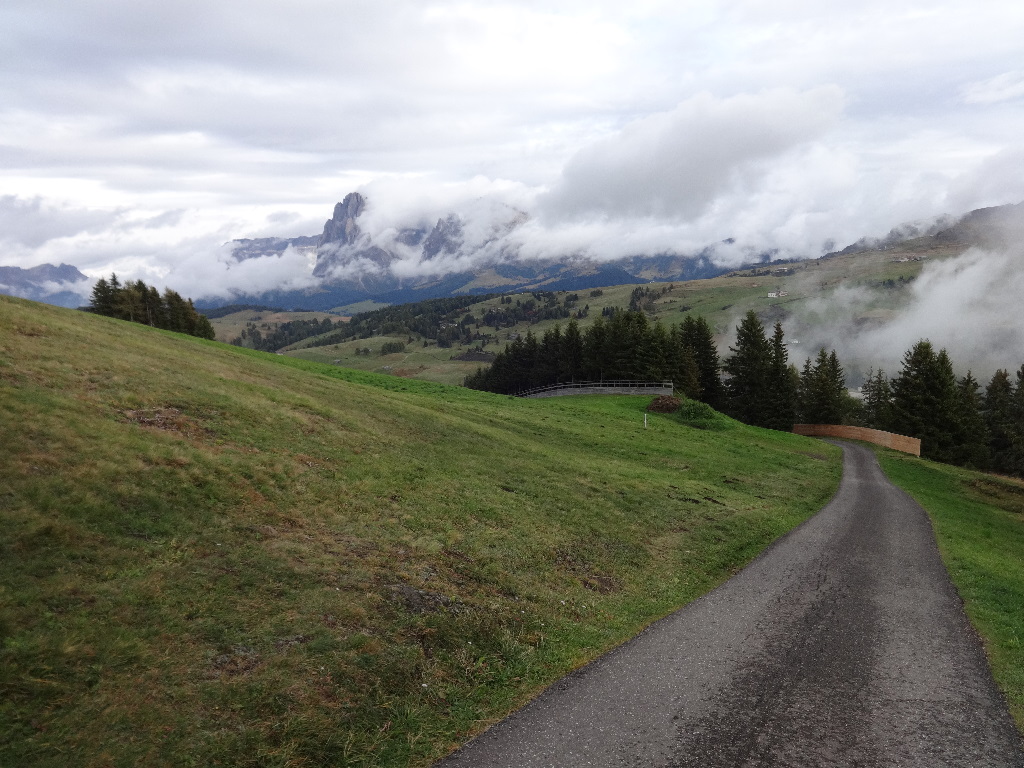
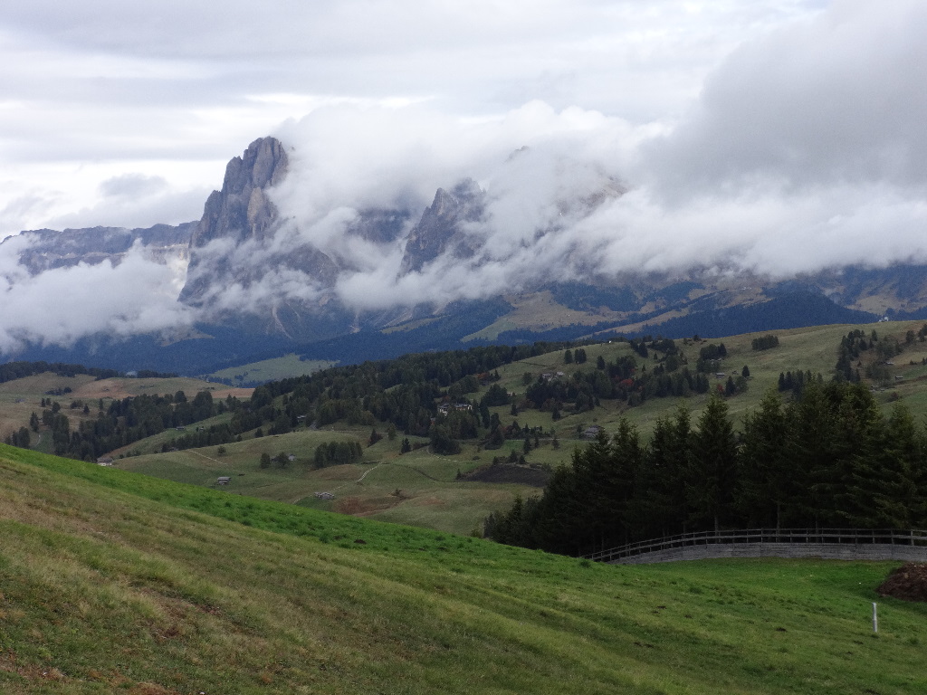
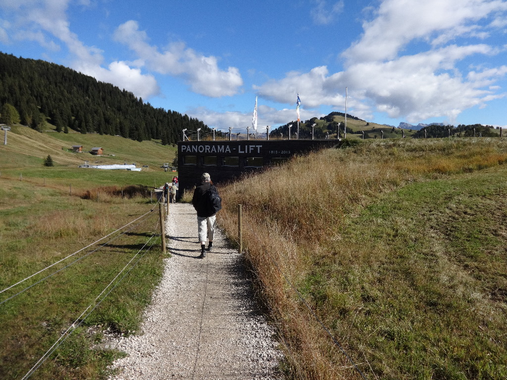
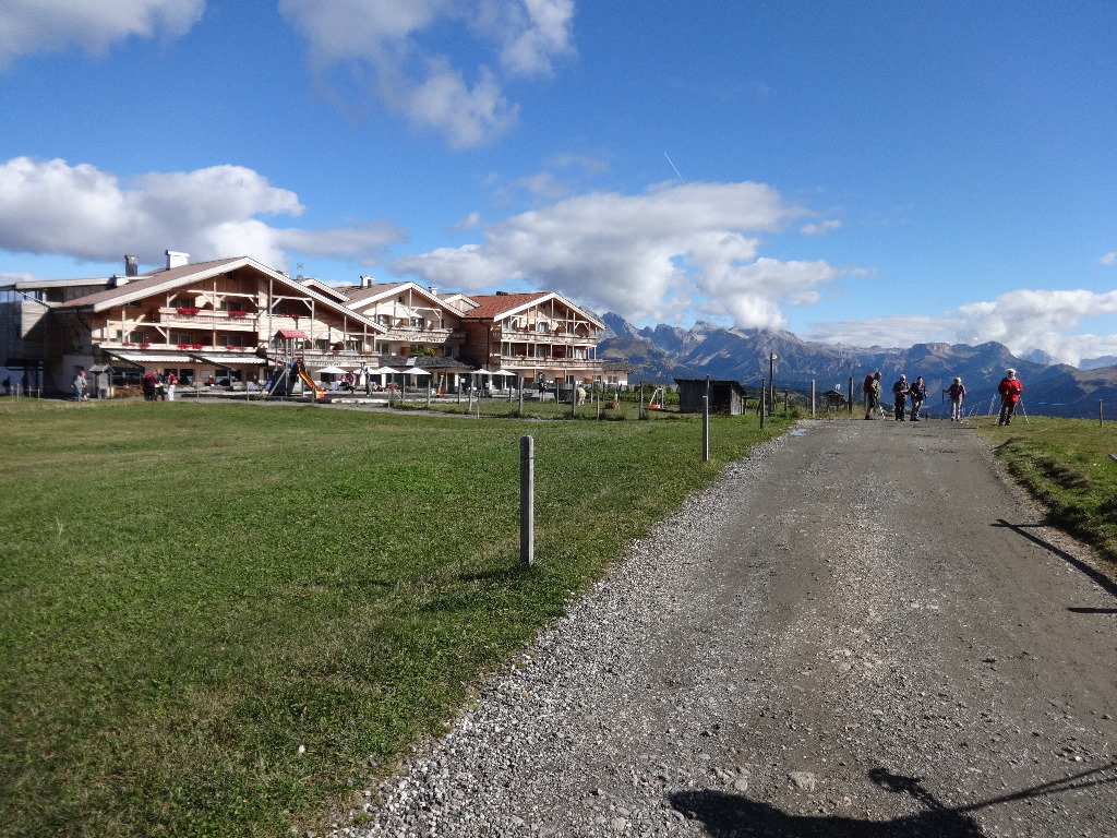
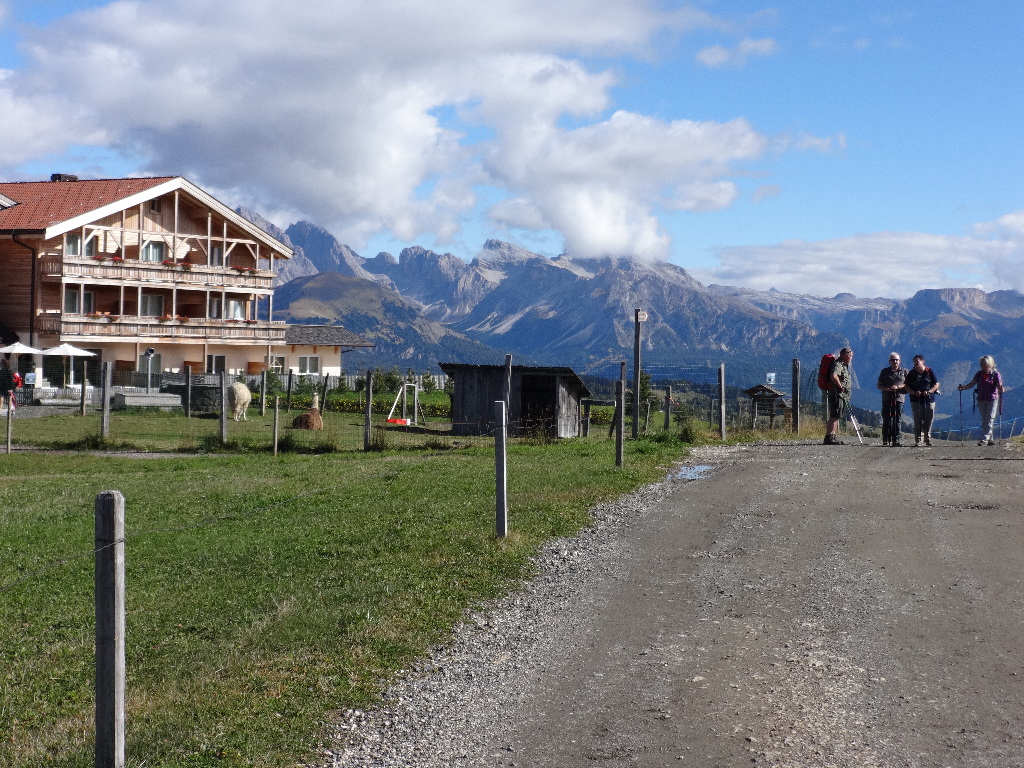
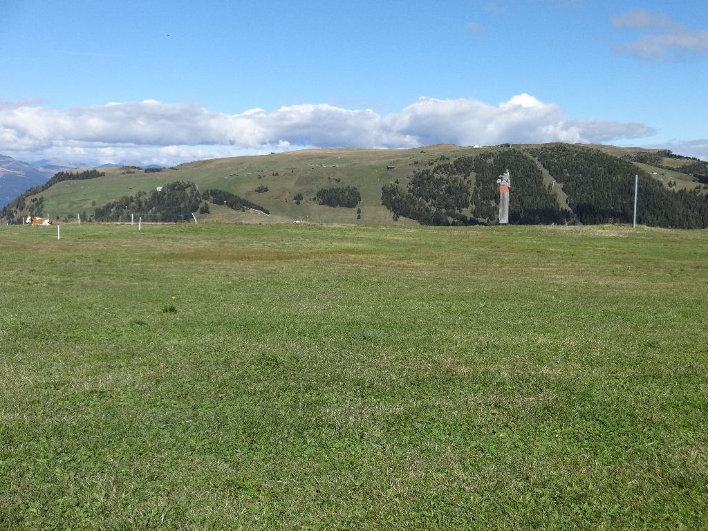
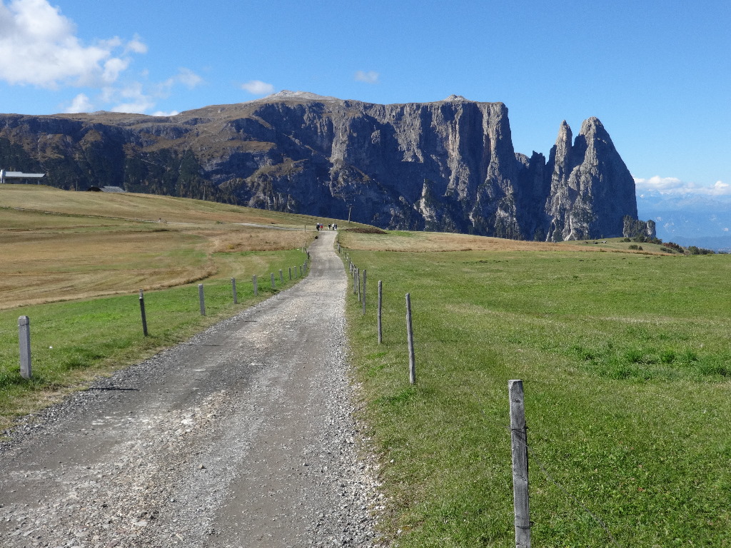
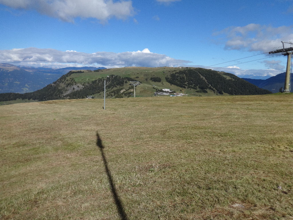
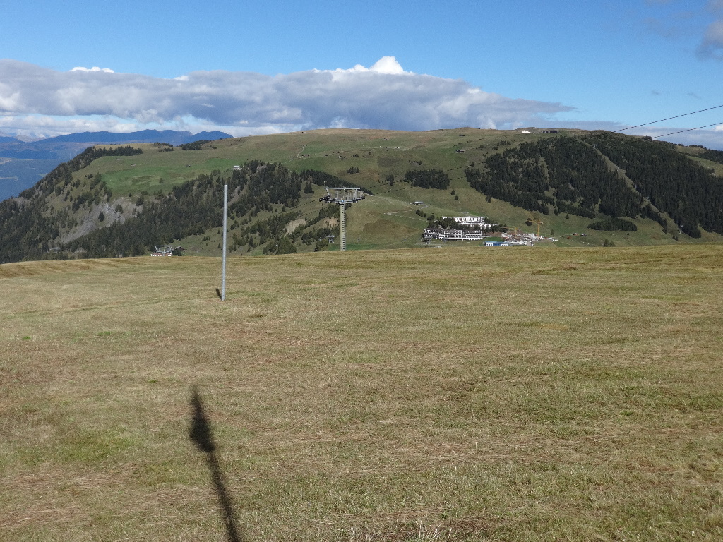
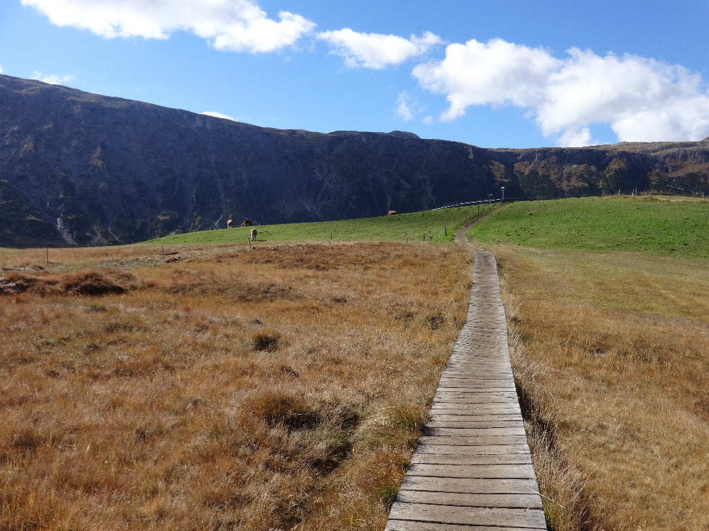
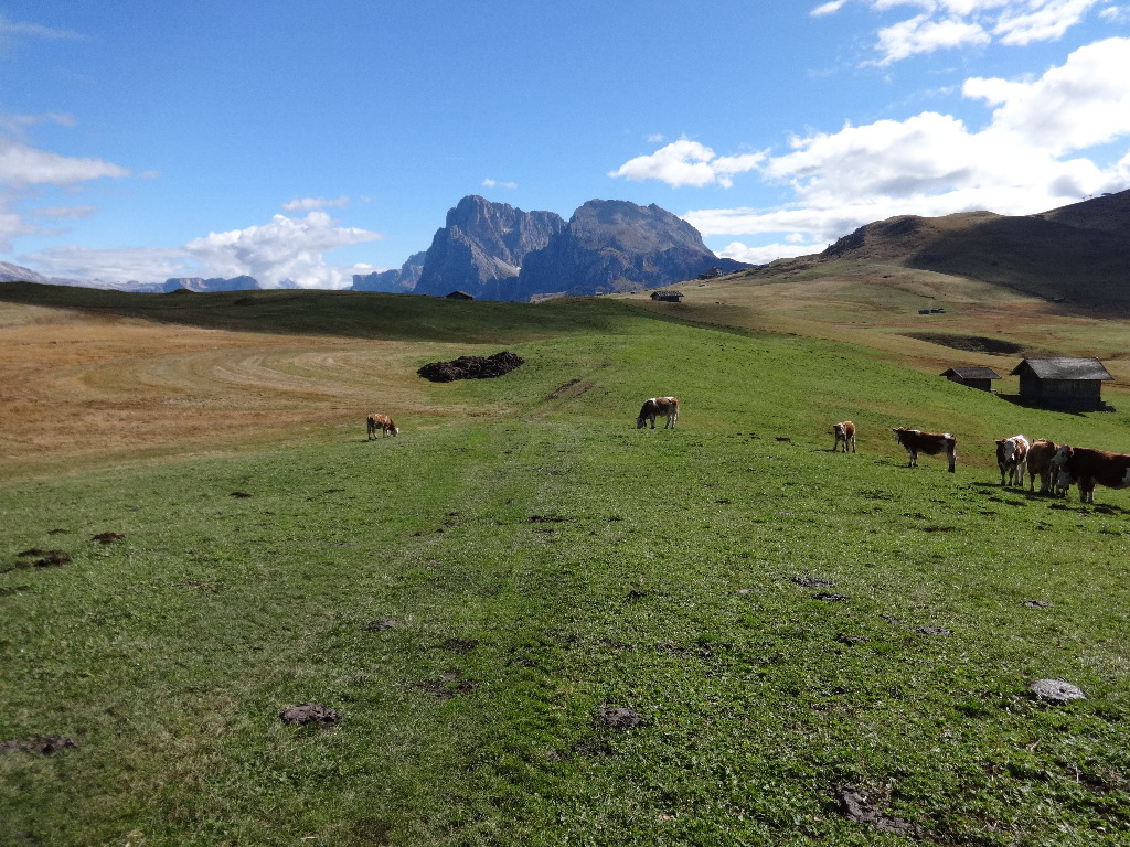
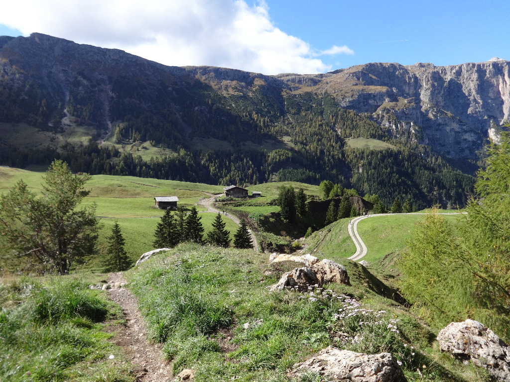
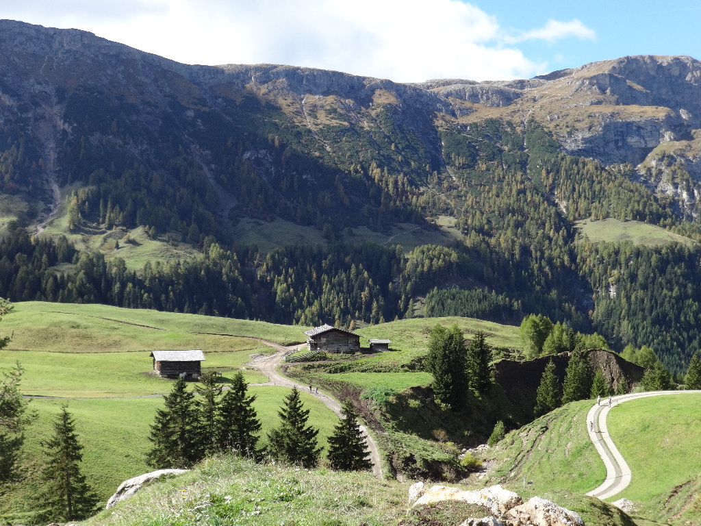
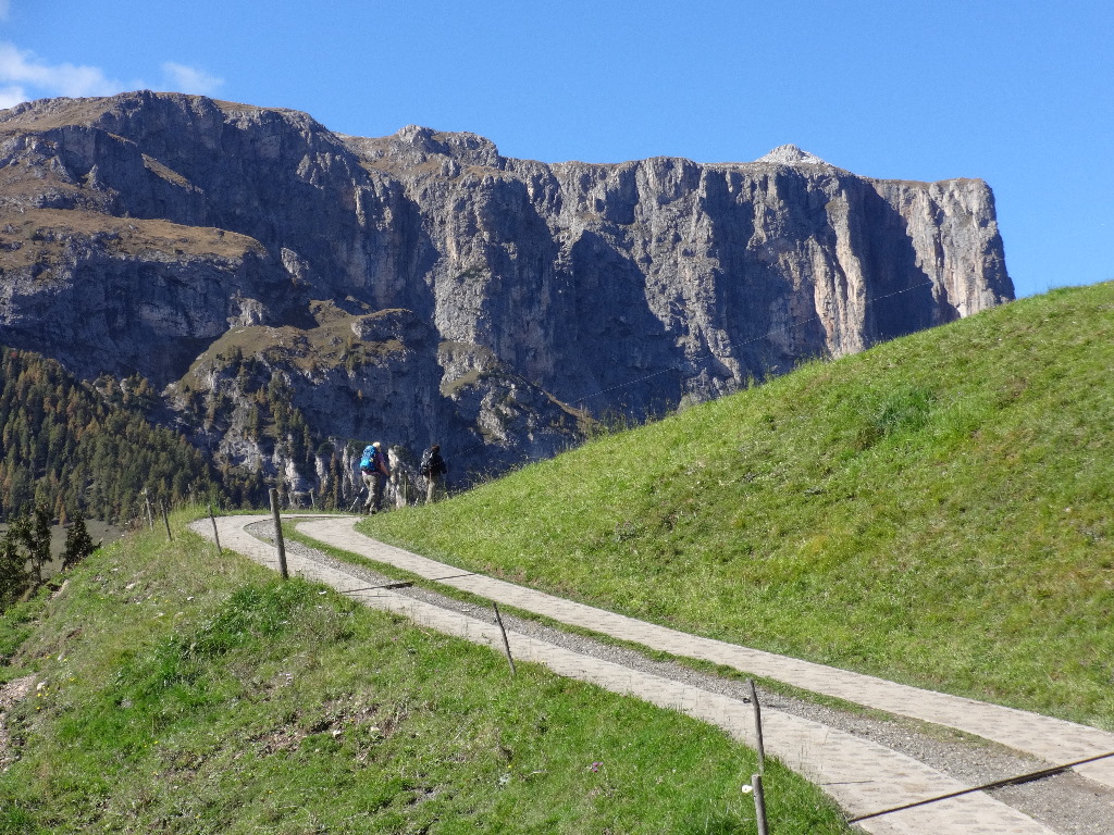
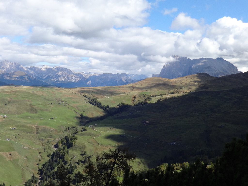
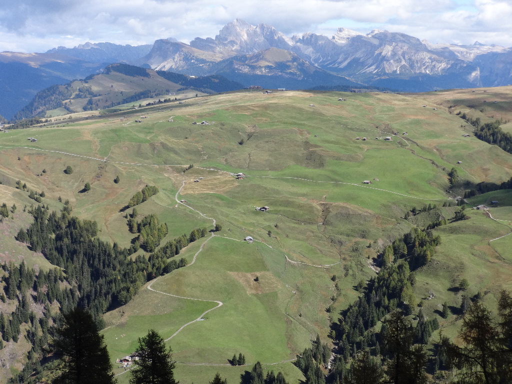
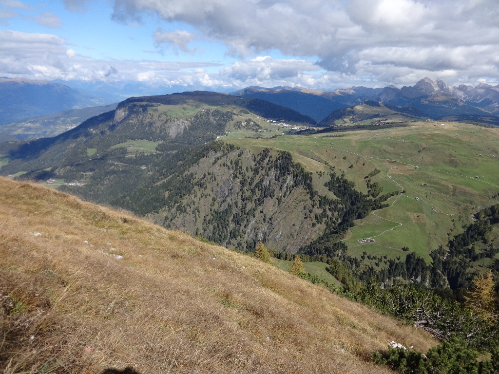
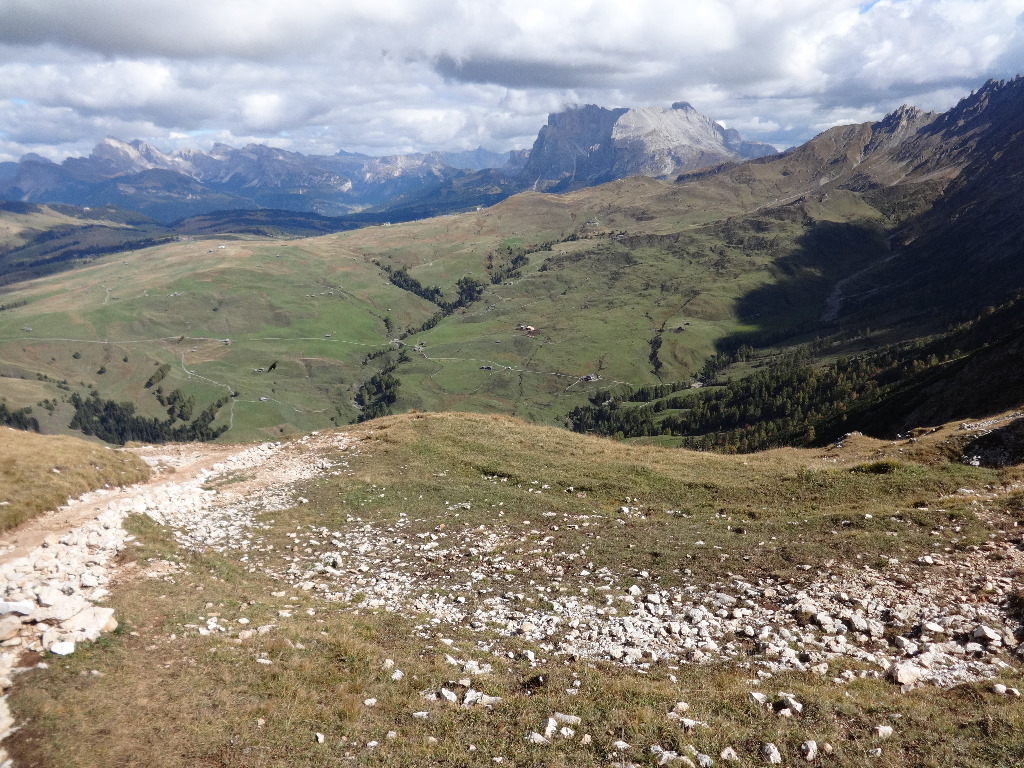
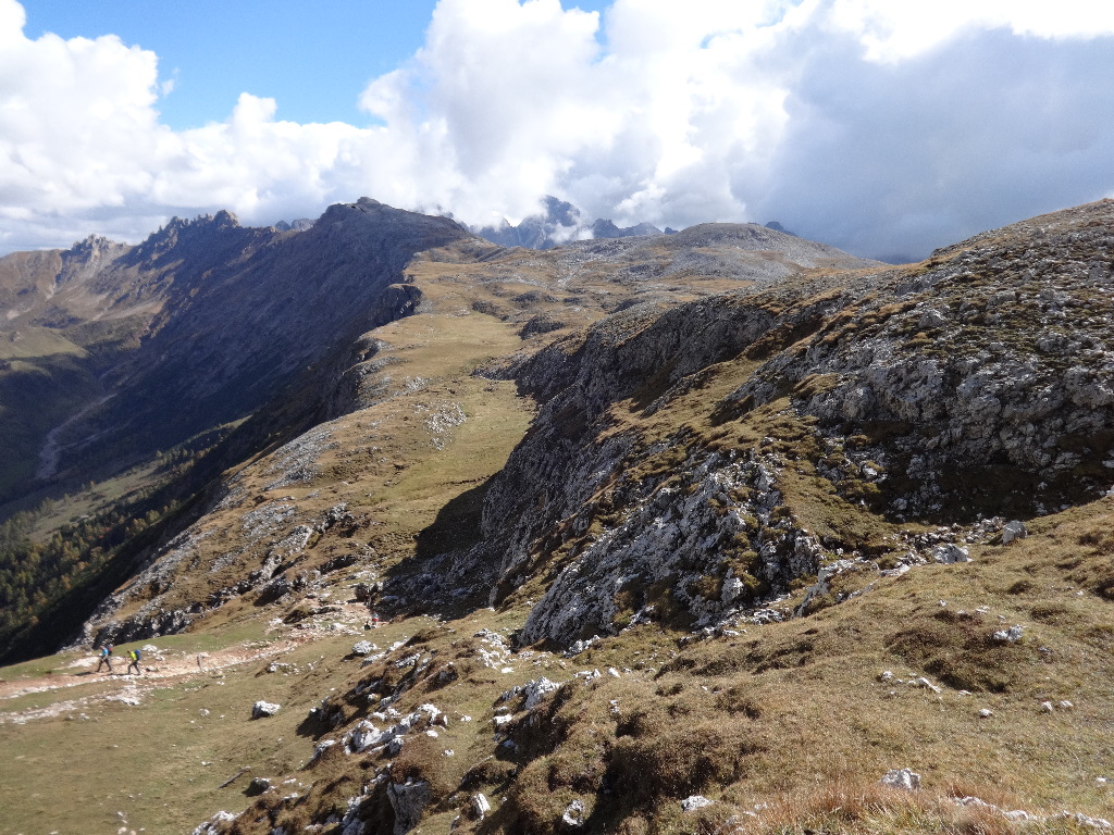
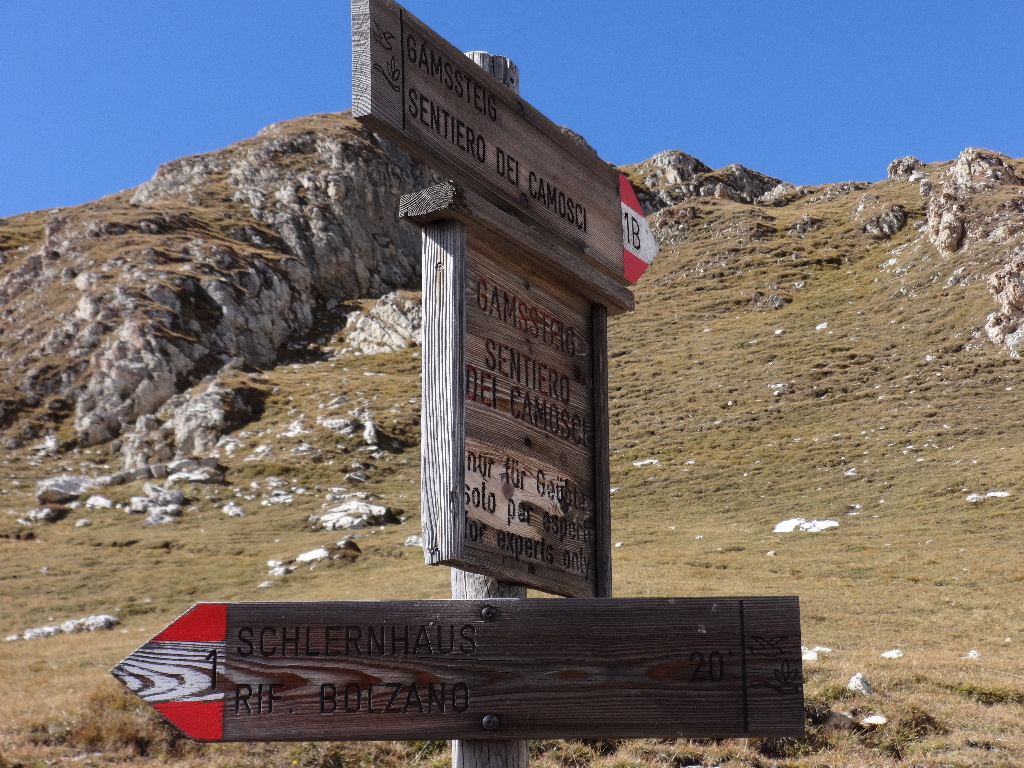
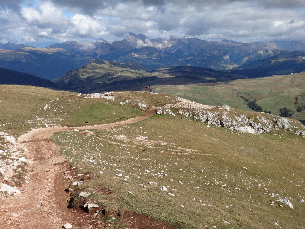
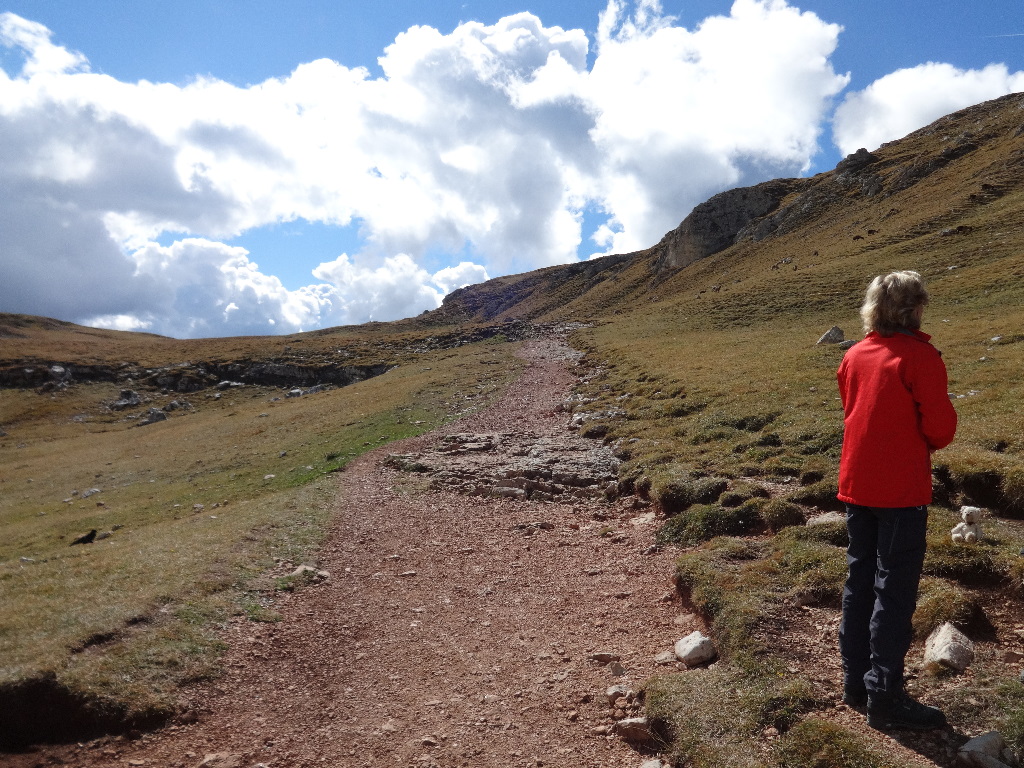
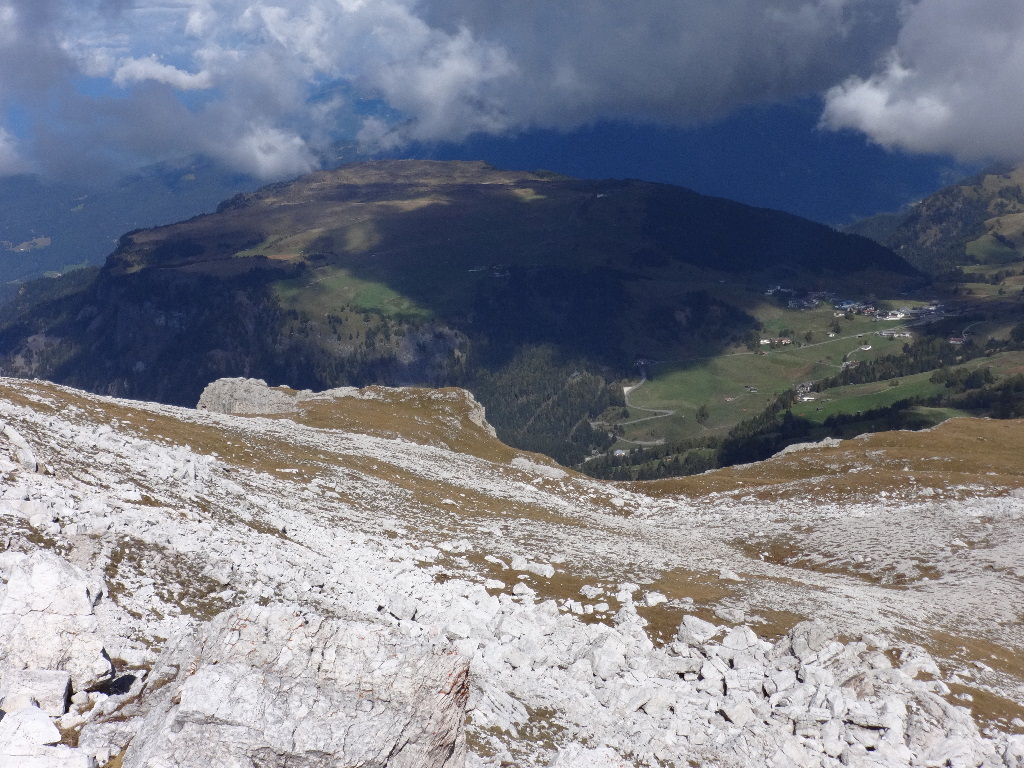
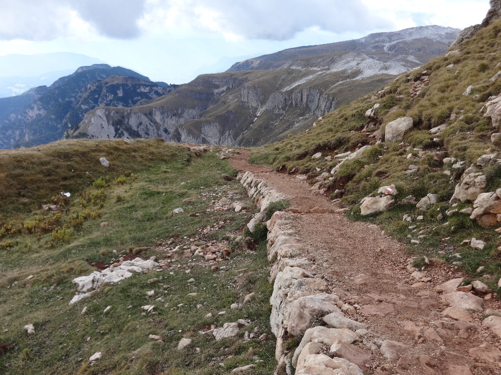
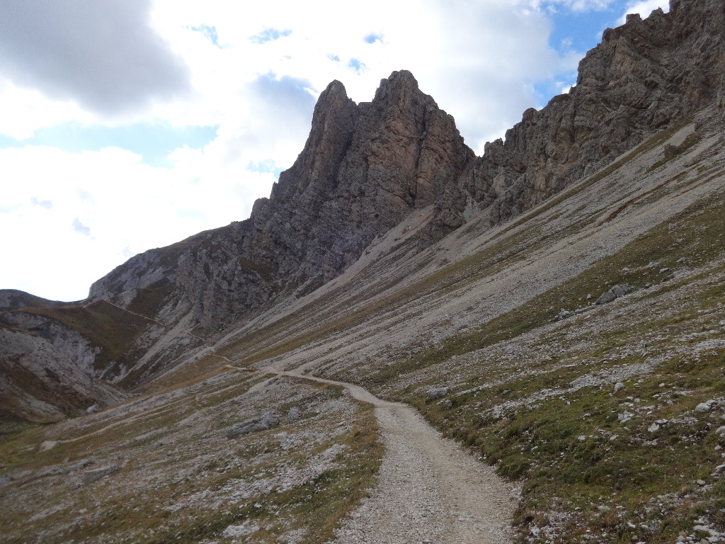
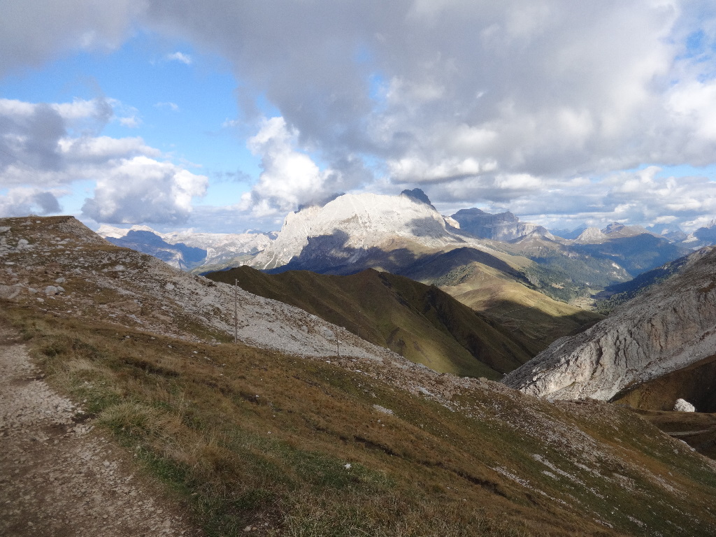
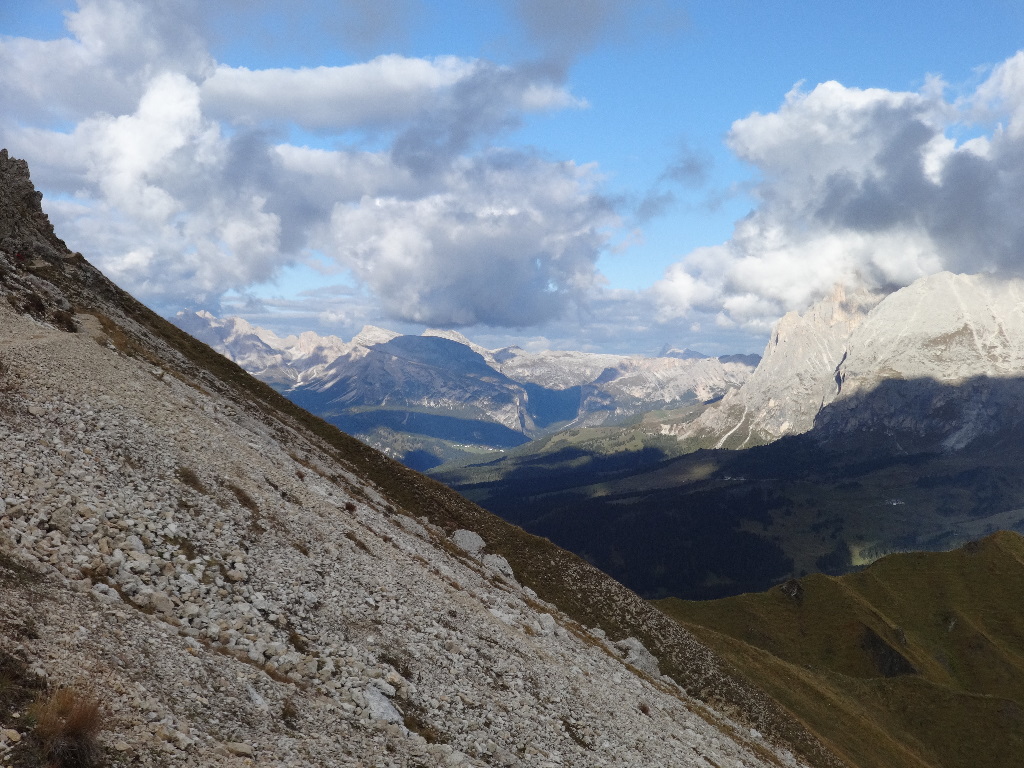
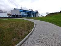
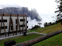
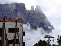
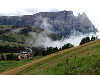
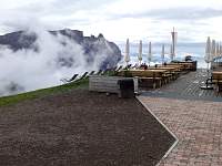
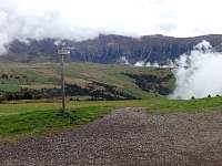
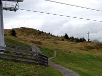
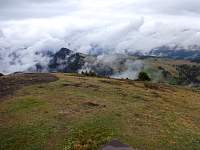
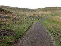
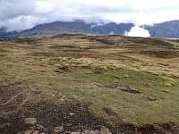
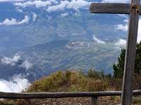
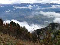
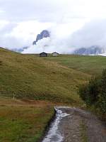
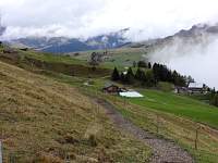
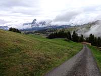
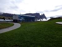
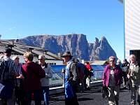
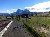
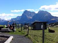
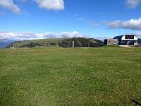
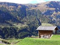
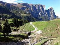
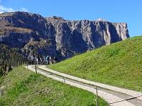
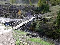
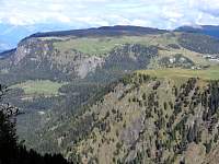
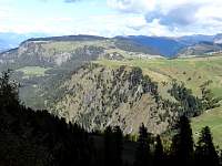
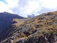
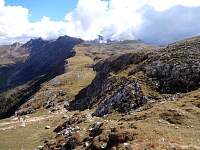
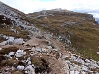
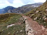
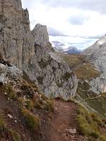
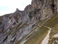
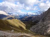
When I awoke in Bolzano and bused to Siusi (which took about 40 minutes), it was raining. In Siusi, down in the valley, it was still socked in, with rain and drizzle alternating. I figured I'd take the lift up to Compatsch and inspect the conditions for a walk. It turned out that the situation was fairly pleasant for a circuit of the Bulacia Platea, while the clouds hung tough down in the valley.
|
|
|
|
2014:10:01 14:08:46
|
2014:10:01 14:08:57
|
2014:10:01 14:12:07
|
2014:10:01 14:12:14
|
2014:10:01 14:12:34
|
2014:10:01 14:13:36
|
2014:10:01 14:13:51
|
2014:10:01 14:15:41
|
2014:10:01 14:21:43
|
2014:10:01 14:40:49
|
2014:10:01 14:41:01
|
2014:10:01 14:41:09
|
2014:10:01 14:43:24
|
2014:10:01 14:43:33
|
2014:10:01 14:45:52
|
2014:10:01 14:46:15
|
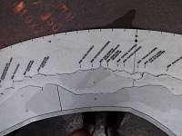
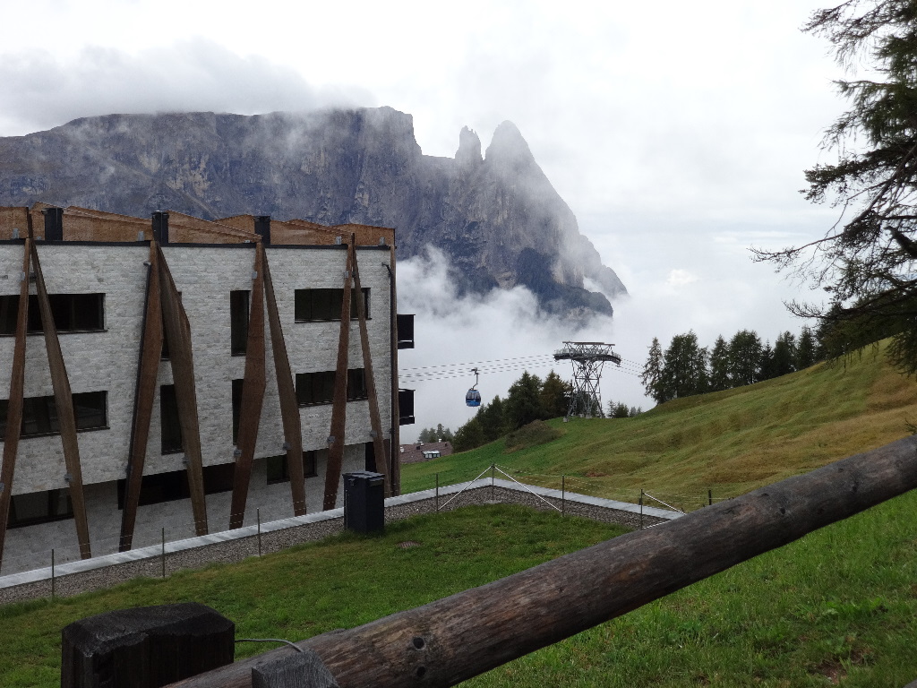
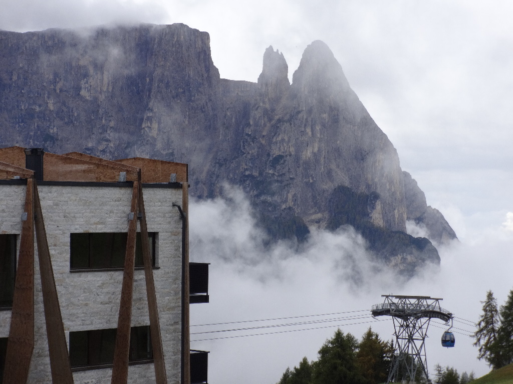
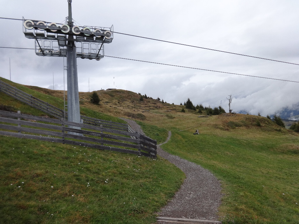
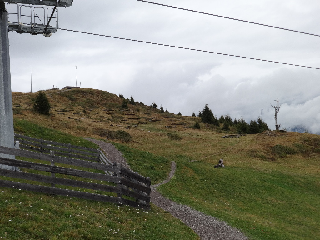
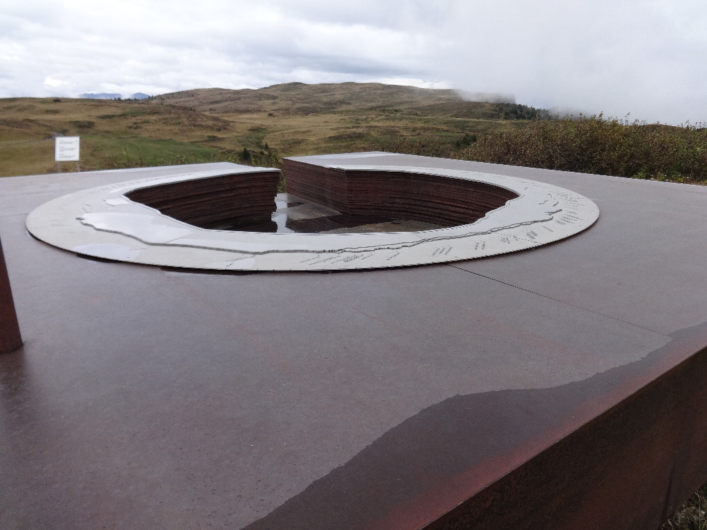
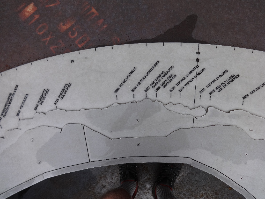
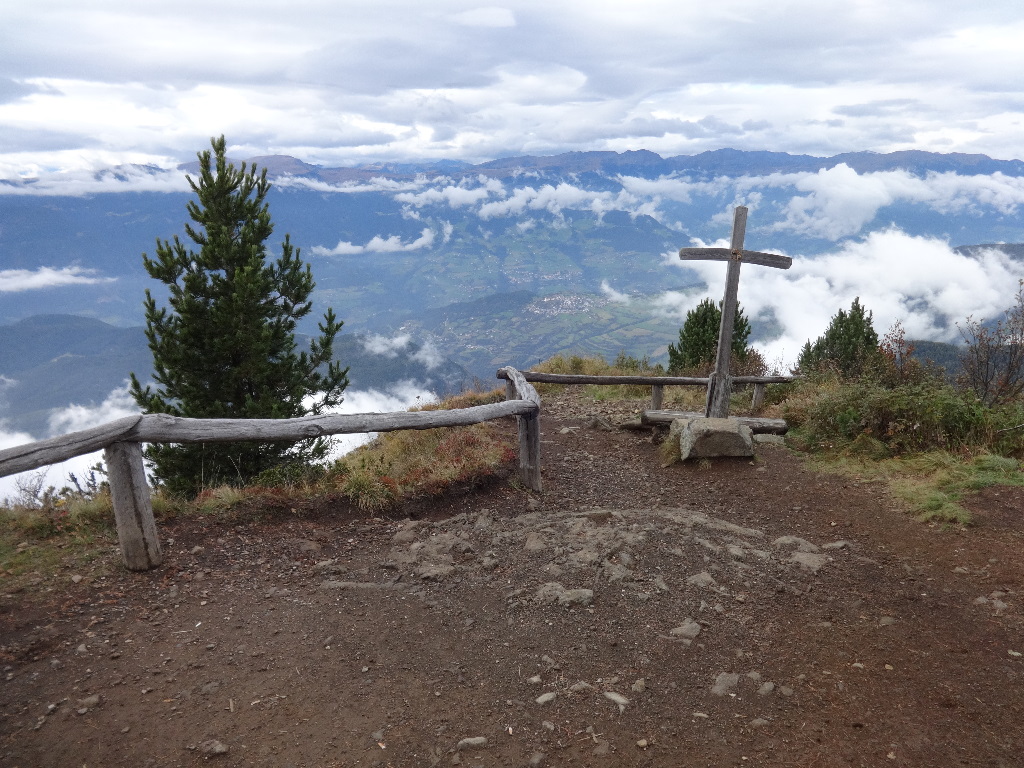
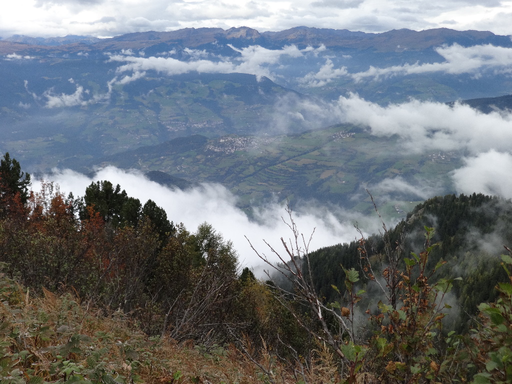
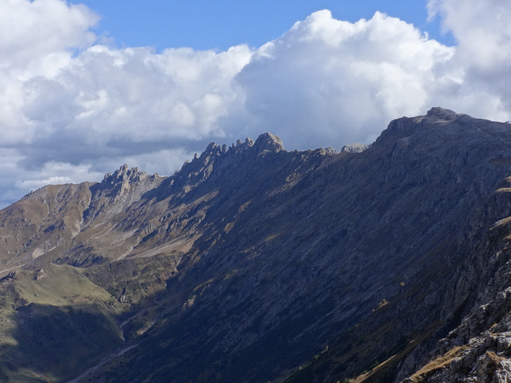
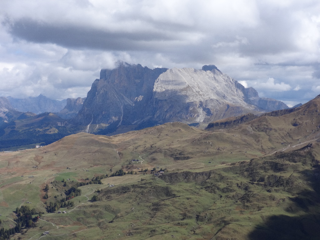
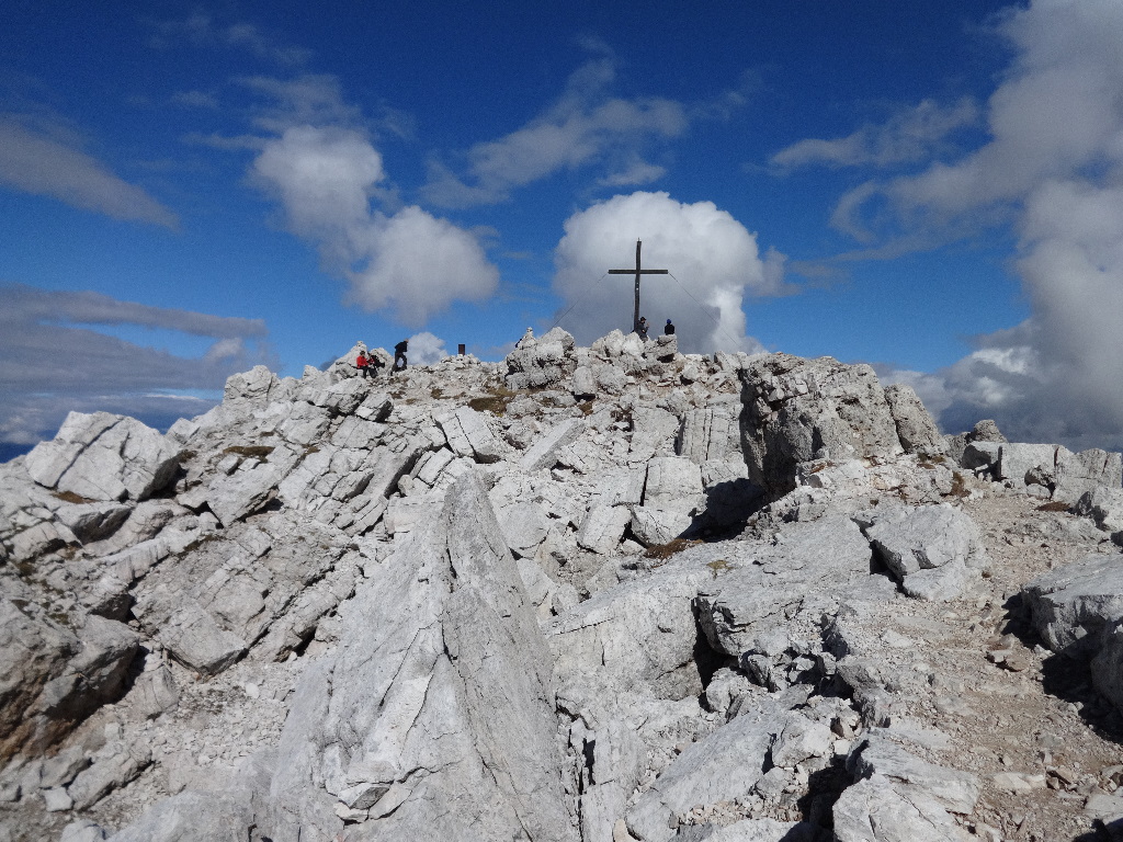
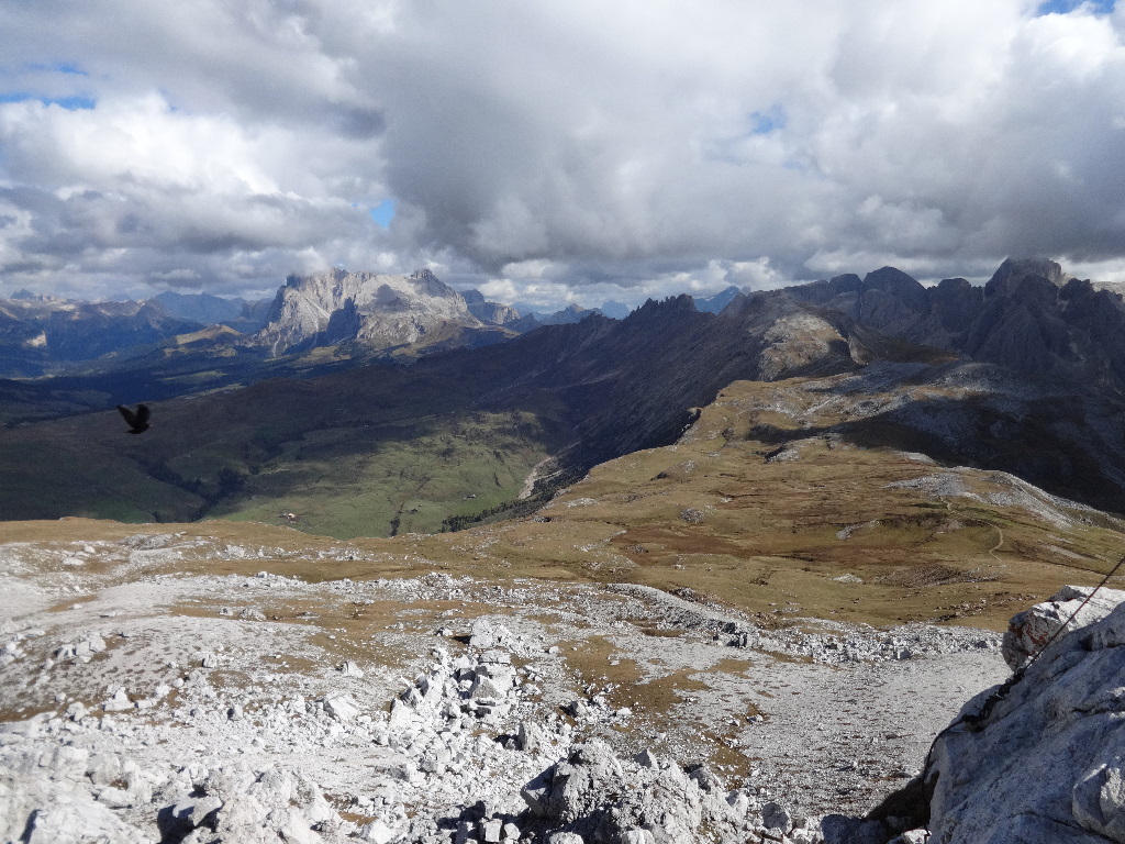
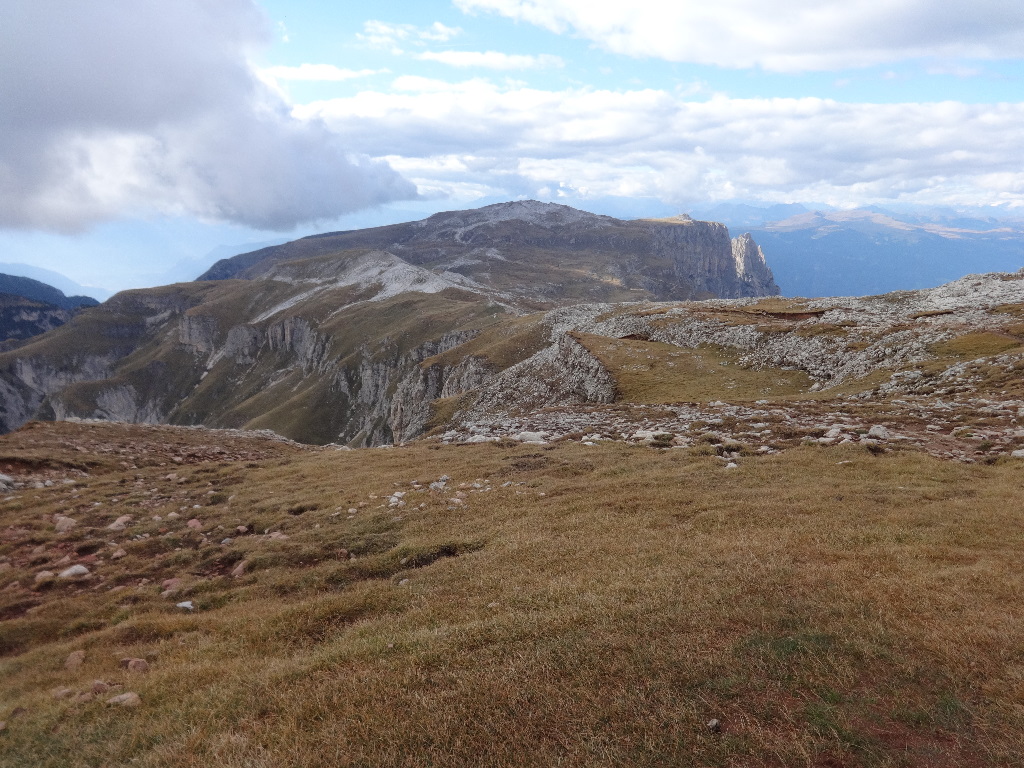
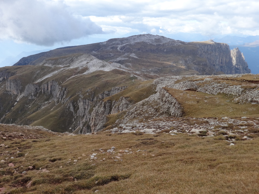
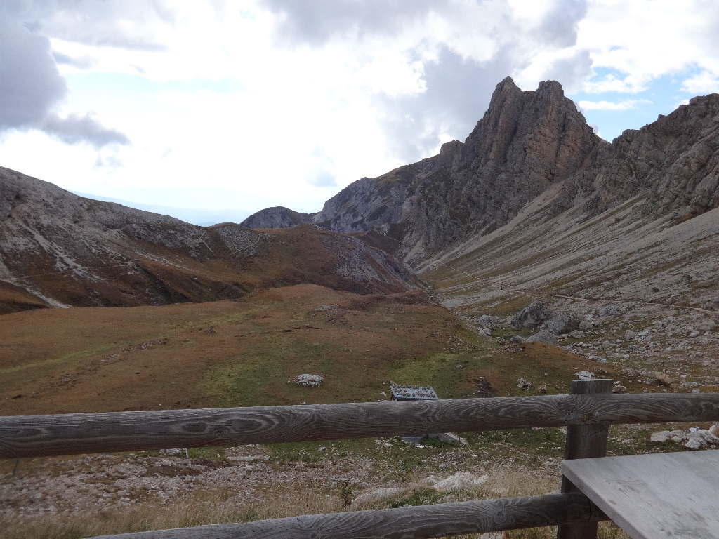
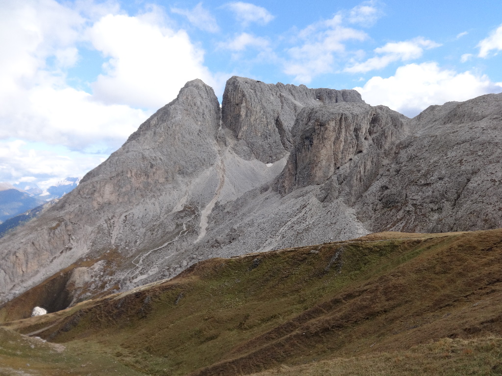
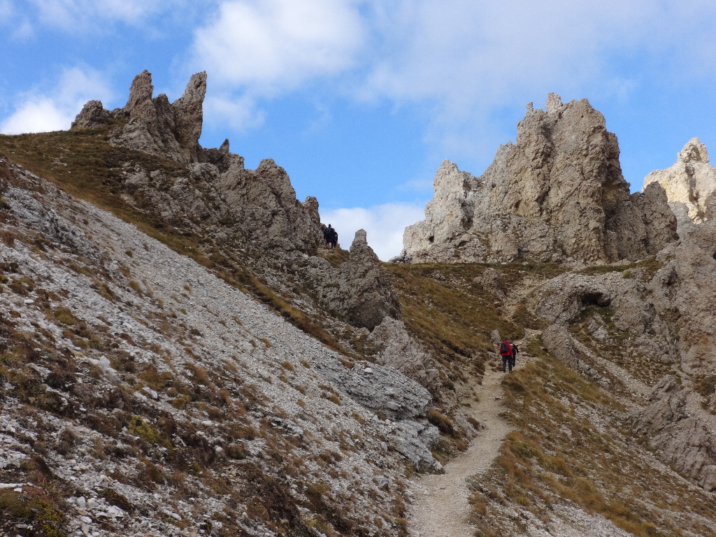
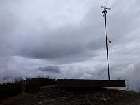
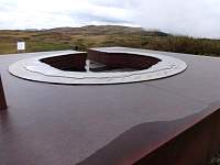
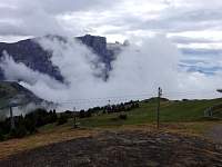
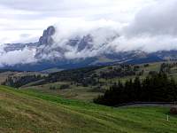
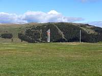
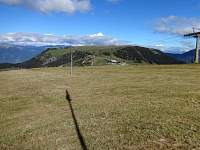
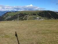
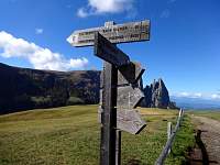
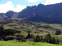
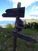
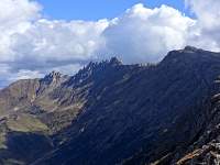
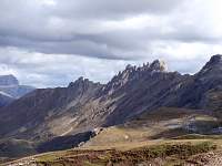
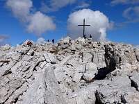
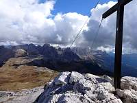
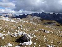
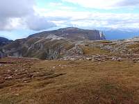
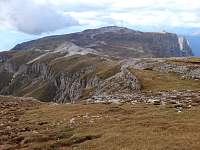
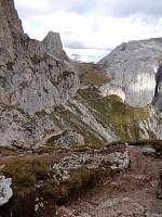
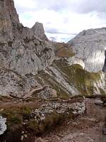
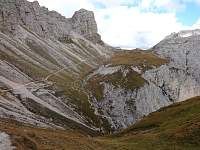
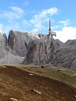
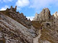
It was too cloudy to see most of the summits indicated, but the 360-degree labeled profile would serve as a worthy resource on a clear day.
2014:10:01 14:46:57
|
2014:10:01 14:47:06
|
2014:10:01 14:47:22
|
2014:10:01 14:47:31
|
2014:10:01 15:00:20
|
2014:10:01 15:07:46
|
2014:10:01 15:08:12
|
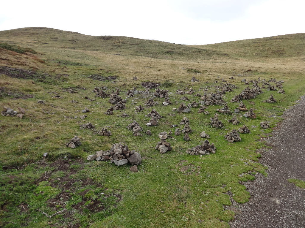
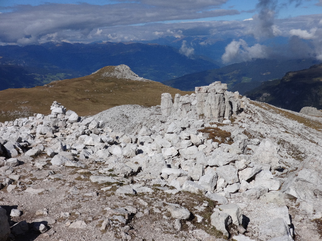
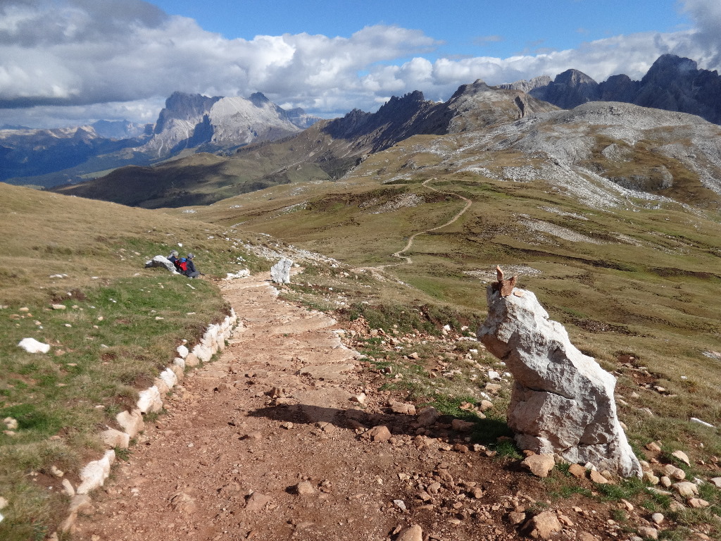
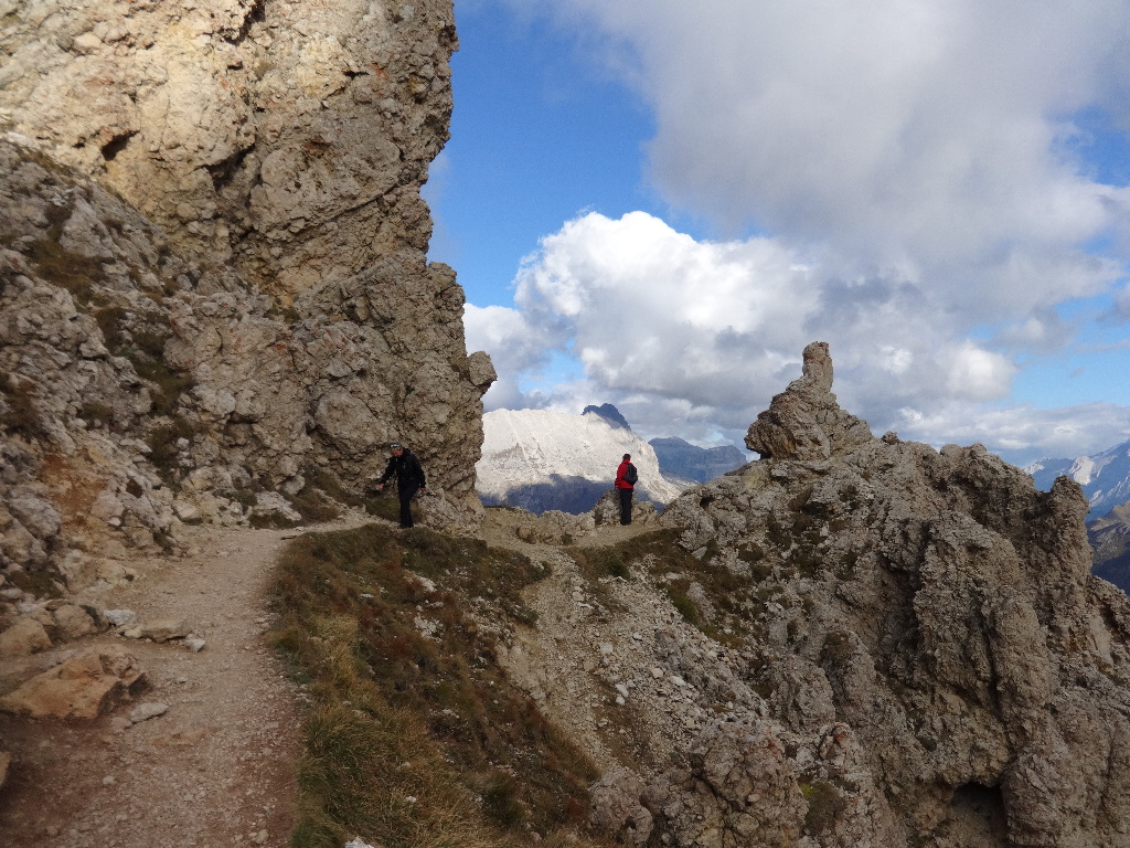
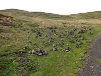
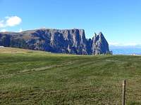
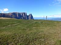
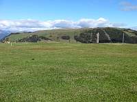
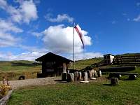
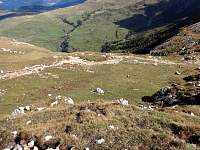
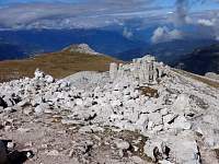
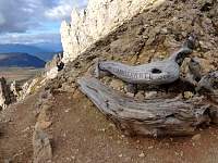
The zen rock people had a party.
2014:10:01 15:08:36
|
2014:10:01 15:11:15
|
2014:10:01 15:11:28
|
2014:10:01 15:11:38
|

2014:10:01 15:11:46
|
2014:10:01 15:18:02
|
2014:10:01 15:18:14
|
2014:10:01 15:20:48
|
2014:10:01 15:21:03
|
2014:10:01 15:25:49
|
2014:10:01 15:33:30
|
2014:10:01 15:33:47
|

2014:10:01 15:34:19
|
2014:10:01 15:37:00
|

2014:10:01 15:41:29
|
2014:10:01 15:41:51
|
2014:10:01 15:42:24
|
2014:10:01 15:42:47
|
2014:10:01 15:43:49
|
2014:10:01 15:52:00
|
2014:10:01 16:04:58
|
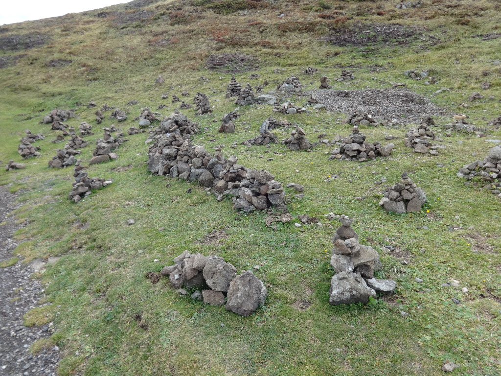
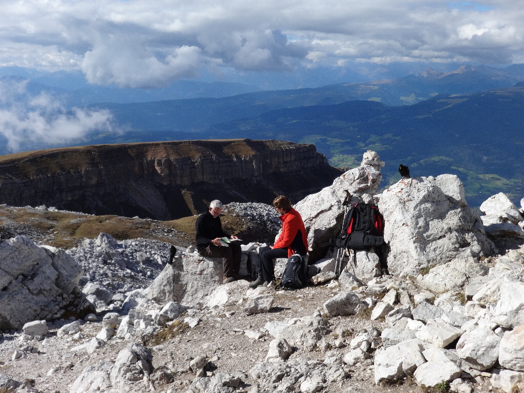
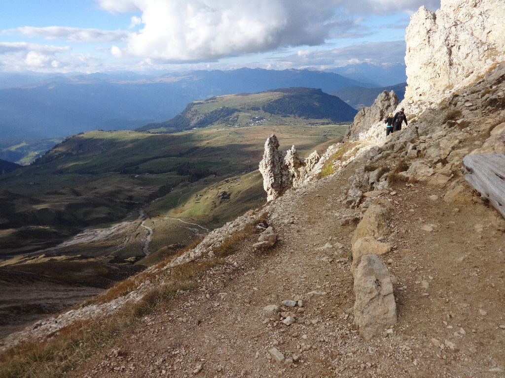
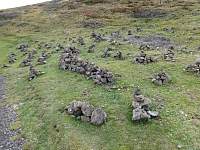
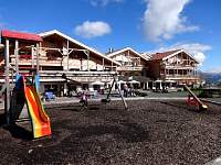
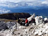
From my perspective, it did not seem to be a great spot for dancing.
2014:10:01 16:06:18
|
2014:10:01 16:06:48
|
2014:10:01 16:10:03
|
2014:10:01 16:10:19
|
2014:10:01 16:10:44
|
2014:10:01 16:18:16
|
2014:10:01 16:18:27
|
2014:10:01 16:33:55
|
2014:10:01 16:34:19
|
|
|
|
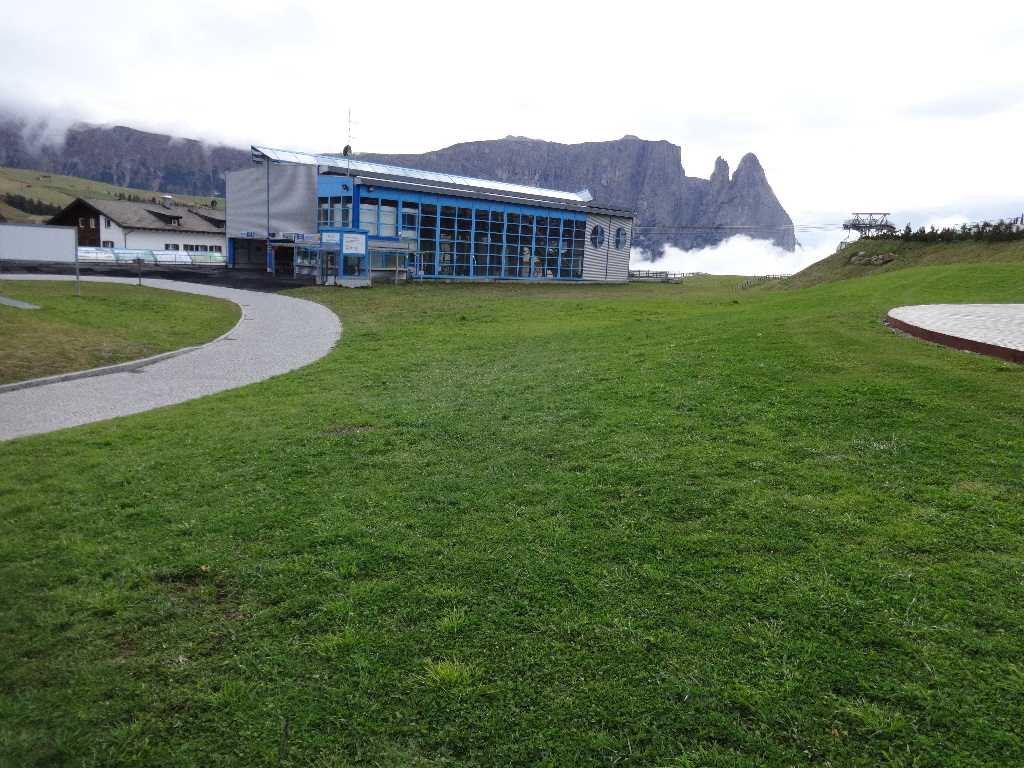
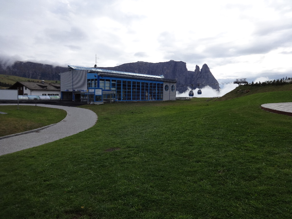
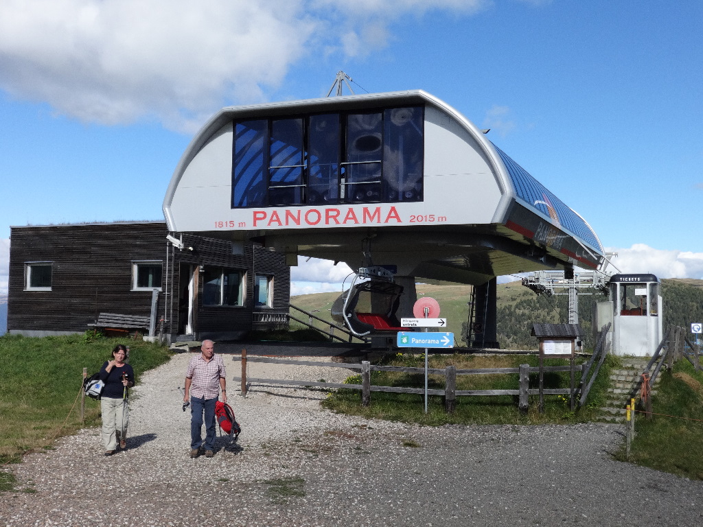
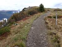
October 2 – Hike from Panorama Lift to Rif. Bolzano + Monte Pez. Hike to Rif Tires and back to Compatsch.
|
 |
|
|
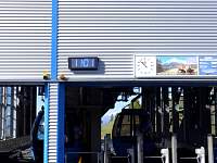
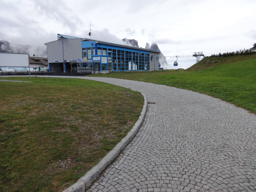
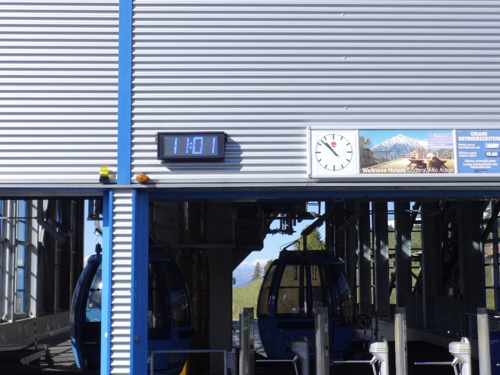
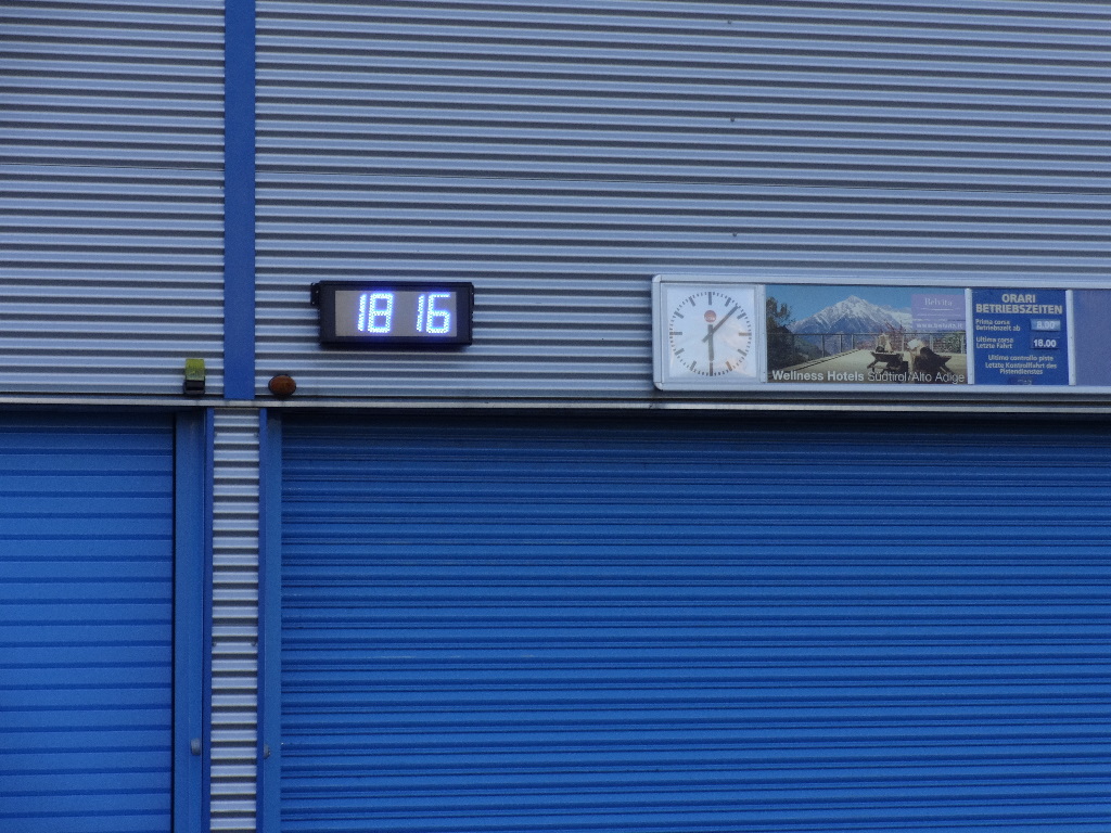
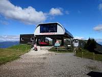
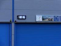
The clocks at the top of the Compatsch lift disagreed with each other, and with my camera, but confirmed that the camera was still off by an hour.
2014:10:02 09:56:59
|
2014:10:02 09:57:24
|
2014:10:02 09:57:37
|
2014:10:02 10:01:02
|
2014:10:02 10:01:09
|
2014:10:02 10:03:30
|
2014:10:02 10:23:14
|

2014:10:02 10:23:23
|
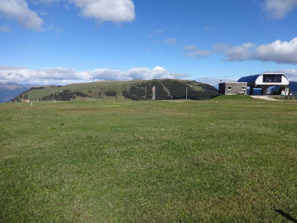
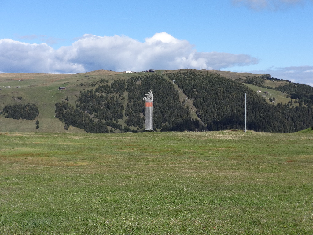
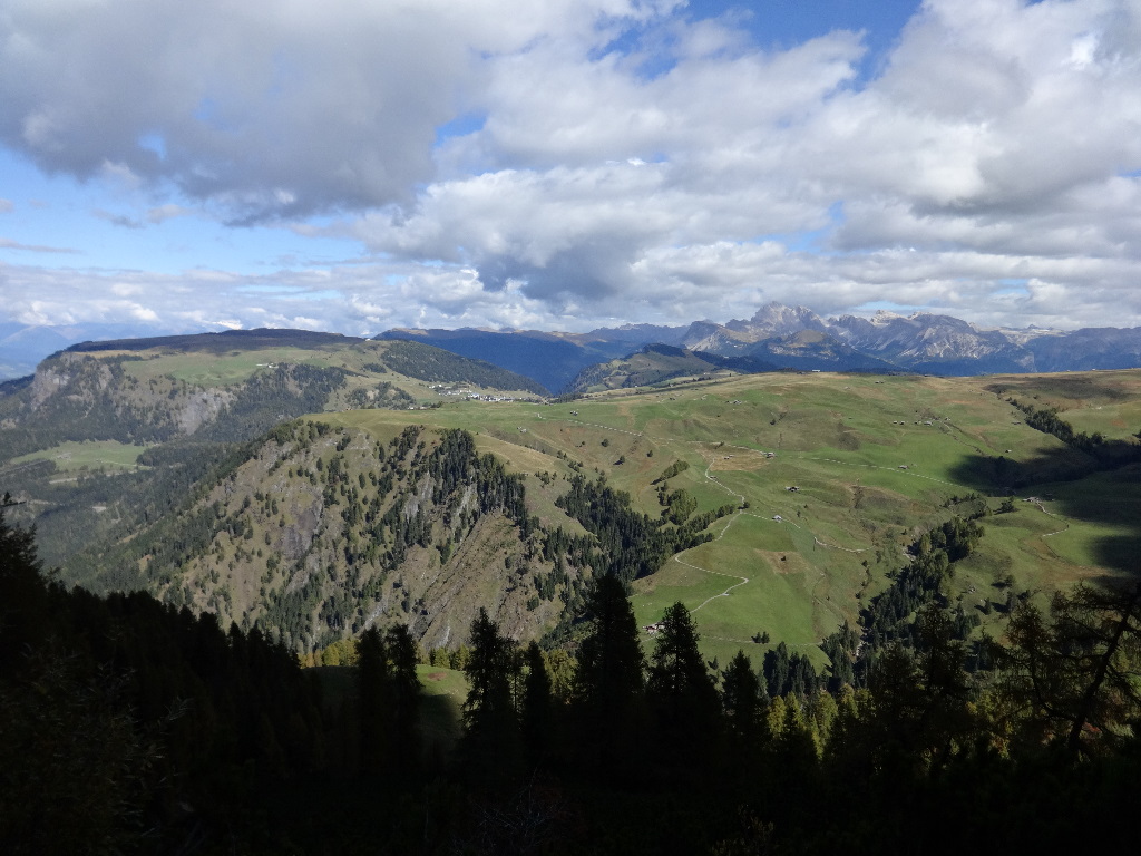
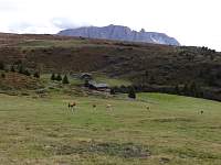
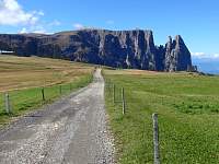
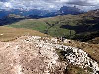
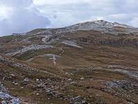
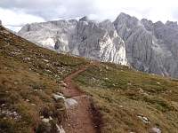
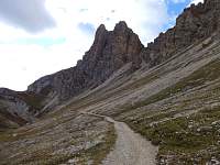
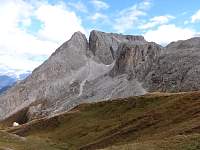
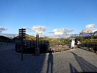
The summit about a third of the way into the photo from the left is my destination, Monte Pez, with a summit elevation of 2563 M. The top of the 'Panorama' lift, where I started walking, was at 2009 M.
2014:10:02 10:23:34
|
2014:10:02 10:23:43
|
2014:10:02 10:24:11
|
2014:10:02 10:24:23
|
2014:10:02 10:24:31
|

2014:10:02 10:24:40
|
2014:10:02 10:28:38
|
2014:10:02 10:28:45
|
2014:10:02 10:29:06
|
2014:10:02 10:29:15
|
2014:10:02 10:29:28
|
2014:10:02 10:29:38
|
2014:10:02 10:39:10
|
2014:10:02 10:39:18
|
2014:10:02 10:41:54
|
2014:10:02 10:43:17
|
2014:10:02 10:43:31
|
2014:10:02 10:43:36
|
2014:10:02 10:43:41
|
2014:10:02 10:51:27
|
2014:10:02 10:51:43
|
2014:10:02 10:57:27
|
2014:10:02 10:58:25
|
2014:10:02 10:58:32
|
2014:10:02 10:59:51
|
2014:10:02 11:01:30
|
2014:10:02 11:01:43
|
2014:10:02 11:01:50
|
2014:10:02 11:10:02
|
2014:10:02 11:11:26
|
2014:10:02 11:11:33
|
2014:10:02 11:13:58
|

2014:10:02 11:14:05
|

2014:10:02 11:14:57
|
2014:10:02 11:15:40
|
2014:10:02 11:34:18
|
2014:10:02 11:34:39
|
2014:10:02 12:04:13
|
2014:10:02 12:04:28
|
2014:10:02 12:04:36
|
2014:10:02 12:04:47
|
2014:10:02 12:05:03
|
2014:10:02 12:24:30
|
2014:10:02 12:24:42
|
2014:10:02 12:24:55
|
2014:10:02 12:38:36
|
2014:10:02 12:38:51
|
2014:10:02 12:39:03
|
2014:10:02 12:39:10
|
2014:10:02 12:39:20
|
2014:10:02 12:46:09
|
2014:10:02 12:46:28
|
2014:10:02 12:48:45
|
2014:10:02 12:48:52
|
2014:10:02 12:50:41
|
2014:10:02 12:50:52
|
2014:10:02 12:51:01
|
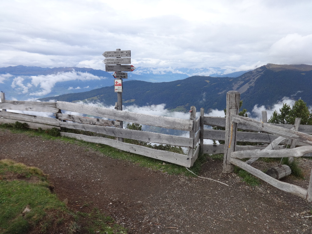
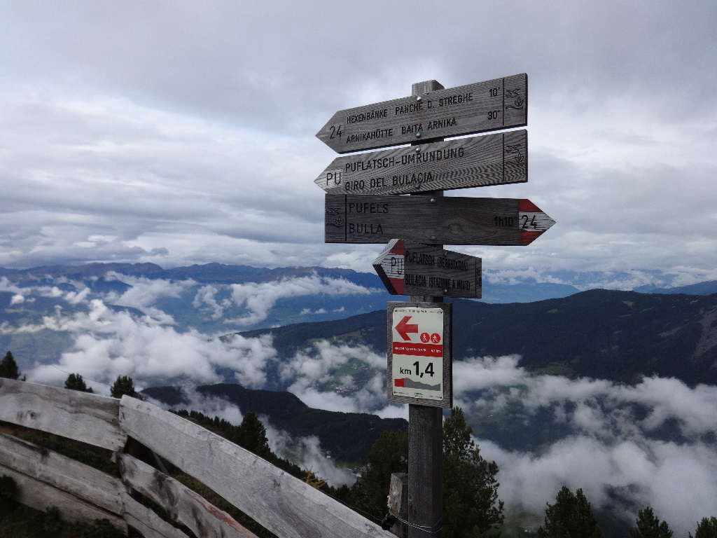
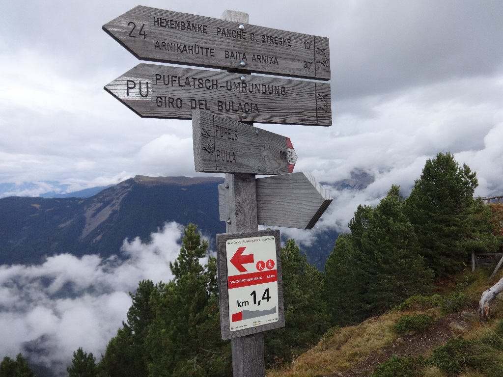
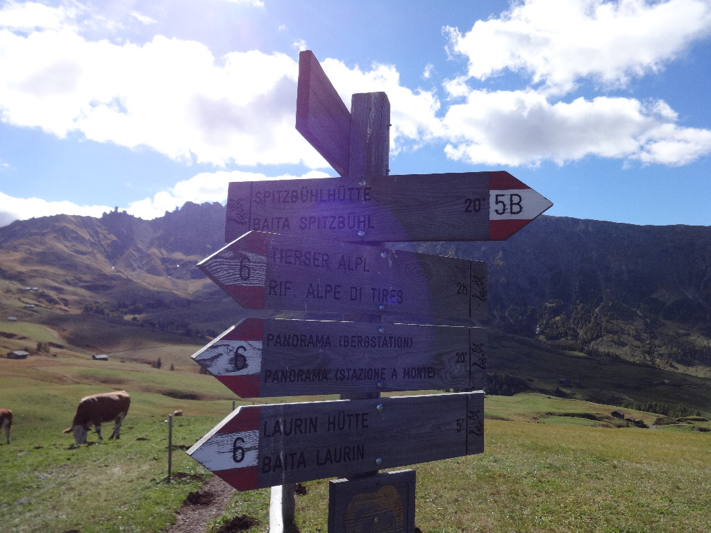
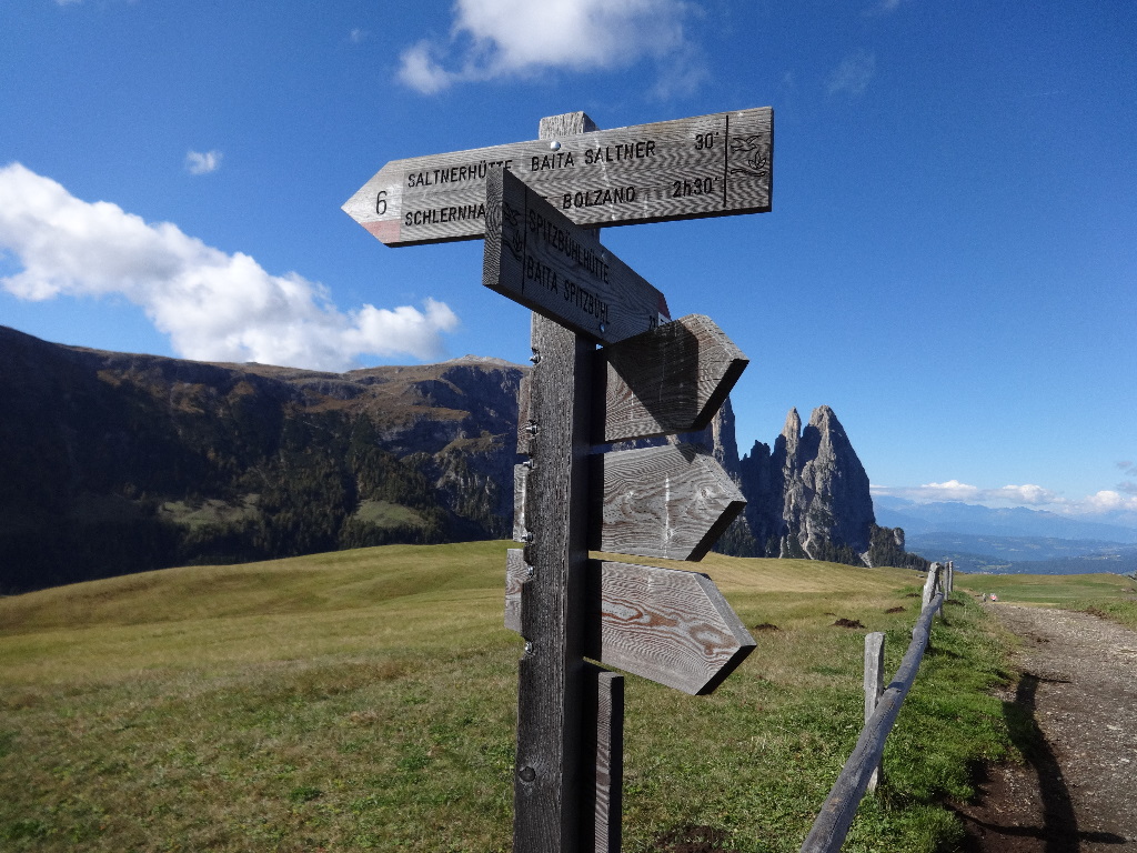
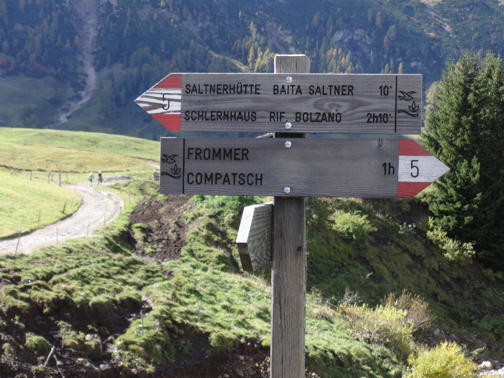
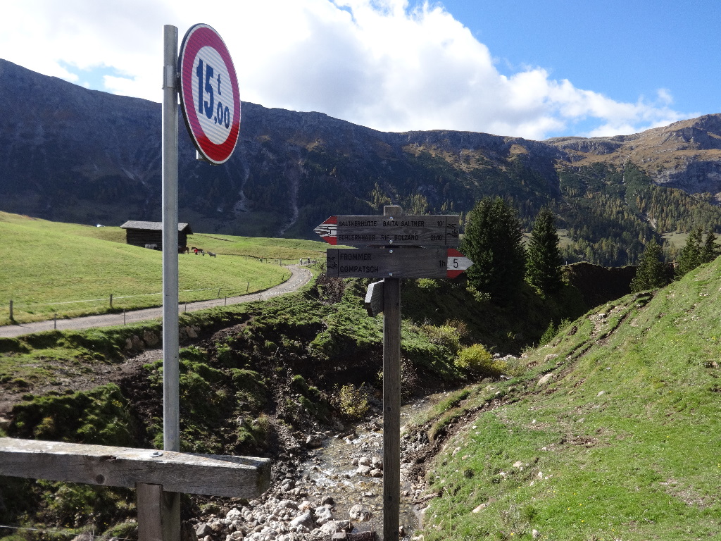
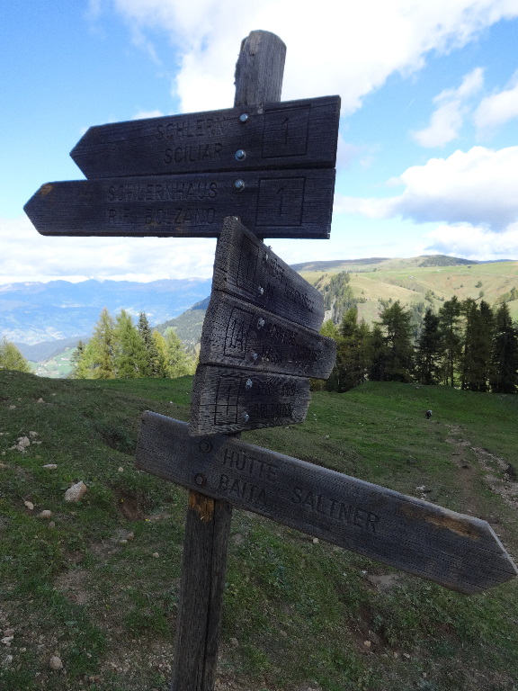
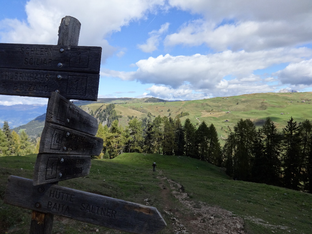
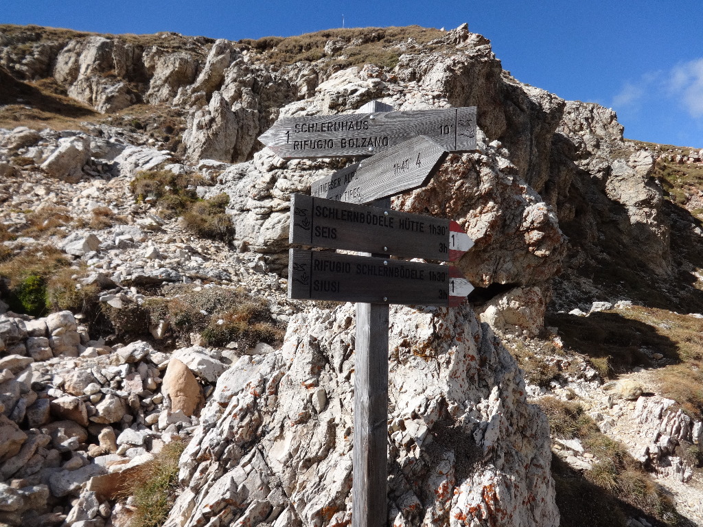
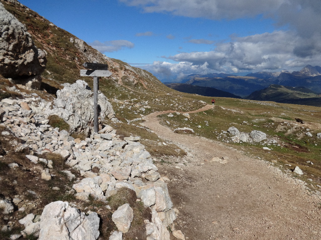
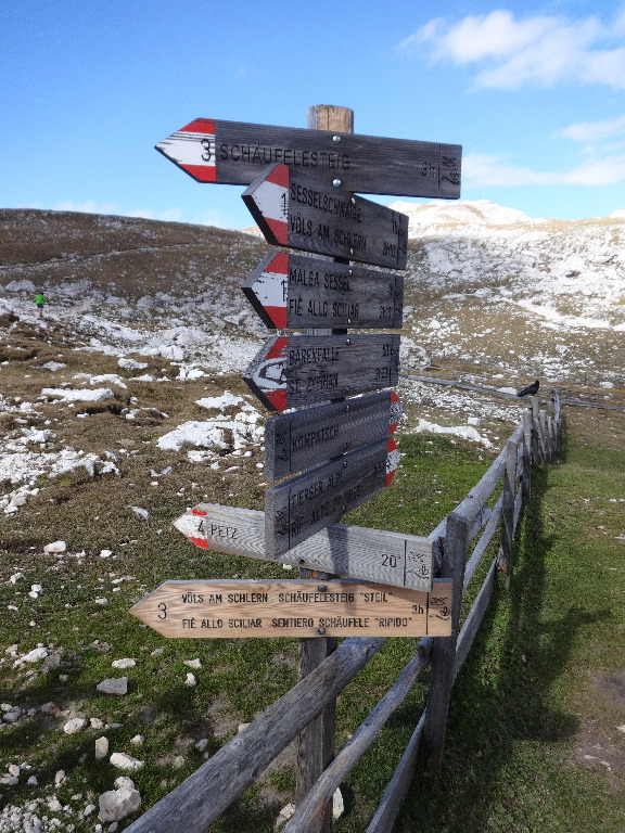
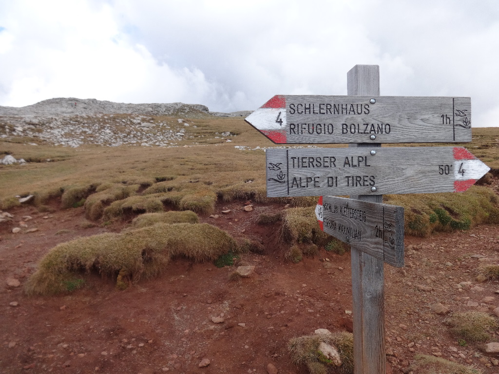
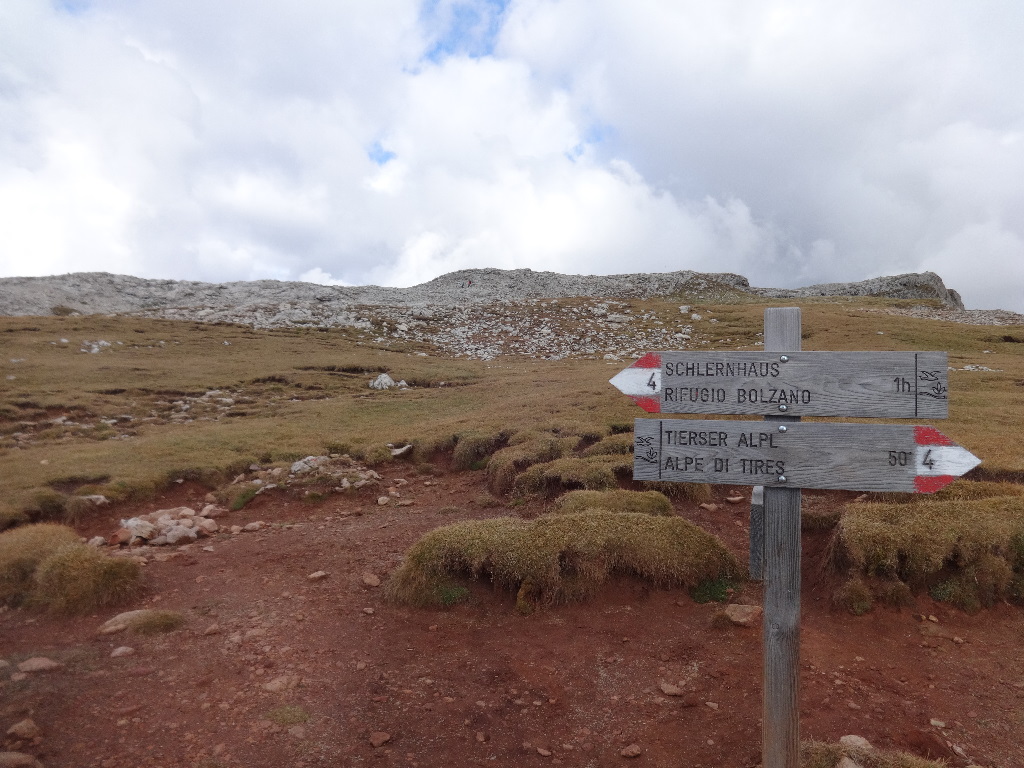
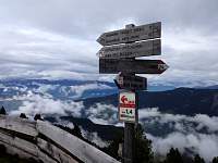
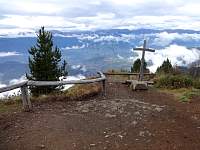
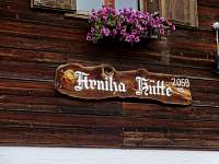
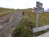
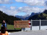
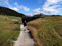
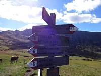
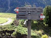
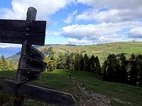
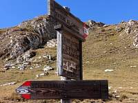
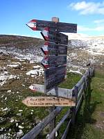
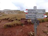
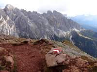
My intention had been to attain Rifugio Bolzano (the 'Bolzano Hut') and Monte Pez and continue past and down a shoulder into the valley. But when I saw this sign, indicating that it was only an hour and 40 minutes to Rif. Tires via Trail 4, I reconsidered my route.
2014:10:02 12:58:35
|

2014:10:02 12:58:57
|
2014:10:02 12:59:11
|
2014:10:02 13:07:53
|
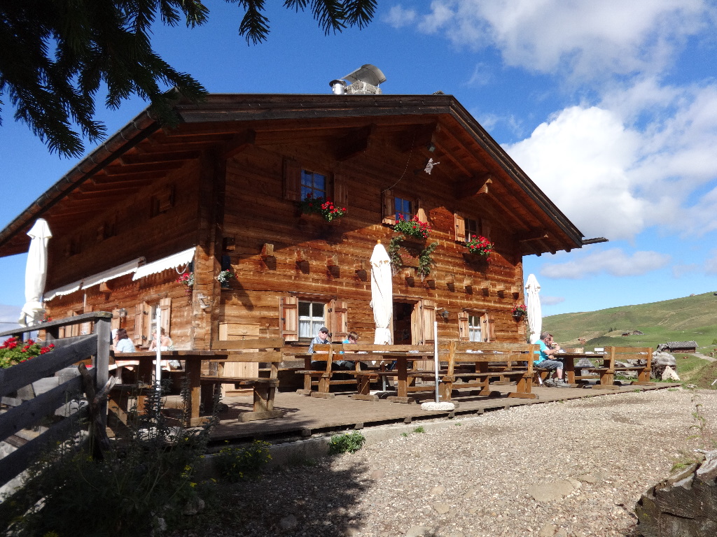
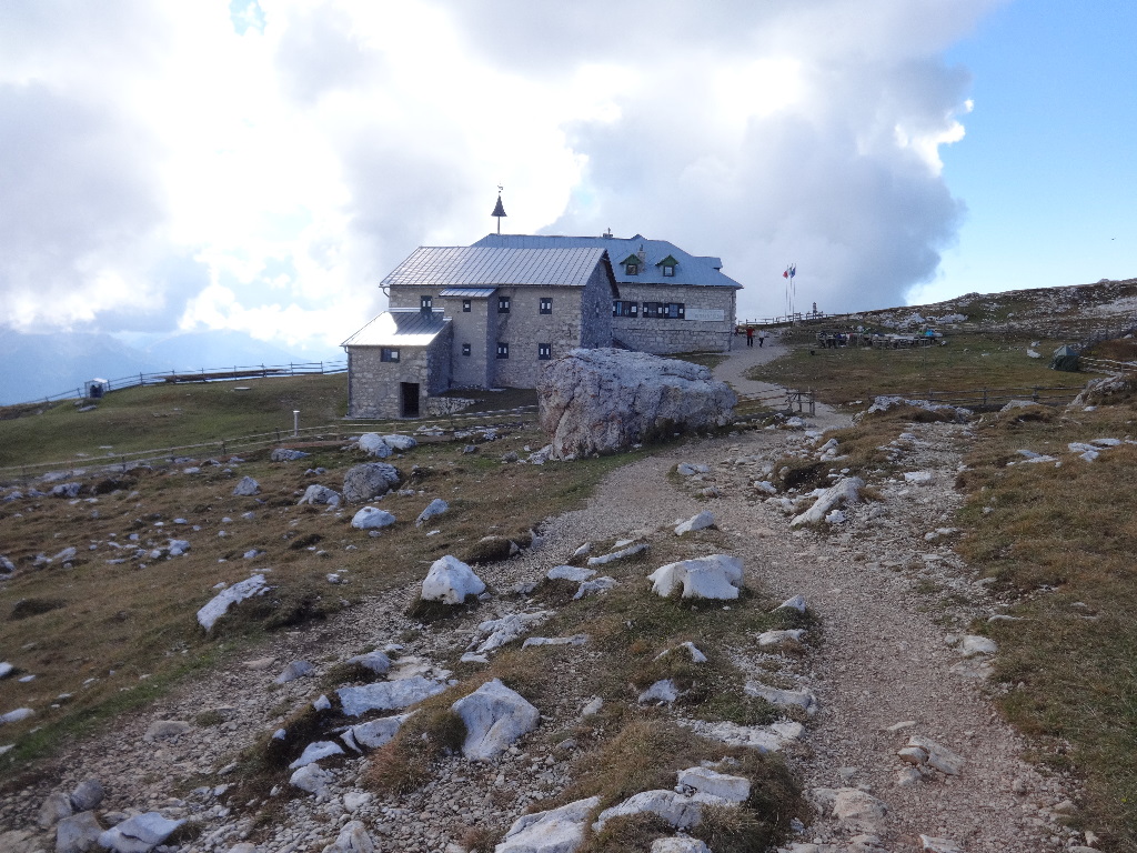
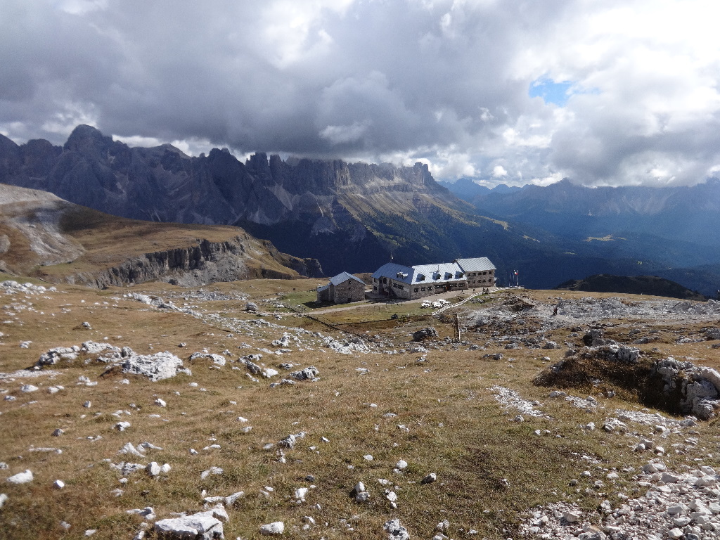
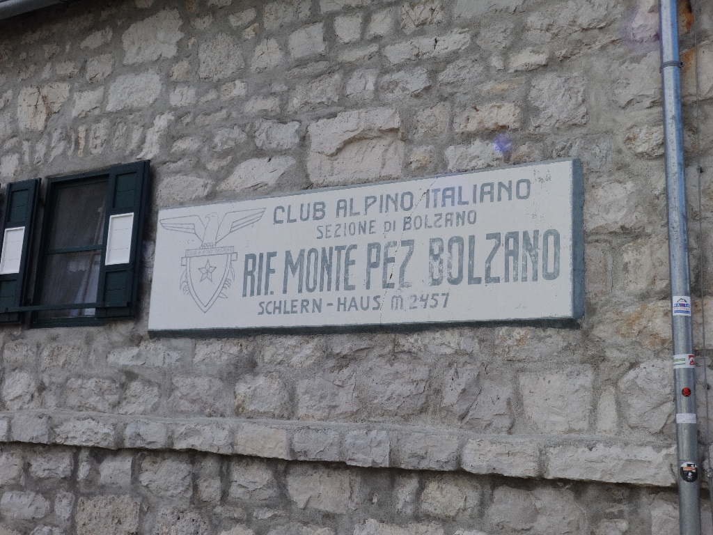
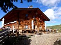
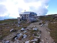
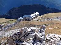
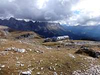
Rif. Bolzano.
2014:10:02 13:08:00
|
2014:10:02 13:12:09
|

2014:10:02 13:25:19
|
2014:10:02 13:25:25
|
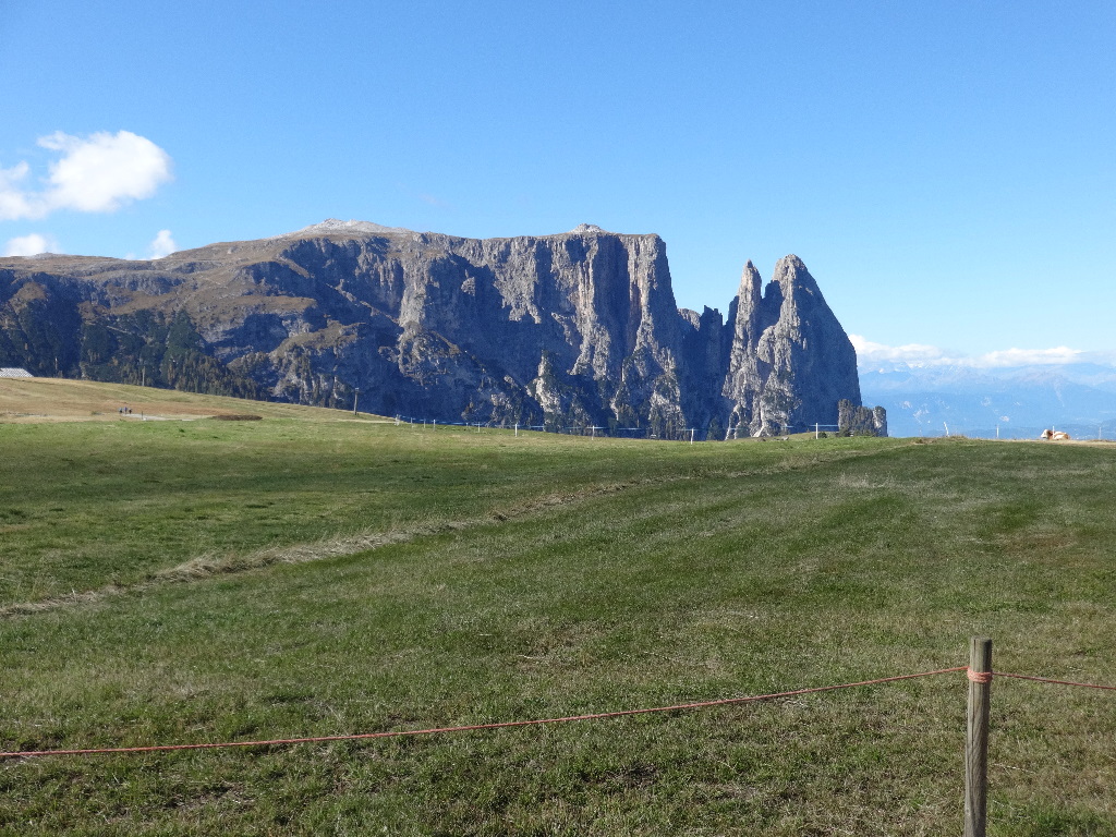
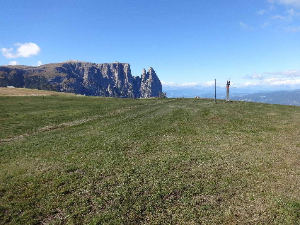
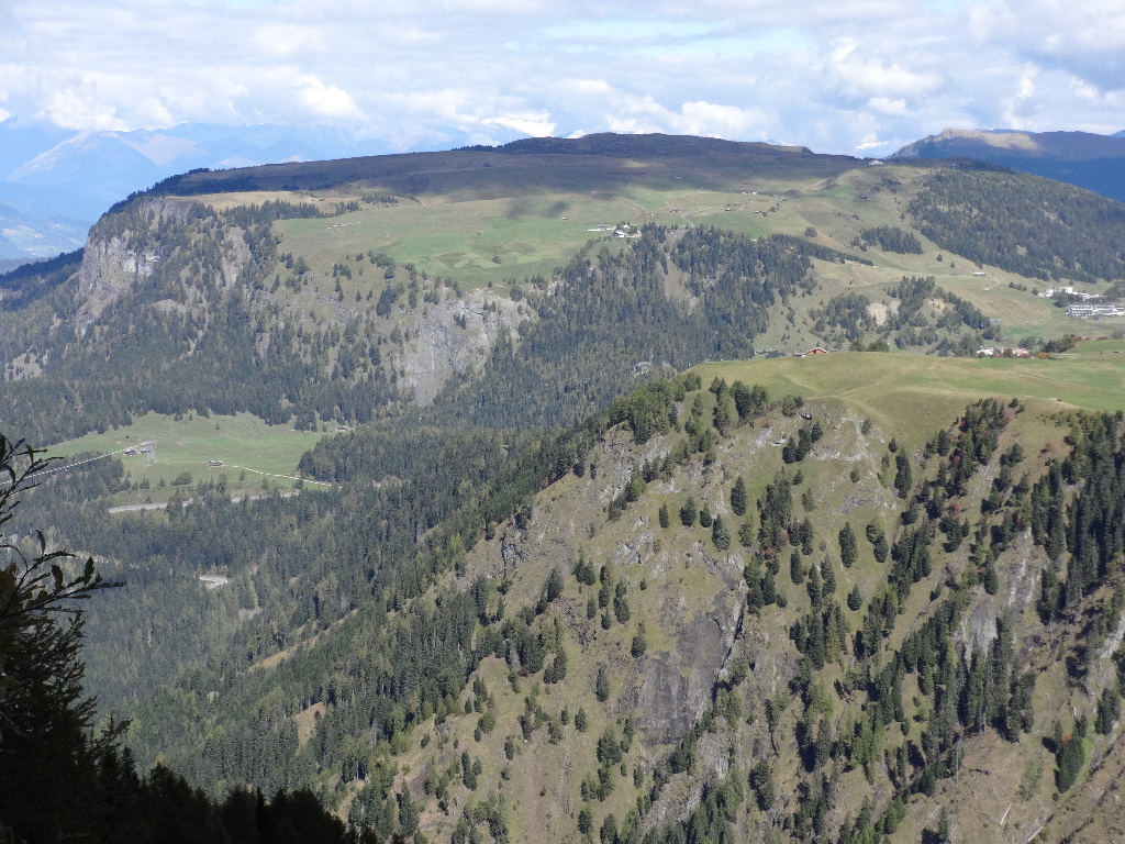
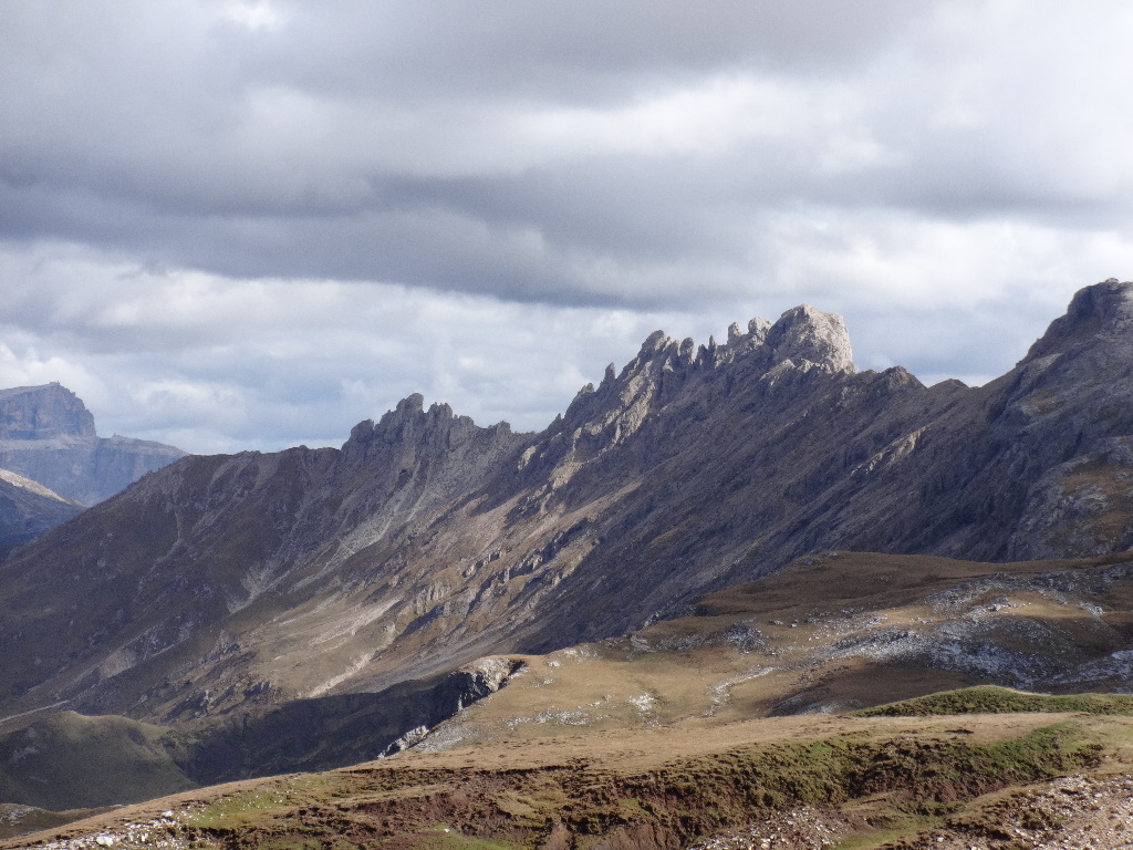
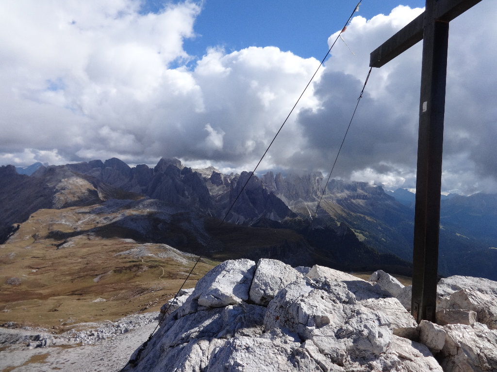
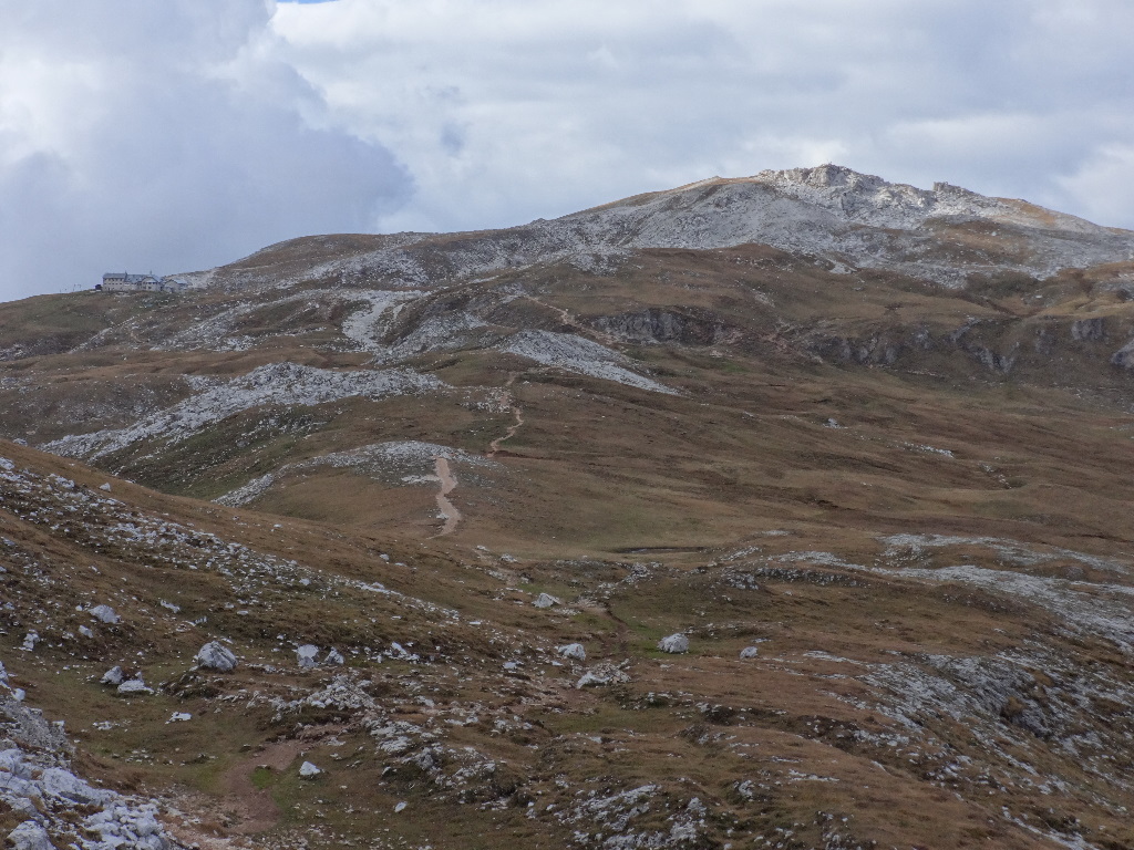
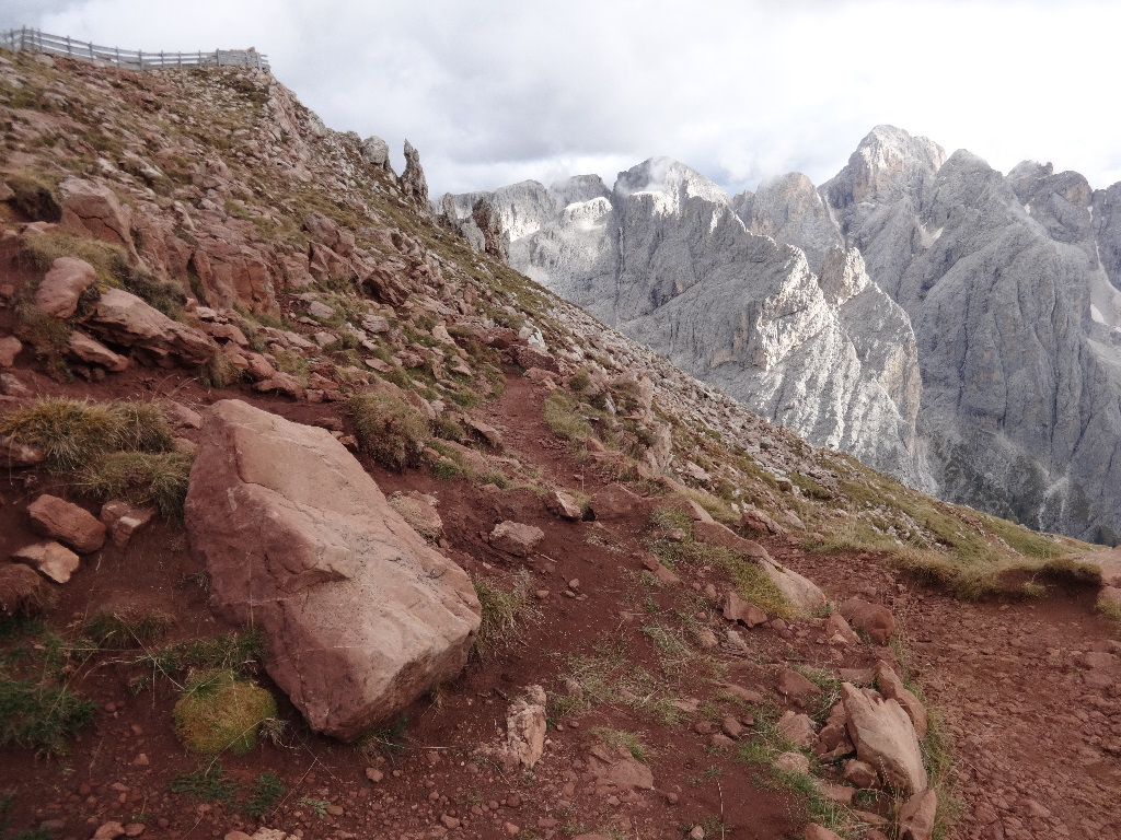
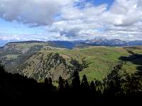
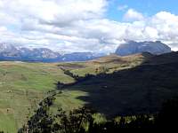
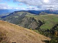
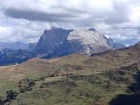
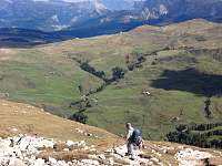
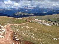
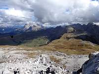
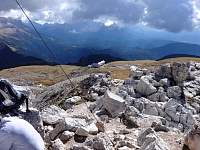
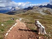
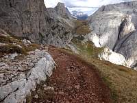
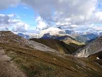
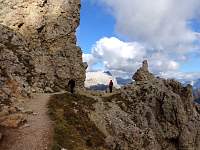
Dolomites(!) from the summit of Monte Pez. Also, a view of the initially-pleasant plateau trail I would be hiking shortly.
2014:10:02 13:31:42
|
2014:10:02 13:31:49
|
2014:10:02 13:32:05
|
2014:10:02 13:32:50
|
2014:10:02 13:32:56
|
2014:10:02 13:34:37
|
2014:10:02 13:34:45
|
2014:10:02 13:44:31
|
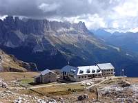
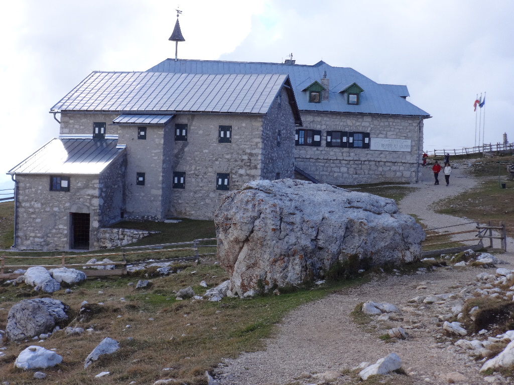
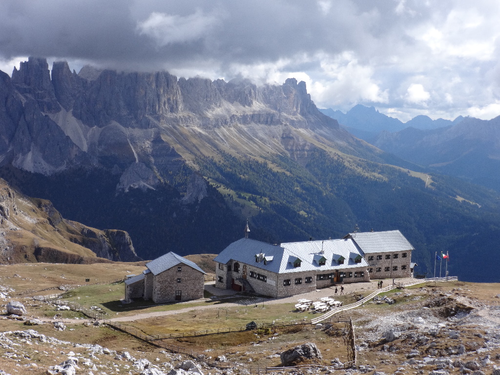
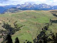
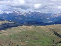
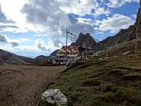
Rif Bolzano, with a view of the Rosengarten Group of Dolomites in the background.
2014:10:02 13:44:42
|
2014:10:02 13:44:49
|

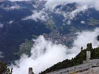
I knew that the Compatsch lift down to Siusi would close at 6 PM. Leaving Rif. Bolzano at nearly 3 PM, I had to hustle if I was going to make it to the lift by 6.
2014:10:02 13:58:35
|
2014:10:02 14:04:07
|
2014:10:02 14:22:56
|
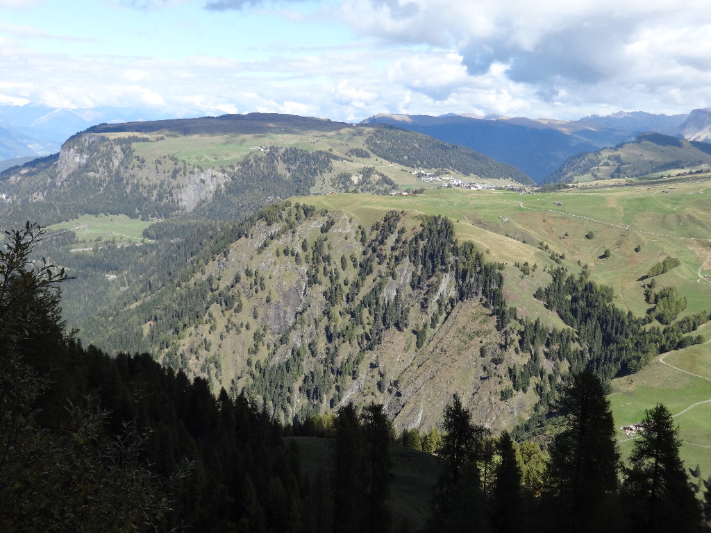
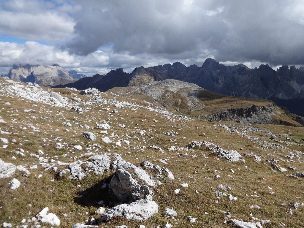
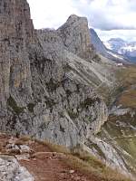
Looking back toward Rif. Bolzano and Monte Pez.
2014:10:02 14:23:08
|
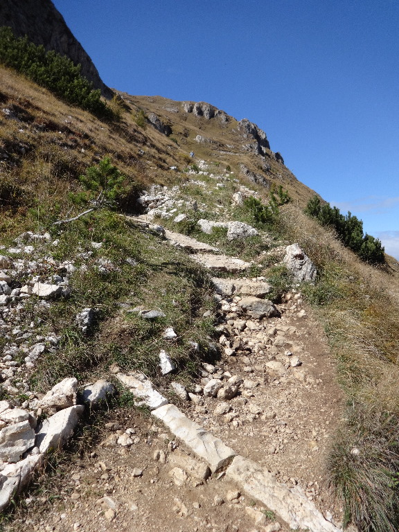
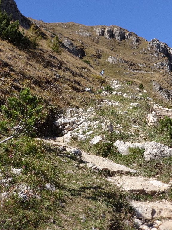
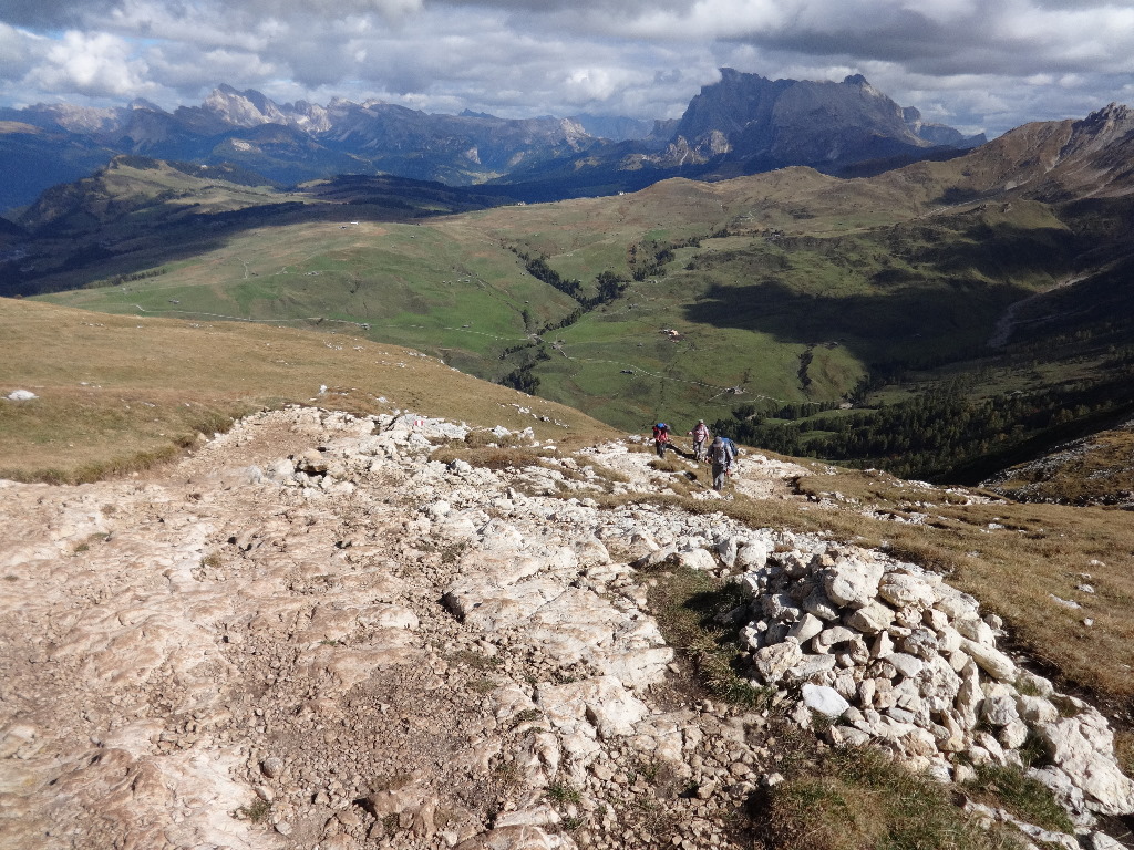
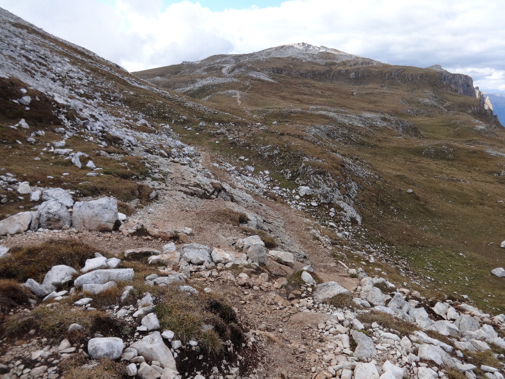
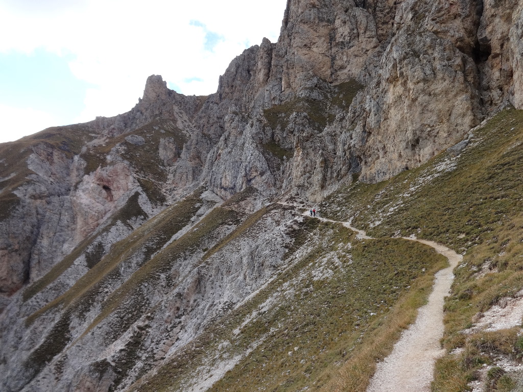
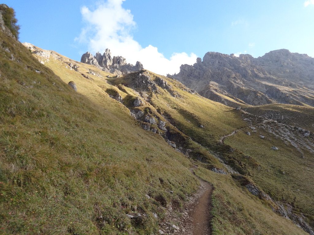
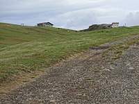
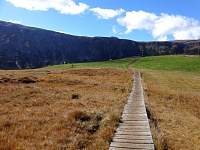
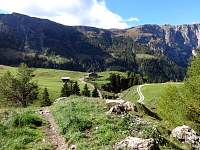
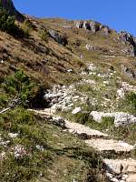
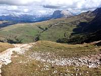
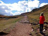
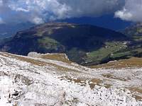
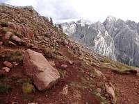
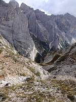
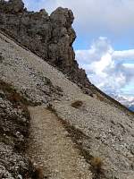
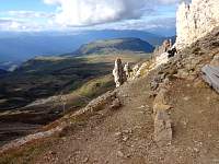
My 'plateau' trail found me ascending more than I enjoyed, and I was dreading continued ascent at my rushed pace. Some hikers I encountered said that I must master the summit ahead before reaching my turn. Fortunately, they were wrong and I hit my junction and began my sometimes precipitous descent to Rif. Alpe di Tires.
2014:10:02 14:55:08
|
2014:10:02 14:55:15
|
2014:10:02 14:55:23
|
2014:10:02 14:55:33
|
2014:10:02 14:57:11
|
2014:10:02 14:57:17
|
2014:10:02 15:00:42
|
2014:10:02 15:02:17
|
2014:10:02 15:03:37
|
2014:10:02 15:03:46
|
2014:10:02 15:07:08
|
2014:10:02 15:10:03
|
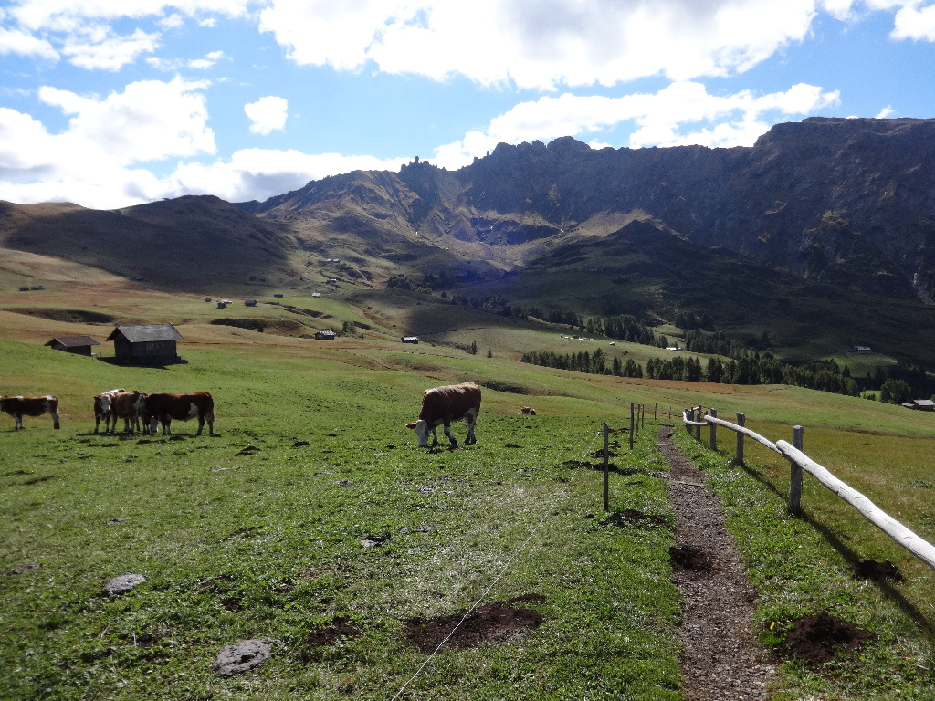
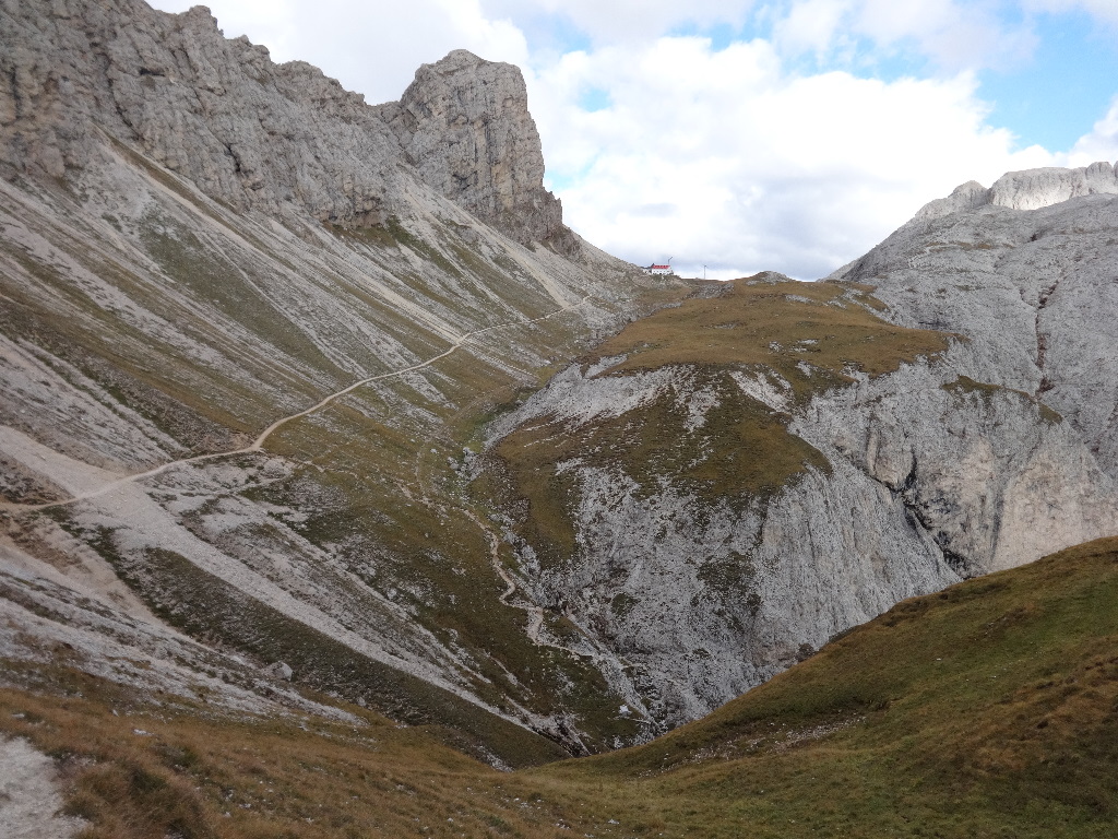
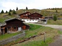
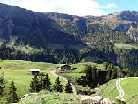
My long descent would culminate in an extended moderate rise to the rifugio, located in the col between the Rosengarten Group and the Alpe di Siusi.
2014:10:02 15:10:10
|
2014:10:02 15:15:47
|
2014:10:02 15:20:00
|
2014:10:02 15:20:43
|
2014:10:02 15:28:35
|
2014:10:02 15:35:50
|
2014:10:02 15:36:27
|
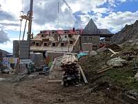
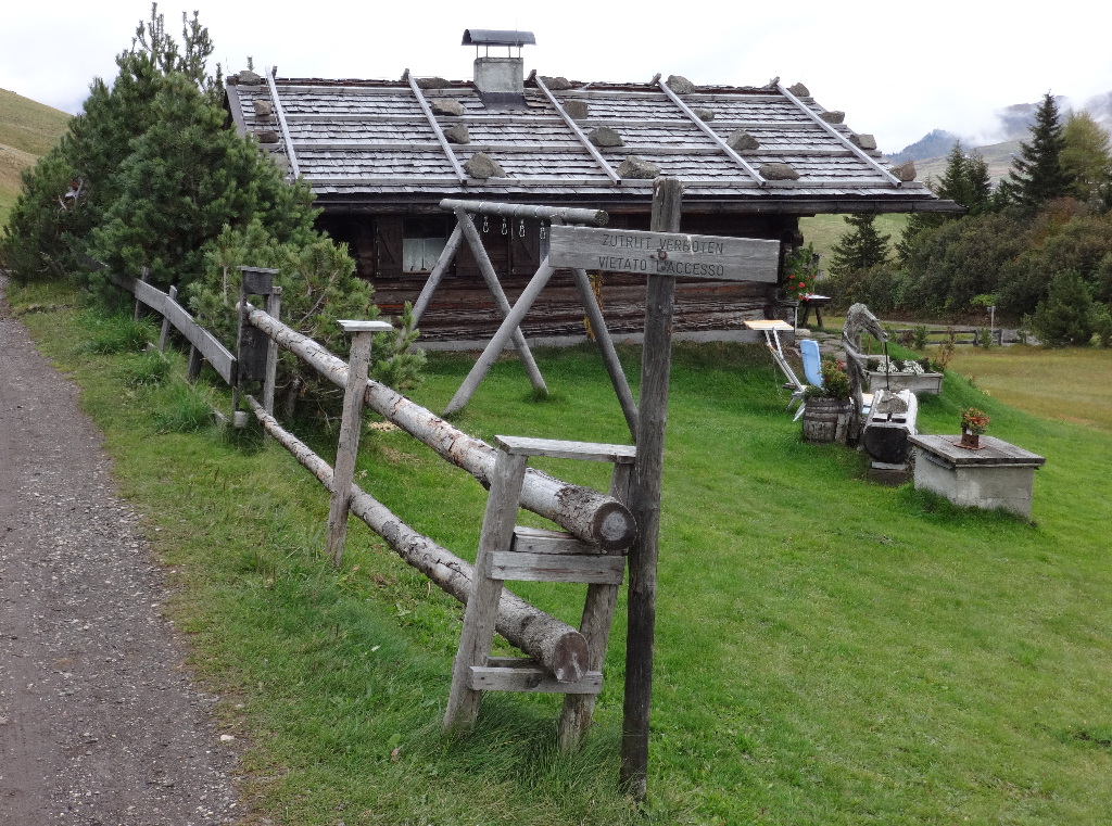
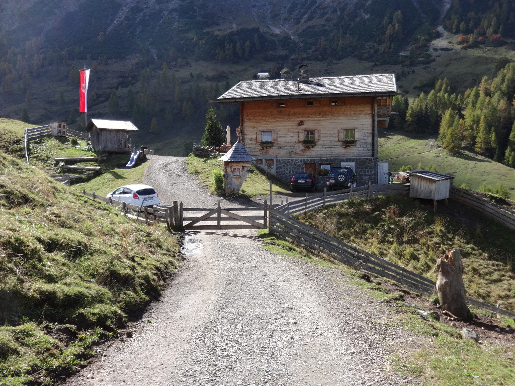
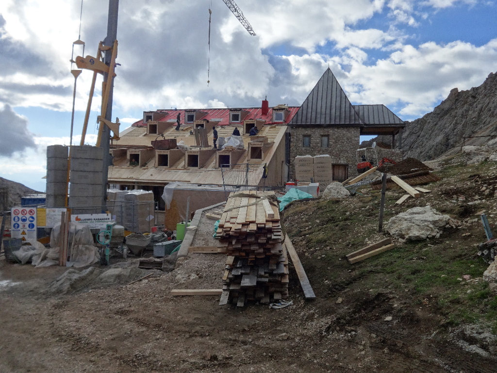
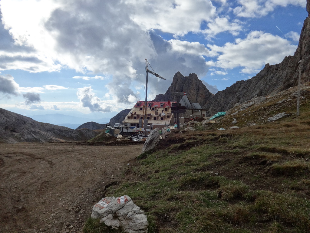
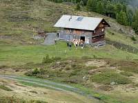
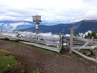
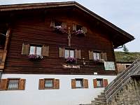
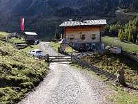
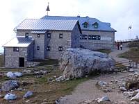
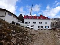
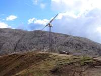
The rifugio was undergoing serious renovation.
2014:10:02 15:38:45
|
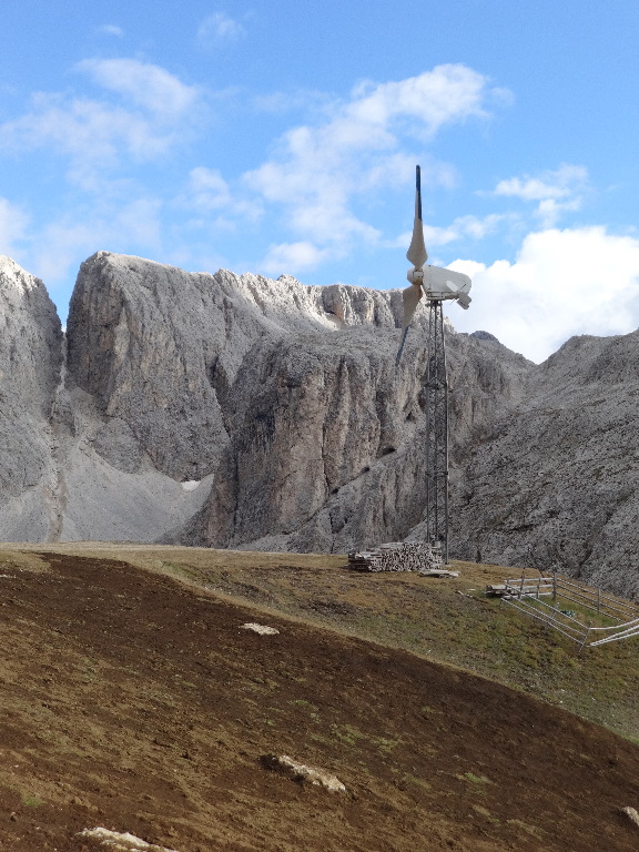
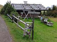
I appreciated the pile of firewood at the base of the windmill. Hmmm. Wood-powered windmill!
2014:10:02 15:39:04
|
2014:10:02 15:40:12
|
2014:10:02 15:40:18
|
2014:10:02 15:40:24
|
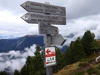
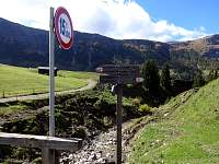
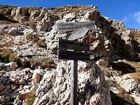
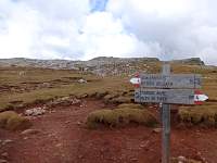
Leaving the rifugio, it was already approaching 4:45. The sign estimated about an hour and 45 minutes to reach my closes-at-6-PM lift.
2014:10:02 15:40:30
|
2014:10:02 15:46:30
|

2014:10:02 15:46:41
|
2014:10:02 15:46:49
|
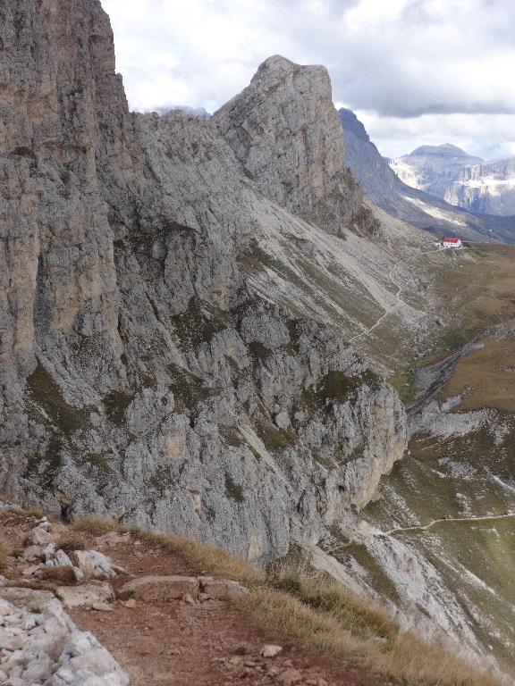
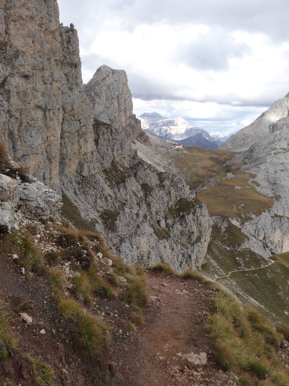
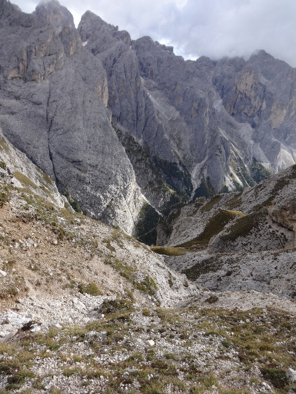
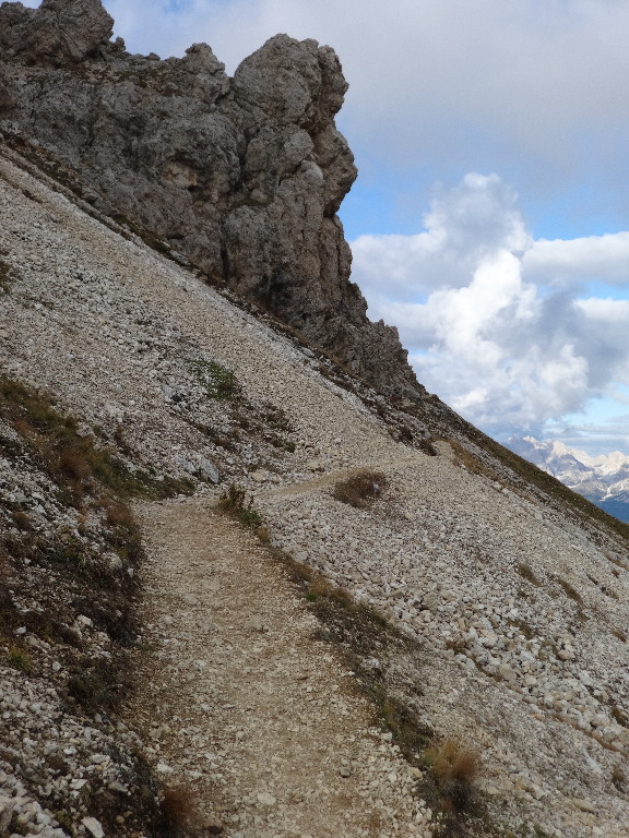
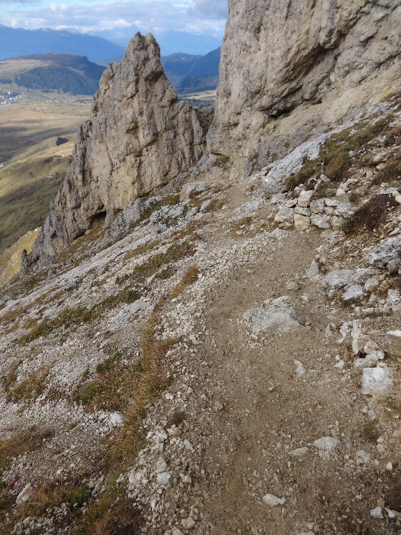
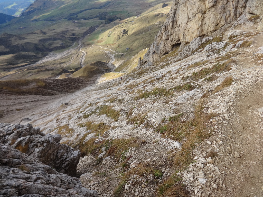
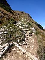
Unfortunately, the most direct route back to the lift led up and over a pass, with a steep, switchbacked, and often exposed descent on the other side.
2014:10:02 15:49:37
|
2014:10:02 15:51:58
|
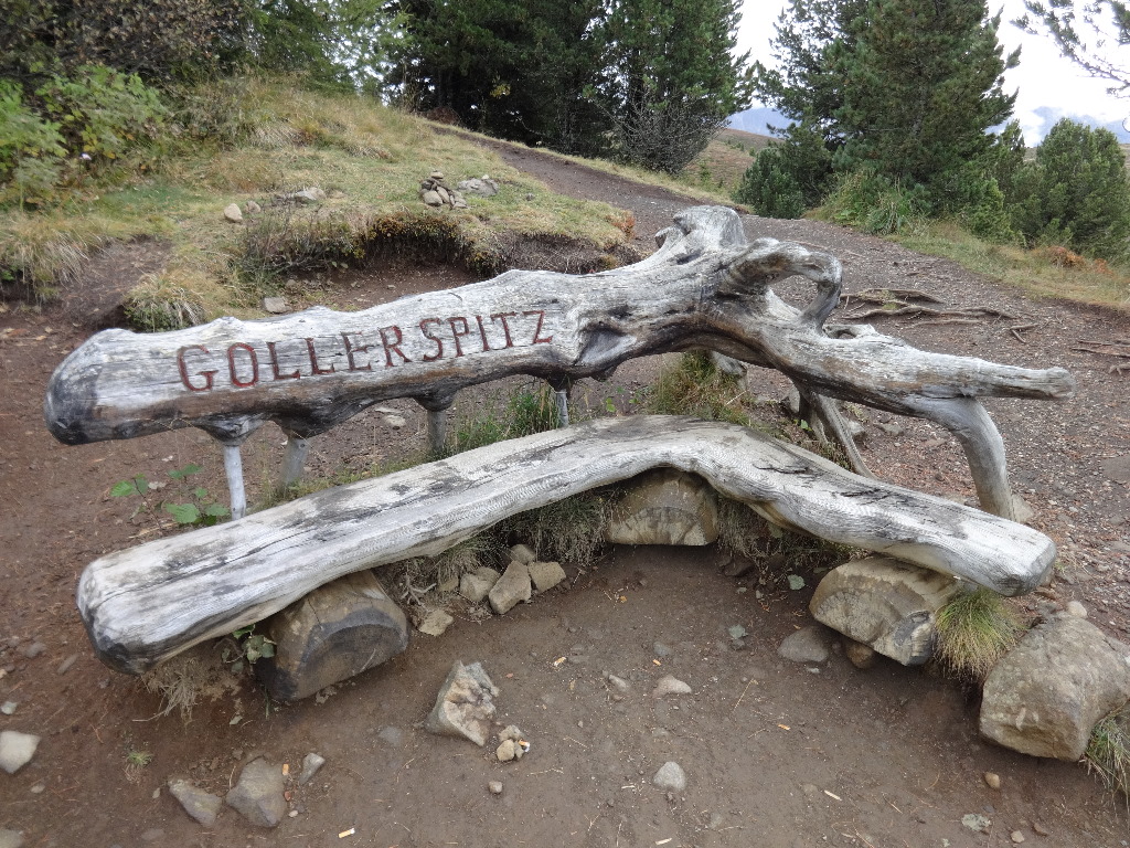
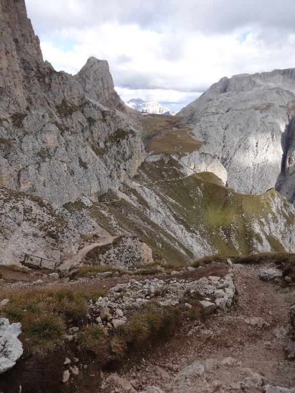
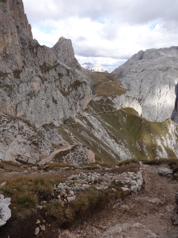
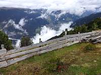
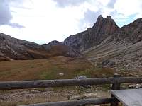
After passing this cool bench in the pass, I hastened, as best I could, down the stiff descent.
2014:10:02 15:52:04
|
2014:10:02 15:52:09
|
2014:10:02 15:53:21
|

2014:10:02 15:53:27
|
2014:10:02 16:15:57
|
2014:10:02 16:16:06
|
2014:10:02 17:11:45
|
Despite my best pace, and 'running' the last mile with my pack, I missed the lift. Fortunately, there was a bus, after a 40 minute wait...
2014:10:02 17:11:55
|
2014:10:02 17:12:26
|
|
|