October 7 – Train from La Spezia, IT to Tende, FR.
|
2014:10:07 18:37:09
|
I was due in Nice on Friday, but it was Tuesday. I thought that I would travel to Nice, where I would use its information resources to plan and embark on a hiking adventure somewhere in the Maritime Alps, the section of the Alps that extends south along the French/Italian border to the Mediterranean.
2014:10:07 18:37:23
|
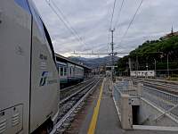
But after leaving La Spezia, near the Cinque Terre, on the 10:42 AM train, I got as far Ventimiglia on the Italian/French border, at about 3:10 PM. Ordinarily, there are trains from Ventimiglia to Nice frequently (every half hour?). But, on this particular day, there was a rail strike in France, so only the 4:50 train would run the route.
2014:10:07 18:37:33
|

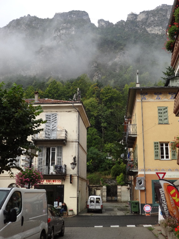
I'd been considering travel by train northward into the Roya valley. Preliminary on-line research had indicated hiking possibilities, though I wasn't sure of accommodation, food, etc., particularly given my late-season timing. It appeared, from my maps, that the town of Tende would be as far up-valley as I could get by rail. It turned out that there was a direct train from Ventimiglia to Tende, leaving at 6:40 PM. I decided to gamble on Tende and skip the intermediate info-compilation stop in Nice.
2014:10:07 18:37:51
|
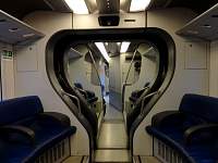
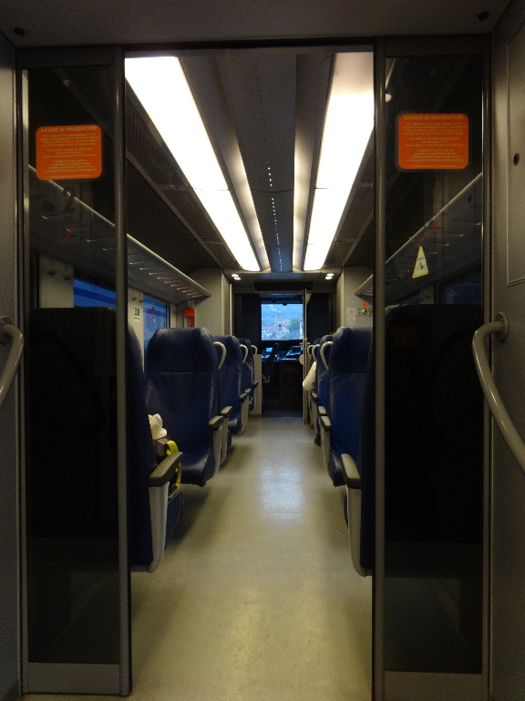
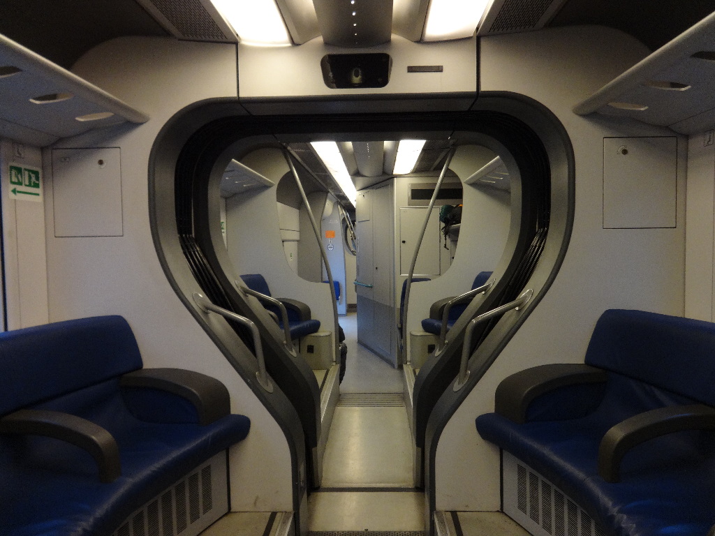
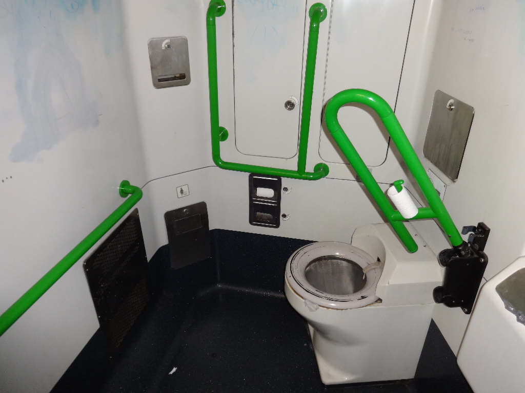
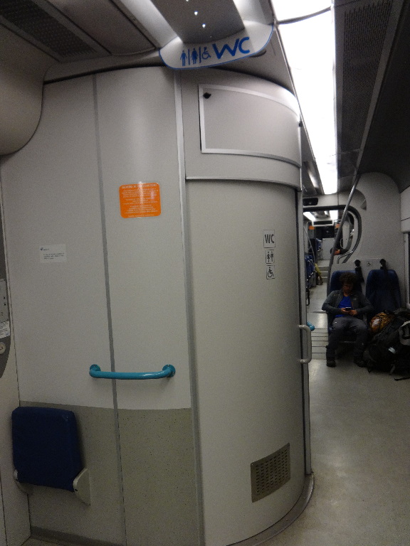
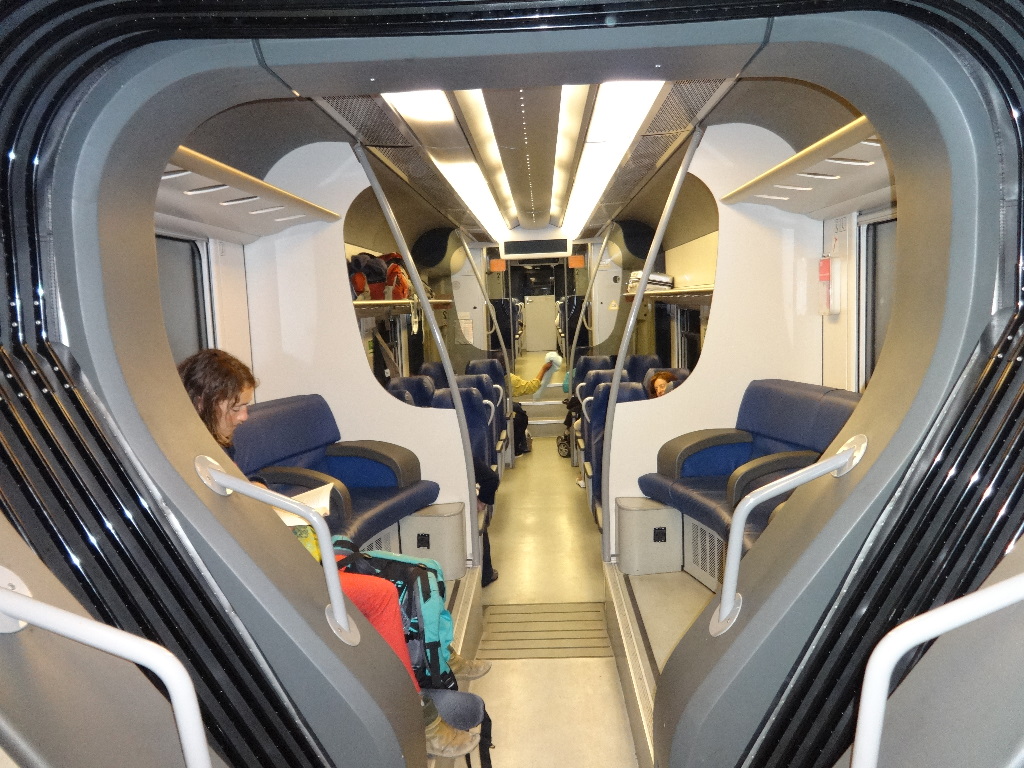
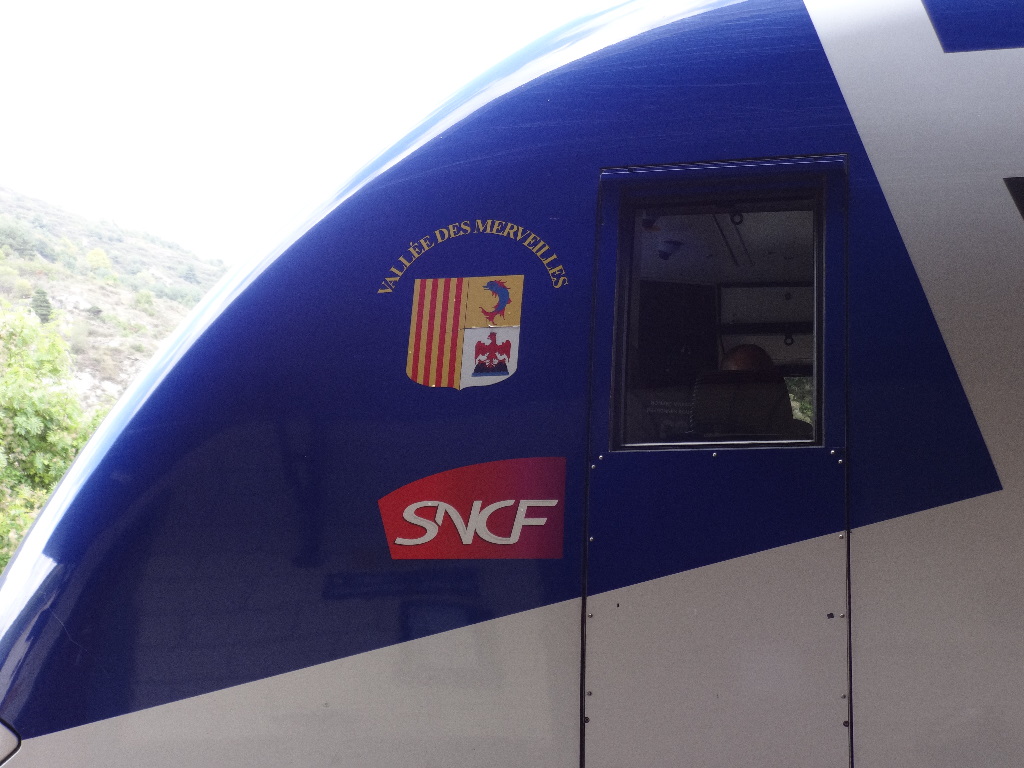
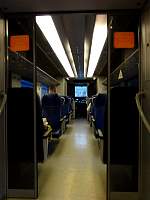
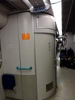
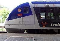
The train to Tende was quite modern.
2014:10:07 18:38:20
|
2014:10:07 19:21:49
|
2014:10:07 19:22:22
|

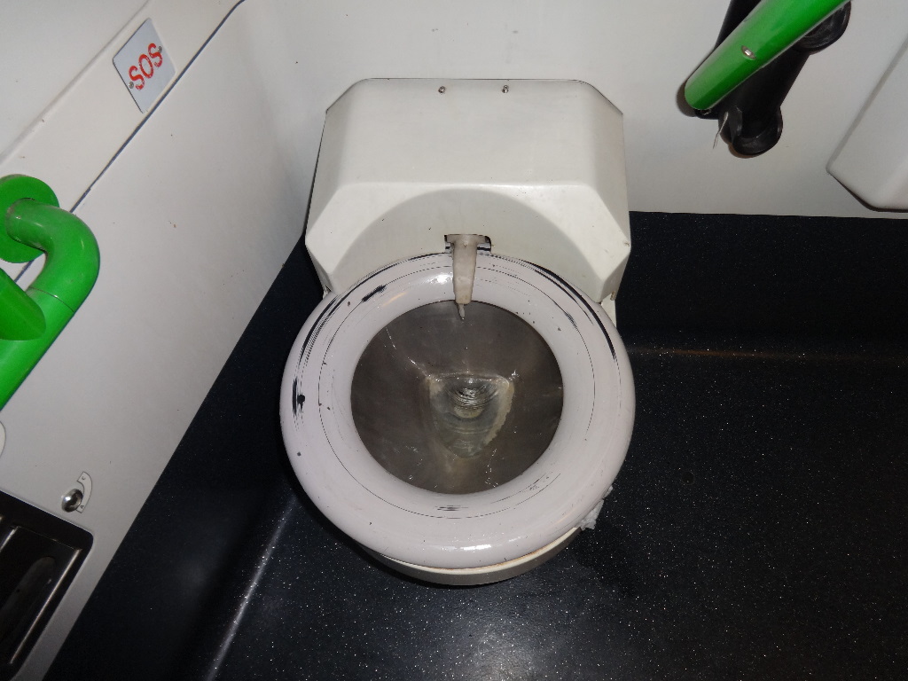
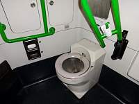
I tried to raise the toilet seat, but it was anchored in place. There was a button on the wall that rotated the toilet seat beneath a scraper to expunge any nasties from it. I have sometimes seen toilet-seat-cover dispensers in rest rooms, but this marked a new approach, in my experience. I encountered another new-to-me innovation on my return flight to the States. In the bathroom on the plane, a conveniently situated dispenser offered 'sanitary disinfecting toilet seat wipes'.
2014:10:07 19:22:32
|

2014:10:07 19:22:44
|

2014:10:07 19:23:04
|

2014:10:07 19:28:42
|
2014:10:07 19:29:03
|

2014:10:07 19:29:21
|
|
|
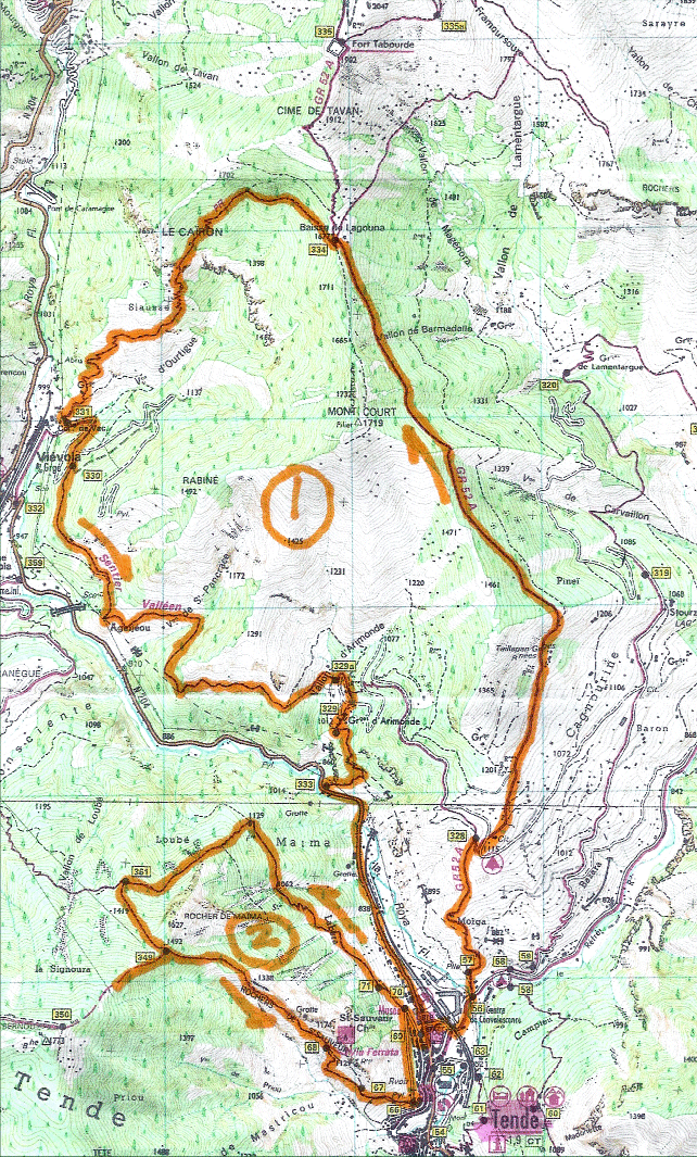
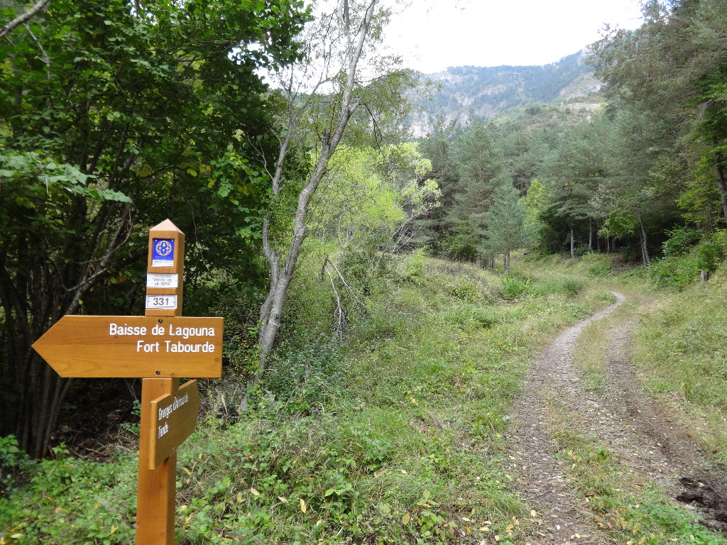
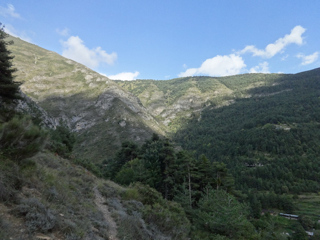
October 8 – Hike from Tende toward Fort Tabor (Fort Tabourde), as far as Baisse de Lagouna Pass. Down to Vievola and back to Tende.
|
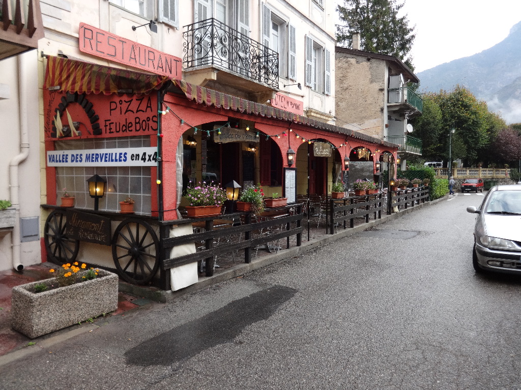
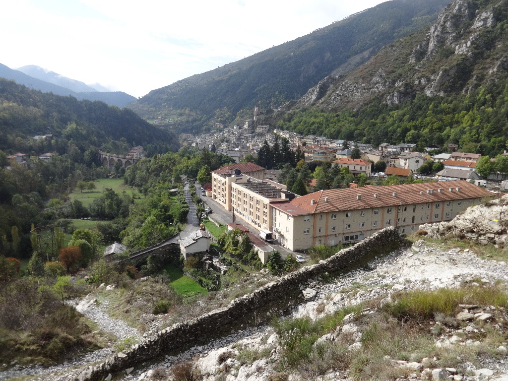
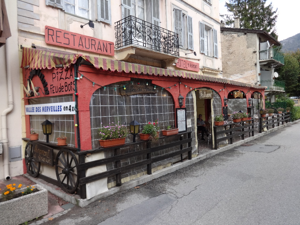
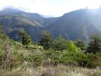
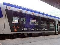
Tende is not far from the Vallķe des Merveilles, which is known for its scenery and historic petroglyphs from the Bronze Age. With my visit dates so far outside the main tourist season, visiting it would have required a creative transport solution. I opted for local hikes from the village of Tende instead.
|
|
|
2014:10:08 09:13:15
|
2014:10:08 09:14:48
|
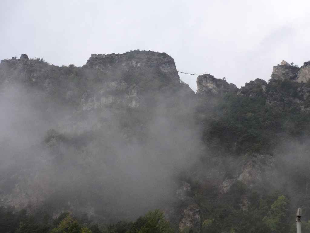
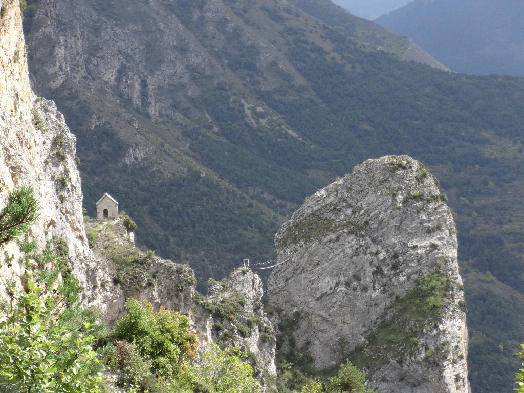
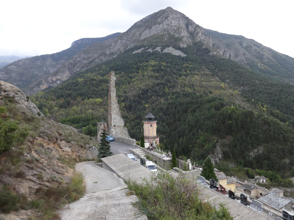
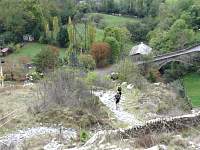
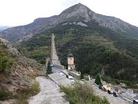
High above Tende, there was a small chapel perched near a terrifying-looking suspended bridge.
2014:10:08 09:15:01
|
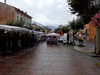
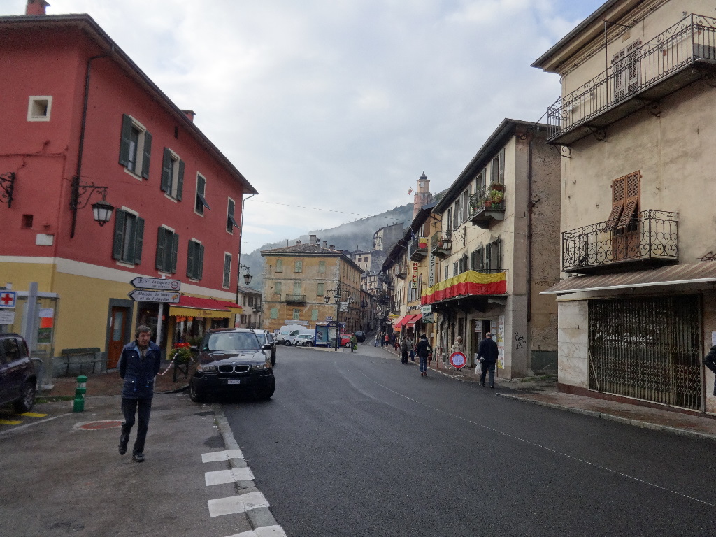
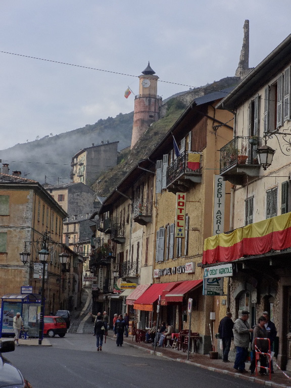
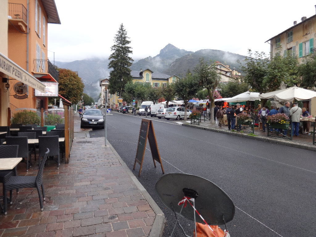
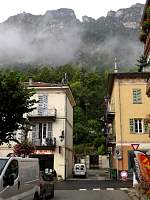
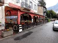
Wednesday was market day in Tende.
2014:10:08 09:32:42
|
2014:10:08 09:42:01
|
During my brief exploration, I purchased a 1:25,000-scale walking map of the local area. Thus equipped, I considered local hike options.
2014:10:08 09:42:17
|
2014:10:08 10:13:01
|
2014:10:08 10:16:07
|
2014:10:08 11:16:12
|
2014:10:08 11:16:17
|
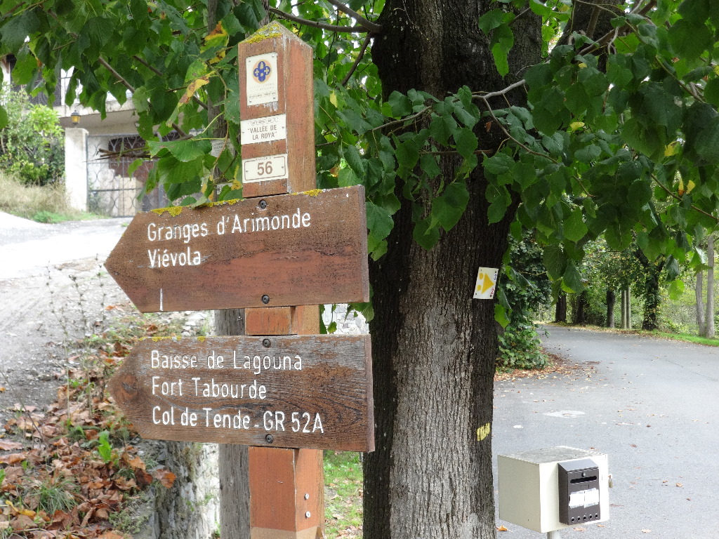
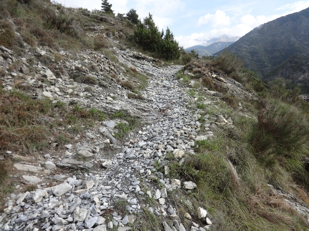
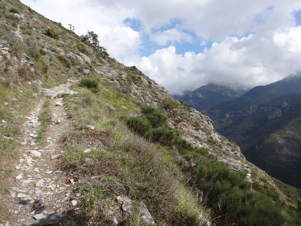
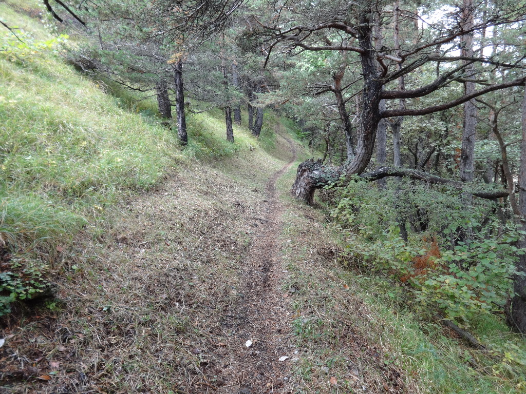
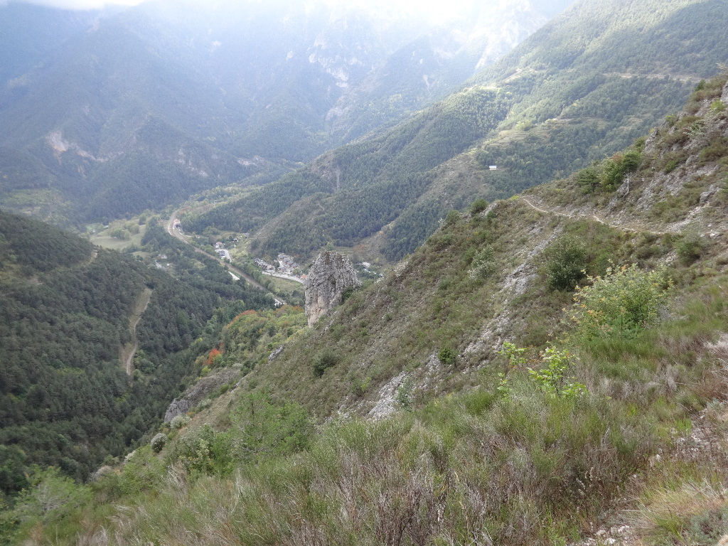
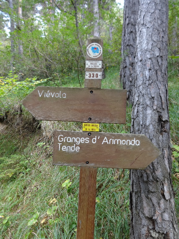
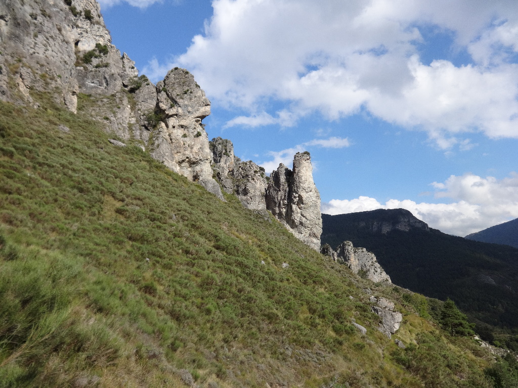
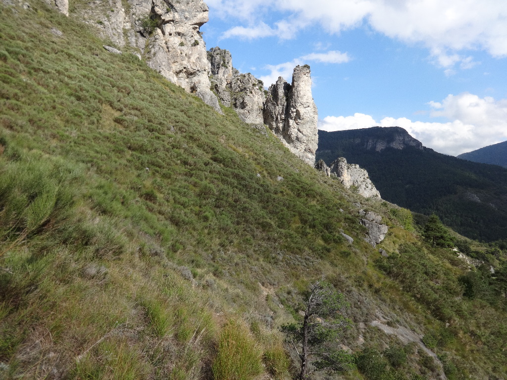
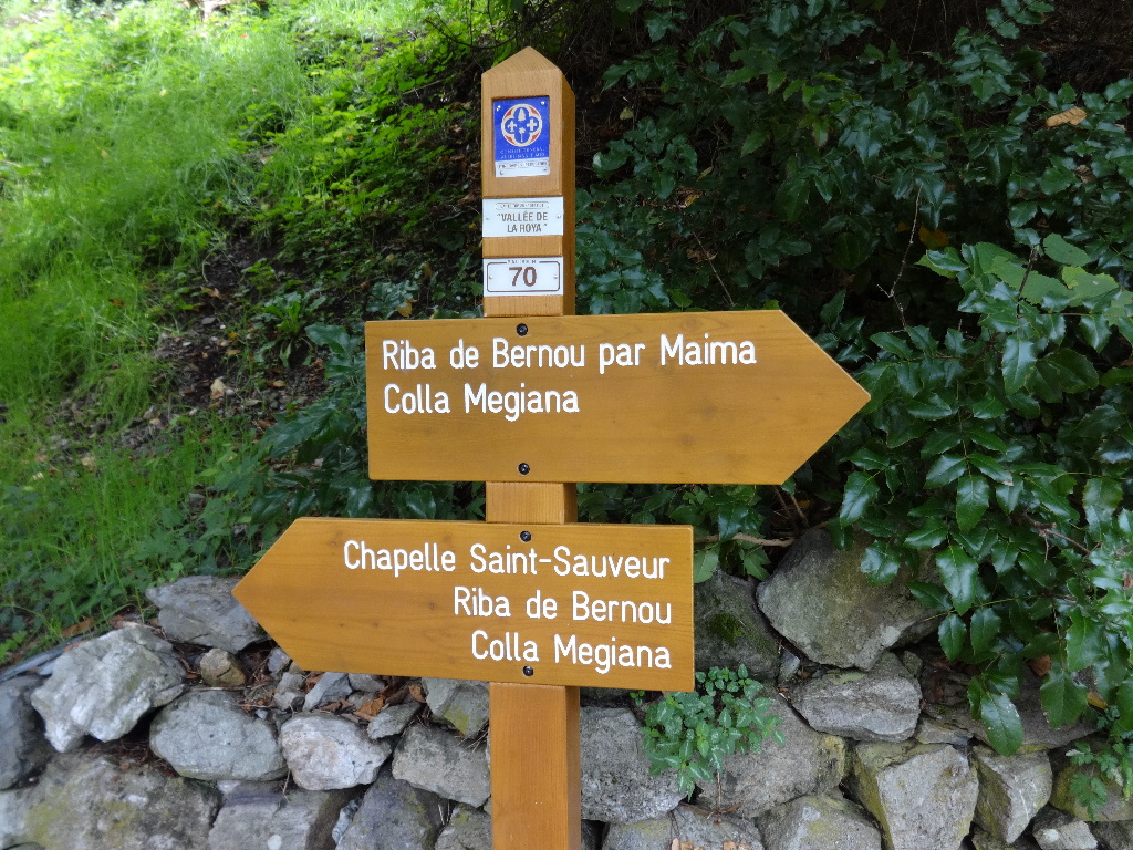
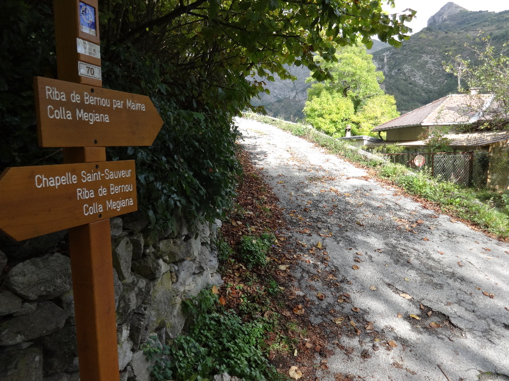
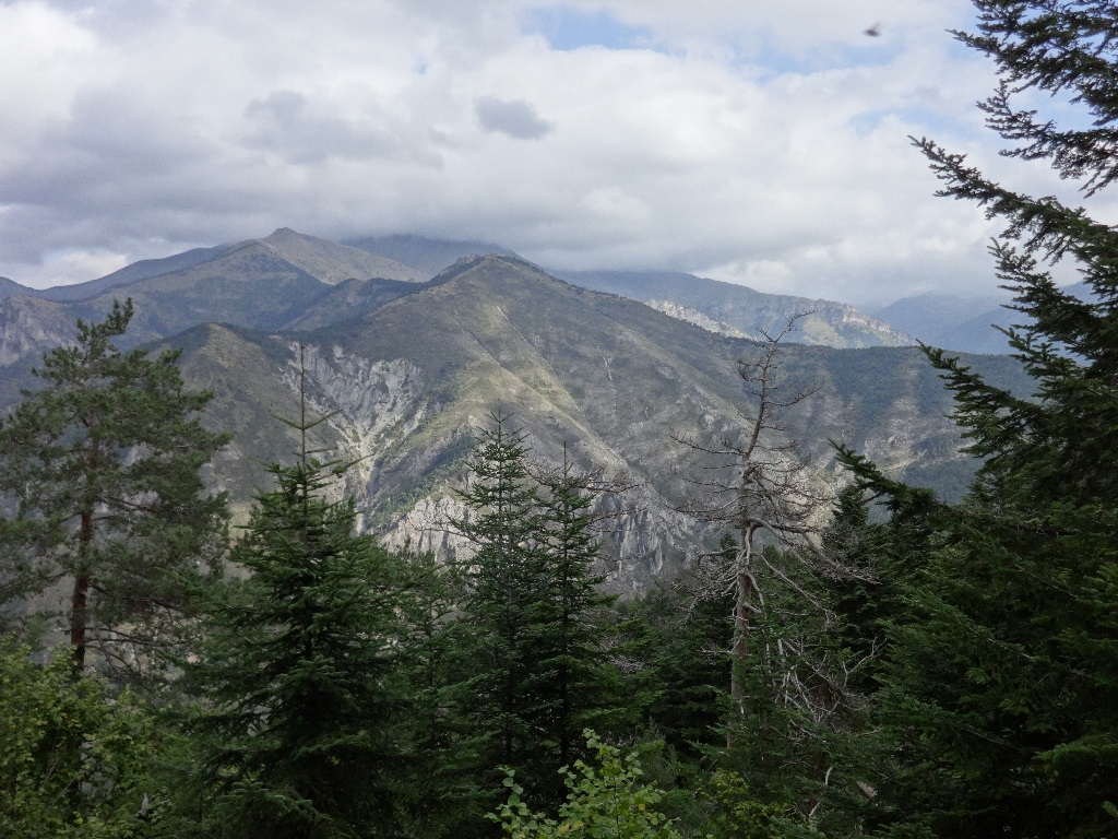
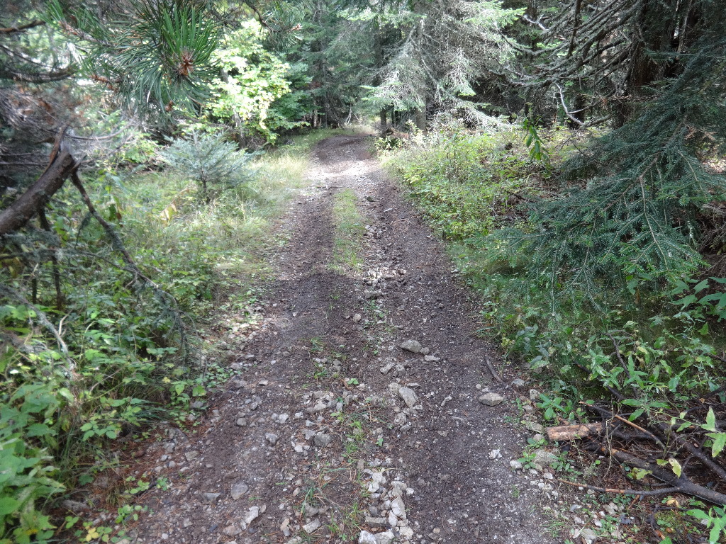
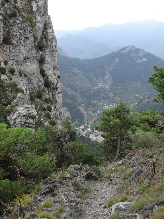
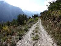
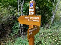
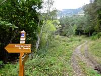
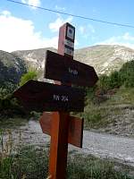
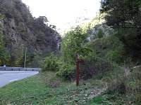
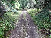
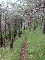
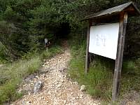
After a 5– or 10–minute walk to the edge of town, I started upward on trail 52A.
2014:10:08 11:20:08
|

2014:10:08 11:25:21
|
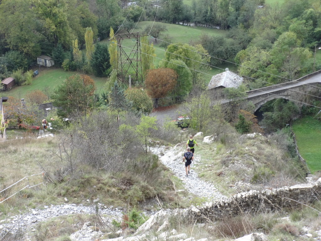
Just starting out, myself, I was passed by a pair of trail runners.
2014:10:08 11:26:47
|
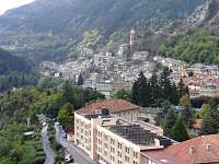
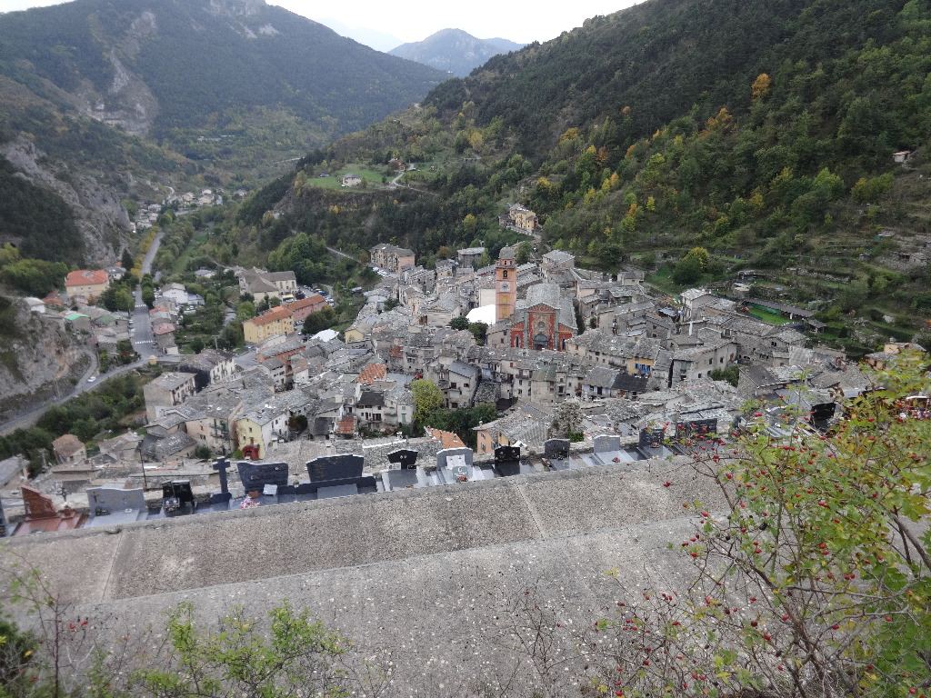
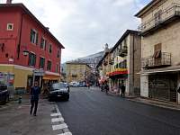
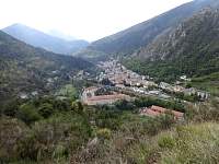
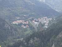
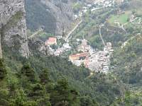
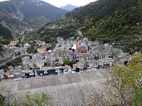
Looking back at the town of Tende, France.
2014:10:08 11:26:53
|
2014:10:08 11:27:34
|
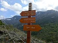
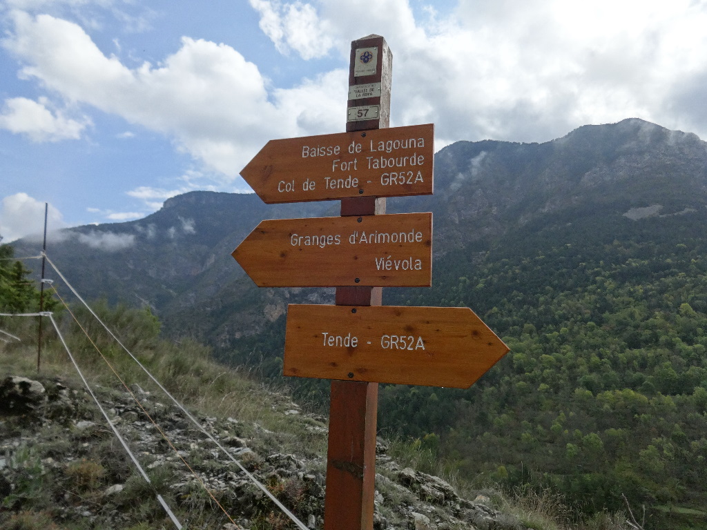
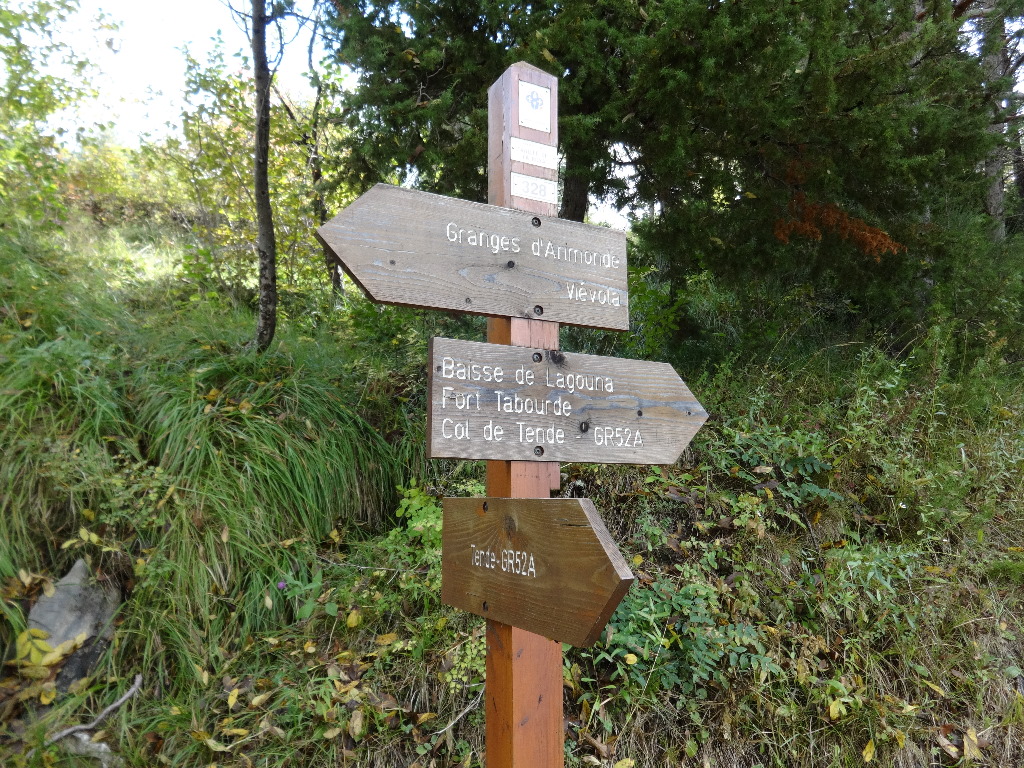
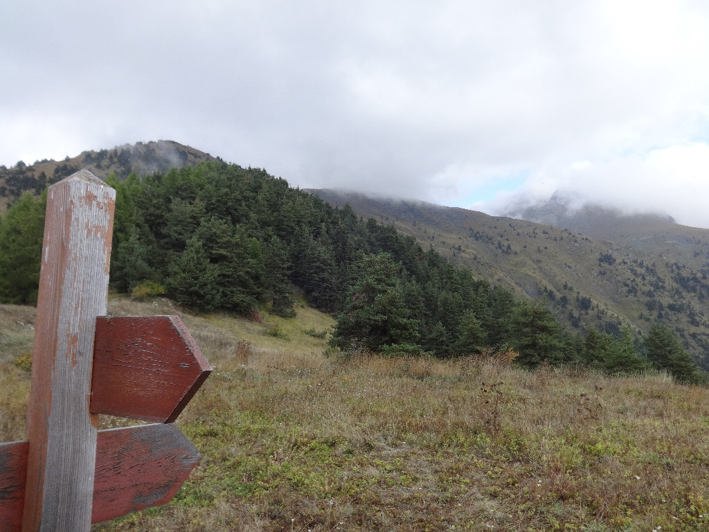
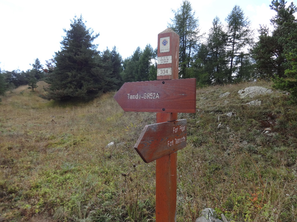
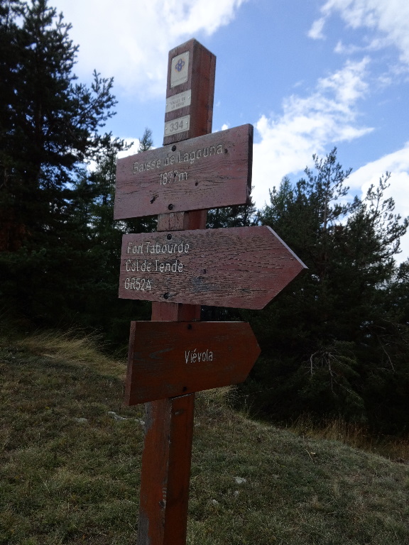
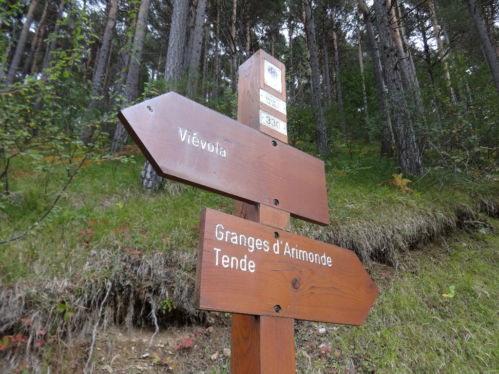
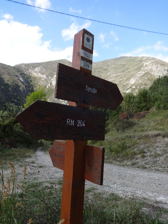
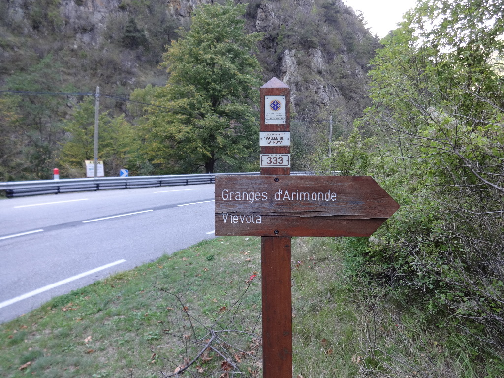
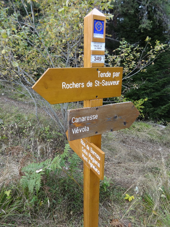
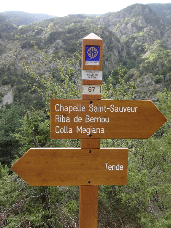
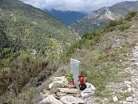
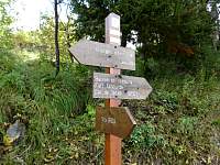
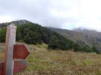
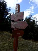
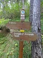
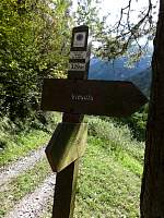
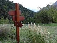
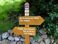
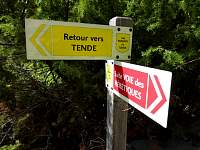
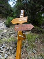
In Italy, generally the trails had been numbered. The numbers on the ground did not always agree with the numbers on the map, but usually there were signs that clarified adequately... In France, the trails seemed generally NOT to be numbered. But specific point locations were. This point, designated '57' corresponded to a labelled point '57' on my map.
2014:10:08 11:29:18
|
2014:10:08 11:37:41
|
2014:10:08 11:37:50
|
2014:10:08 11:40:09
|
2014:10:08 11:52:45
|
2014:10:08 12:11:36
|
2014:10:08 12:11:43
|
2014:10:08 12:20:40
|
2014:10:08 12:20:51
|
2014:10:08 12:26:40
|
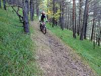
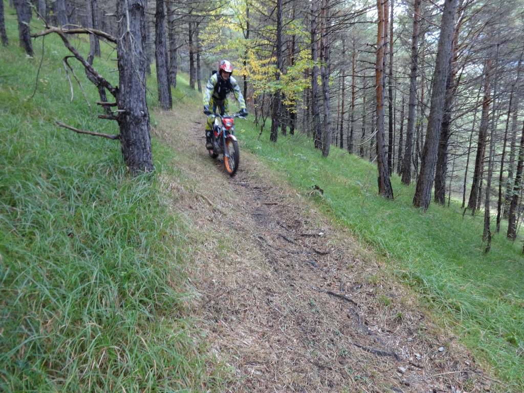
I'd seen no one for an hour, then this motorbiker appeared, followed by four more.
2014:10:08 12:31:13
|
2014:10:08 12:50:45
|
2014:10:08 12:51:03
|
2014:10:08 12:54:35
|
2014:10:08 12:54:45
|

2014:10:08 12:54:54
|
2014:10:08 13:11:39
|
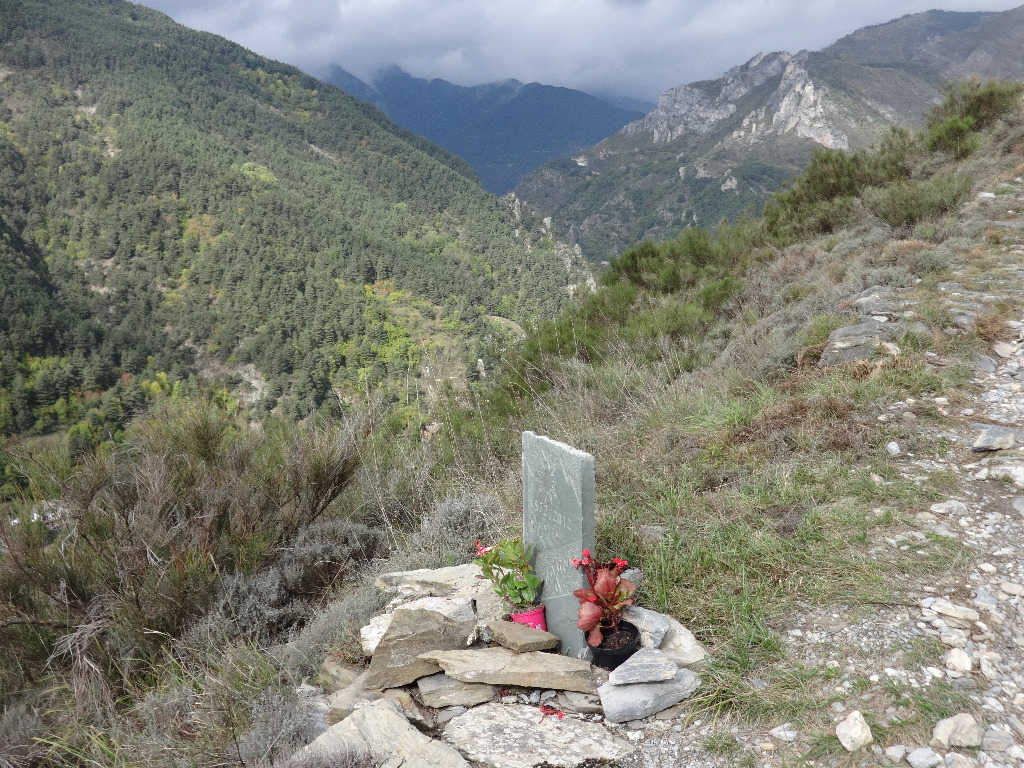
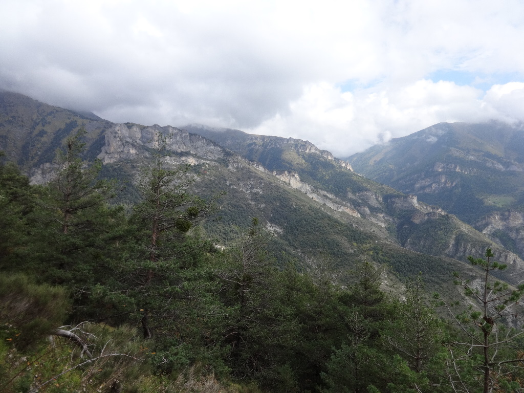
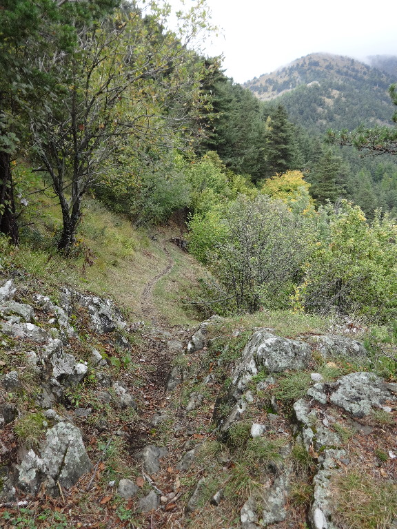
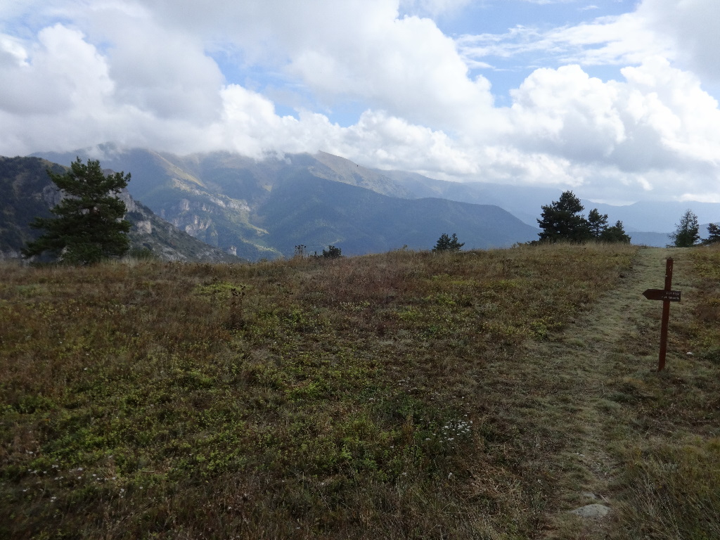
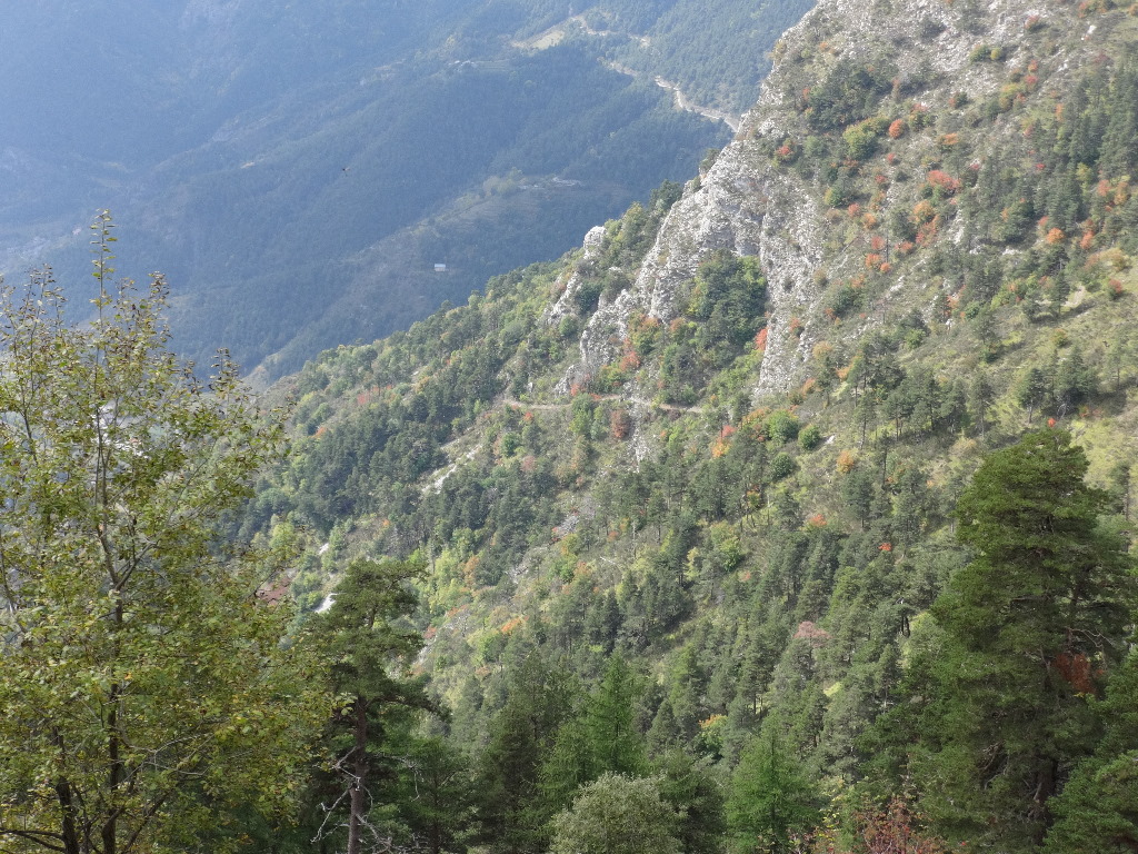
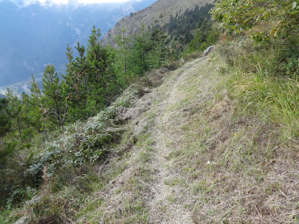
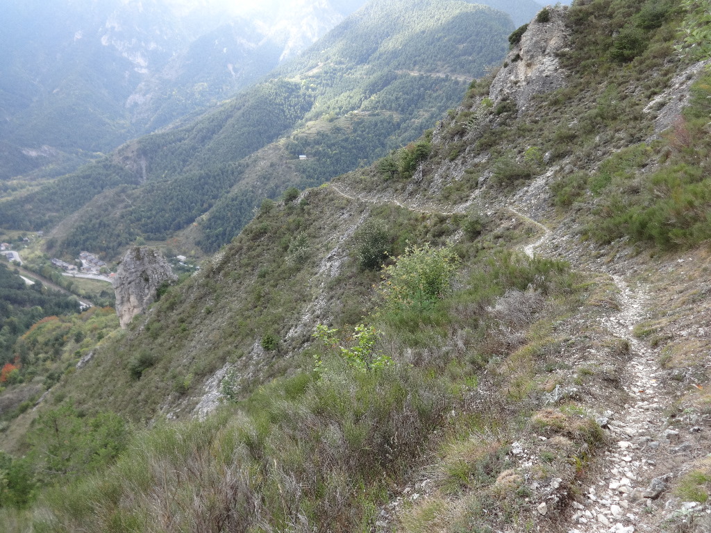
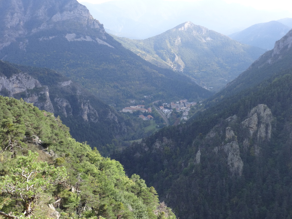
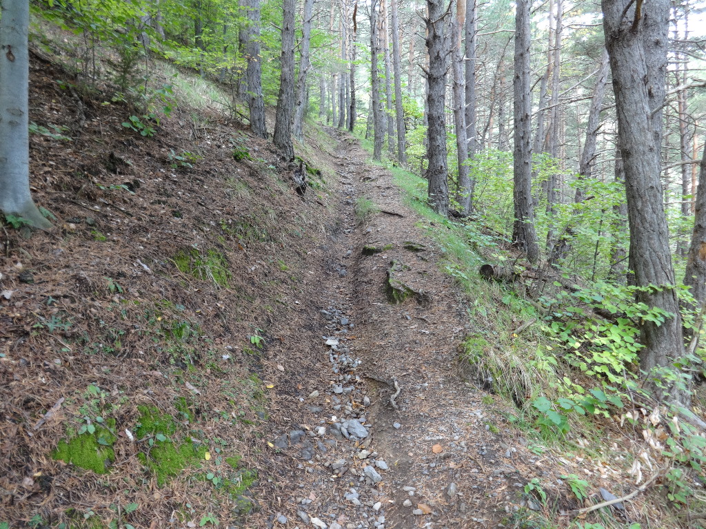
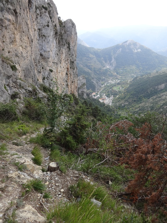
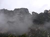
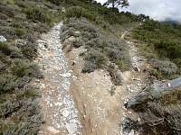
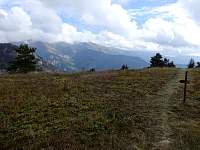
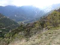
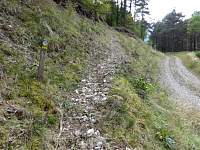
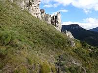
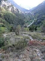
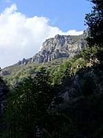
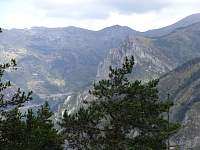
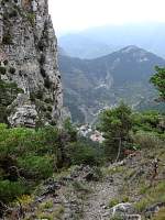
After two hours of steady ascent, it looked like the route ahead continued upward into clouds. I chose to descend toward Tende by a different route than I had ascended.
2014:10:08 13:21:01
|

2014:10:08 13:21:11
|
2014:10:08 13:21:29
|
2014:10:08 13:21:39
|
2014:10:08 13:27:05
|
2014:10:08 13:28:59
|

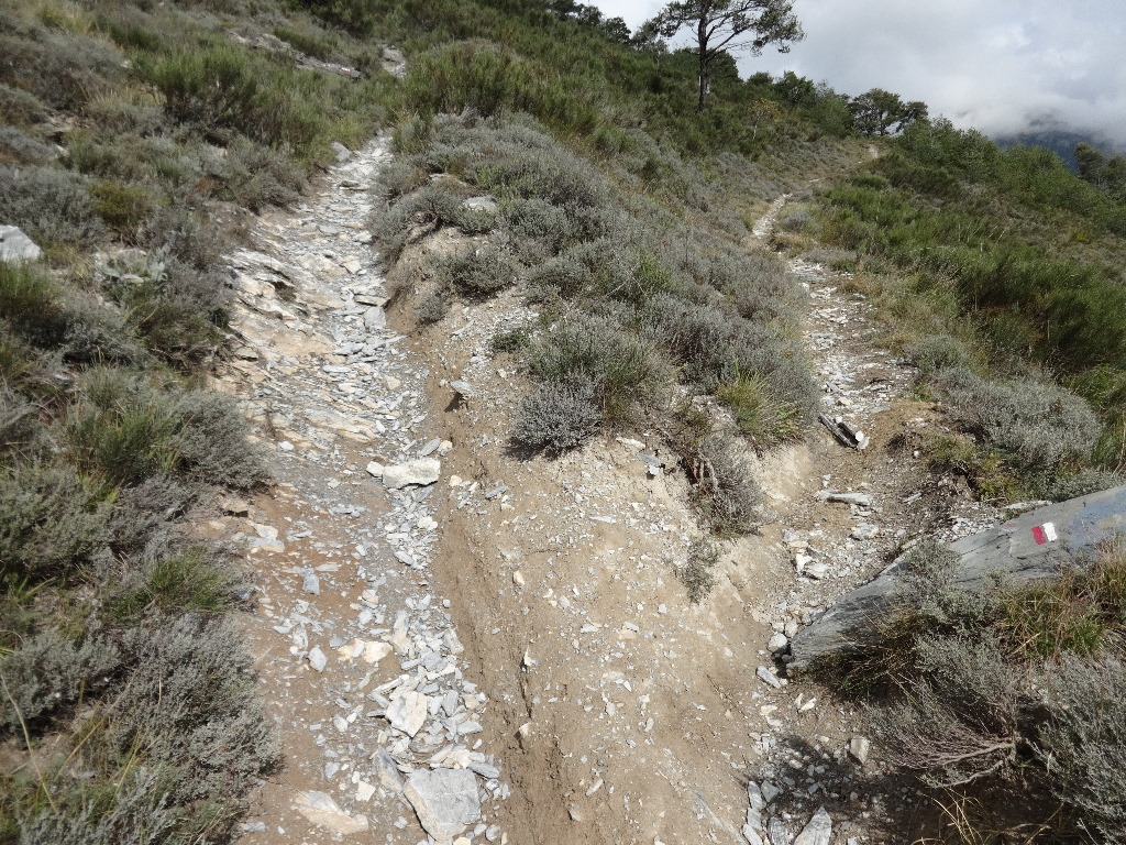
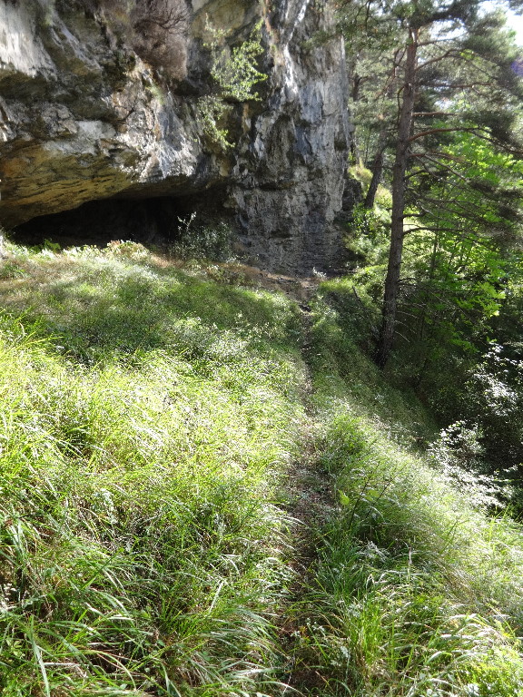
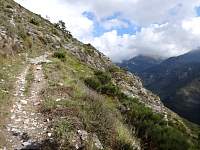
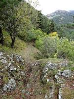
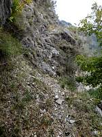
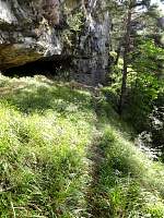
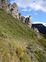
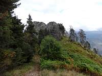
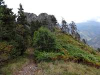
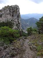
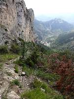
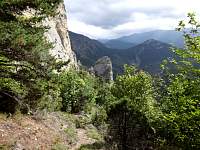
Looking at the narrow, exposed trail ahead, I wondered if I should reconsider my intended course.
2014:10:08 13:31:15
|

2014:10:08 13:37:31
|
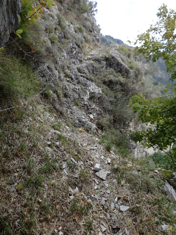
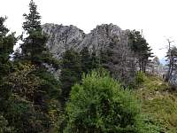
As it turned out, there was only one spot that was scary enough to warrant a safety cable.
2014:10:08 13:56:41
|
2014:10:08 14:12:15
|
2014:10:08 14:15:42
|

2014:10:08 14:15:47
|
2014:10:08 14:38:11
|
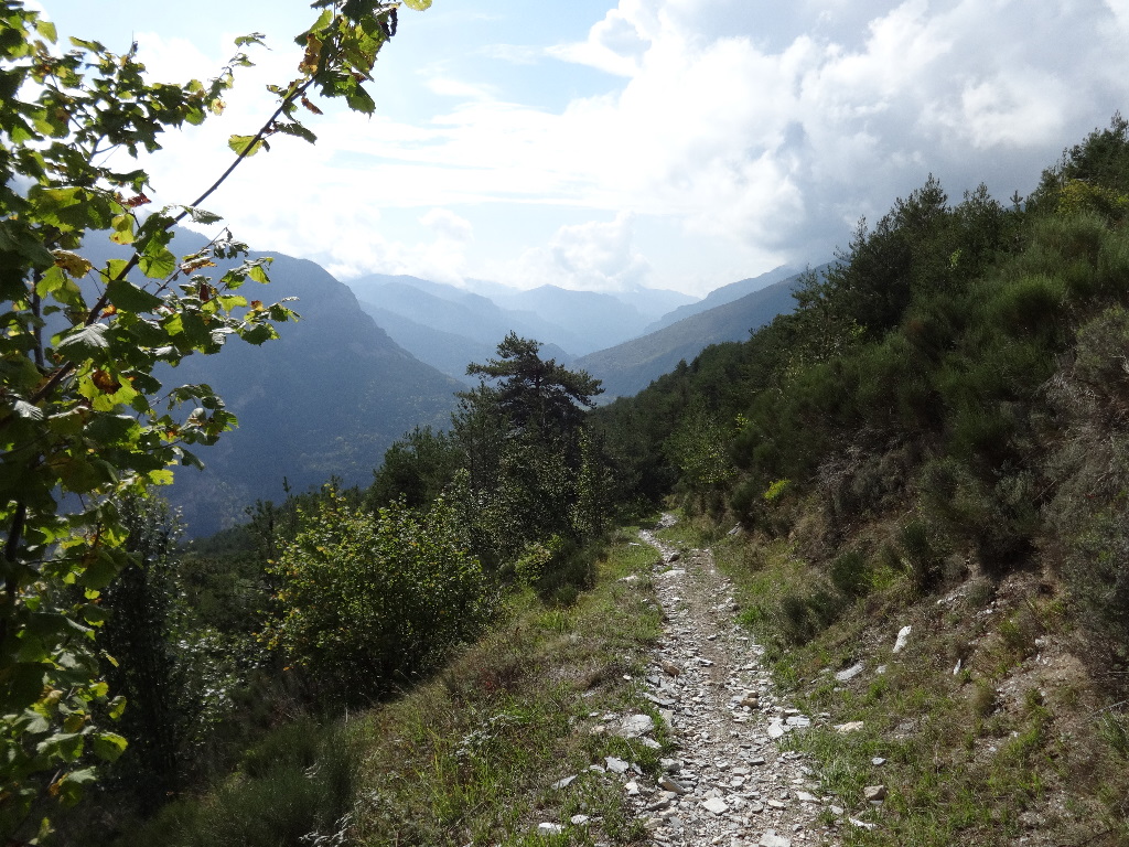
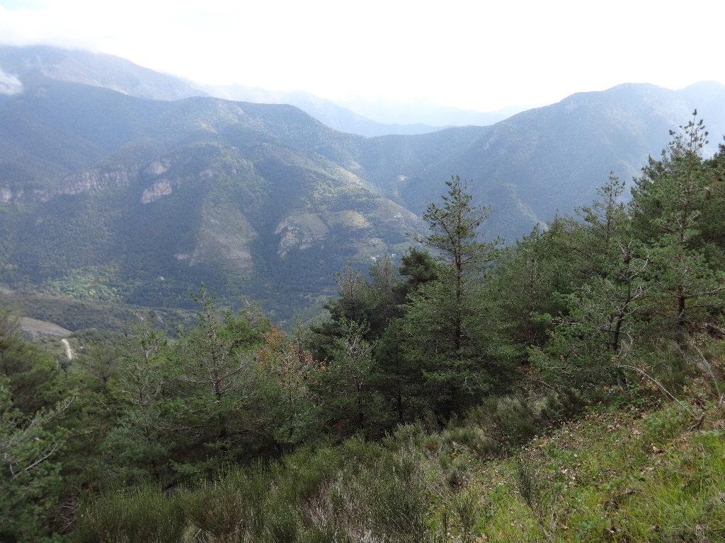
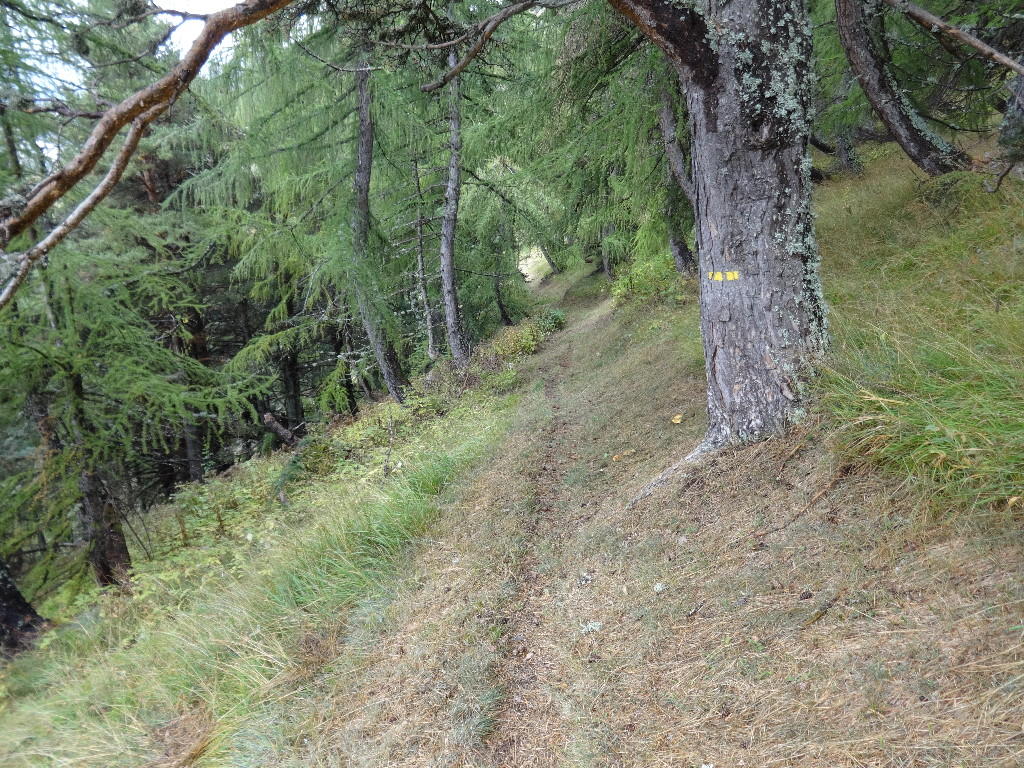
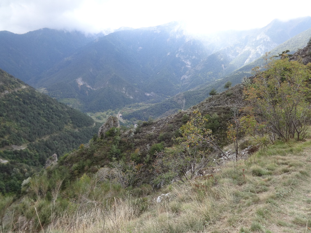
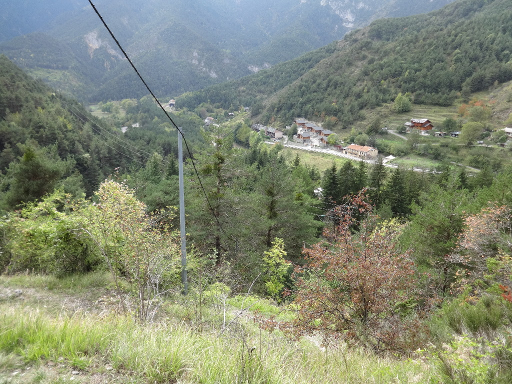
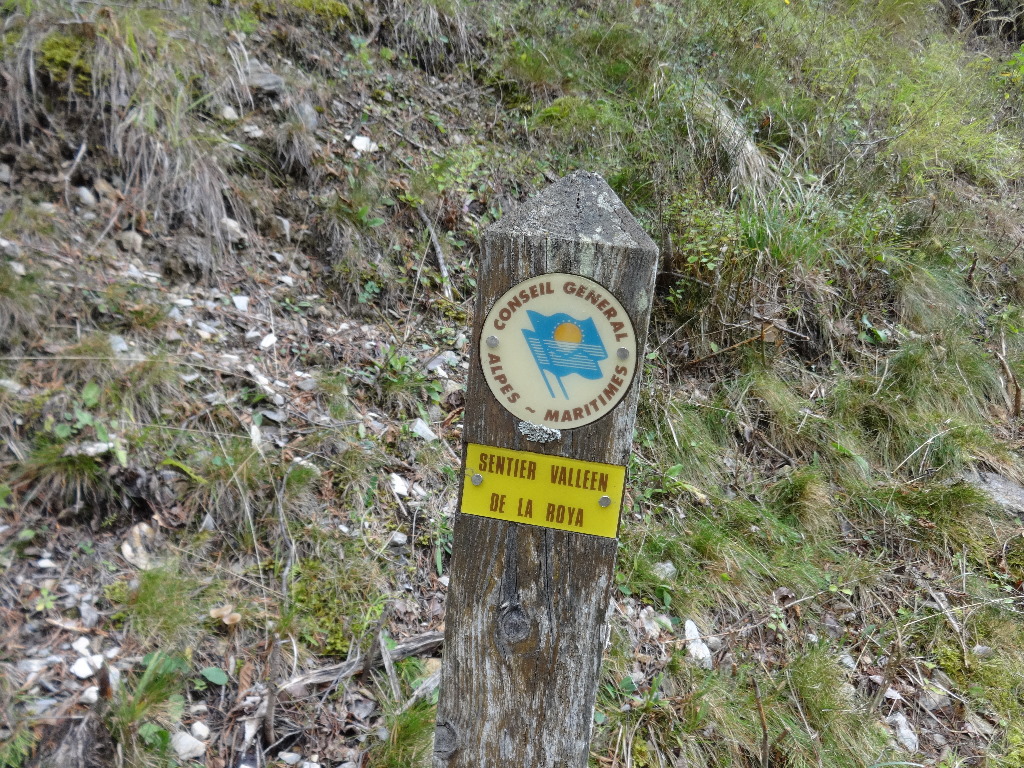
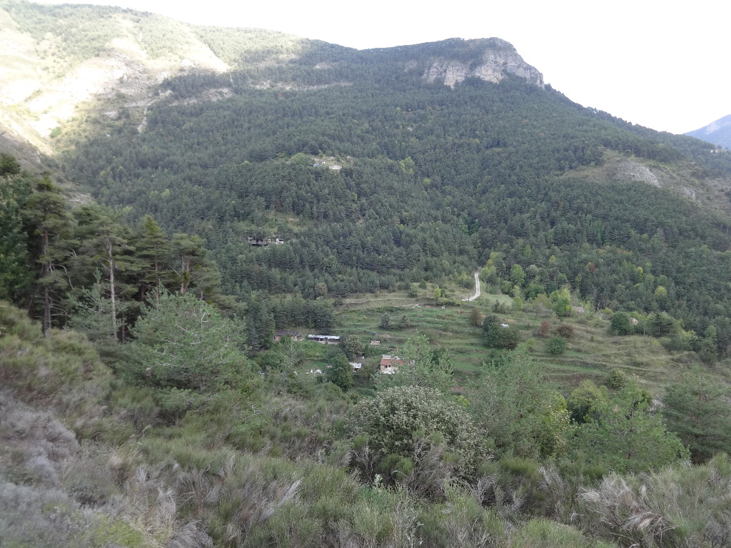
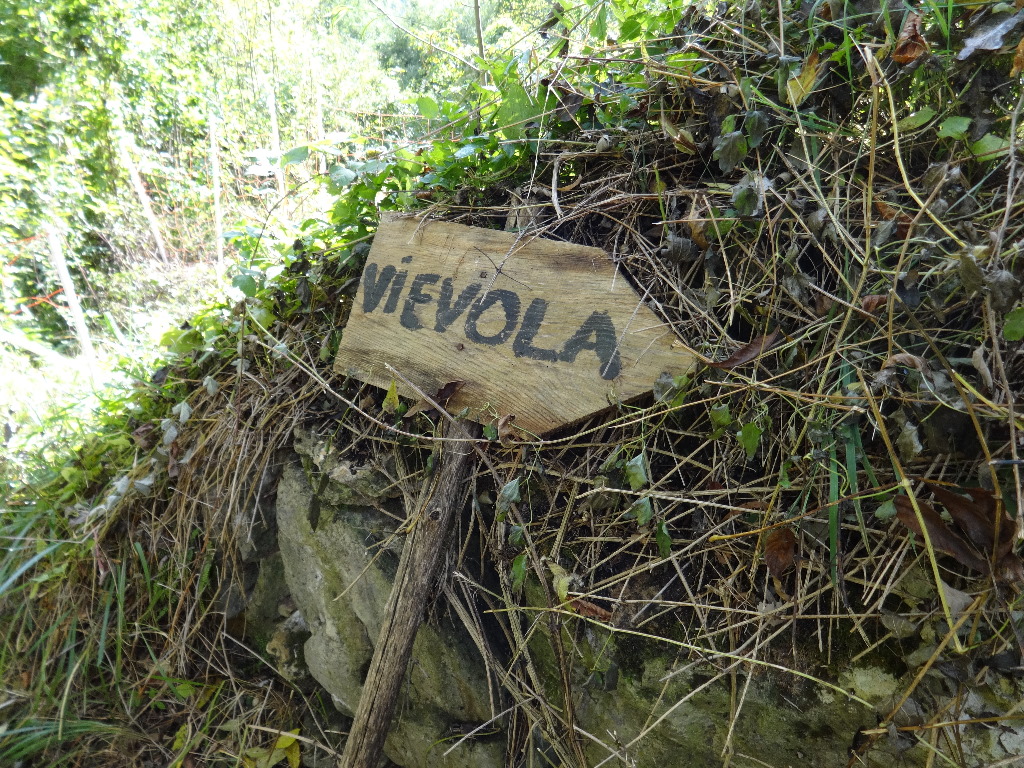
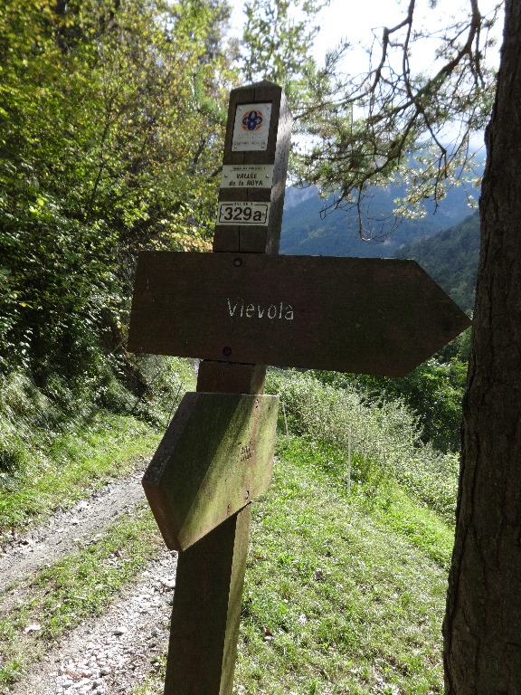
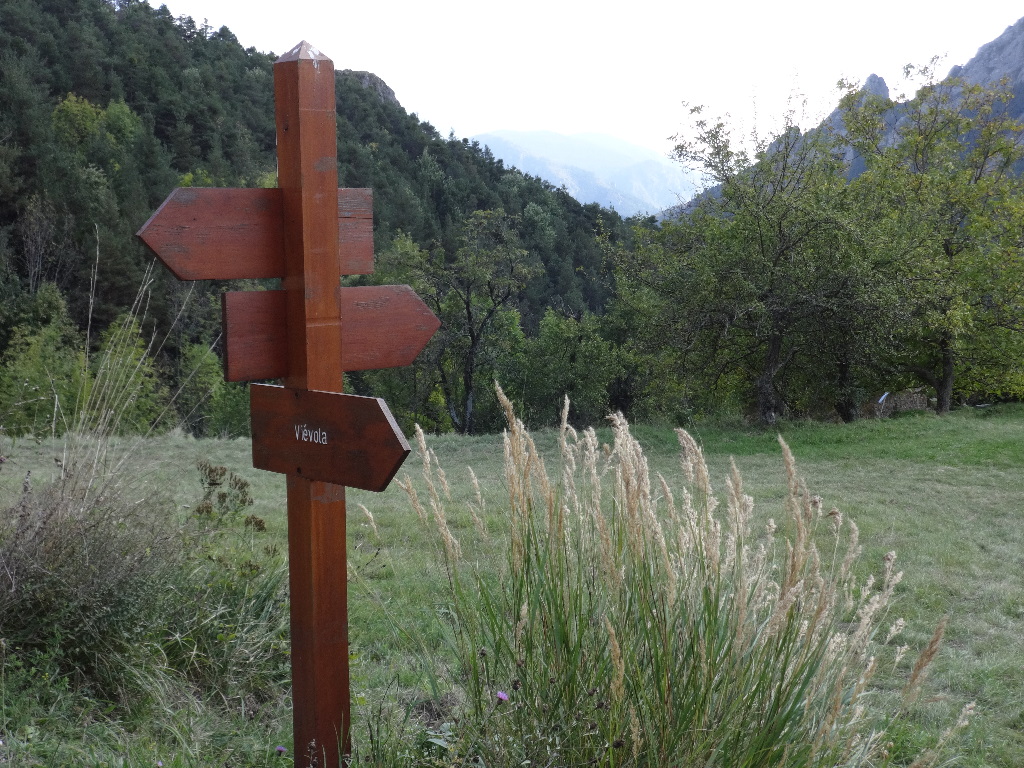
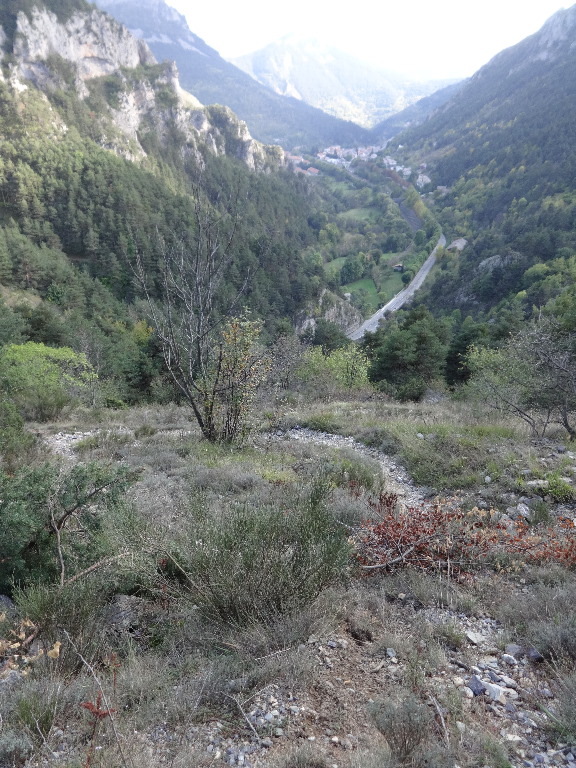
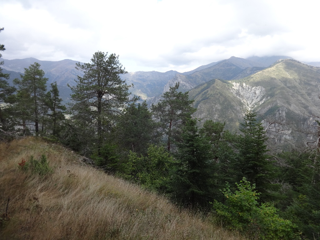
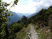
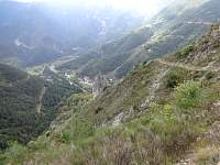
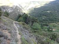
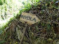
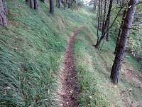
I reached a hollow just above the village of Vievola. From this point, I would walk the valley wall trail, the 'Sentier Vallķen' toward Tende.
2014:10:08 14:44:05
|
2014:10:08 14:44:17
|

2014:10:08 14:50:24
|
2014:10:08 14:50:40
|

2014:10:08 14:56:03
|
2014:10:08 14:56:43
|
2014:10:08 14:59:36
|
2014:10:08 14:59:57
|
2014:10:08 15:27:44
|
2014:10:08 15:34:46
|
2014:10:08 15:37:00
|
2014:10:08 15:37:15
|

2014:10:08 15:37:19
|
2014:10:08 15:37:25
|
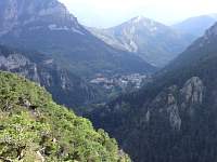
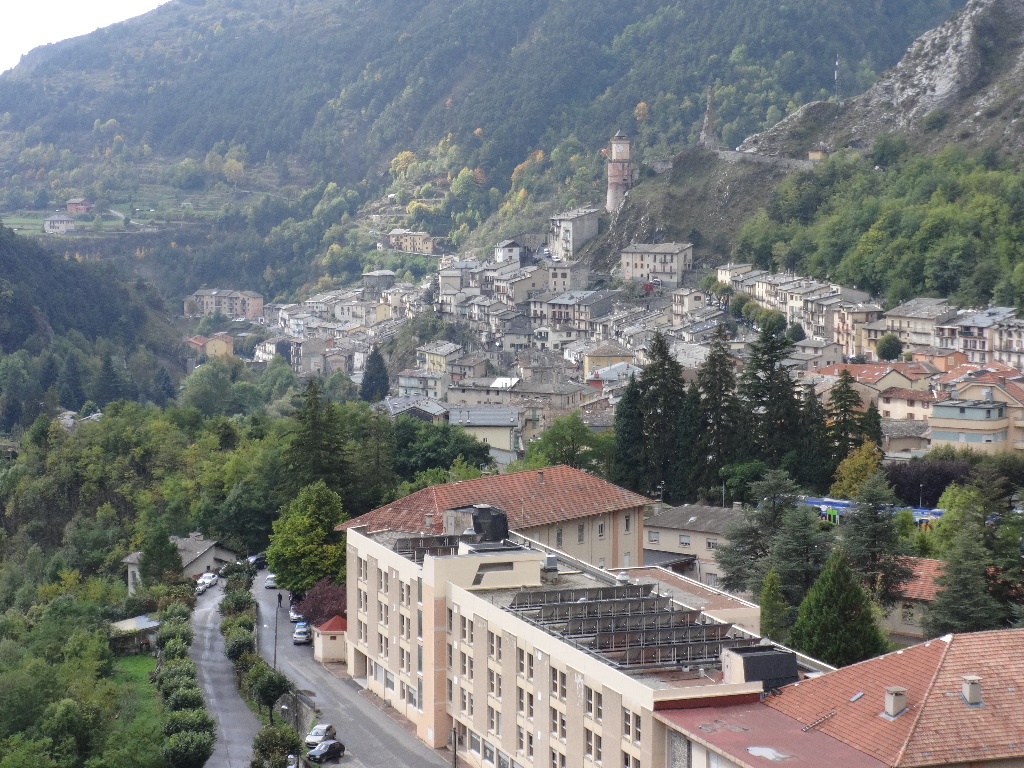
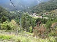
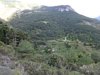
Tende didn't look so far away, but...
2014:10:08 15:43:56
|
2014:10:08 15:44:04
|
2014:10:08 15:48:06
|

2014:10:08 15:48:14
|
2014:10:08 15:48:29
|
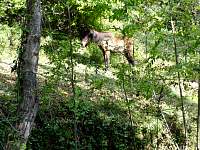
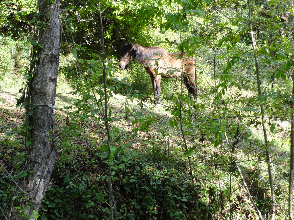
Hiking downward through the woods, I was surprised to encounter a horse. Its presence suggested that I was approaching a small hamlet of civilization and my trail junction.
2014:10:08 15:58:55
|
2014:10:08 15:59:49
|
2014:10:08 16:00:34
|
2014:10:08 16:05:30
|
2014:10:08 16:05:41
|
2014:10:08 16:06:00
|
2014:10:08 16:12:33
|
2014:10:08 16:14:33
|
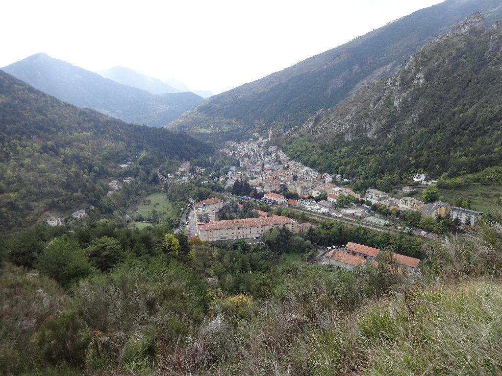
A bit over 5 hours since setting out, I reached the road for a 20-minute walk back to Tende.
2014:10:08 16:27:34
|
2014:10:08 16:27:54
|
2014:10:08 16:28:06
|
2014:10:08 16:46:00
|
2014:10:09 10:39:20
|
2014:10:09 10:39:32
|

2014:10:09 10:39:55
|
|
|
|
October 9 – Hike from Tende around Rocher de Maima. Train to Nice.
|
|
|

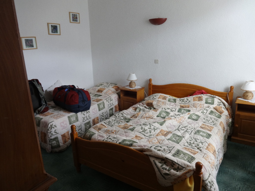
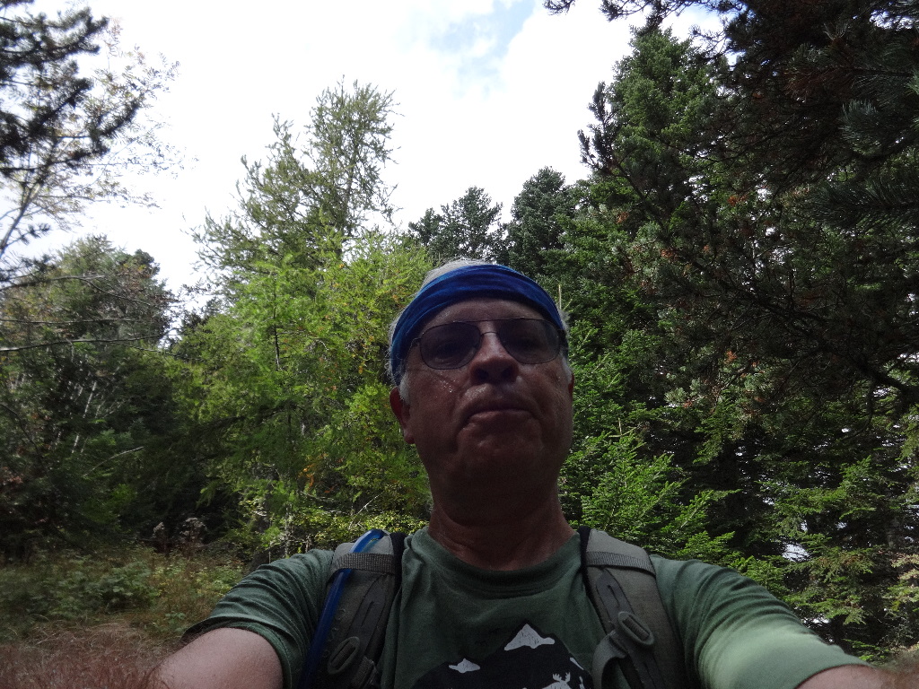
Leaving my luggage with the hotel clerk, I set out from my hotel for a short hike before I intended to catch a bus or train to Nice.
2014:10:09 10:43:39
|
2014:10:09 10:53:54
|
2014:10:09 10:54:16
|
2014:10:09 11:14:38
|
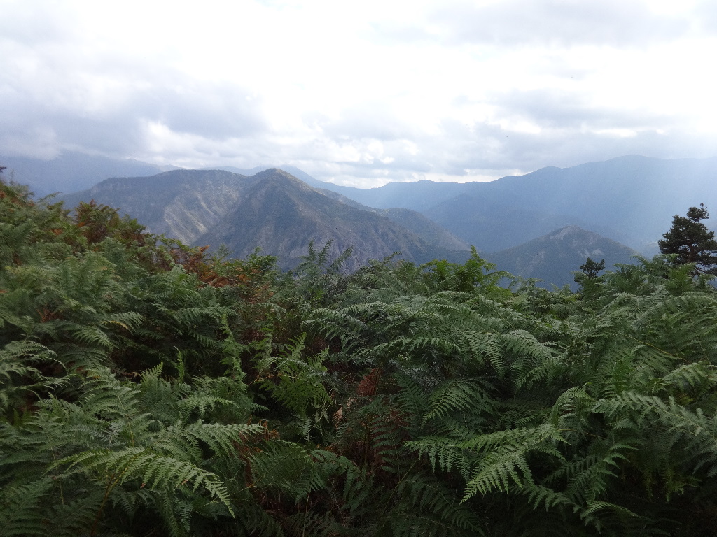
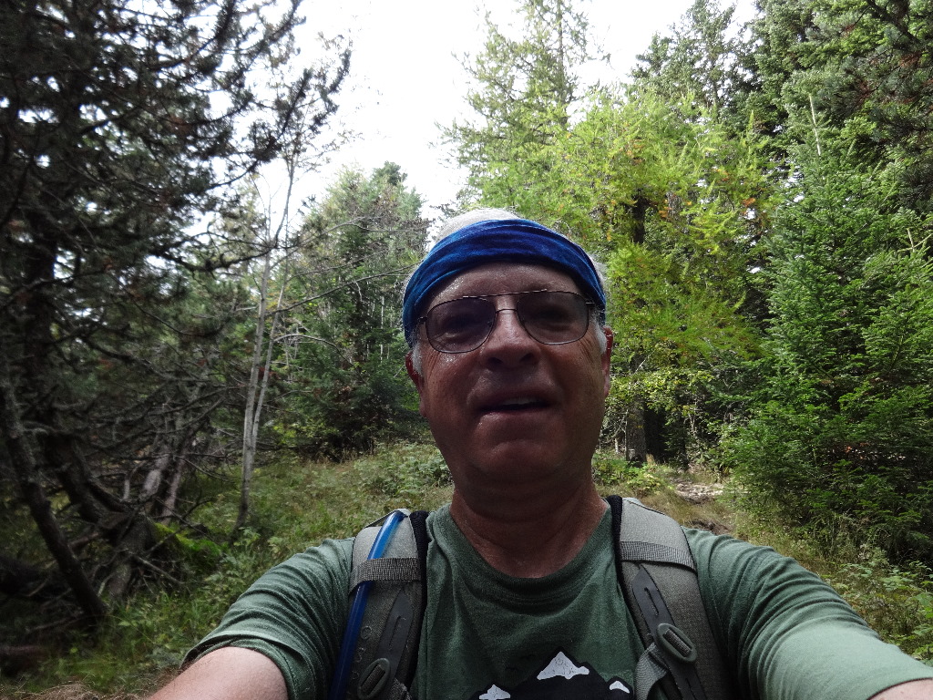
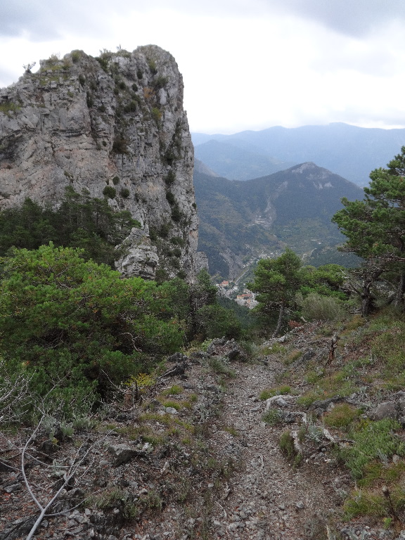
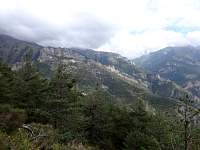
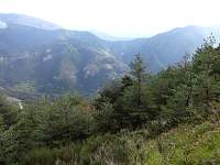
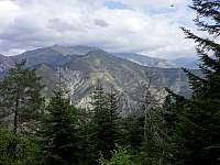
I think this is a generally recommended walk for tourists. Several people had said of it, 'That's a very nice walk.' I'd been walking for almost 80 minutes, ascending continuously, with a fair amount of effort, on an undistinguished trail through the woods. Finally, from this location, I was treated to some scenic views. Overall, in my opinion, this hike did not deliver scenery rewards commensurate with the amount of effort expended. But I did encounter some fine vistas - and plenty of exercise units!
2014:10:09 12:02:36
|
2014:10:09 12:03:38
|
2014:10:09 12:06:10
|
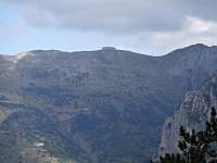
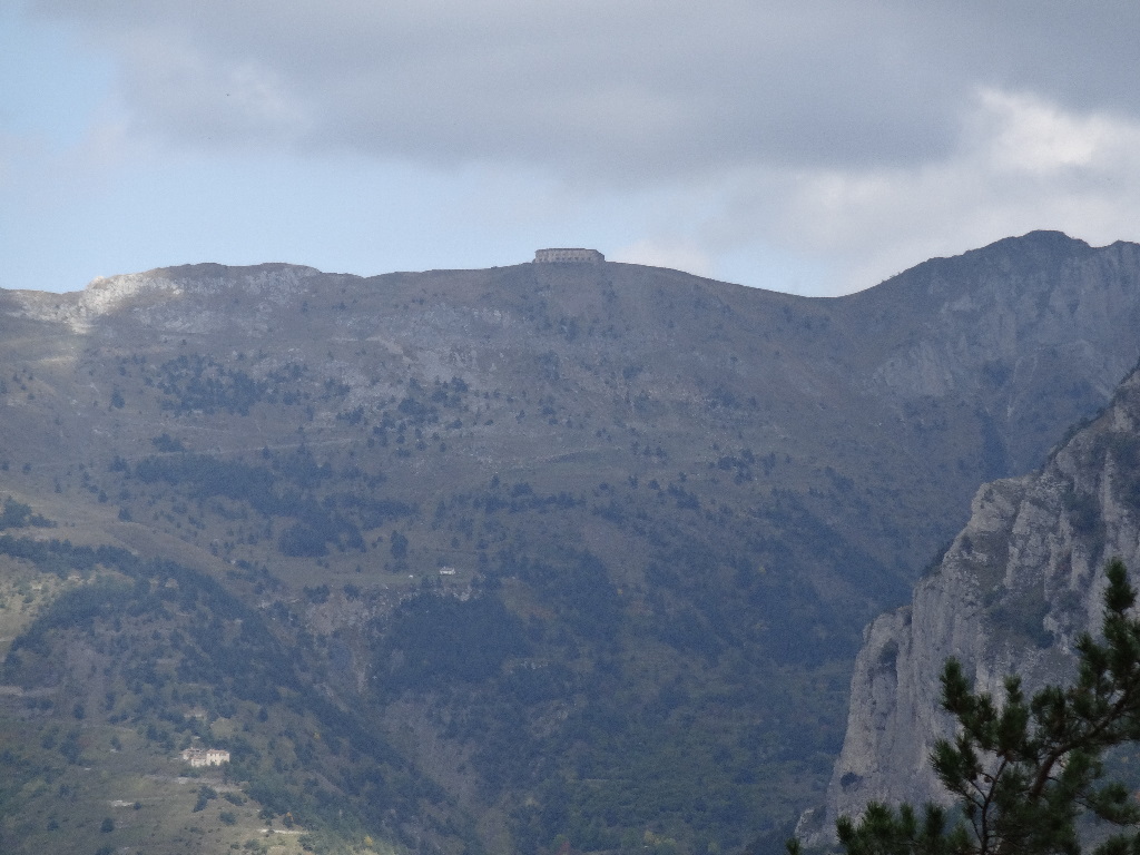
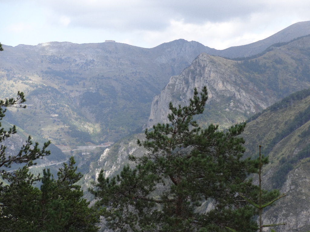
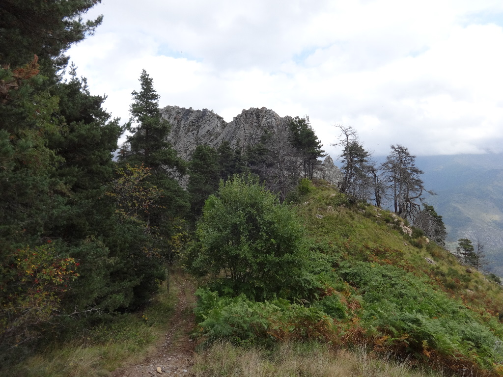
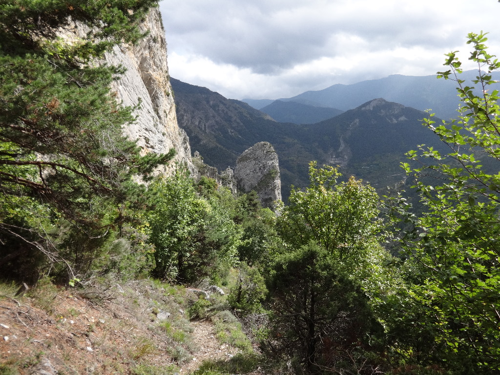
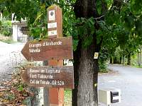
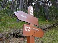
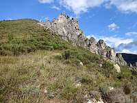
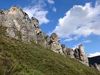
I wondered if this was Fort Tabor ('Fort Tabourde'), a potential destination the previous day.
2014:10:09 12:06:25
|
2014:10:09 12:06:45
|

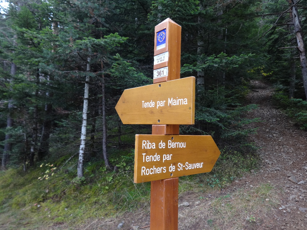
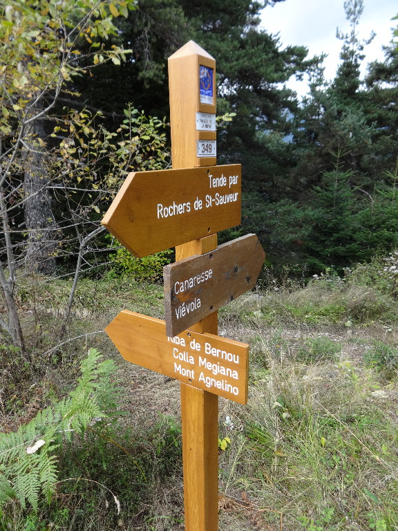
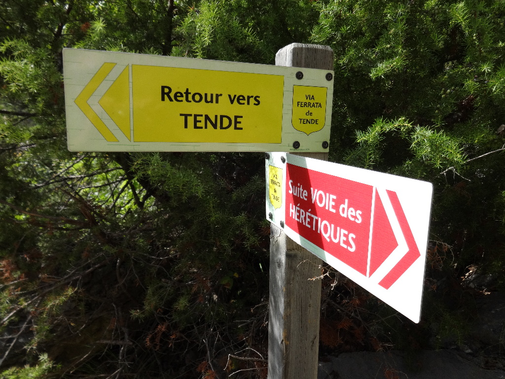
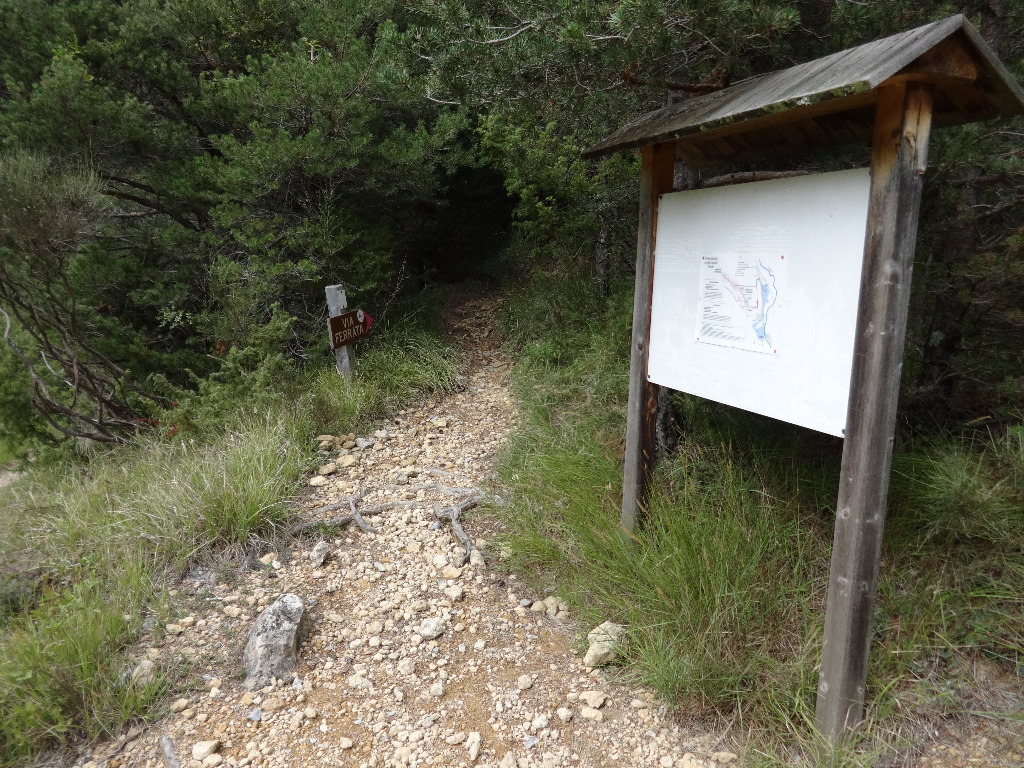
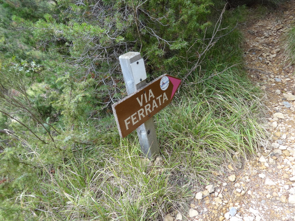
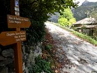
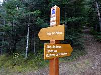
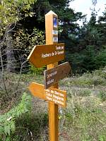
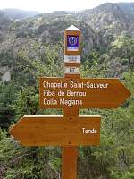
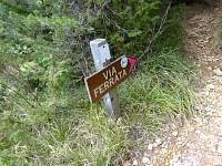
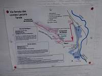
At this point, I should have turned toward 'Tende par Rochers de St-Sauveur'. But another sign indicated that it was a trail toward the 'via ferrata', technical trails for people with climbing helmets, harnesses, etc. I wanted nothing to do with 'via ferrata' and my map appeared to show that I should be tending straight to continue my loop back to Tende.
2014:10:09 12:19:22
|
2014:10:09 12:21:43
|
2014:10:09 12:22:58
|
2014:10:09 12:23:18
|
2014:10:09 12:25:13
|
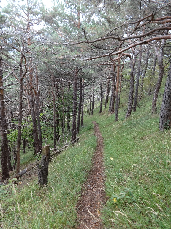
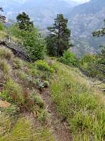
From the junction, the trail continued upward, sometimes steeply. I (stupidly) continued to climb for 25 minutes before I pulled out the map and realized that I should have turned at the junction, despite the 'via ferrata' warning.
2014:10:09 12:46:42
|

2014:10:09 12:46:48
|

I was sweating profusely from the exertion when I turned around.
2014:10:09 12:46:56
|
2014:10:09 13:03:15
|
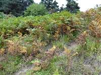
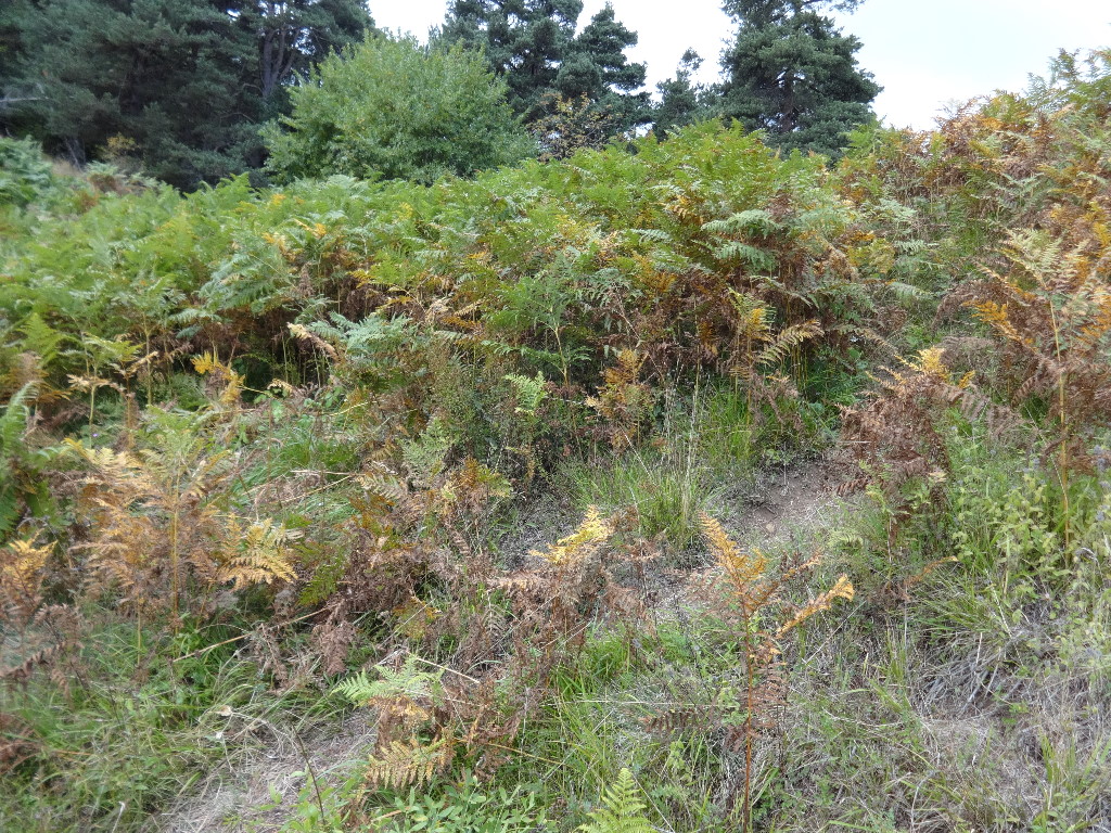
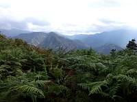
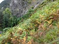
Back at the junction, the trail sign pointed through this forest of chest-high ferns. There was no clear path through it and the dense groundcover obscured footing in potentially treacherous terrain.
2014:10:09 13:07:11
|
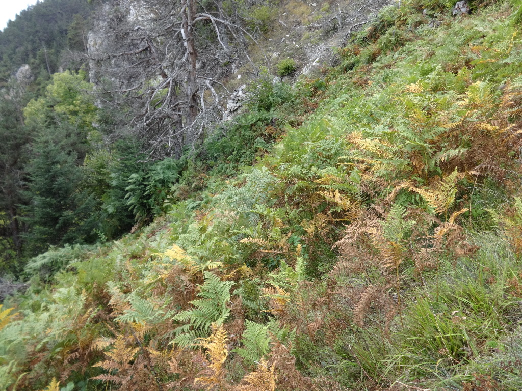
I thought I saw a yellow stripe (characteristic trail blaze in France) near this large dead tree, but did not explore my way to it on the uncertain footing.
2014:10:09 13:07:17
|

After continued exploration, I did spot a hint of a trail and followed it to confirm that I was on the prescribed yellow–blazed route.
2014:10:09 13:09:32
|
2014:10:09 13:09:37
|
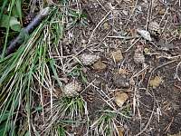
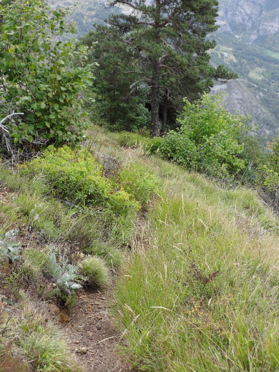
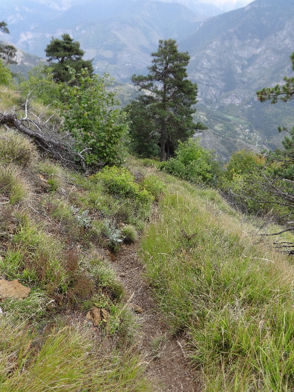
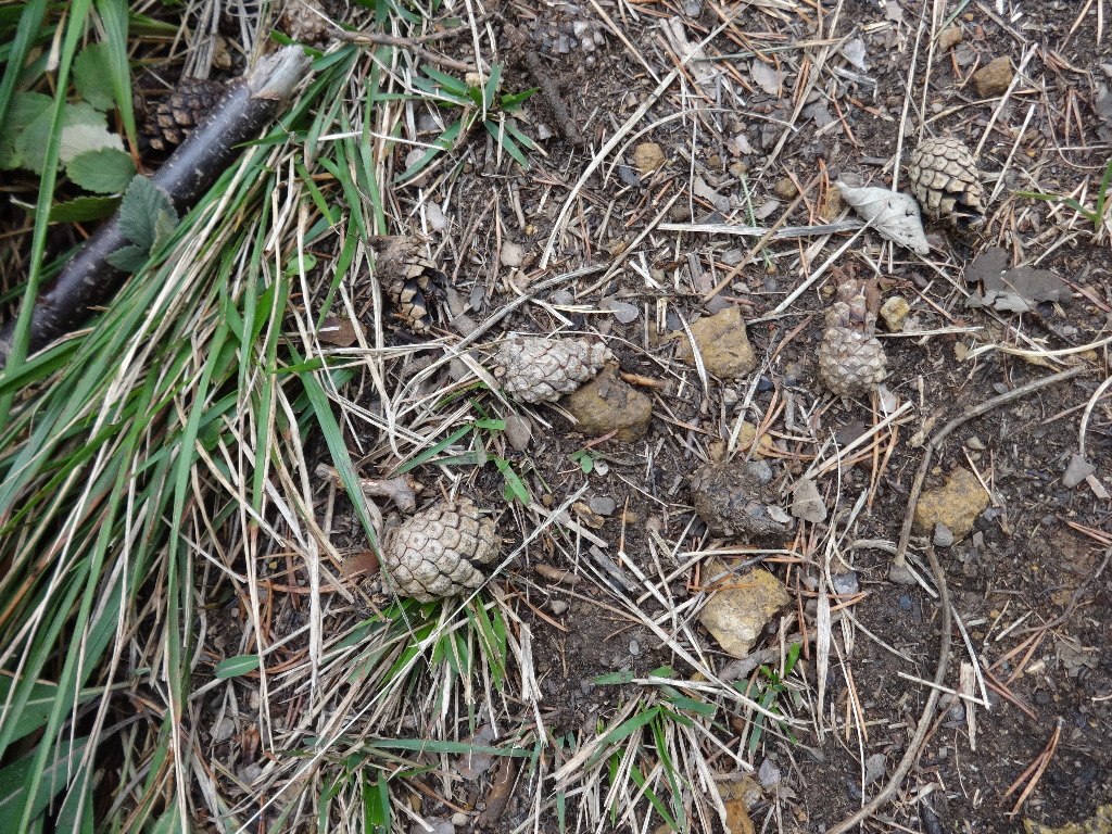
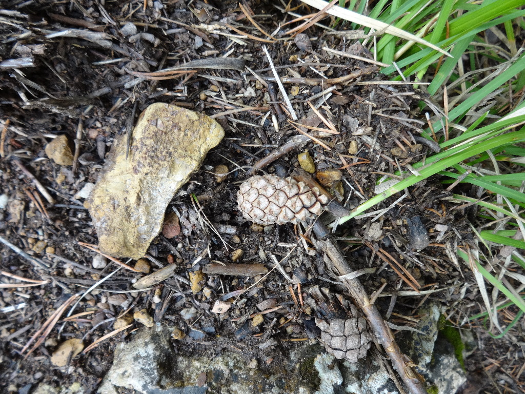
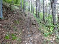
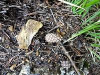
Much of the path nosed down a ridge thru the woods. Mainly at steeper spots, these tough round pine cones appeared in the trail to roll dangerously underfoot.
2014:10:09 13:15:33
|
2014:10:09 13:16:13
|
2014:10:09 13:22:27
|
2014:10:09 13:24:00
|
2014:10:09 13:24:11
|
2014:10:09 13:29:37
|
2014:10:09 13:29:48
|
2014:10:09 13:42:15
|
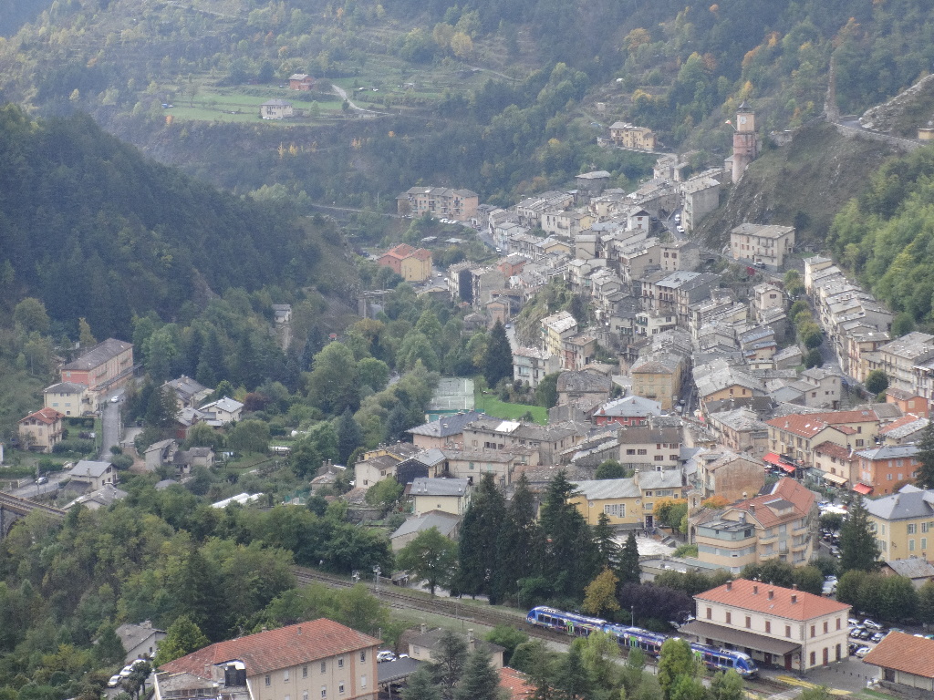
A different view of the scary bridge and tiny chapel mounted high above Tende.
2014:10:09 13:42:27
|
2014:10:09 13:45:24
|
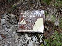
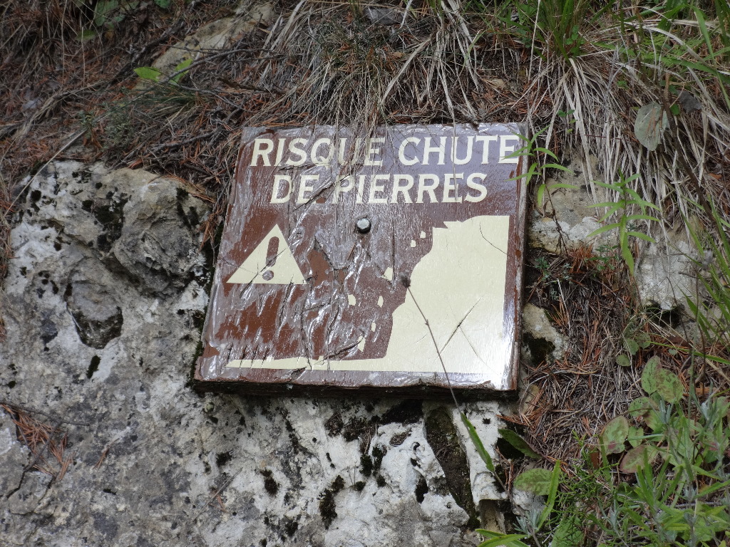
'Danger, Falling Rocks'?
2014:10:09 13:47:51
|
2014:10:09 13:52:59
|
2014:10:09 14:02:24
|
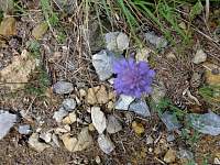
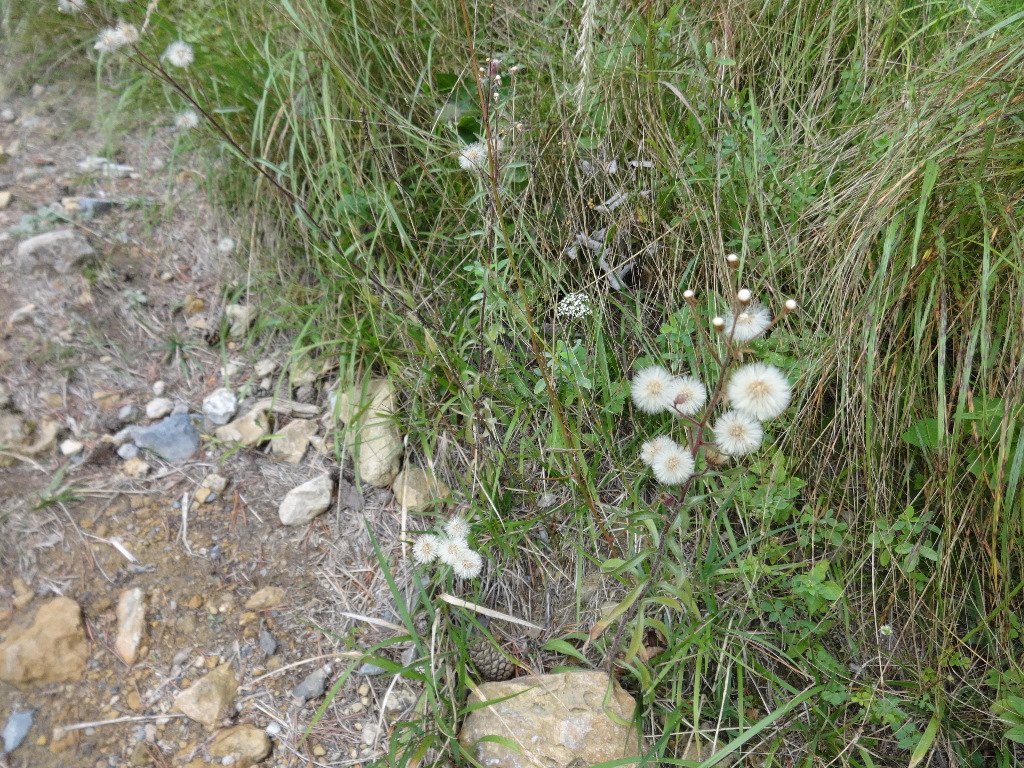
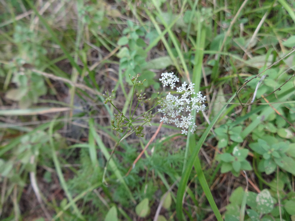
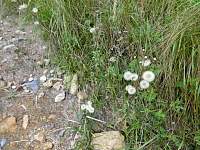
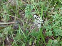
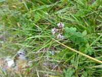
I tend to be pretty oblivious to wildflowers, and most of them had passed with the season, but there were a few hardy stragglers...
2014:10:09 14:05:11
|
2014:10:09 14:05:25
|
2014:10:09 14:05:39
|
2014:10:09 14:05:54
|
2014:10:09 14:07:11
|
2014:10:09 14:07:25
|
2014:10:09 14:07:40
|
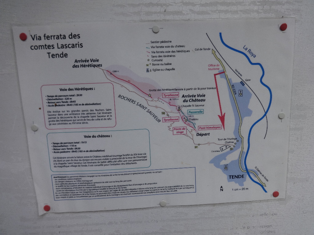
Hmmm, 'Pont Himalayen' at the crashing vertical arrow downward...
2014:10:09 14:08:00
|
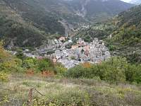
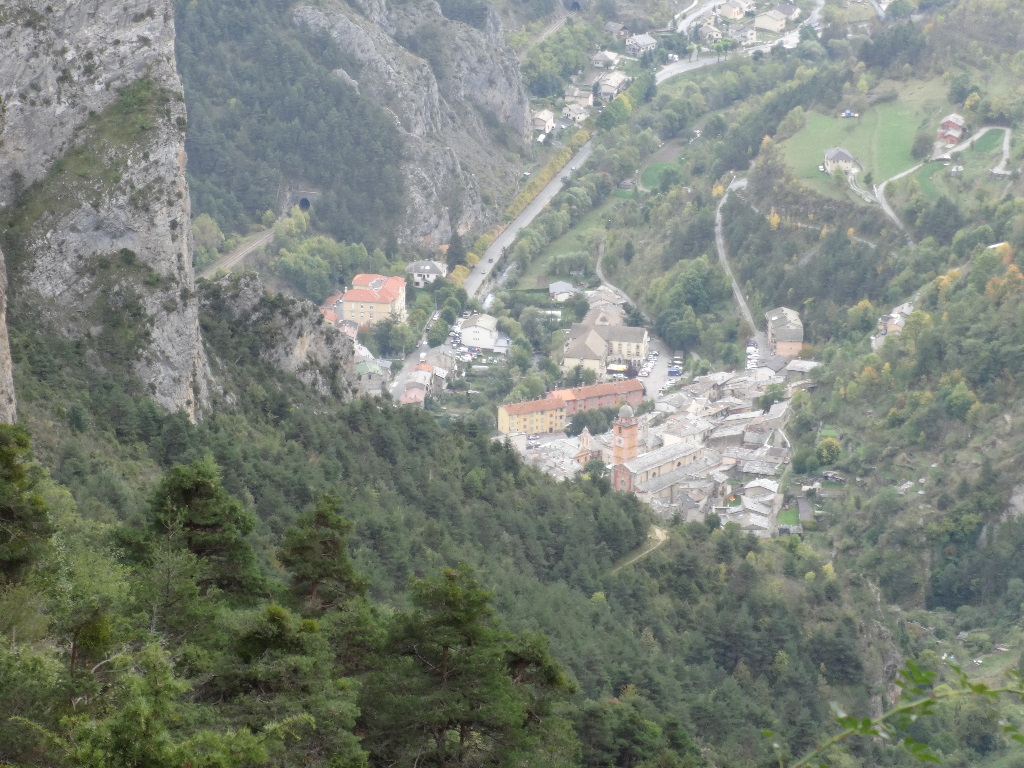
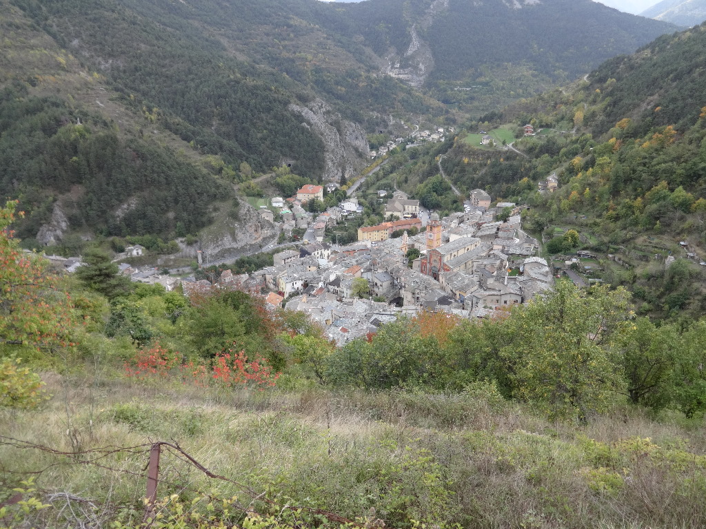
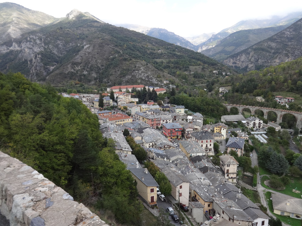
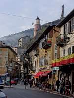
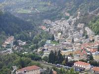
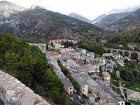
Tende.
2014:10:09 14:10:24
|
2014:10:09 14:14:21
|
2014:10:09 14:14:33
|
2014:10:09 14:15:45
|

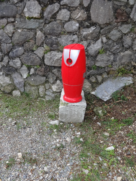
I presumed this was a fire hydrant.
2014:10:09 14:17:00
|
2014:10:09 14:23:07
|

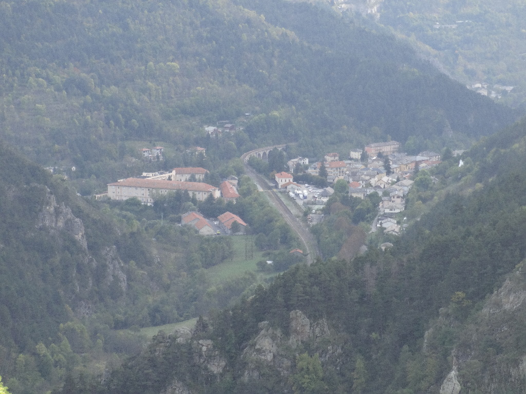
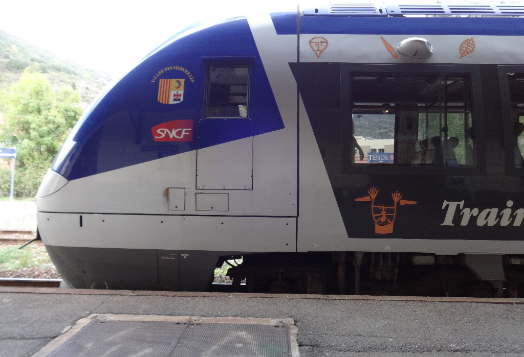
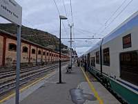
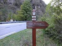
Another modern train would carry me from Tende to Nice.
2014:10:09 14:40:25
|
2014:10:09 14:40:34
|
2014:10:09 14:40:39
|

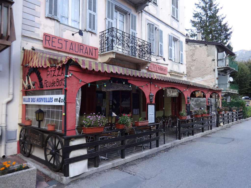
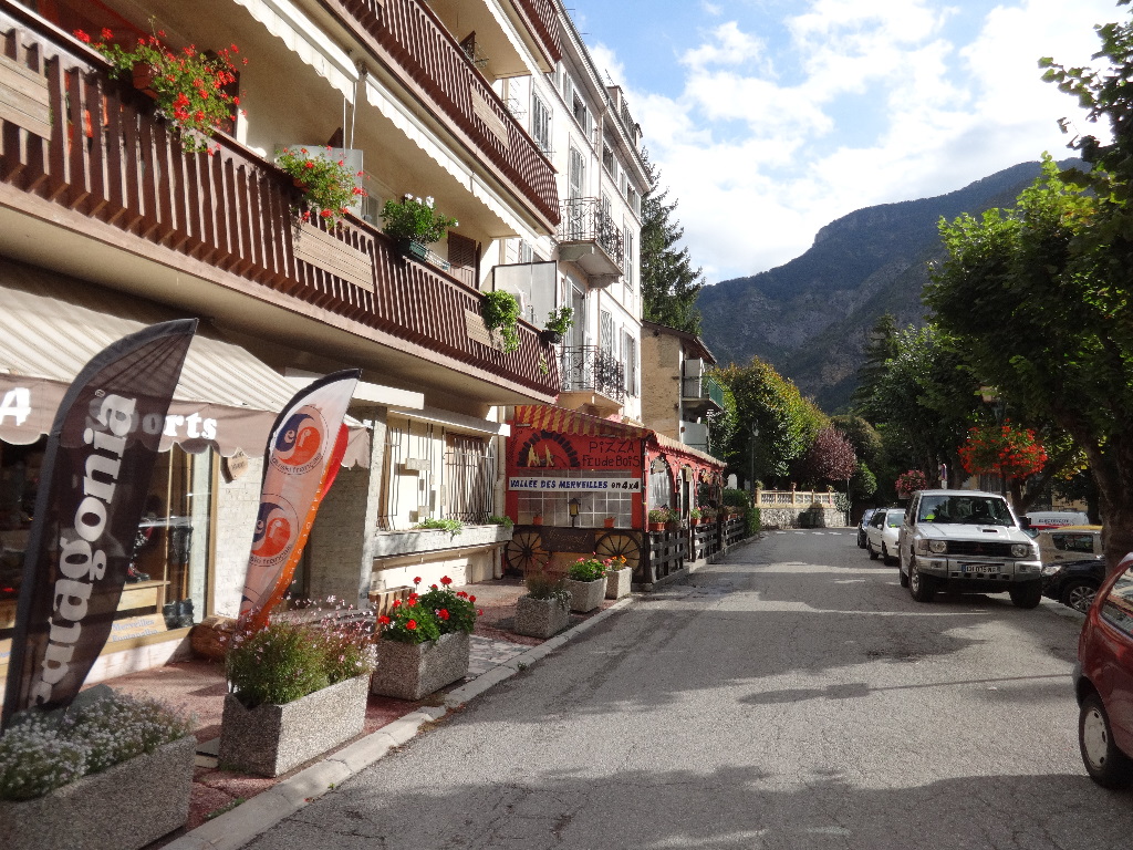
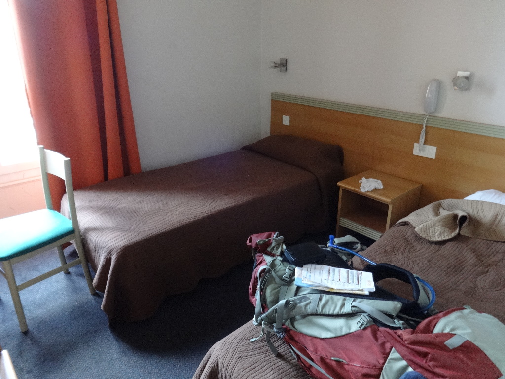
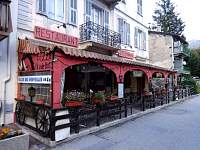
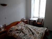
Within minutes of my arrival in Nice, I had located a conveniently placed and not particularly expensive hotel.
2014:10:10 11:03:11
|

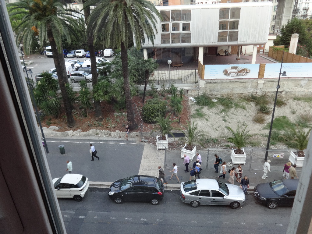
Palm trees outside the window.
2014:10:10 11:03:21
|
2014:10:10 11:03:32
|

2014:10:10 11:03:43
|
|
|