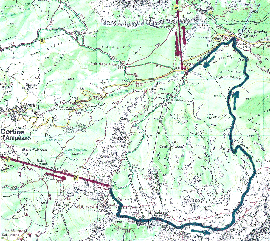
September 8, 2015 – Lift from Cortina to Faloria. Hike to Passo Tre Croce and Rio Gere. Lift to Cristallo and back.
|
2015:09:08 10:56:49
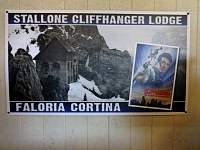
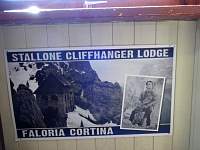
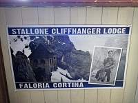
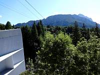
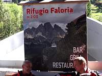
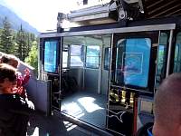
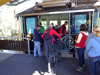
I walked to the lift from Cortina to Faloria. Waiting for the lift, there were posters about. Apparently, a location here was used in Sylvester Stallone's movie 'Cliffhanger'. |
2015:09:08 10:57:14 |
2015:09:08 10:57:27 |
2015:09:08 10:58:04 |
2015:09:08 10:58:54 |
2015:09:08 10:59:29 |
2015:09:08 11:00:06 |
2015:09:08 11:05:21 |
2015:09:08 11:07:33 |
2015:09:08 11:15:11 |
2015:09:08 11:21:35 |
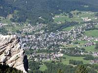
2015:09:08 11:21:51
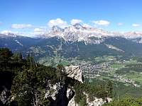
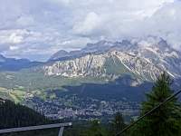
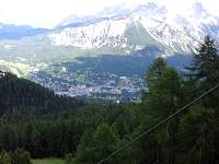
Looking back down from the lift, one can see that Cortina is more of a city than a village. |
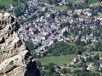
2015:09:08 11:22:21 |
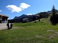
2015:09:08 11:24:07 |
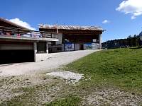
2015:09:08 11:24:30 |
2015:09:08 11:25:07
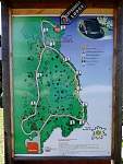
I did not opt to explore the route from Rif. Faloria to the film set location. I had another hike planned. |
2015:09:08 11:29:57 |
2015:09:08 11:30:06
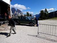
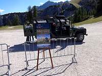
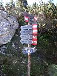
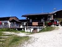
Today's hike would start with a stiff 200-m ascent to a rifugio, but for 5 euros, one could catch a ride up in this 'taxi'. |
2015:09:08 11:30:11
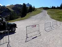
I chose to walk it instead. |
2015:09:08 11:32:10 |
2015:09:08 11:52:47 |
2015:09:08 11:52:52 |
2015:09:08 11:58:07 |
2015:09:08 11:58:24 |
2015:09:08 11:58:34
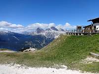
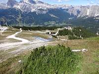
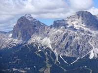
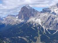
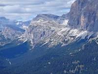
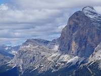
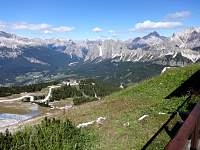
Much of the route I would hike the following day is visible on this photo. I would start from Rif. Laguzoi, which is perched atop the leftmost ridge. |
2015:09:08 11:58:47 |
2015:09:08 11:58:54 |
2015:09:08 11:59:10 |
2015:09:08 12:06:01 |
2015:09:08 12:06:07
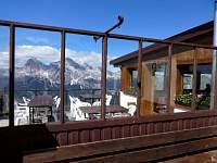
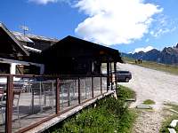
After buying a chocolate bar - for my refreshment and to justify my use of the facility, I sat on the deck and applied sungoop. |
2015:09:08 12:06:24 |
2015:09:08 12:08:58 |
2015:09:08 12:09:05
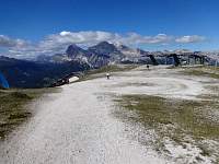
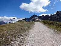
From the rifugio, it was another short ascent to the crest, where I would begin my hike. |
2015:09:08 12:13:45 |
2015:09:08 12:13:50
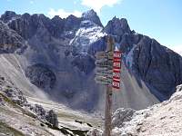
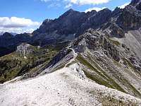
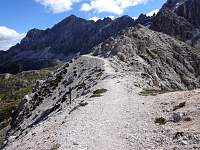
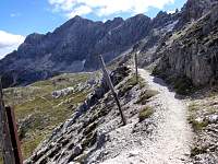
The route appeared to be a bit exposed at the outset, but this was part of Alta Via 3, so I figured it was probably often-used and well-worn. |
2015:09:08 12:16:50 |
2015:09:08 12:18:55 |
2015:09:08 12:20:16
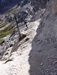
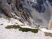
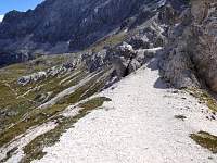
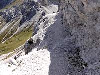
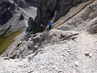
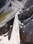
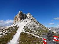
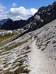
Almost immediately, there were narrow spots where the crumbling ground surface made me feel very anxious. |
2015:09:08 12:22:22 |
2015:09:08 12:22:27 |
2015:09:08 12:24:07 |
2015:09:08 12:25:04 |
2015:09:08 12:28:50
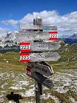
This might have been a good spot to mount a rope or wire for assurance. |
2015:09:08 12:31:01 |
2015:09:08 12:31:12 |
2015:09:08 12:31:17 |
2015:09:08 12:31:37 |
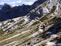
2015:09:08 12:33:33
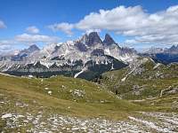
Mostly, it was not scary, just scenic. These folks did not seem as perturbed as I by the scary parts. |
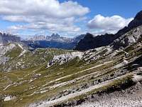
2015:09:08 12:33:47 |
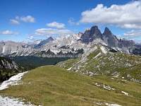
2015:09:08 12:37:01 |
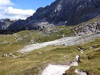
2015:09:08 12:37:11 |
2015:09:08 12:43:32 |
2015:09:08 12:43:41 |
2015:09:08 12:44:13 |
2015:09:08 12:44:19 |
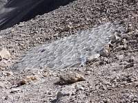
2015:09:08 12:47:25 |
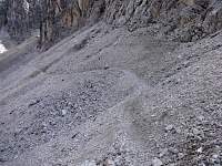
2015:09:08 12:50:37 |
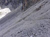
2015:09:08 12:50:59 |
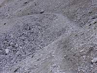
2015:09:08 12:51:15 |
2015:09:08 12:59:40 |
2015:09:08 12:59:53
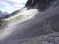
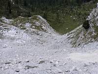
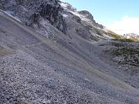
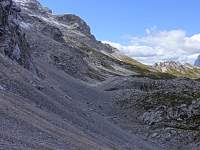
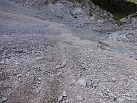
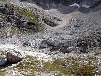
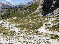
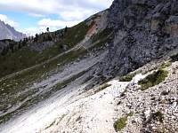
Not knowing what was ahead on the high trail, I scrambled down the scree slope to the lower, parallel trail. |
2015:09:08 13:03:08 |
2015:09:08 13:03:27 |
2015:09:08 13:03:41 |
2015:09:08 13:03:53 |
2015:09:08 13:15:52 |
2015:09:08 13:16:13 |
2015:09:08 13:20:05 |
2015:09:08 13:28:46 |
2015:09:08 13:29:22 |
2015:09:08 13:34:14 |
2015:09:08 13:34:21 |
2015:09:08 13:46:33 |
2015:09:08 13:46:43
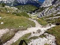
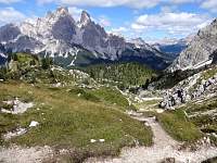
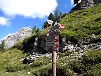
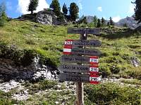
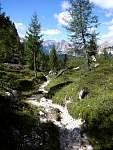
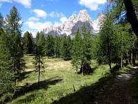
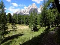
My intended route left the ridge to descend a pleasant valley of forests and pastures. |
2015:09:08 13:50:40 |
2015:09:08 14:06:30 |
2015:09:08 14:06:34 |
2015:09:08 14:24:26
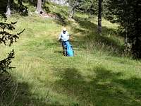
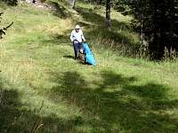
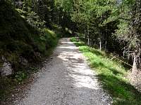
I was enjoying a relaxed descent through the woods, miles from anything, I thought, when I heard the sound of a machine. Off to my right, this man appeared, mowing a narrow swath through this field. I was not as far from civilization as I thought. |
2015:09:08 14:24:30 |
2015:09:08 14:25:58 |
2015:09:08 14:29:57 |
2015:09:08 14:30:02 |
2015:09:08 14:30:45 |
2015:09:08 14:31:05
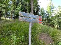
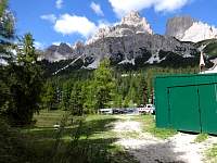
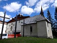
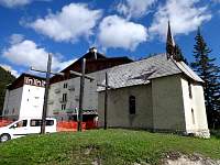
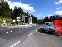
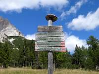
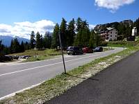
Soon after passing the mower, I arrived at Passo Tre Croci. You can see why they call it 'Pass of the Three Crosses'. |
2015:09:08 14:32:25 |
2015:09:08 14:32:50 |
2015:09:08 14:33:05 |
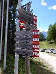
2015:09:08 14:35:03
From the pass, I hiked down Trail 209, parallel to the road, to Rio Gere. |
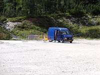
2015:09:08 14:48:30 |
2015:09:08 14:48:40 |
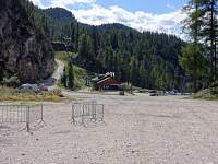
2015:09:08 14:48:48 |
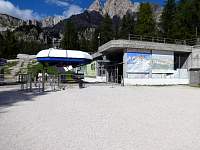
2015:09:08 14:52:30
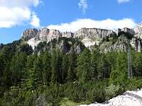
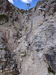
From Rio Gere, I took the chairlift up the first stage of the lift to Cristallo. |
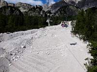
2015:09:08 14:56:30 |
2015:09:08 14:56:44 |
2015:09:08 15:05:38 |
2015:09:08 15:05:47 |
2015:09:08 15:07:31 |
2015:09:08 15:08:03 |
2015:09:08 15:08:44
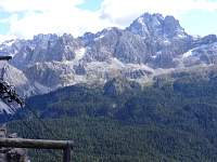
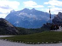
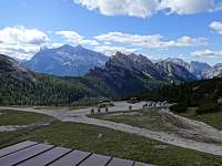
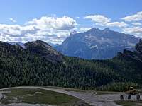
My (scary) route of earlier in the day had started on the summit plateau on the right. |
2015:09:08 15:08:53 |
2015:09:08 15:09:06 |
2015:09:08 15:09:43 |
2015:09:08 15:09:56
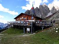
At the midstation/rifugio, I saw that there was another nearby lift that would port me to the top. |
2015:09:08 15:10:33 |
2015:09:08 15:11:07 |
2015:09:08 15:14:13 |
2015:09:08 15:14:29 |
2015:09:08 15:14:52 |
2015:09:08 15:16:32 |
2015:09:08 15:22:33
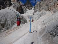
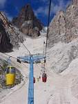
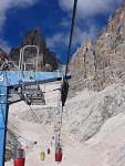
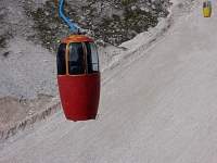
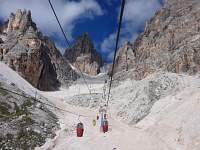
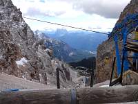
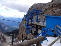
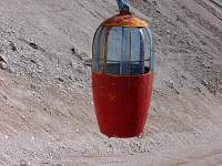
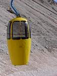
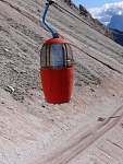
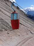
The lift up consisted of these strange vertical pods, a new transport modality in my experience... |
2015:09:08 15:22:45 |
2015:09:08 15:22:55 |
2015:09:08 15:23:27 |
2015:09:08 15:23:45 |
2015:09:08 15:42:32 |
2015:09:08 15:43:19 |
2015:09:08 15:43:36
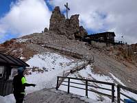
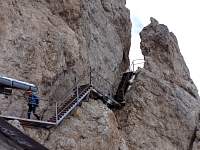
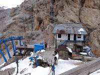
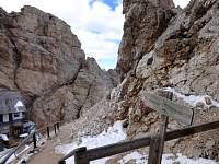
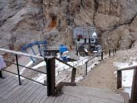
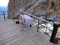
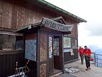
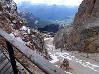
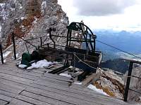
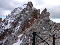
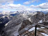
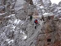
At the top of the lift was a rifugio, but the main attraction seemed to be a number of 'via ferrate'. These are nasty, exposed routes navigated by courageous climbers wearing helmets and harnesses. They clip their harnesses to wires and other appurtenances anchored to the rock. |
2015:09:08 15:44:05 |
2015:09:08 15:44:55 |
2015:09:08 15:46:04 |
2015:09:08 15:46:15 |
2015:09:08 15:46:22 |
2015:09:08 15:46:32 |
2015:09:08 15:47:03 |
2015:09:08 15:47:15 |
2015:09:08 15:47:29 |
2015:09:08 15:47:44 |
2015:09:08 15:47:49 |
2015:09:08 15:47:56 |
2015:09:08 15:48:29 |
2015:09:08 15:48:52 |
2015:09:08 15:49:06
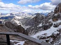
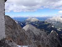
Looking north toward Austria. |
2015:09:08 15:49:13 |
2015:09:08 15:49:57
Brave souls on 'via ferrate'. |
2015:09:08 15:50:37 |
2015:09:08 15:51:08 |
2015:09:08 15:51:28 |
2015:09:08 15:51:39 |
2015:09:08 15:52:19 |
2015:09:08 15:52:24 |
2015:09:08 15:52:47 |
2015:09:08 15:52:55 |
2015:09:08 15:53:25 |
2015:09:08 15:53:46 |
2015:09:08 15:54:22 |
2015:09:08 15:54:58 |
2015:09:08 15:55:34 |
2015:09:08 16:02:29 |
2015:09:08 16:02:34 |
2015:09:08 16:16:12 |
2015:09:08 16:16:25 |
2015:09:08 16:16:37 |
2015:09:08 16:17:03 |
2015:09:08 16:17:29 |
2015:09:08 16:17:37
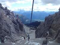
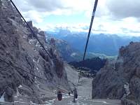
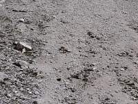
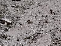
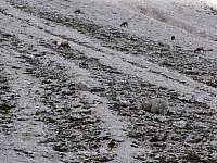
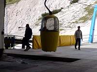
As I rode the pod down, I thought that maybe I should scan the barren slopes for critters. I was gratified to spot some grazing beasts. I think they may be ibex, also called steinbock. |
2015:09:08 16:17:44 |
2015:09:08 16:18:23 |
2015:09:08 16:19:01 |
2015:09:08 16:24:43 |
2015:09:08 16:25:02 |
2015:09:08 16:25:07 |
2015:09:08 16:25:29 |
2015:09:08 16:28:27 |
2015:09:08 16:32:29
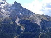
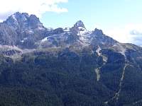
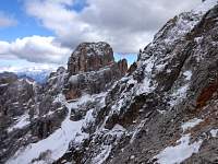
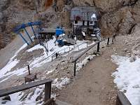
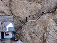
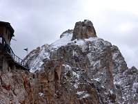
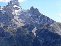
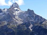
Zoomed-in photos of the early, anxious beginning stretch of my day's hike. |
2015:09:08 16:32:36 |
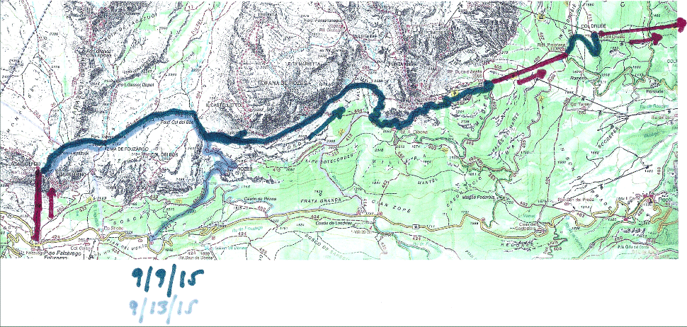
September 9, 2015 – Lift from Falzarego Pass to Laguzoi Hut. Hike Alta Via 1, mostly, to Rif. Dibona. Ascend to Pomedes. Lift not running! Hike down to Rif. Duca d'Aosta. Lift down to Pietofana. Walk to Col Drusie. Lift to Cortina.
|

2015:09:08 23:46:45 |
2015:09:09 11:18:53 |
2015:09:09 11:19:03 |
2015:09:09 11:19:22 |
2015:09:09 11:21:14 |
2015:09:09 11:31:36
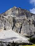
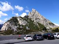
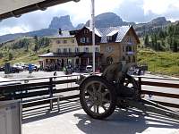
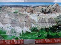
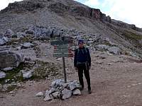
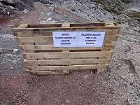
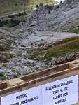
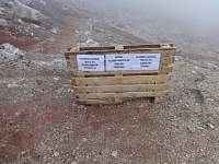
There were new, temporary signs posted, saying that Trail 402 was closed due to a rockfall. My planned route included some of Trail 402, so I was concerned. But I asked someone who seemed to work there and he indicated that my plan would not include the closed stretch. |
2015:09:09 11:32:07 |
2015:09:09 11:35:20 |
2015:09:09 11:35:25 |
2015:09:09 11:35:31
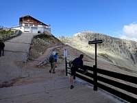
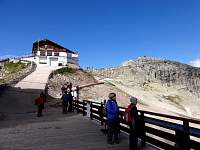
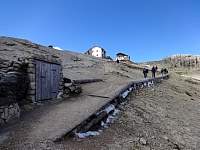
Rifugio Laguzoi. |
2015:09:09 11:37:48 |
2015:09:09 11:38:52 |
2015:09:09 11:39:17 |
2015:09:09 11:42:09
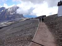
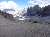
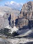
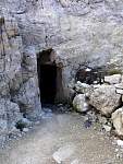
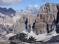
I hiked down switchbacks and nicely engineered ramps past historic WW1 fortifications. Some were illustrated with descriptive placards. |
2015:09:09 11:44:44 |
2015:09:09 11:45:01 |
2015:09:09 11:56:06 |
2015:09:09 11:56:33
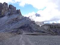
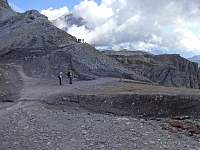
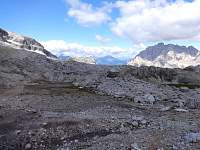
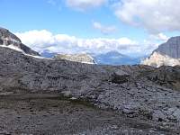
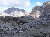
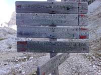
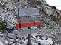
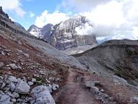
The closed section of the 402 descends to the right. I'm basically headed straight ahead here. |
2015:09:09 11:59:33 |
2015:09:09 11:59:43 |
2015:09:09 11:59:49 |
2015:09:09 12:00:00 |
2015:09:09 12:00:49 |
2015:09:09 12:03:50 |
2015:09:09 12:04:02 |
2015:09:09 12:04:08 |
2015:09:09 12:07:00 |
2015:09:09 12:07:26 |
2015:09:09 12:09:45 |
2015:09:09 12:10:00 |
2015:09:09 12:11:33 |
2015:09:09 12:11:40 |
2015:09:09 12:11:49 |
2015:09:09 12:12:38 |
2015:09:09 12:13:24 |
2015:09:09 12:16:18
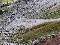
At the next forcella (pass), there was another spur of descending (closed) Trail 402. |
2015:09:09 12:16:59 |
2015:09:09 12:17:16 |
2015:09:09 12:20:10 |
2015:09:09 12:20:18 |
2015:09:09 12:24:48 |
2015:09:09 12:26:09 |
2015:09:09 12:26:28
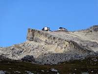
Looking back at the top of the lift and Rif. Laguzoi. |
2015:09:09 12:34:08 |
2015:09:09 12:34:19 |
2015:09:09 12:34:38 |
2015:09:09 12:34:46 |
2015:09:09 12:35:15 |
2015:09:09 12:39:54 |
2015:09:09 12:49:41 |
2015:09:09 12:50:38 |
2015:09:09 12:50:55 |
2015:09:09 12:51:20 |
2015:09:09 12:51:27 |
2015:09:09 12:54:47 |
2015:09:09 12:54:57 |
2015:09:09 12:55:14 |
2015:09:09 12:56:11 |
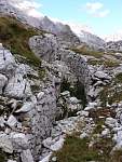
2015:09:09 12:56:18 |
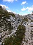
2015:09:09 12:56:27 |
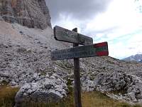
2015:09:09 12:57:16
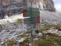
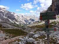
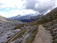
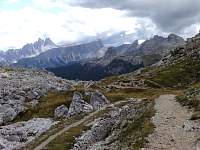
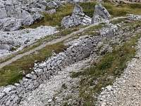
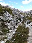
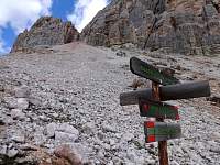
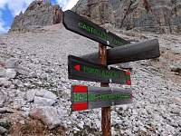
I reached Trail 404, which was my intended course, a continuation of the Alta Via 1. |
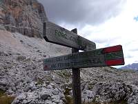
2015:09:09 12:58:48 |
2015:09:09 12:59:08 |
2015:09:09 13:08:27 |
2015:09:09 13:08:47 |
2015:09:09 13:09:02 |
2015:09:09 13:16:28
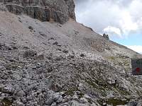
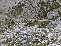
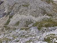
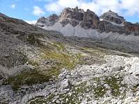
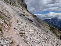
Maybe I should have noticed that the trail was not as well worn as it should have been, it being the 'Alta Via 1', a popular (and 'safe') tourist route. |
2015:09:09 13:37:08 |
2015:09:09 13:37:15 |
2015:09:09 13:58:40
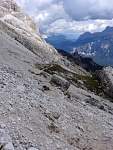
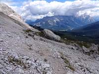
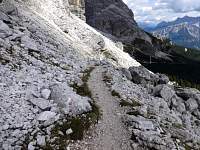
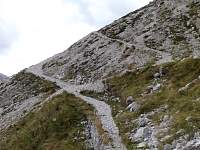
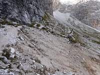
I was dismayed, and terrified, to encounter several spots on the 404 where the crumbling trail was interrupted. Washouts produced gaps where the footing was tenuous - at very exposed locations. I got past them, but I found it very stressful and not much fun. I wondered if I was actually ON the path. I didn't get any pictures of the difficult places; I was feeling too nervous... |
2015:09:09 13:58:47 |
2015:09:09 14:06:44 |
2015:09:09 14:30:30 |
2015:09:09 14:30:59 |
2015:09:09 14:33:00 |
2015:09:09 14:35:07 |
2015:09:09 14:39:45
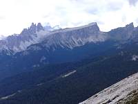
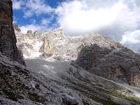
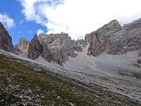
After slabbing, largely on-contour along the face of the massif, I reached this valley and dscended to Rif. Dibona. |
2015:09:09 15:09:52
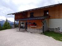
Rif. Dibona. |
2015:09:09 15:18:17
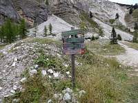
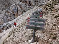
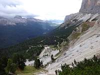
I already felt like it had been a long day, but my plan was to ascend a final 300-meter grunt to Rif. Pomedes and take a succession of 2 lifts down to walk a final mile up to Col Drusie, where I would catch a lift back to Cortina. |
2015:09:09 15:28:09
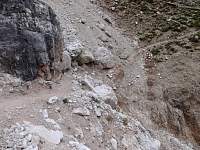
I had encountered several terrifying spots like this earlier on the 404, when I had been too anxious and preoccupied with my footing to take any photos. |
2015:09:09 15:41:18 |
2015:09:09 15:44:06 |
2015:09:09 15:44:10 |
2015:09:09 15:44:22 |
2015:09:09 15:50:42
I had been specifically assured by the tourist office that morning - and by my printed schedule of lift-operating dates - that this lift would be running. But, to my extreme disappointment, the chairlift was not operating. |
2015:09:09 15:50:50
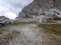
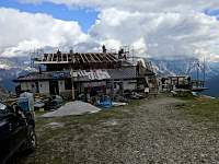
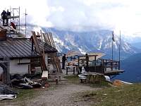
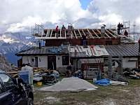
Rif. Pomedes was being renovated. |
2015:09:09 15:51:06 |
2015:09:09 15:51:13 |
2015:09:09 16:02:49
I began walking down the ski slope toward Cortina. |
2015:09:09 16:08:26
I emerged at the base of a ski trail, below the mid-station at Rif. Duca D'Aosta. I pulled out the map to assess my best route for the very long slog of a walk I would have to endure to get back to Cortina. Then, out of the corner of my eye, I saw a chairlift moving, not far away. I hustled, as best my weary muscles could hustle, upward to Rif. Duca D'Aosta where I was VERY gratified to find that the lower section of lift was still running, despite the upper section, to Rif. Pomedes, being closed. |
2015:09:09 16:20:20 |
2015:09:09 16:20:27
I rode the chairlift down. Then I walked the mile uphill to Col Drusie, where I arrived at the lift station for the gondola back to Cortina. |
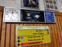
2015:09:09 16:41:37
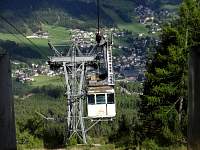
I arrived at the lift after 4:30 to see that the final lift down was at 4:45 PM. Spent, but relieved, I waited for the lift back to Cortina and then walked the 10 minutes from it to my hotel. |
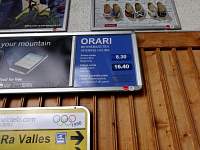
2015:09:09 16:41:45 |
2015:09:09 16:41:53 |
2015:09:09 16:43:20 |
|
|
|
|
September 10, 2015 – Lift to Rif. Scoiattoli. Hike up to Rif. Nuvolau. Hike down to and through the Cinque Torri. Lift back down.
|
|
2015:09:10 11:23:57
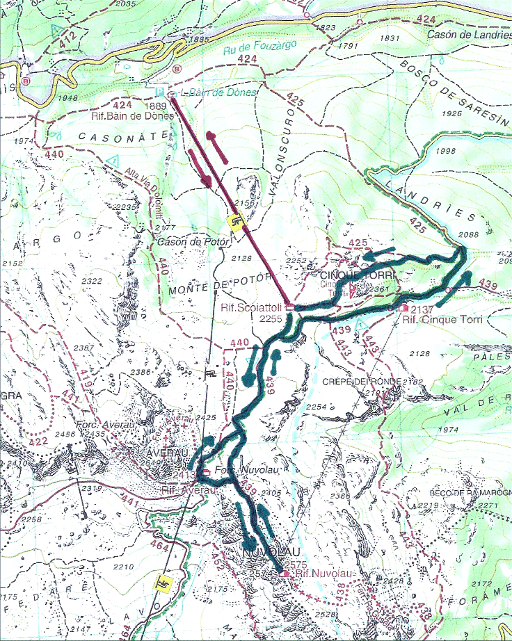
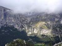
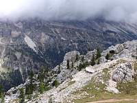
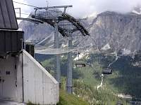
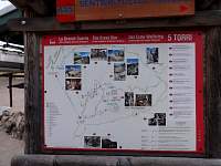
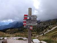
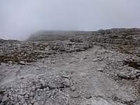
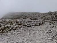
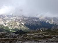
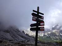
I bused to take the lift up and hike to Rif. Nuvolau and the Cinque Torri. From the top of the lift, I had a good view of the route I'd taken for my sometimes-threatening hike on the Alta Via 1 the previous day. |
2015:09:10 11:24:05 |
2015:09:10 11:24:15 |
2015:09:10 11:24:58 |
2015:09:10 11:26:27 |
2015:09:10 11:26:40 |
2015:09:10 11:26:47 |
2015:09:10 11:28:12 |
2015:09:10 11:33:40 |
2015:09:10 11:33:48
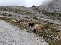
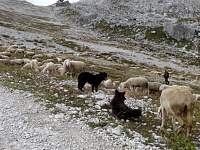
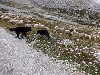
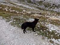
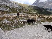
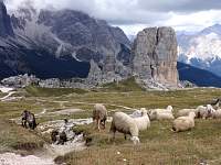
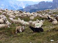
I saw lots of unattended sheep and goats in my ramblings, but this flock had both a shepherd and a pair of dogs to manage them. |
2015:09:10 11:33:59 |
2015:09:10 11:34:06 |
2015:09:10 11:34:17 |
2015:09:10 11:50:03 |
2015:09:10 11:50:11 |
2015:09:10 11:51:37 |
2015:09:10 11:58:48 |
2015:09:10 11:59:01 |
2015:09:10 12:03:42 |
2015:09:10 12:06:56
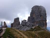
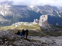
Looking back down toward the towers on the right, the Cinque Torri, which I would explore later in the day. |
2015:09:10 12:11:47
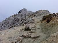
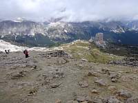
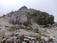
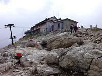
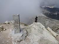
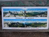
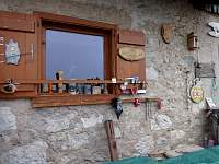
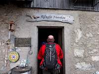
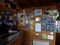
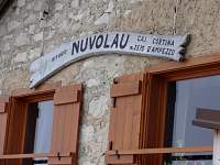
I approached Rif. Nuvolau, dramatically perched at the crest of a narrowing ridge. |
2015:09:10 12:12:01 |
2015:09:10 12:13:41 |
2015:09:10 12:14:52 |
2015:09:10 12:16:40 |
2015:09:10 12:17:21 |
2015:09:10 12:17:49
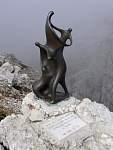
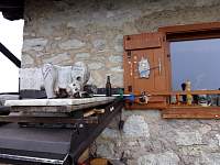
Most rifugios are not adorned with such cool modern statues... |
2015:09:10 12:18:03 |
2015:09:10 12:18:46 |
2015:09:10 12:19:17 |
2015:09:10 12:19:44 |
2015:09:10 12:19:57 |
2015:09:10 12:20:14 |
2015:09:10 12:20:26 |
2015:09:10 12:20:39 |
2015:09:10 12:22:20 |
2015:09:10 12:22:33 |
2015:09:10 12:25:40 |
2015:09:10 12:25:47 |
2015:09:10 12:27:00 |
2015:09:10 12:27:09
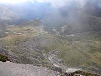
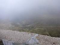
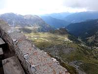
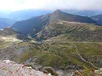
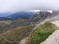
The view to the southwest had been obscured by clouds, but they parted to reveal the scenery below. |
2015:09:10 12:27:19 |
2015:09:10 12:27:27 |
2015:09:10 12:32:28
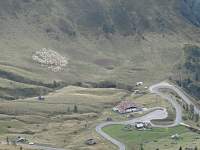
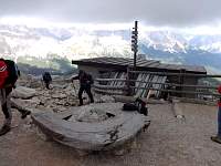
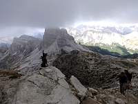
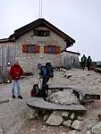
I presume that we're looking at a sheep cluster on the left. |
2015:09:10 12:32:42 |
2015:09:10 12:36:08 |
2015:09:10 12:36:32 |
2015:09:10 12:36:55 |
2015:09:10 12:37:10 |
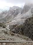
2015:09:10 12:38:22 |
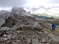
2015:09:10 12:39:14 |
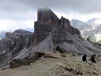
2015:09:10 12:42:58 |
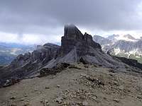
2015:09:10 12:43:10 |
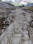
2015:09:10 12:46:26
I have appreciated hiking on bedrock slab in various places (e.g., Monadnock, Acadia...). This is the dolomite analogue of slab walking. |
2015:09:10 12:52:18 |
2015:09:10 12:52:47 |
2015:09:10 12:57:32 |
2015:09:10 12:57:38 |
2015:09:10 13:00:17
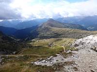
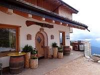
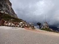
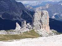
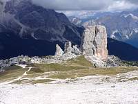
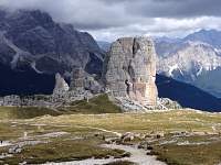
Hiking down from Rif. Nuvolau, I detoured west briefly to Rif. Averau. |
2015:09:10 13:00:41 |
2015:09:10 13:00:51 |
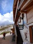
2015:09:10 13:01:04
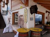
I appreciated the idea of a chairlift to go up the stairs. |
2015:09:10 13:03:41 |
2015:09:10 13:04:14 |
2015:09:10 13:09:47 |
2015:09:10 13:10:51 |
2015:09:10 13:12:36 |
2015:09:10 13:16:32 |
2015:09:10 13:16:41 |
2015:09:10 13:17:04 |
2015:09:10 13:18:54 |
2015:09:10 13:22:12 |
2015:09:10 13:26:32 |
2015:09:10 13:28:54 |
2015:09:10 13:32:39 |
2015:09:10 13:34:33
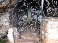
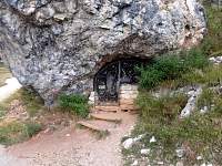
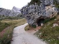
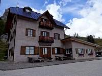
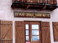
A tiny chapel occupied this grotto beside the road/trail to Rif. Cinque Torri. |
2015:09:10 13:34:44 |
2015:09:10 13:34:55 |
2015:09:10 13:40:09 |
2015:09:10 13:40:23 |
2015:09:10 13:40:36
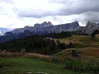
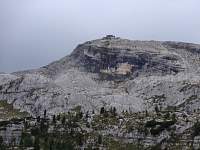
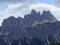
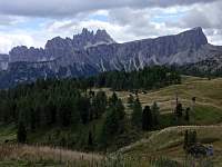
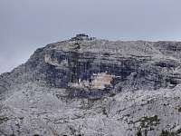
Looking back toward Rif. Nuvolau. |
2015:09:10 13:40:45 |
2015:09:10 13:41:03 |
2015:09:10 13:41:20 |
2015:09:10 13:41:39 |
2015:09:10 13:47:26
Waiting. |
2015:09:10 13:48:24
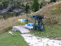
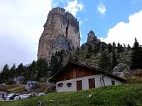
This is the cargo lift that serves Rif. Nuvolau. |
2015:09:10 13:48:37 |
2015:09:10 13:48:58 |
2015:09:10 13:50:30 |
2015:09:10 13:56:38
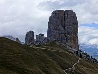
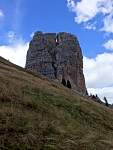
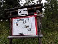
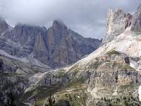
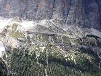
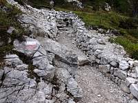
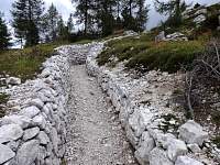
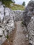
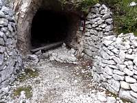
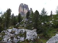
I walked down the road from Rif. Cinque Torri, then hung a left on a trail to approach the spires of the Cinque Torri. During World War I, this area was a military site. My route traversed part of the outdoor WW1 museum. |
2015:09:10 14:02:27 |
2015:09:10 14:03:17 |
2015:09:10 14:03:28 |
2015:09:10 14:06:05
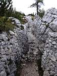
Presumably, these rock-lined paths were part of the fortifications in WW1. |
2015:09:10 14:06:28 |
2015:09:10 14:07:09 |
2015:09:10 14:08:38 |
2015:09:10 14:09:13 |
2015:09:10 14:13:03 |
2015:09:10 14:14:15
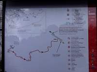
One of the informative museum placards along the route. I was relieved to be informed about my location. |
2015:09:10 14:18:06 |
2015:09:10 14:18:20 |
2015:09:10 14:18:30 |
2015:09:10 14:21:44 |
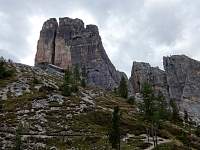
2015:09:10 14:21:53 |
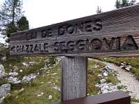
2015:09:10 14:22:38
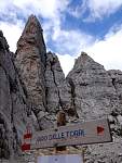
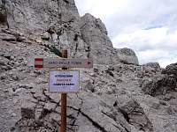
My route did not seem to correspond to the trail shown on my map. This sign pointed toward the 'seggovia' (chairlift), but it pointed away from my route. |
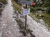
2015:09:10 14:24:40
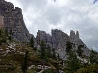
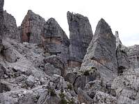
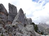
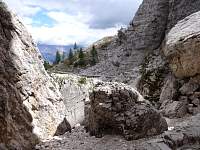
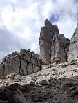
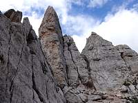
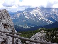
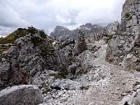
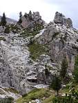
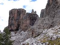
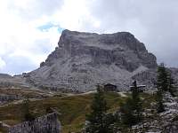
But I did seem to be on a marked/worn path, and it continued toward, instead of away from, the giant towers of the Cinque Torri. I hoped the appended warning sign just indicated 'Danger Falling Rocks'. |
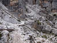
2015:09:10 14:26:52 |
2015:09:10 14:27:28 |
2015:09:10 14:27:35 |
2015:09:10 14:29:58
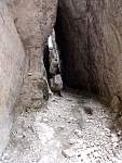
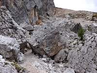
The trail led through this cleft. |
2015:09:10 14:30:10 |
2015:09:10 14:31:39 |
2015:09:10 14:31:49
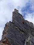
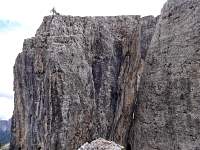
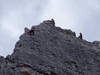
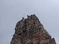
Above me, these rock climbers surmounted one of the rock pinnacles. |
2015:09:10 14:32:33 |
2015:09:10 14:32:48 |
2015:09:10 14:32:58 |
2015:09:10 14:33:43 |
2015:09:10 14:33:54 |
2015:09:10 14:34:13 |
2015:09:10 14:35:16 |
2015:09:10 14:36:50 |
2015:09:10 14:37:04 |
2015:09:10 14:37:43
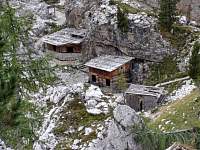
More relict military structures. |
2015:09:10 14:37:58 |
2015:09:10 14:38:53 |
2015:09:10 14:39:05 |
2015:09:10 14:40:35 |
2015:09:10 14:42:12 |
2015:09:10 14:43:10 |
2015:09:10 14:44:35 |
2015:09:10 14:44:49 |
2015:09:10 14:46:53 |
2015:09:10 14:48:25 |
2015:09:10 14:48:49 |
2015:09:10 14:49:57 |
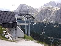
I rode the lift down. There was a tourist trap/cafe at the bottom. Like the lift, it would close in a few days, to reopen at the end of November with the advent of ski season. |
|
September 11, 2015 – Bus to Falzarego Pass. Plans to retrace route of Sep. 9 were abandoned due to snow concerns.
|
It rained overnight and I awoke to see fresh snow draped on the surrounding mountains that were visible from Cortina. But I thought maybe the snow was confined to the higher elevations, so I set out to repeat the first two-thirds of my hike of Wednesday. Except for the scary parts, it had been a delightful, scenic walk. I figured that maybe if I carefully stuck to the Alta Via 1 trail - and did not stray from it - I would not encounter the scary stretches on this safest of tourist walks: the Alta Via 1. |
In a departure from Wednesday's route, instead of hiking the 300-meter ascent to the lift (that was not running), I would duck out to the road and catch a bus back to Cortina. |
|
2015:09:11 12:43:06 |
2015:09:11 12:43:13 |
2015:09:11 12:43:23 |
2015:09:11 12:43:35 |
2015:09:11 12:43:53 |
2015:09:11 12:44:43
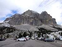
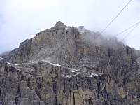
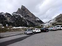
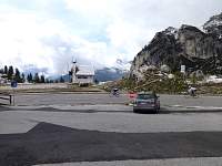
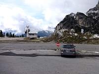
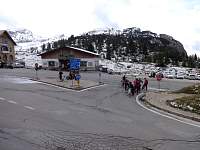
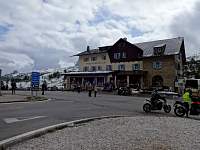
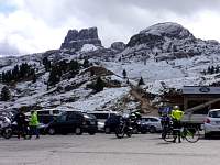
Seeing that several inches of snow had fallen, even down to the level of the pass, I was concerned that taking the lift up 650 meters from there to start my hike, which I had found treacherous in spots, would potentially put me solidly into the snow zone. I decided to postpone the adventure. |
2015:09:11 12:45:23 |
2015:09:11 12:45:48 |
2015:09:11 12:46:15 |
2015:09:11 12:46:27 |
2015:09:11 12:46:39
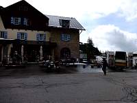
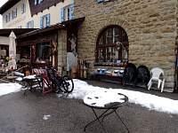
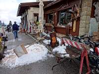
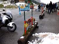
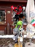
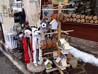
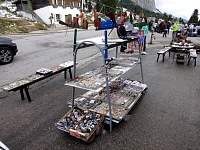
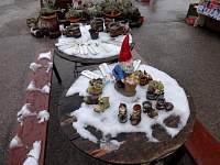
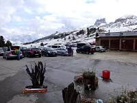
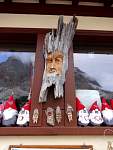
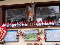
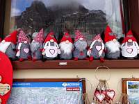
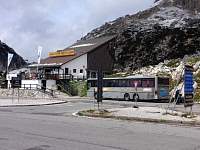
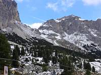
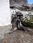
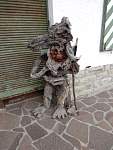
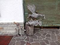
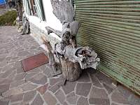
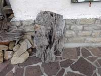
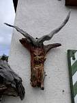
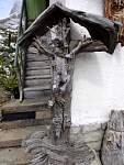
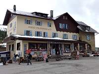
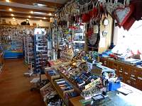
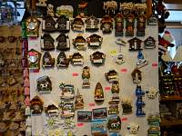
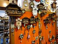
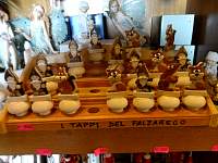
I had a while to wait before the next bus back to Cortina, so I took photos of the Falzarego Pass tourist trap. |
2015:09:11 12:46:49 |
2015:09:11 12:47:05 |
2015:09:11 12:47:30 |
2015:09:11 12:48:04 |
2015:09:11 12:48:19 |
2015:09:11 12:48:34 |
2015:09:11 12:48:58 |
2015:09:11 12:49:11 |
2015:09:11 12:49:22 |
2015:09:11 12:49:48 |
2015:09:11 12:53:53 |
2015:09:11 12:55:02 |
2015:09:11 12:55:17 |
2015:09:11 12:55:35 |
2015:09:11 12:55:44 |
2015:09:11 12:55:58 |
2015:09:11 12:56:07 |
2015:09:11 12:56:25 |
2015:09:11 12:56:45 |
2015:09:11 13:00:10 |
2015:09:11 13:00:29 |
2015:09:11 13:00:42 |
2015:09:11 13:01:20 |
2015:09:11 13:16:53
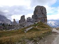
View of the towers of the Cinque Torri on the left. |
On the bus back, I rode with a couple who had overnighted at Rif. Nuvolau, above the Cinque Torri. To their alarm, they had awoken to six inches of fresh snow. But they had hiked down to Falzarego Pass without incedent. |
|
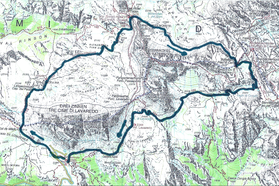
September 12, 2015 – Bus to Rif. Auronzo. Circuit hike of Tre Cime massif.
|
I was told that an absolute must-see for a visit to Cortina was the Tre Cime (Three Summits). Reportedly the circuit hike around the Tre Cime was one of the finest walks around. I scheduled it for the day forecast to provide the most favorable weather conditions, Saturday, September 12. |
Saturday morning, before I left for the bus to the Tre Cime, the clerk at my hotel recalled that there was some big event scheduled for the Tre Cime to promote worldwide awareness of the current refugee crisis. She looked it up and confirmed the plan - for Sunday, September 13 - for '6,000 people to form a 10km human chain to encircle the iconic Tre Cime'. |
I was happy that my scheduled visit would miss the overrun mayhem that would likely ensue on Sunday, but it was a beautiful Saturday and I was headed toward a major tourist destination. I expected that I might encounter a crowded situation... |
2015:09:12 11:08:10
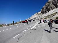
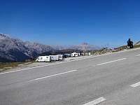
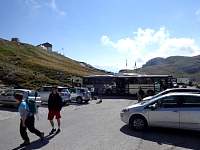
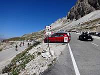
Rifugio Auronzo, the starting point for a largely on-contour circuit of the scenic massif, was situated high (2300m!) on the flank of the mountain. Reachable by toll road, there were several huge parking lots, and many people. |
2015:09:12 11:08:15 |
2015:09:12 11:08:25 |
2015:09:12 11:08:46 |
2015:09:12 11:11:07 |
2015:09:12 11:13:08
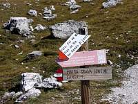
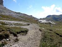
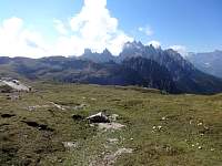
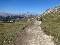
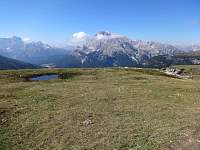
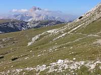
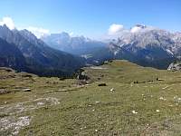
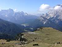
But when I started to hike the circuit in a clockwise direction, I was please to see that the hordes had either stopped at Rif Auronzo, or were hiking the shorter, more direct route to Rif Tre Cima as an out-and-back. I encountered people on the trail, but it was not 'crowded'. |
2015:09:12 11:13:15 |
2015:09:12 11:13:36 |
2015:09:12 11:13:42 |
2015:09:12 11:14:12 |
2015:09:12 11:15:29 |
2015:09:12 11:15:37 |
2015:09:12 11:16:24 |
2015:09:12 11:16:35
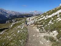
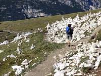
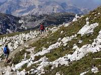
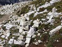
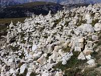
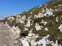
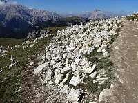
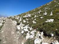
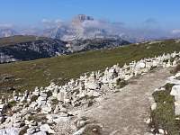
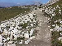
I approached a zone where the zen rock people had gone wild. |
2015:09:12 11:16:40 |
2015:09:12 11:16:56 |
2015:09:12 11:17:17 |
2015:09:12 11:17:24 |
2015:09:12 11:17:36 |
2015:09:12 11:17:41 |
2015:09:12 11:18:01 |
2015:09:12 11:18:16 |
2015:09:12 11:18:44 |
2015:09:12 11:23:01 |
2015:09:12 11:24:36 |
2015:09:12 11:24:47 |
2015:09:12 11:24:52 |
2015:09:12 11:24:58 |
2015:09:12 11:25:38 |
2015:09:12 11:26:00 |
2015:09:12 11:26:28 |
2015:09:12 11:27:38 |
2015:09:12 11:28:54 |
2015:09:12 11:29:05 |
2015:09:12 11:30:24 |
2015:09:12 11:31:47 |
2015:09:12 11:35:23 |
2015:09:12 11:35:30 |
2015:09:12 11:35:37 |
2015:09:12 11:35:43 |
2015:09:12 11:36:39 |
2015:09:12 11:36:46 |
2015:09:12 11:37:01 |
2015:09:12 11:37:12 |
2015:09:12 11:37:45 |
2015:09:12 11:43:54 |
2015:09:12 11:44:08 |
2015:09:12 11:44:31 |
2015:09:12 11:44:44 |
2015:09:12 11:45:46 |
2015:09:12 11:45:53 |
2015:09:12 11:46:08 |
2015:09:12 11:47:18 |
2015:09:12 11:48:21 |
2015:09:12 11:48:33 |
2015:09:12 11:49:07 |
2015:09:12 11:49:42
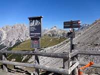
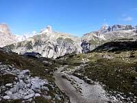
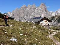
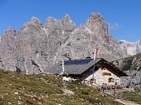
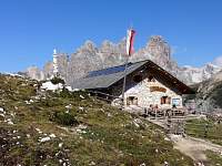
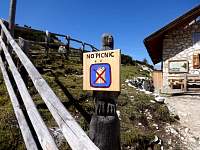
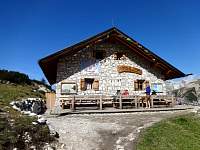
The sign said it was no picnic, but I found it an eye-popping bagatelle! |
2015:09:12 11:49:48 |
2015:09:12 11:50:49 |
2015:09:12 11:51:04 |
2015:09:12 11:53:06 |
2015:09:12 11:53:37 |
2015:09:12 11:55:50 |
2015:09:12 11:55:57 |
2015:09:12 12:03:49 |
2015:09:12 12:04:15 |
2015:09:12 12:04:27 |
2015:09:12 12:04:49 |
2015:09:12 12:09:32 |
2015:09:12 12:11:53
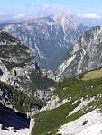
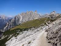
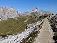
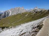
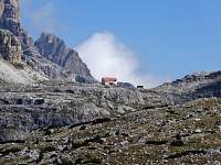
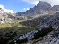
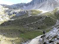
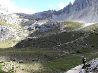
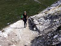
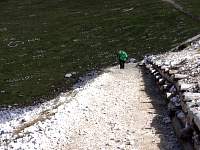
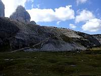
Though much of the route was fairly flat, there was a long ramped descent into a valley before ascending to a rifugio located just out of sight atop the ridge on the left. |
2015:09:12 12:11:59 |
2015:09:12 12:14:49 |
2015:09:12 12:14:58 |
2015:09:12 12:15:23 |
2015:09:12 12:15:31
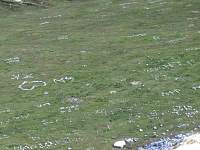
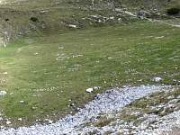
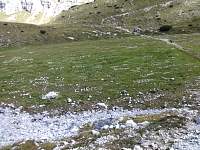
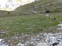
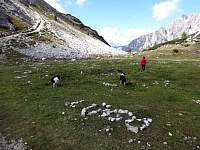
The valley bottom was adorned with 'graffiti' inscribed using white rocks. |
2015:09:12 12:17:08 |
2015:09:12 12:17:22 |
2015:09:12 12:18:40 |
2015:09:12 12:19:02 |
2015:09:12 12:20:39
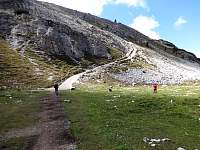
Somewhere nearby, a marmot shrieked, capturing the attention of this woman and her two dogs. |
2015:09:12 12:21:12 |
2015:09:12 12:21:35 |
2015:09:12 12:24:35 |
2015:09:12 12:24:47 |
2015:09:12 12:24:58 |
2015:09:12 12:27:45
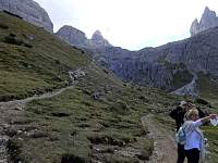
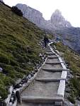
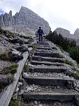
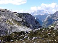
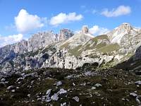
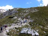
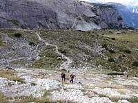
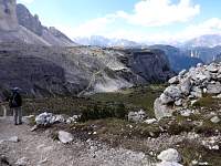
The ascent from the valley to the rifugio was substantial, but the trail was well engineered. |
2015:09:12 12:30:38 |
2015:09:12 12:34:07 |
2015:09:12 12:34:26 |
2015:09:12 12:36:01 |
2015:09:12 12:40:56 |
2015:09:12 12:43:40 |
2015:09:12 12:44:24 |
2015:09:12 12:44:30 |
2015:09:12 12:47:54 |
2015:09:12 12:48:02 |
2015:09:12 12:48:10 |
2015:09:12 12:52:23 |
2015:09:12 12:52:33 |
2015:09:12 12:52:49 |
2015:09:12 12:53:04 |
2015:09:12 12:58:13 |
2015:09:12 12:58:25 |
2015:09:12 12:58:39 |
2015:09:12 12:58:53 |
2015:09:12 12:59:07
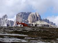
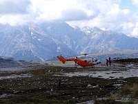
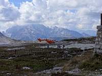
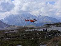
I did not know why the helicopter was perched here. |
2015:09:12 13:01:02
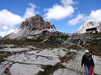
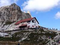
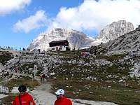
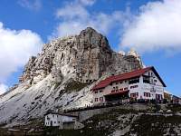
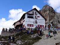
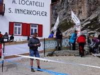
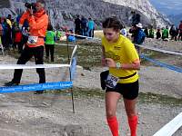
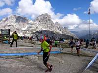
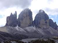
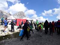
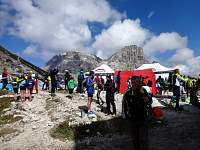
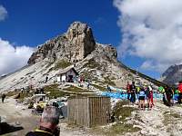
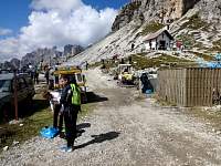
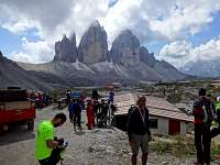
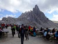
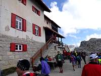
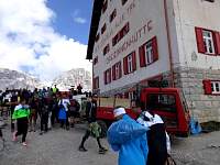
When I reached Rifugio Tre Cime A. Locatelli (Dreizinnenhutte), I found it crowded. There was a public address system set up and loud Italian pop music was blaring from it, punctuated with narration of a long-distance cross-country running race which was, apparently, ending here. |
2015:09:12 13:01:47 |
2015:09:12 13:01:54 |
2015:09:12 13:02:06 |
2015:09:12 13:03:35 |
2015:09:12 13:03:45 |
2015:09:12 13:16:35 |
2015:09:12 13:16:39 |
2015:09:12 13:16:49 |
2015:09:12 13:16:59 |
2015:09:12 13:17:18 |
2015:09:12 13:17:40 |
2015:09:12 13:18:04 |
2015:09:12 13:18:22 |
2015:09:12 13:22:29 |
2015:09:12 13:22:59 |
2015:09:12 13:23:07 |
2015:09:12 13:23:25
Rather than take this shorter, direct route back to Rif Auronzo, I figured I had plenty of time before the 4:50 bus back to Cortina. There was one earlier bus, at 2:30, that I might have made, but why truncate the finest hiking in the world??? |
2015:09:12 13:24:10
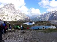
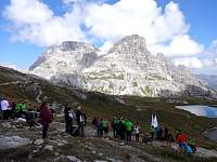
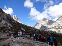
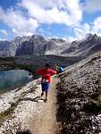
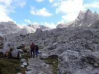
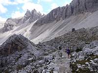
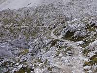
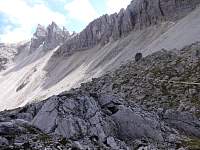
So I opted to extend my route. Mostly it was sparsely populated. But the first section coincided with the race course. So I passed quite a few spent trail runners, who seemed eager to reach the finish line and end their ordeal. |
2015:09:12 13:24:20 |
2015:09:12 13:24:50 |
2015:09:12 13:29:55 |
2015:09:12 13:35:26 |
2015:09:12 13:39:46 |
2015:09:12 13:39:57 |
2015:09:12 13:40:09 |
2015:09:12 13:40:14 |
2015:09:12 13:43:33 |
2015:09:12 13:44:38 |
2015:09:12 13:44:47 |
2015:09:12 13:46:17 |
2015:09:12 13:46:41 |
2015:09:12 13:48:50 |
2015:09:12 13:52:57 |
2015:09:12 13:53:55 |
2015:09:12 13:54:03 |
2015:09:12 13:54:19
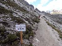
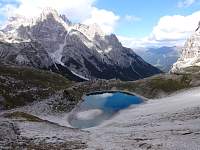
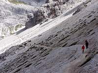
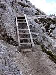
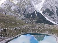
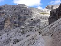
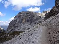
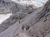
Much of the route was easy and relatively flat. |
2015:09:12 13:57:39 |
2015:09:12 13:57:49 |
2015:09:12 13:58:10 |
2015:09:12 13:59:16 |
2015:09:12 13:59:24 |
2015:09:12 14:03:05 |
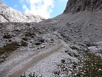
2015:09:12 14:07:27
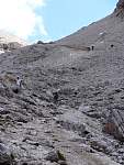
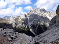
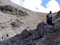
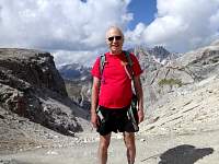
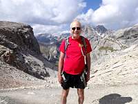
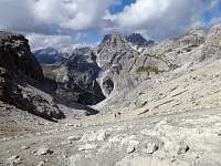
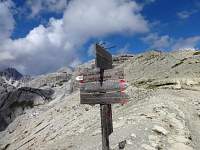
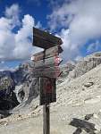
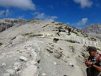
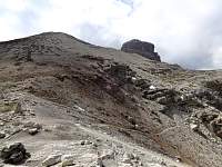
But eventually it was time to ascend to a pass. |
2015:09:12 14:07:47 |
2015:09:12 14:08:08 |
2015:09:12 14:17:54 |
2015:09:12 14:28:04 |
2015:09:12 14:28:13 |
2015:09:12 14:29:17 |
2015:09:12 14:31:17 |
2015:09:12 14:31:29 |
2015:09:12 14:31:34 |
2015:09:12 14:31:44 |
2015:09:12 14:31:50 |
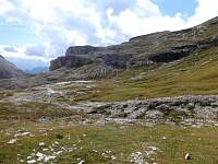
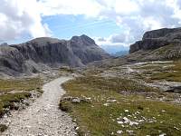
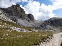
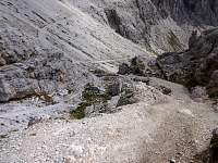
2015:09:12 14:32:06
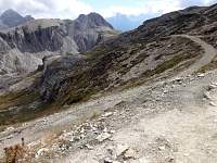
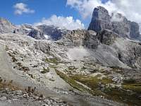
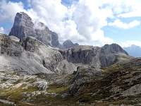
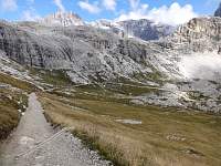
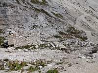
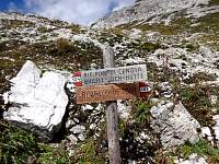
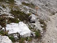
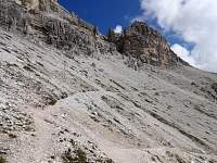
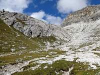
The route began a long descent. |
2015:09:12 14:32:13 |
2015:09:12 14:35:27 |
2015:09:12 14:39:58 |
2015:09:12 14:40:04 |
2015:09:12 14:40:11 |
2015:09:12 14:44:18 |
2015:09:12 14:45:04 |
2015:09:12 14:45:42 |
2015:09:12 14:45:47 |
2015:09:12 14:45:57 |
2015:09:12 14:46:30 |
2015:09:12 14:47:02 |
2015:09:12 14:49:46 |
2015:09:12 14:49:52 |
2015:09:12 14:55:09 |
2015:09:12 14:55:33 |
2015:09:12 15:00:28 |
2015:09:12 15:00:31 |
2015:09:12 15:03:59 |
2015:09:12 15:04:06 |
2015:09:12 15:05:40 |
2015:09:12 15:06:33 |
2015:09:12 15:06:43 |
2015:09:12 15:12:19 |
2015:09:12 15:12:33 |
2015:09:12 15:12:41 |
2015:09:12 15:13:25 |
2015:09:12 15:13:39 |
2015:09:12 15:19:33 |
2015:09:12 15:19:39 |
2015:09:12 15:19:49 |
2015:09:12 15:20:19 |
2015:09:12 15:20:30 |
2015:09:12 15:24:29 |
2015:09:12 15:24:41 |
2015:09:12 15:24:53 |
2015:09:12 15:32:22
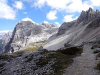
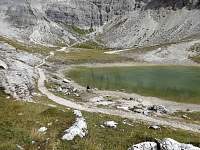
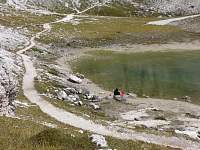
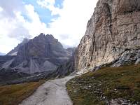
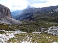
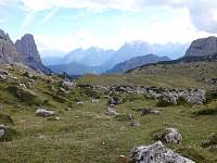
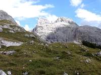
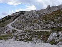
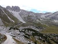
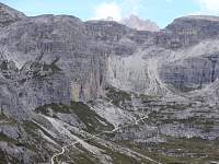
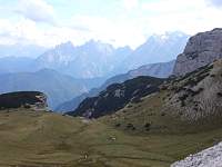
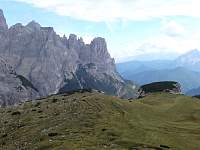
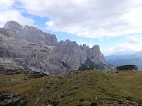
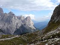
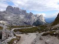
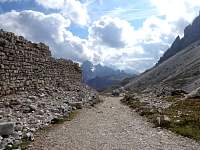
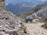
Much of the route I'd walked during the previous hour is visible. Unfortunately, the long and generally pleasant traverse was concluded with an extended, unrelenting ascent. |
2015:09:12 15:32:36 |
2015:09:12 15:32:49 |
2015:09:12 15:32:59 |
2015:09:12 15:33:09 |
2015:09:12 15:41:07 |
2015:09:12 15:41:15 |
2015:09:12 15:45:17 |
2015:09:12 15:45:26 |
2015:09:12 15:45:39 |
2015:09:12 15:46:36 |
2015:09:12 15:48:21 |
2015:09:12 15:48:36 |
2015:09:12 15:49:44 |
2015:09:12 15:50:04 |
2015:09:12 15:50:10 |
2015:09:12 15:50:58 |
2015:09:12 15:51:18 |
2015:09:12 15:57:02
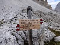
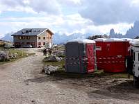
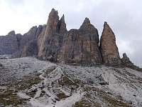
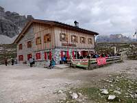
Eventually, I approached Rif. Lavaredo. I presume these portapotties had been delivered to accommodate the teeming masses that would arrive the following day for the 'hands-around-the-mountain' event. |
2015:09:12 16:01:01 |
2015:09:12 16:01:06 |
2015:09:12 16:01:14 |
2015:09:12 16:01:25 |
2015:09:12 16:01:54 |
2015:09:12 16:02:12 |
2015:09:12 16:09:39 |
2015:09:12 16:09:45 |
2015:09:12 16:10:16 |
2015:09:12 16:10:52 |
2015:09:12 16:11:46 |
2015:09:12 16:12:03
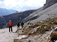
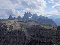
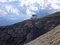
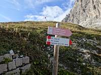
From Rif. Lavaredo, it was basically a flat highway of a walk back to Rif. Auronzo. |
2015:09:12 16:19:37 |
2015:09:12 16:19:53 |
2015:09:12 16:23:49 |
2015:09:12 16:24:00
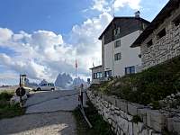
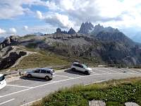
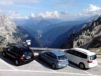
I arrived at Rif. Auronzo at about 4:25, in plenty of time to catch my 4:50 bus to Cortina. |
2015:09:12 16:24:51 |
2015:09:12 16:25:00 |
2015:09:12 17:20:15
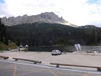
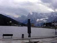
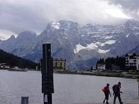
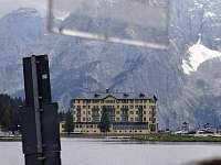
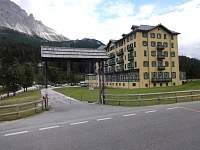
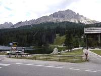
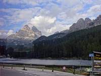
Riding back on the bus, we passed scenic Lake Misurina. |
2015:09:12 17:20:25 |
2015:09:12 17:20:34 |
2015:09:12 17:20:43 |
2015:09:12 17:21:03 |
2015:09:12 17:21:41 |
2015:09:12 17:23:31 |
2015:09:12 17:23:43 |
2015:09:12 17:23:55
Looking back at the Tre Cime, on the left, from Lake Misurina. |
|
|
|
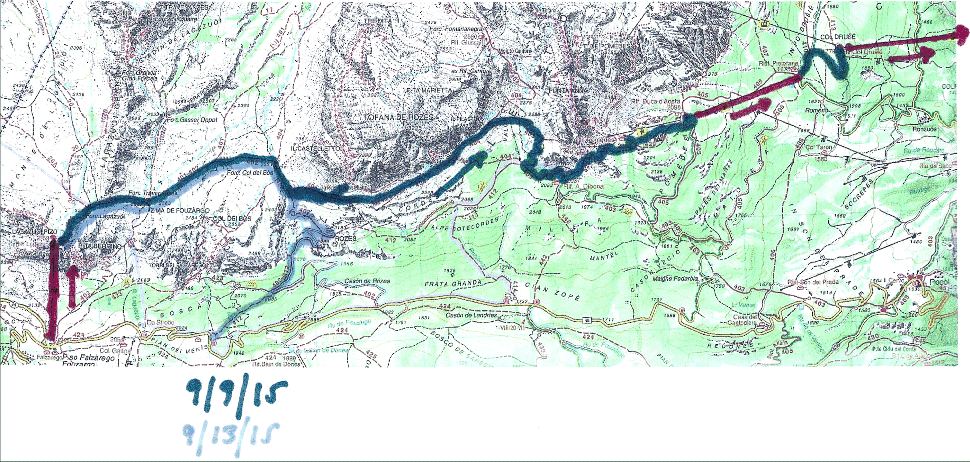
September 13, 2015 – Lift from Falzarego Pass to Laguzoi Hut. Hike Alta Via 1, repeating September 9 route. Forecast rain beginning. Adopt direct route down.
|
|
|
2015:09:13 11:21:57
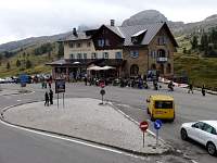
The Falzarego Pass tourist trap on a gloomy weather day. |
2015:09:13 11:22:12 |
2015:09:13 11:28:37
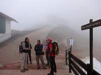
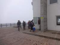
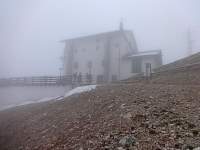
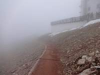
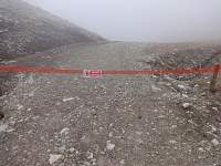
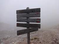
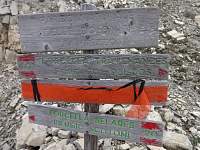
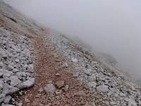
When I arrived at the top of the lift, below Rifugio Laguzoi, I was in cloud. |
2015:09:13 11:28:43 |
2015:09:13 11:28:48 |
2015:09:13 11:30:03 |
2015:09:13 11:30:09 |
2015:09:13 11:46:27 |
2015:09:13 11:47:21 |
2015:09:13 11:48:34 |
2015:09:13 11:52:45
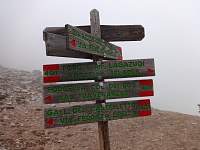
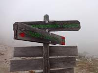
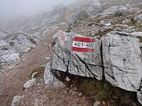
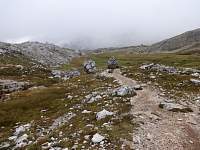
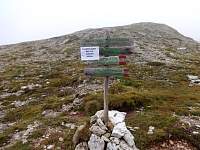
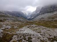
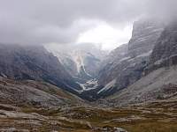
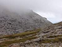
I had hiked this route just four days previous, but in the dense cloud, it felt disconcertingly unfamiliar. |
2015:09:13 12:00:30 |
2015:09:13 12:00:42 |
2015:09:13 12:00:59 |
2015:09:13 12:01:32 |
2015:09:13 12:15:38 |
2015:09:13 12:18:15 |
2015:09:13 12:27:22 |
2015:09:13 12:27:30 |
2015:09:13 12:27:39 |
2015:09:13 12:34:00
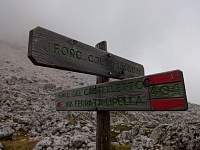
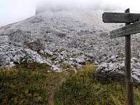
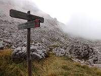
I reached the spot where I had taken the turn onto the 404, supposedly part of the Alta Via 1, on Wednesday, only to find terrifying exposed sections of 'trail'. It was starting to sprinkle with a forecast of rain. |
2015:09:13 12:34:59
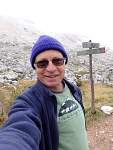
My intention had been to repeat my Wednesday hike, but this time to be certain not to stray from the trail, and at the first scary spot on the should-definitely-be-safe-for-tourists Alta Via 1, to turn around and go down the easy way. |
2015:09:13 12:35:13
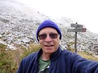
But with it starting to rain, and thoughts of slippery wet rocks in steep environments, I abandoned my plan and figured I would try to head down and catch the 1:20 bus. |
2015:09:13 12:35:30 |
2015:09:13 12:35:35 |
2015:09:13 12:38:19
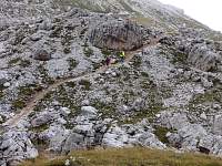
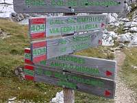
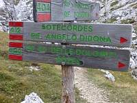
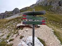
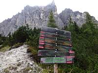
A few minutes farther along, I saw a much better worn trail, with a newer sign that ALSO pointed to 'Trail 404'. There were TWO 'Trail 404' routes and I had taken the wrong one on Wednesday?!! |
2015:09:13 12:38:43
Maybe I should have followed the couple up the 404 to complete my planned exploration, but it might have included some exposed stretches - made slippery by rain?! |
2015:09:13 12:38:50
And if I followed through with it and finished the hike, I might have to wait beside the road in the rain for (an extended period? for) the 4:10 bus, which was the next one after the 1:20 bus. |
2015:09:13 12:41:21
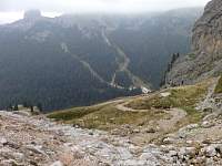
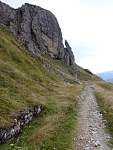
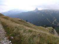
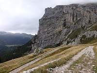
So I started down the trail toward the road - and I hoped I would get there in time for the 1:20 bus. |
2015:09:13 12:46:24 |
2015:09:13 12:46:32 |
2015:09:13 12:49:16 |
2015:09:13 12:51:10 |
2015:09:13 12:54:28 |
2015:09:13 12:54:33 |
2015:09:13 12:54:38 |
2015:09:13 12:59:40 |
2015:09:13 12:59:48
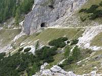
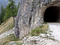
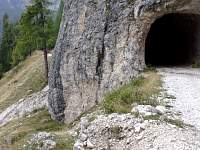
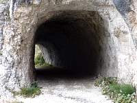
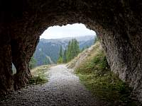
The trail led through this tunnel. |
2015:09:13 13:03:28 |
2015:09:13 13:03:33 |
2015:09:13 13:03:48 |
2015:09:13 13:04:16 |
2015:09:13 13:08:39 |
2015:09:13 13:25:54 |
2015:09:13 13:26:10
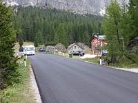
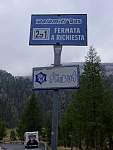
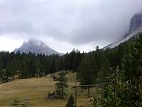
I arrived at the bus stop at 1:16. It took the 1:20 bus out of Passo Falzarego about 10 minutes to reach me. |
2015:09:13 13:26:22 |
2015:09:13 14:50:19
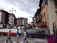
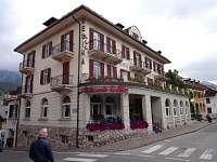
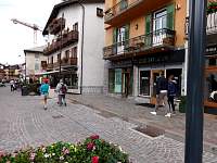
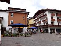
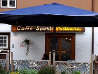
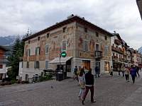
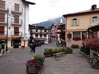
A few miscellaneous photos of Cortina... |
2015:09:13 14:50:46
Hotel Regina. |
2015:09:13 14:51:08 |
2015:09:13 14:52:55 |
2015:09:13 14:53:04 |
2015:09:13 15:47:09 |
2015:09:13 15:47:15 |
2015:09:13 15:47:43 |
2015:09:13 16:19:03 |
2015:09:13 16:22:46 |
2015:09:13 16:35:51 |
2015:09:13 16:36:06 |
2015:09:13 16:40:26 |
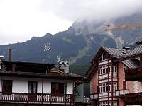
2015:09:13 16:40:37 |
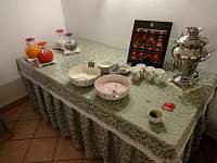
2015:09:14 08:08:55
Breakfast at Hotel Regina. |
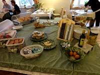
2015:09:14 08:09:08 |
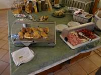
2015:09:14 08:09:22 |
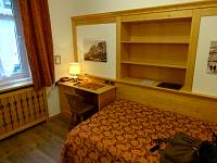
2015:09:14 09:47:22
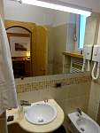
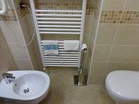
My room at Hotel Regina. |
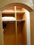
2015:09:14 09:47:34
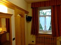
I appreciated the curved arches over the doors. |
2015:09:14 09:47:47 |
2015:09:14 09:48:21 |
2015:09:14 09:48:38 |
2015:09:14 09:48:52 |
2015:09:14 10:50:32
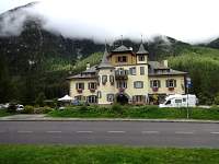
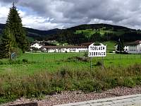
Interesting building on the way to Dobbiaco/Toblach. A moment before, someone's profile was picturesquely visible in one of the top windows. My camera wasn't fast enough... |
2015:09:14 11:13:11 |
2015:09:14 11:13:32 |
2015:09:14 11:15:05 |
2015:09:14 12:39:21
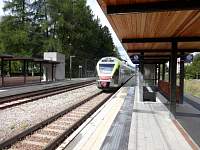
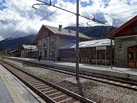
I rode the modern train to Fortezza, where I waited for the late, earlier-vintage train to Verona. There I changed trains to travel to Brescia. |
2015:09:14 12:44:15 |
2015:09:15 08:10:01
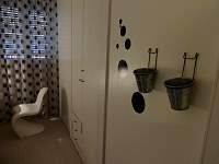
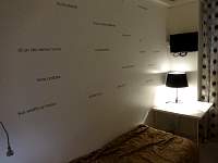
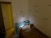
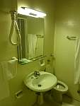
I had reserved a cheap room near the train station. The cozy closet I was given was compact but adequate. |
2015:09:15 08:10:14 |
2015:09:15 08:10:24 |
2015:09:15 08:10:33 |
Brescia, at least the part near the train station, seemed tired, depressed, and somewhat slummy. But it provided a fine stopover point before travel to the Milan airport the next morning.
|
I caught the (late) 8:25 AM train to Lambrate station in Milan, which saved the time and additional logistics of travel to the center of the city.
|
A 10-minute cab ride (12.50 euros) brought me to Linate airport in plenty of time for my flight back to the States. |
|


