White Mountains, NH - Hikes and Views October, 2015
October 2 – Mt. Pemi.
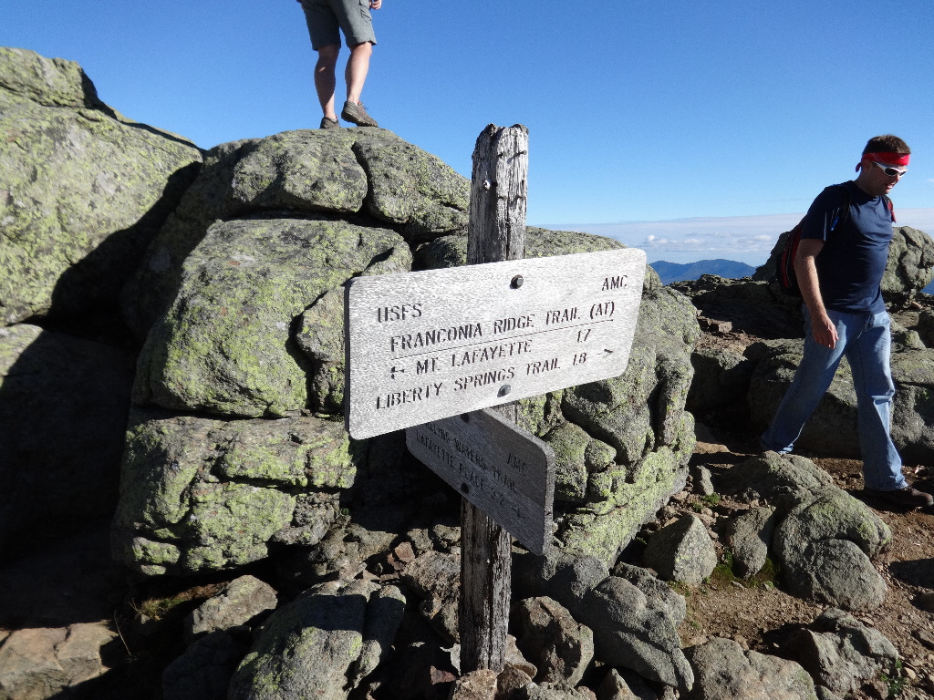
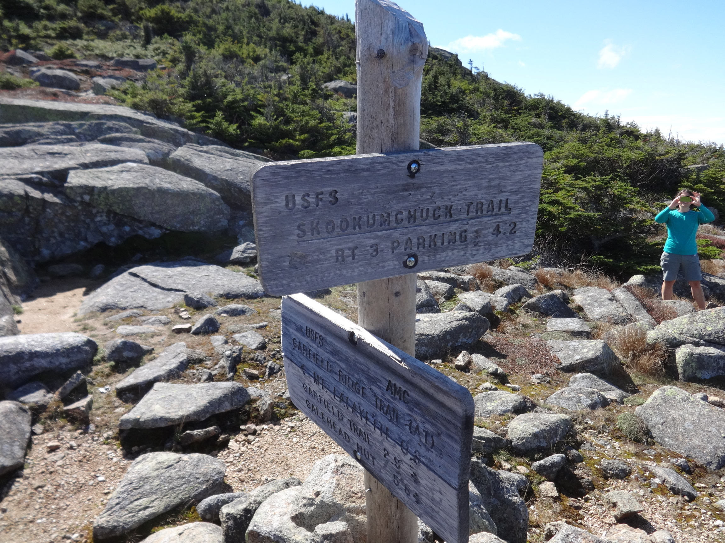
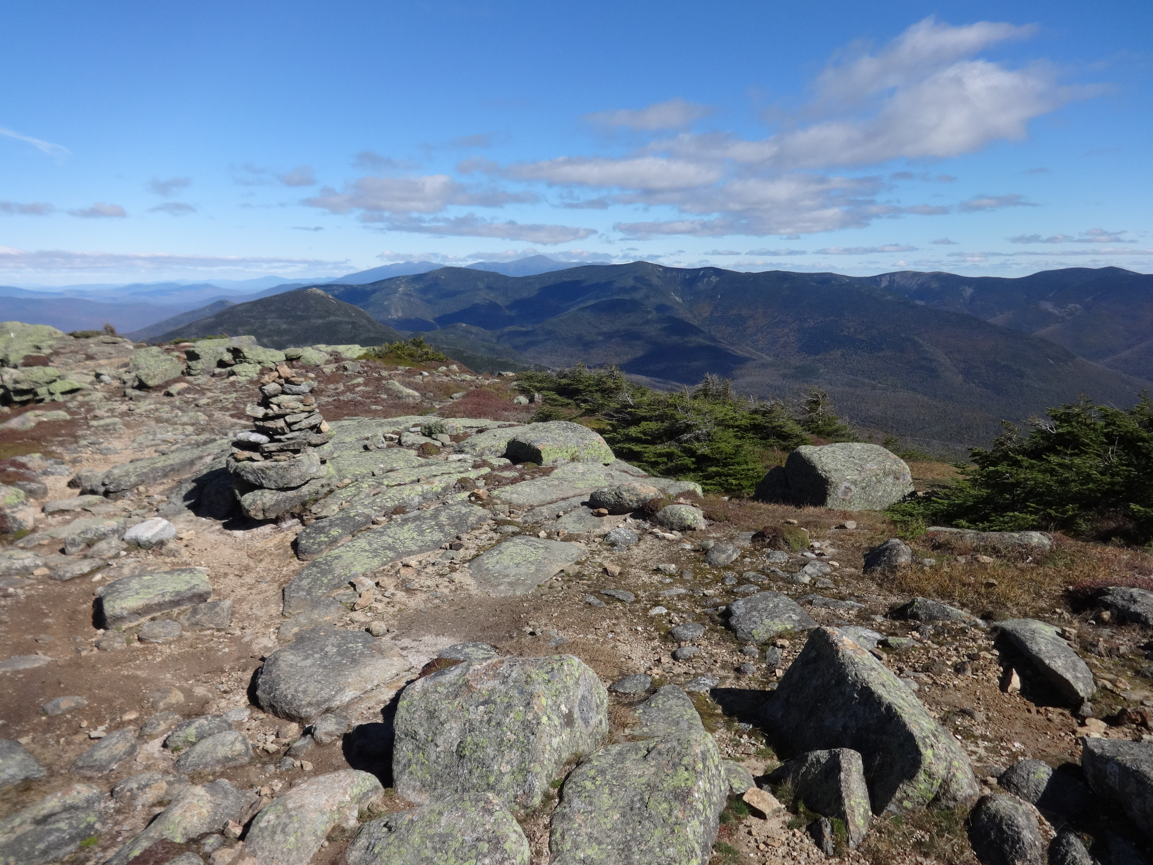
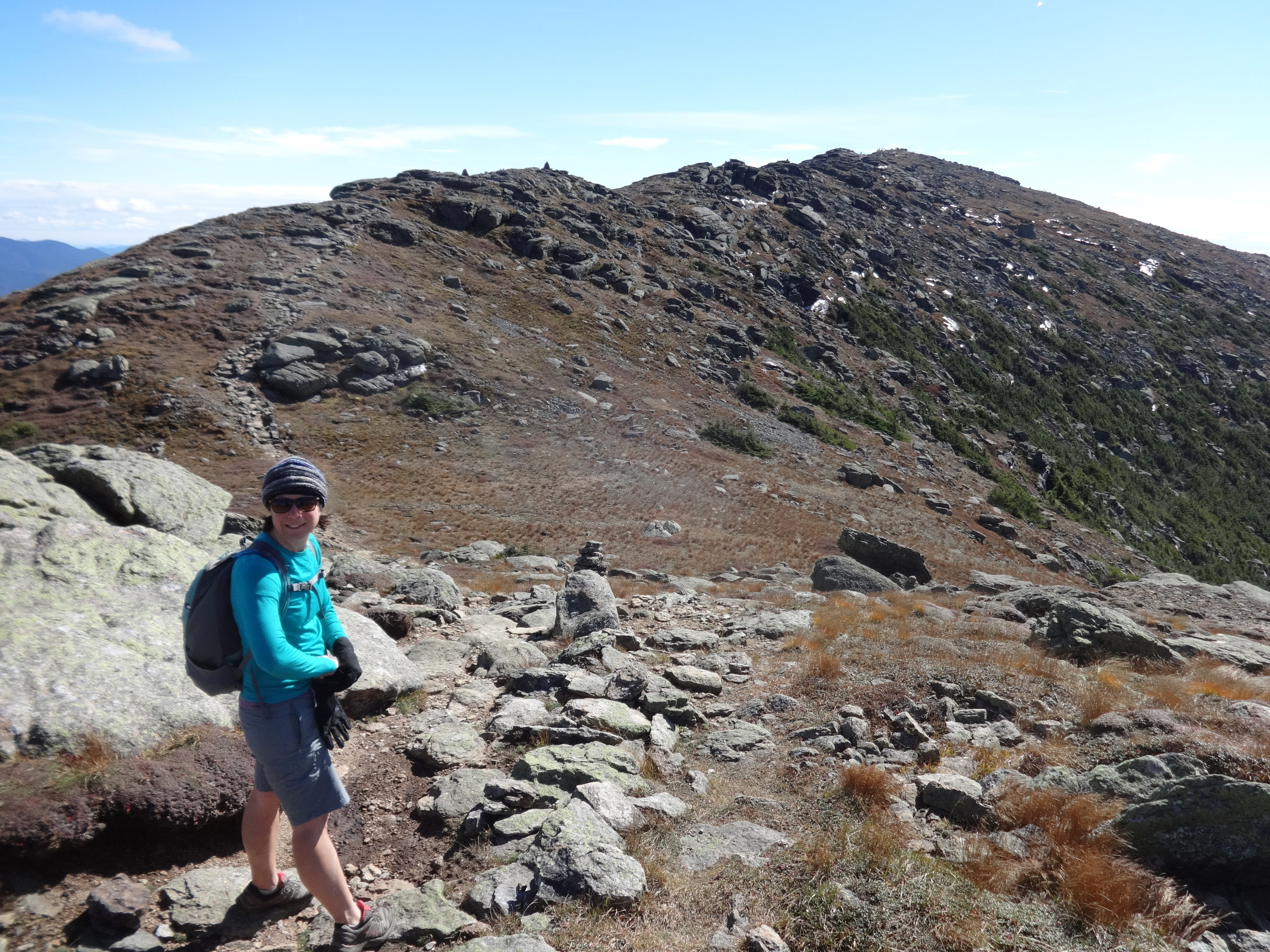
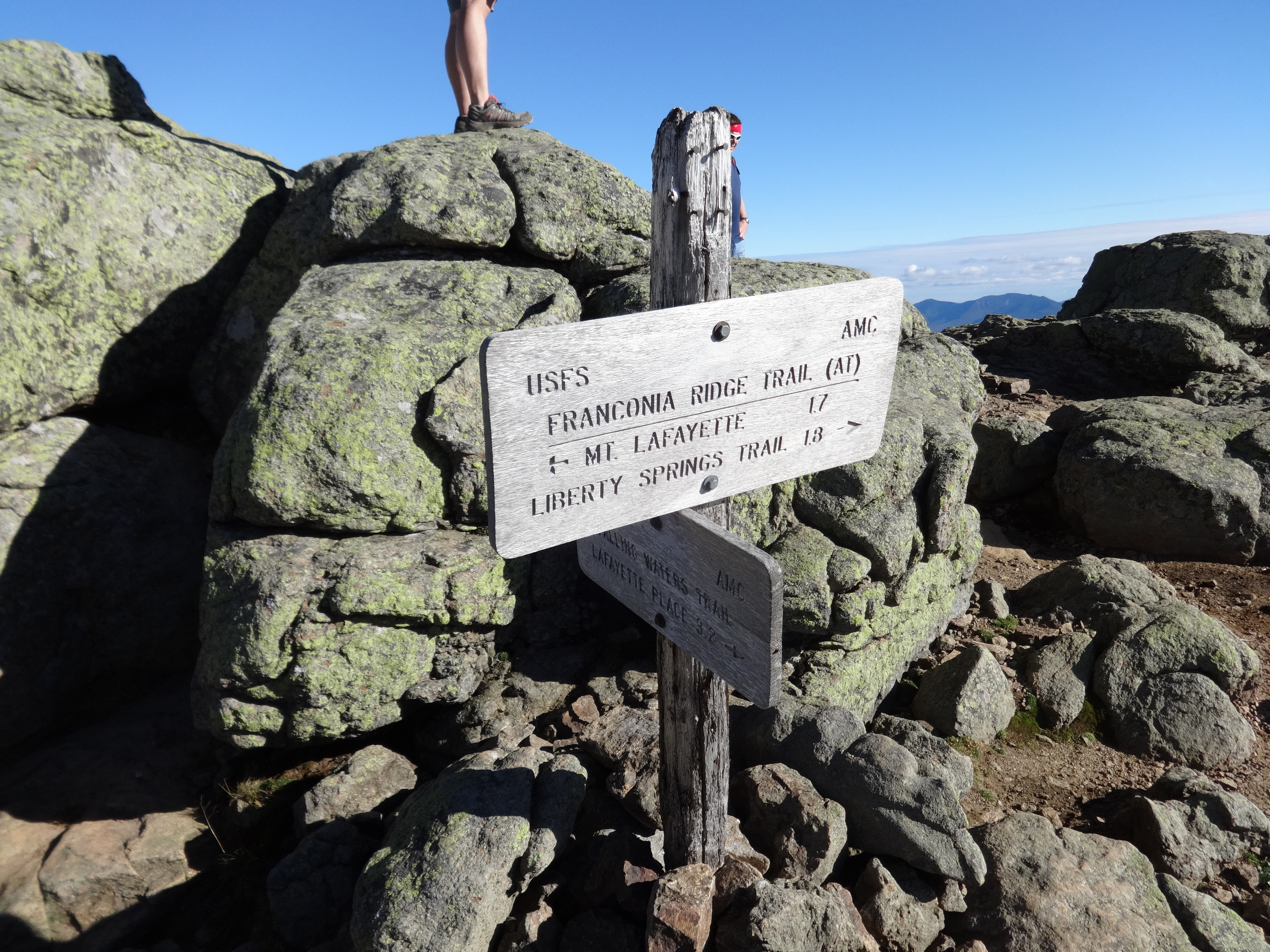
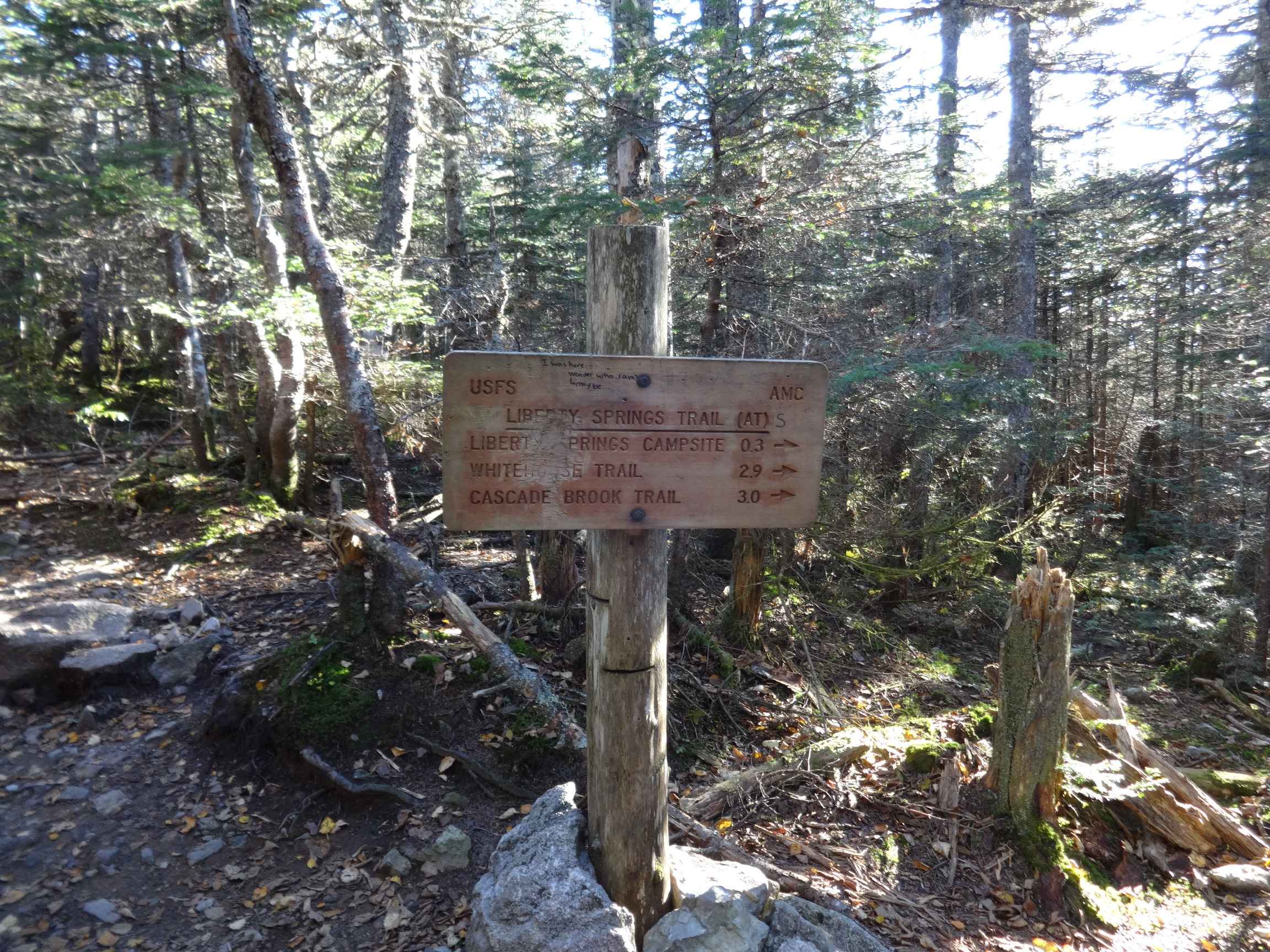
October 3 – Skookumchuck Trail to Franconia Ridge Trail to Lafayette, Lincoln, Little Haystack, and Liberty. Down Liberty Spring Trail (AT).
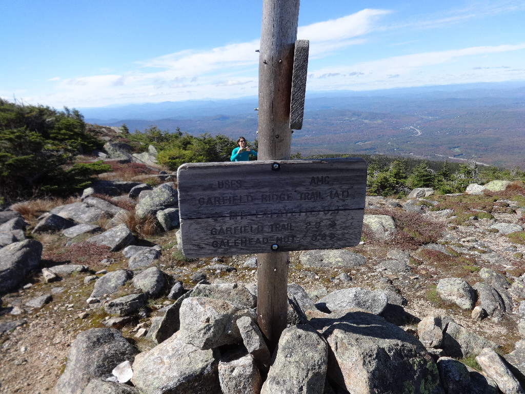
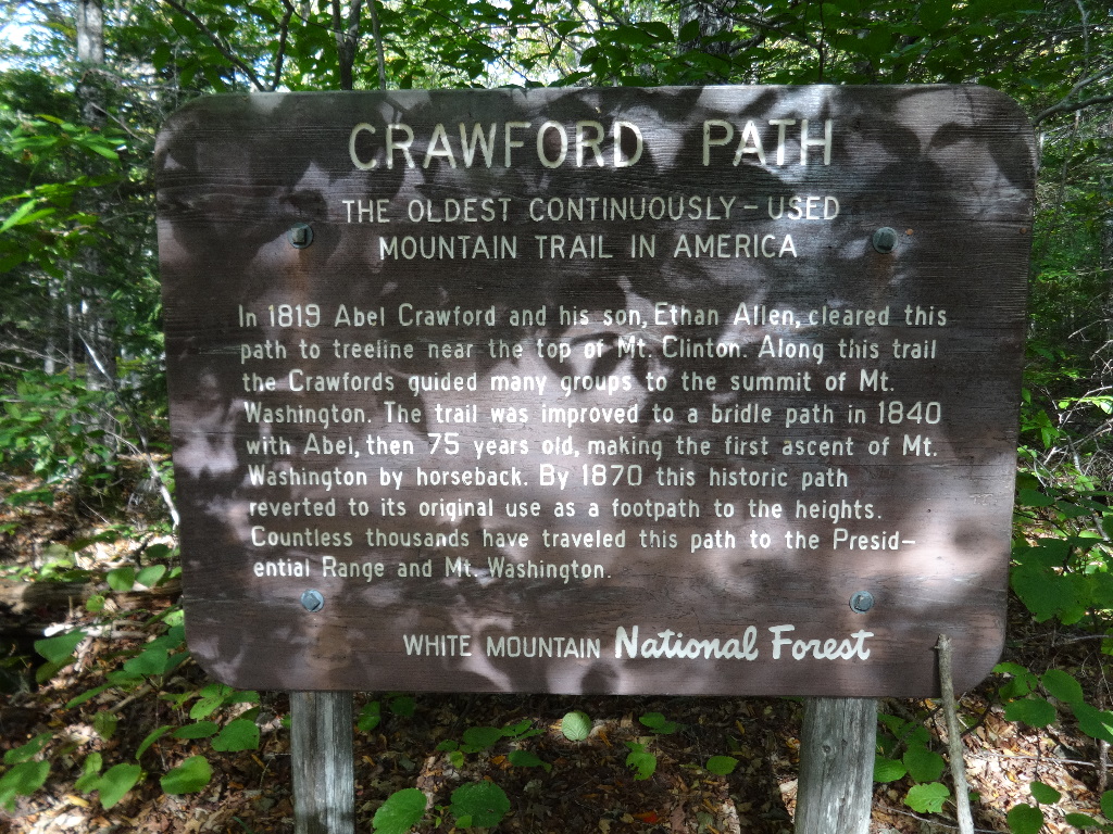
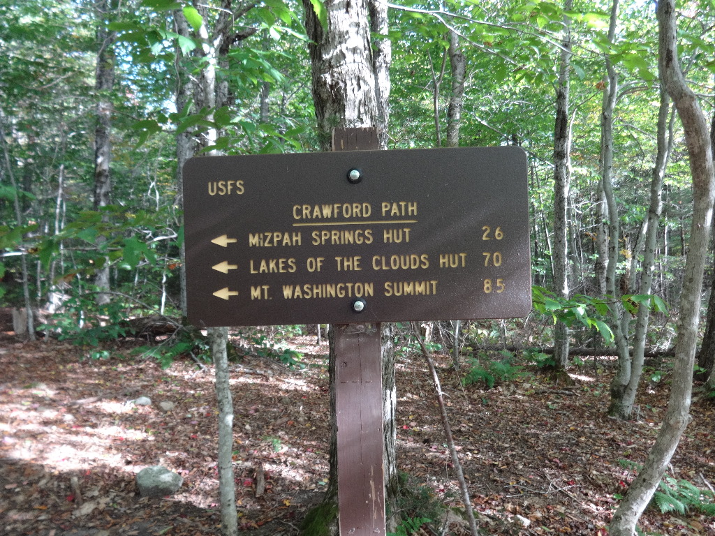
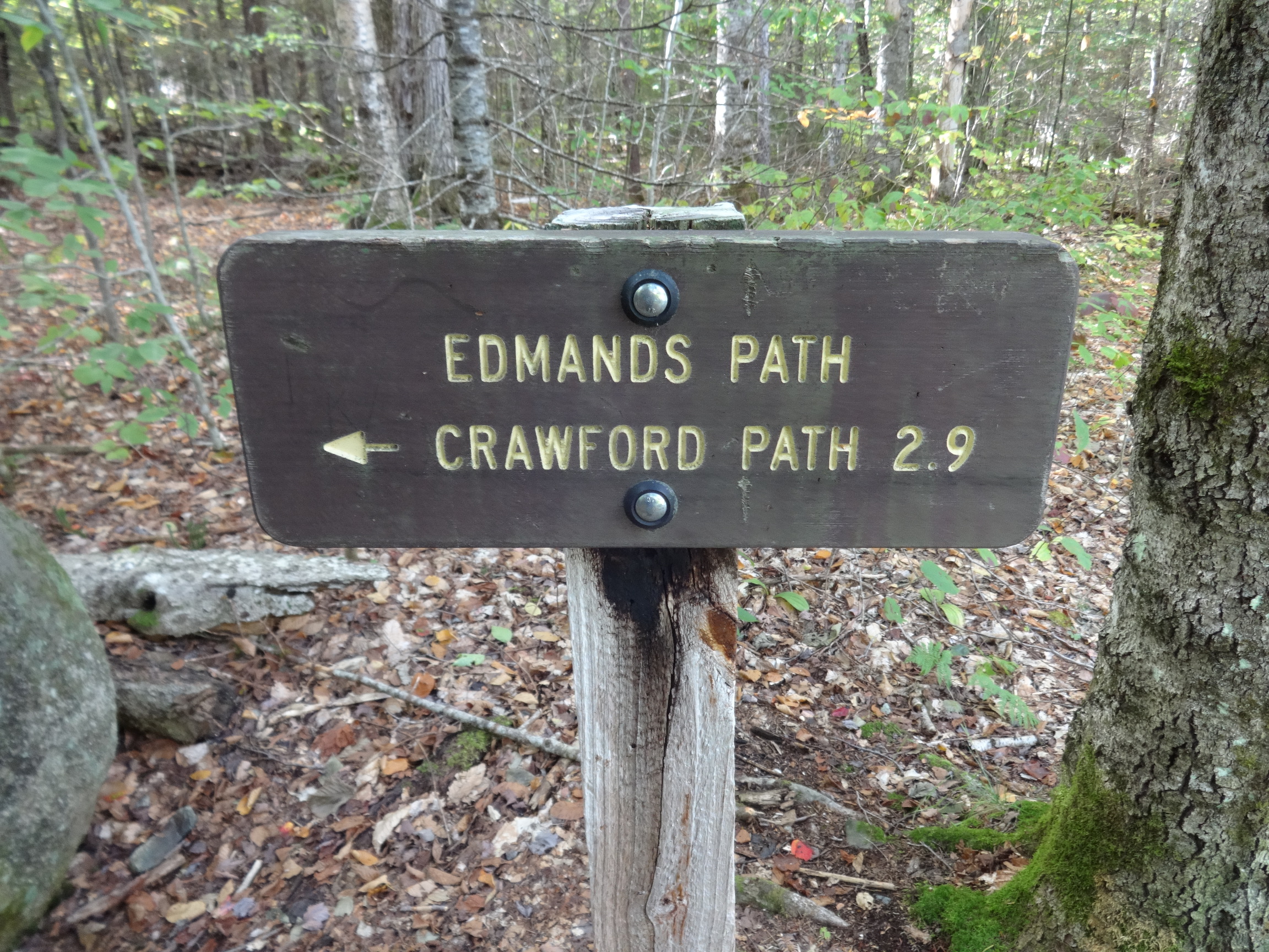
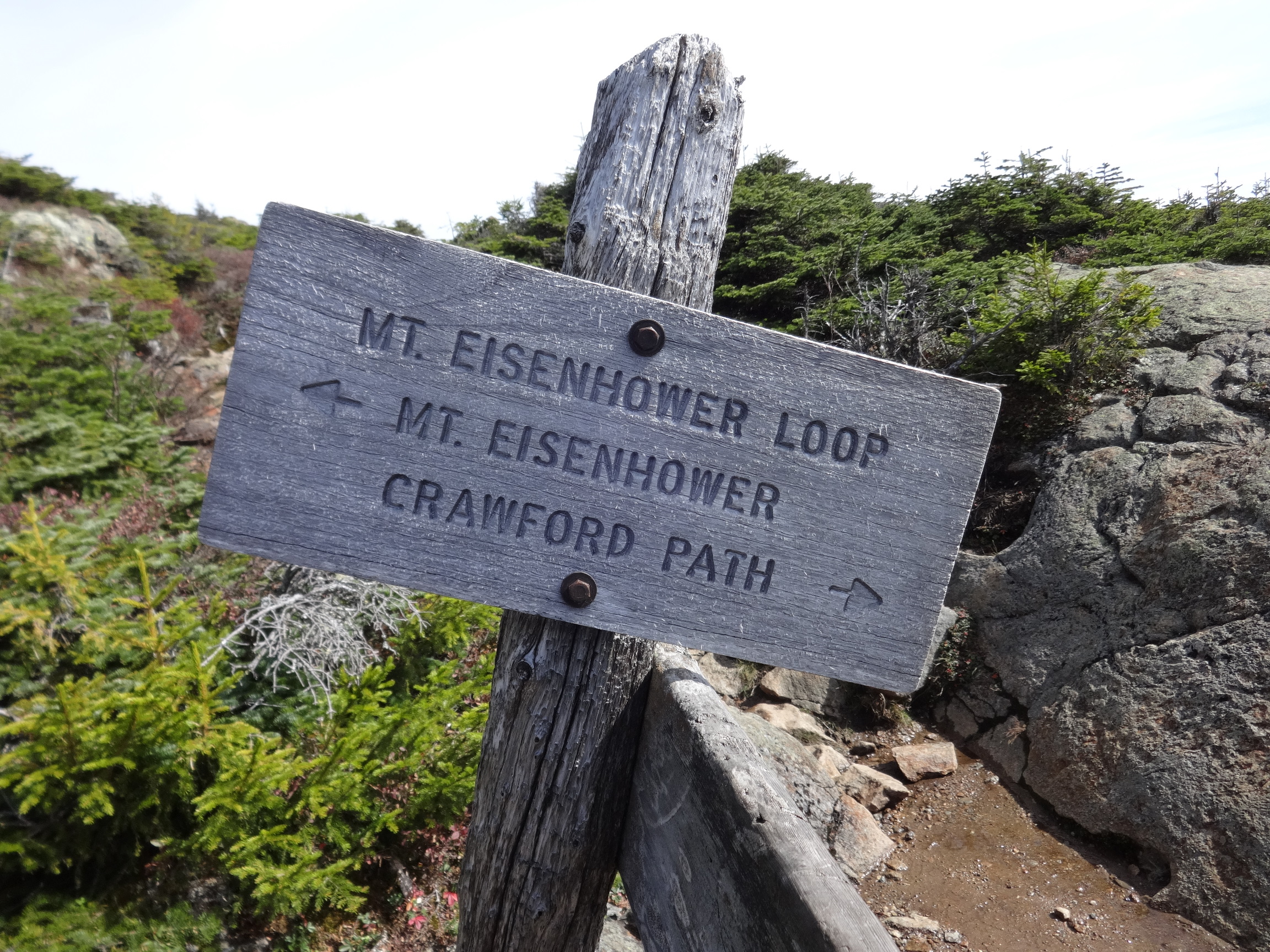
October 4 – Up Edmands Path to Mt Eisenhower. Crawford Path to Mt Pierce. Down Crawford Path.
October 2 – Mt. Pemi. Large photos.
October 3 – Skookumchuck Trail to Franconia Ridge Trail to Lafayette, Lincoln, Little Haystack, and Liberty. Down Liberty Spring Trail (AT). Large photos.
October 4 – Up Edmands Path to Mt Eisenhower. Crawford Path to Mt Pierce. Down Crawford Path. Large photos.
October 2 – Mt. Pemi.
2015:10:02 18:09:01
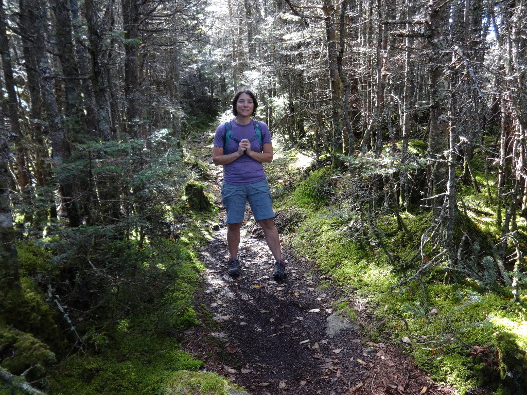
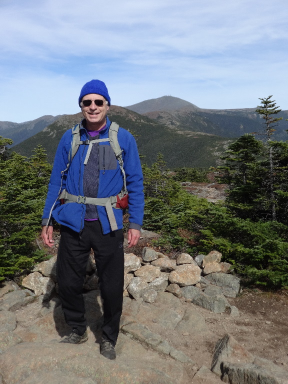
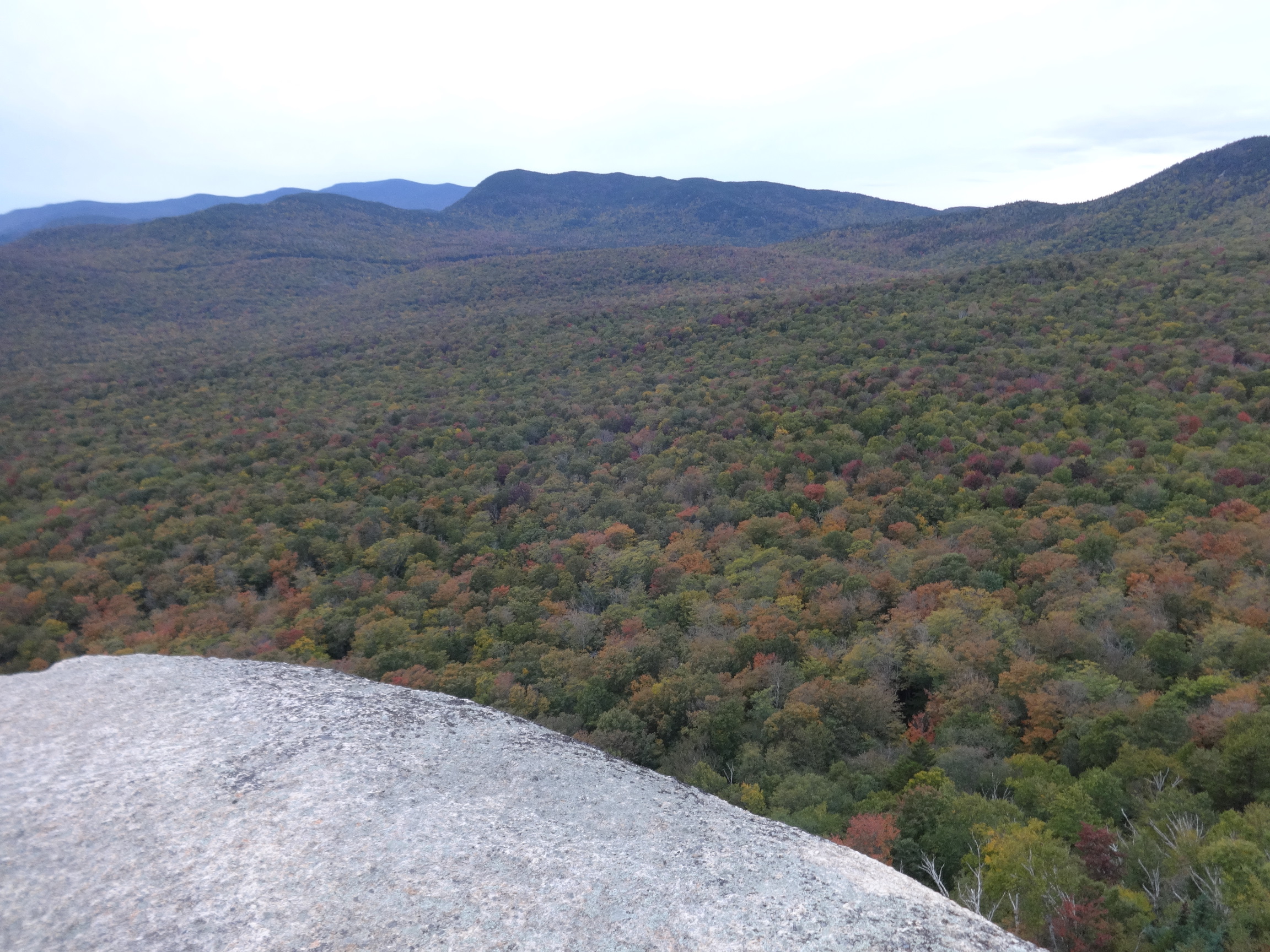
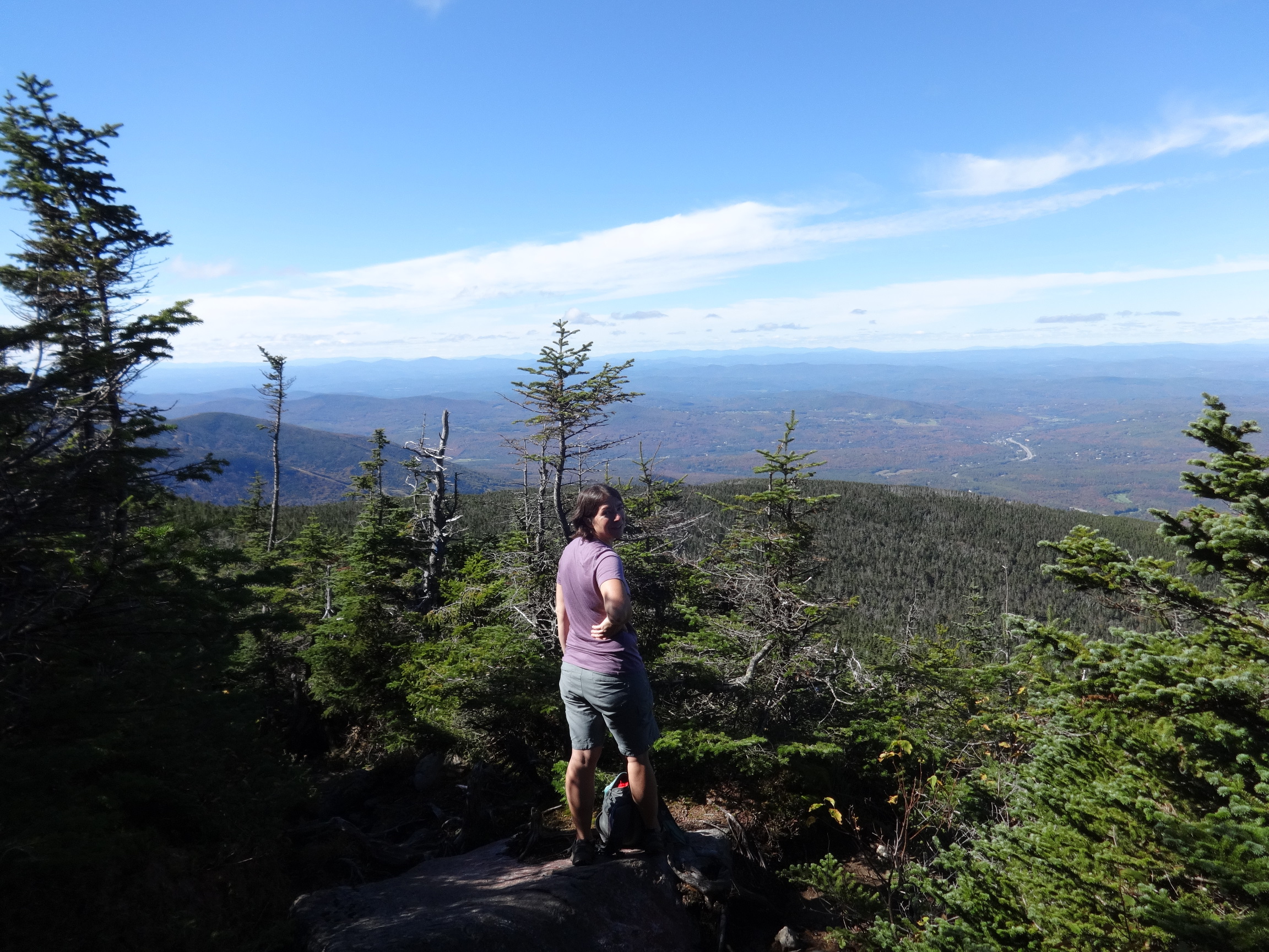
Arriving late, I did not have time (daylight) for anything ambitious. In August, my friend Jen and I had hiked the traverse up Indian Head Trail to Mt. Pemi/Indian Head and down the Mt. Pemi Trail.

2015:10:02 18:09:16
The Mt. Pemi trail seemed much better marked and maintained. So this time I just hiked an out-and-back on the Mt. Pemi Trail from the Flume Visitors Center parking lot.

2015:10:02 18:09:30

2015:10:02 18:10:14
2015:10:02 18:10:26
2015:10:02 18:10:32
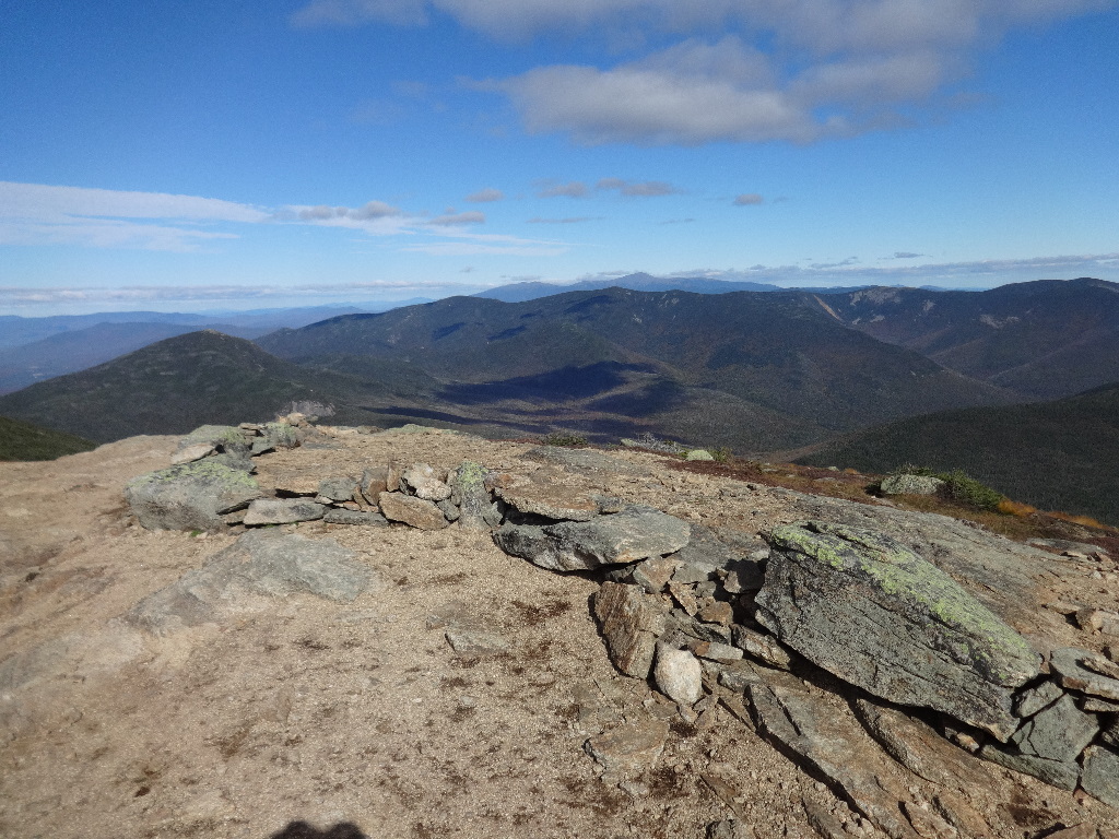
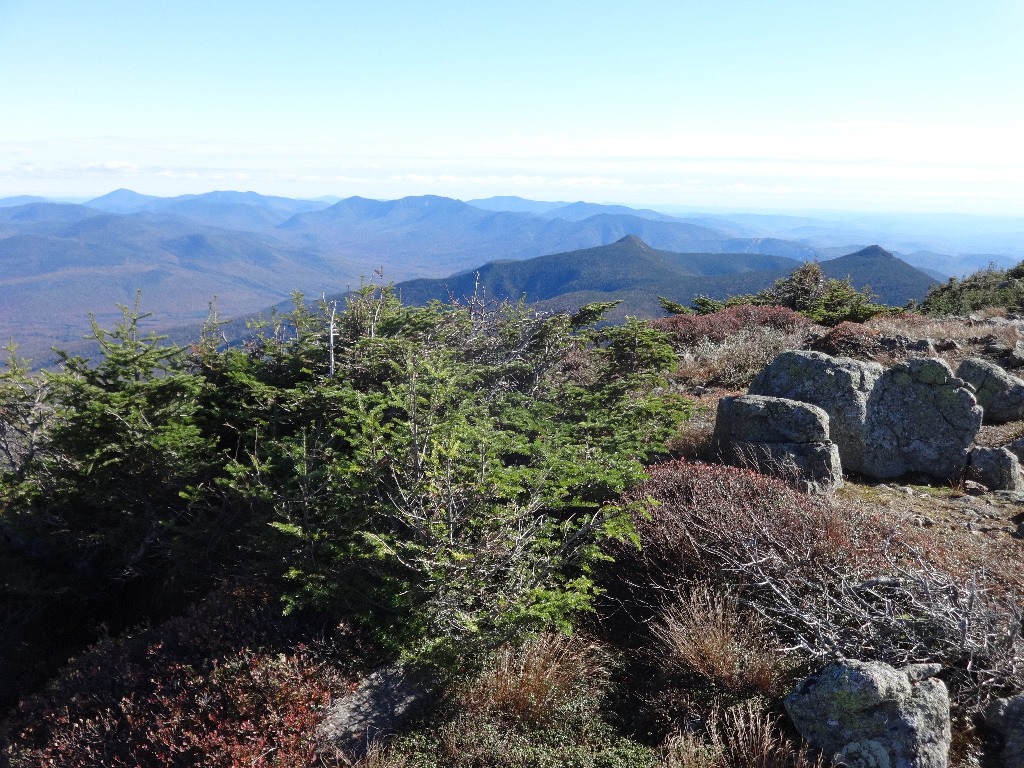
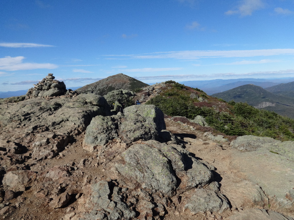
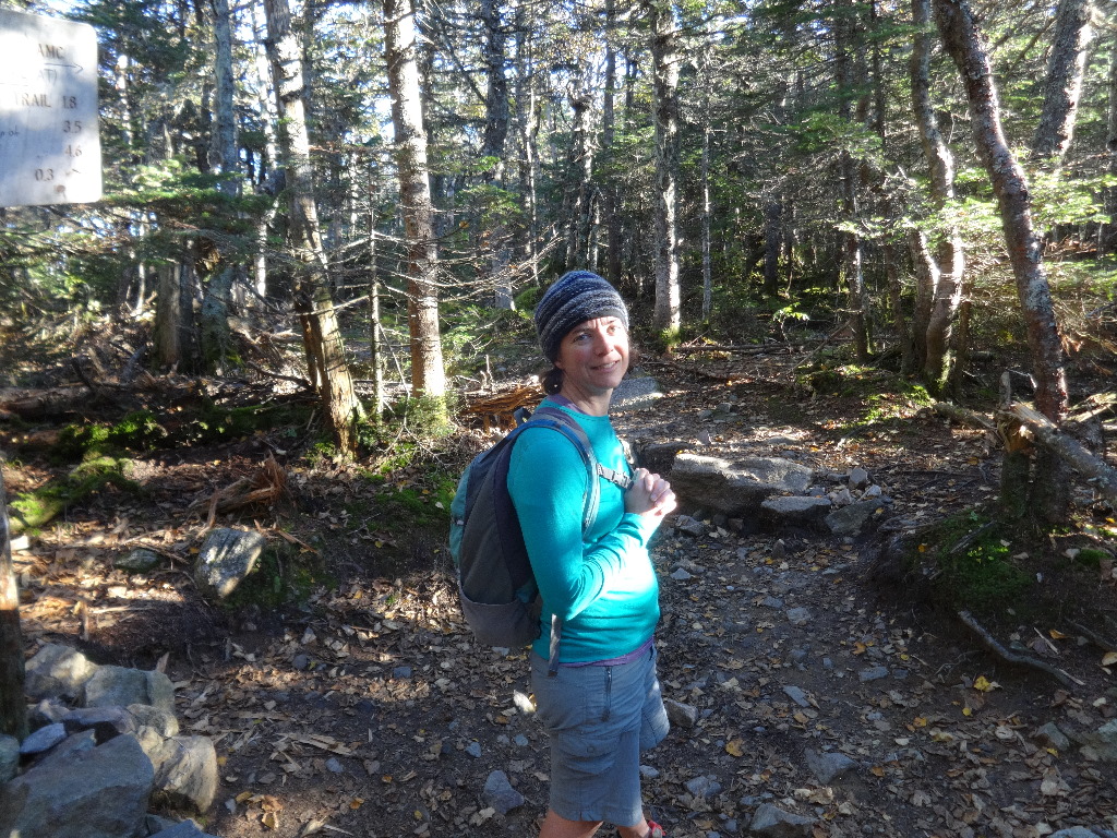
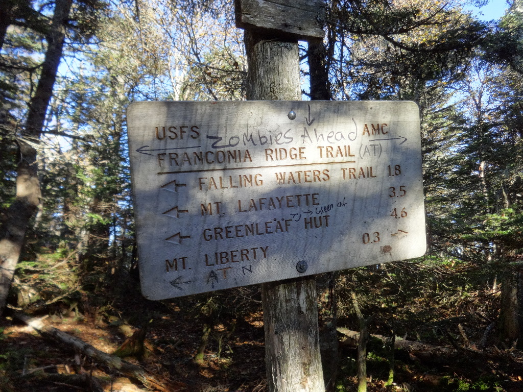
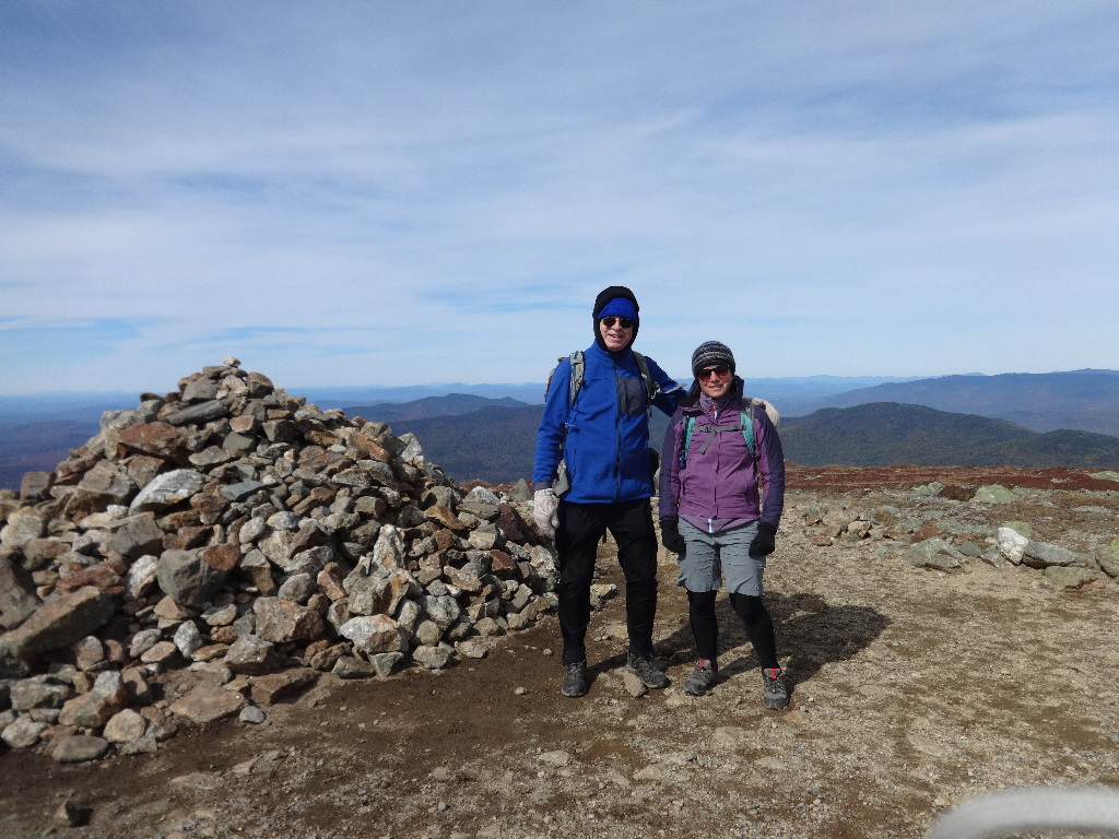
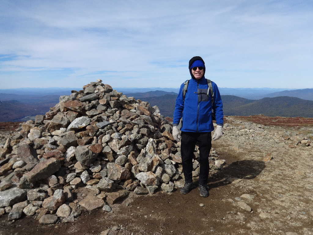
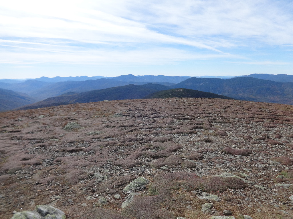
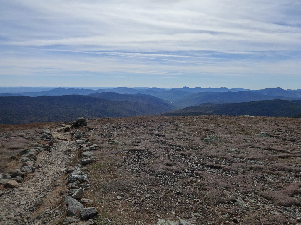
October 3 – Skookumchuck Trail to Franconia Ridge Trail to Lafayette, Lincoln, Little Haystack, and Liberty. Down Liberty Spring Trail (AT).
2015:10:03 12:46:05
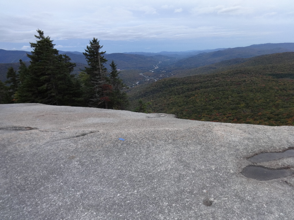
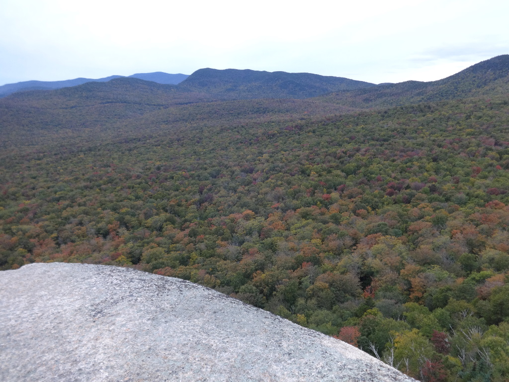
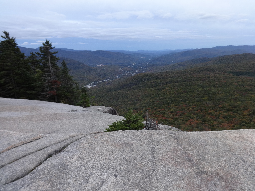
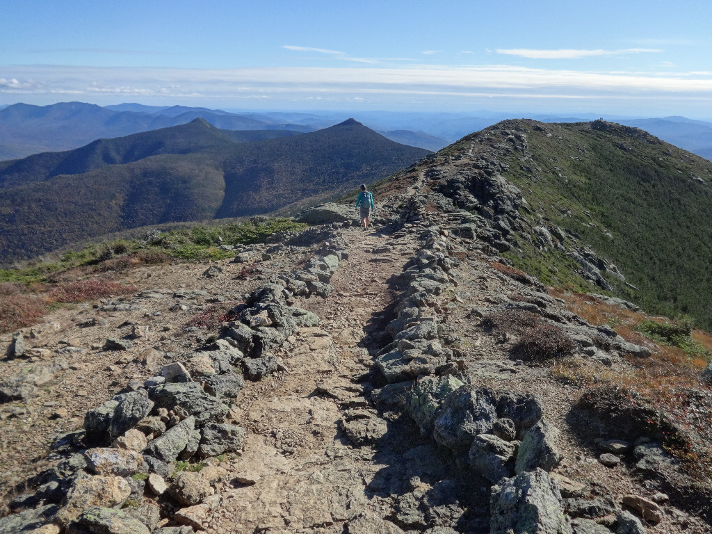
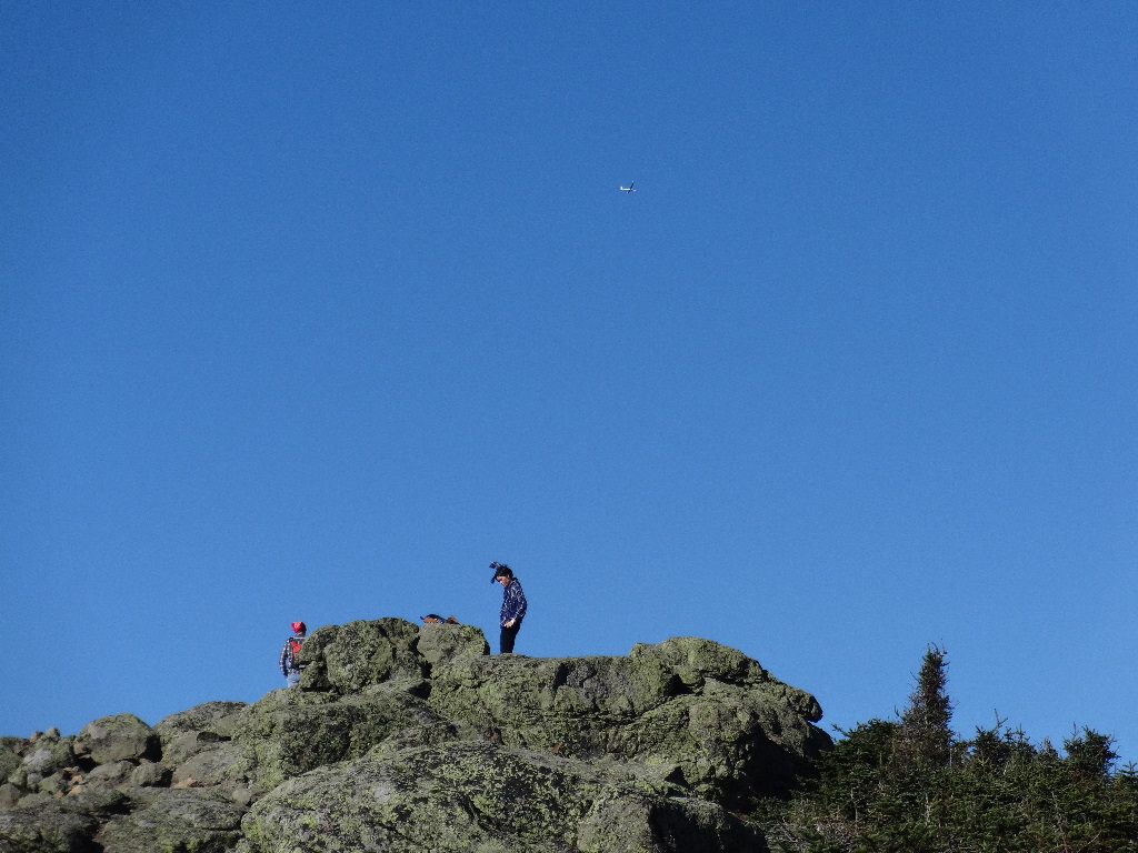
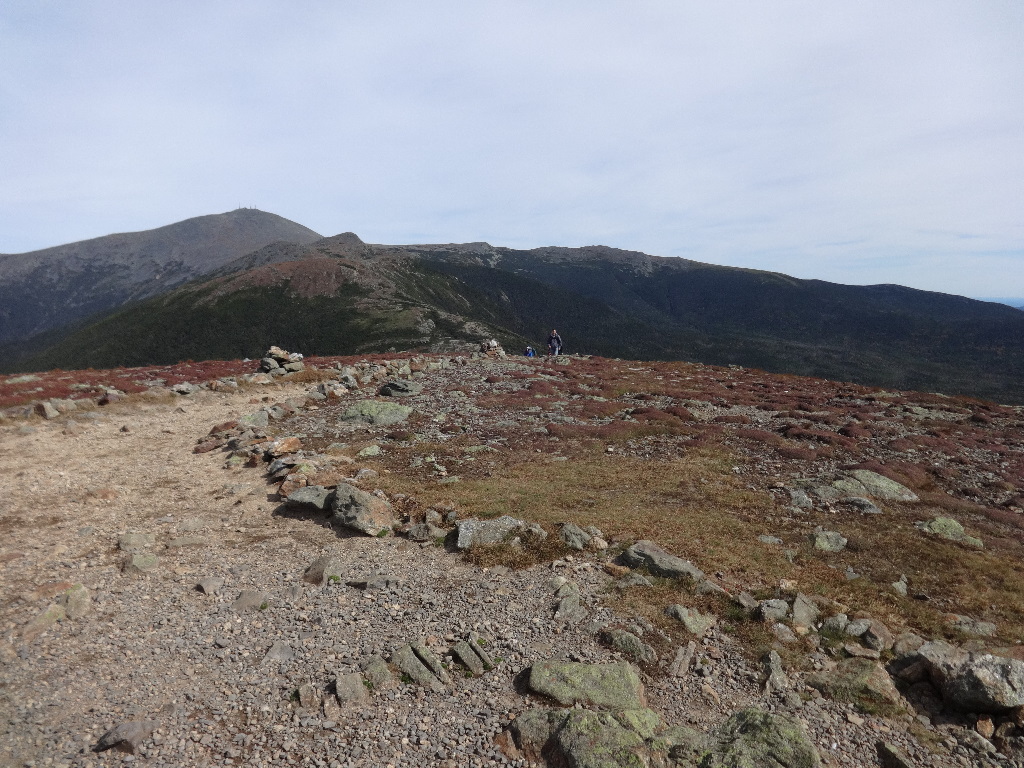
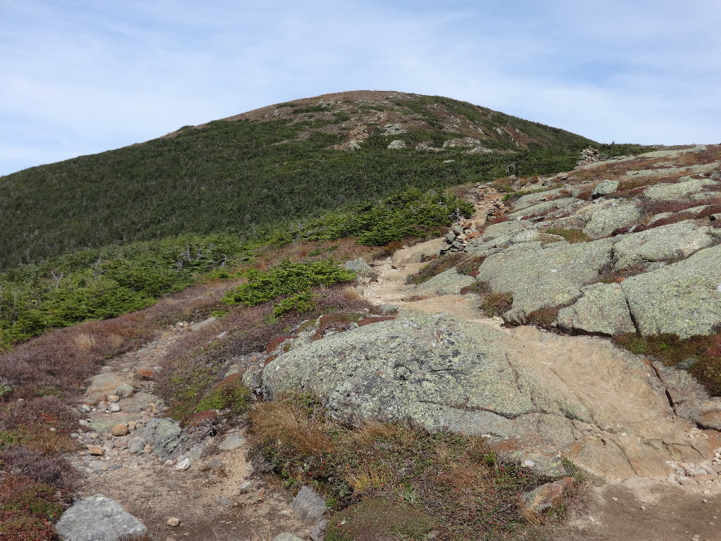
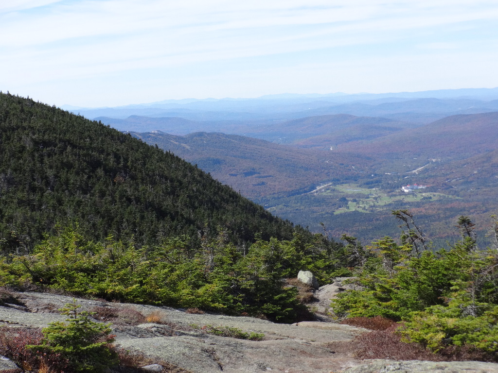
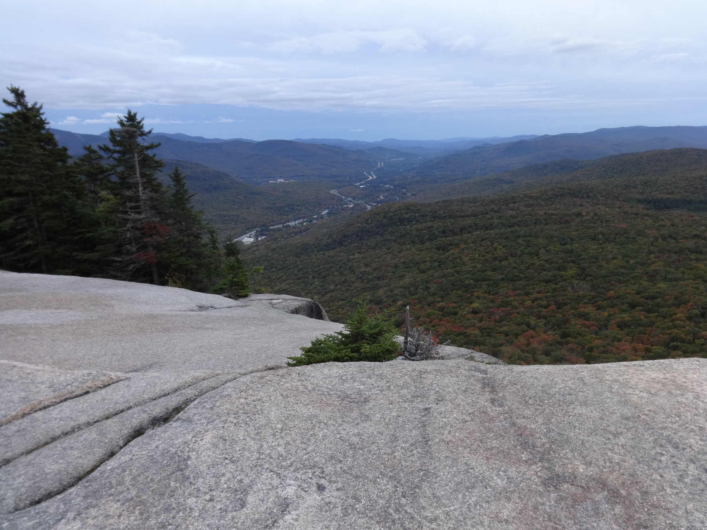
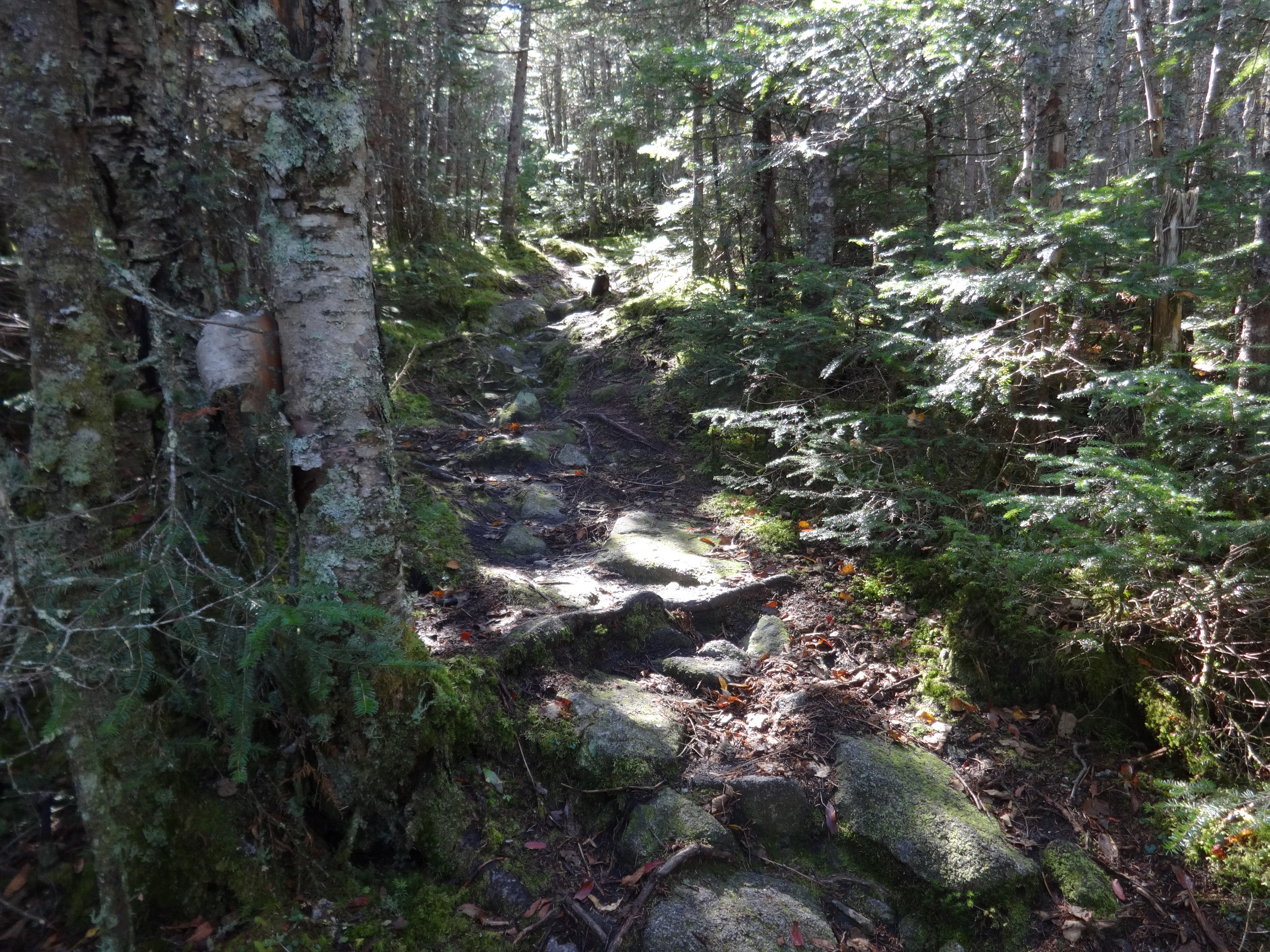
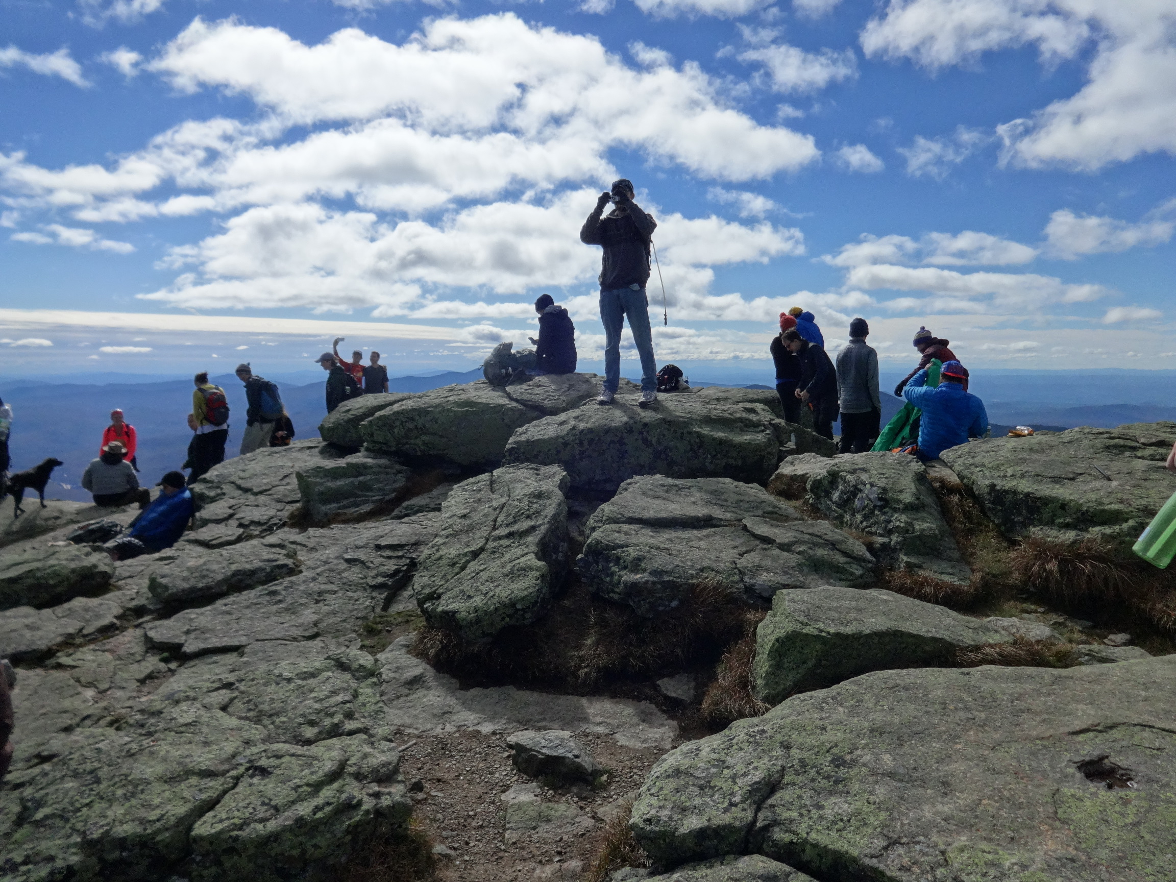
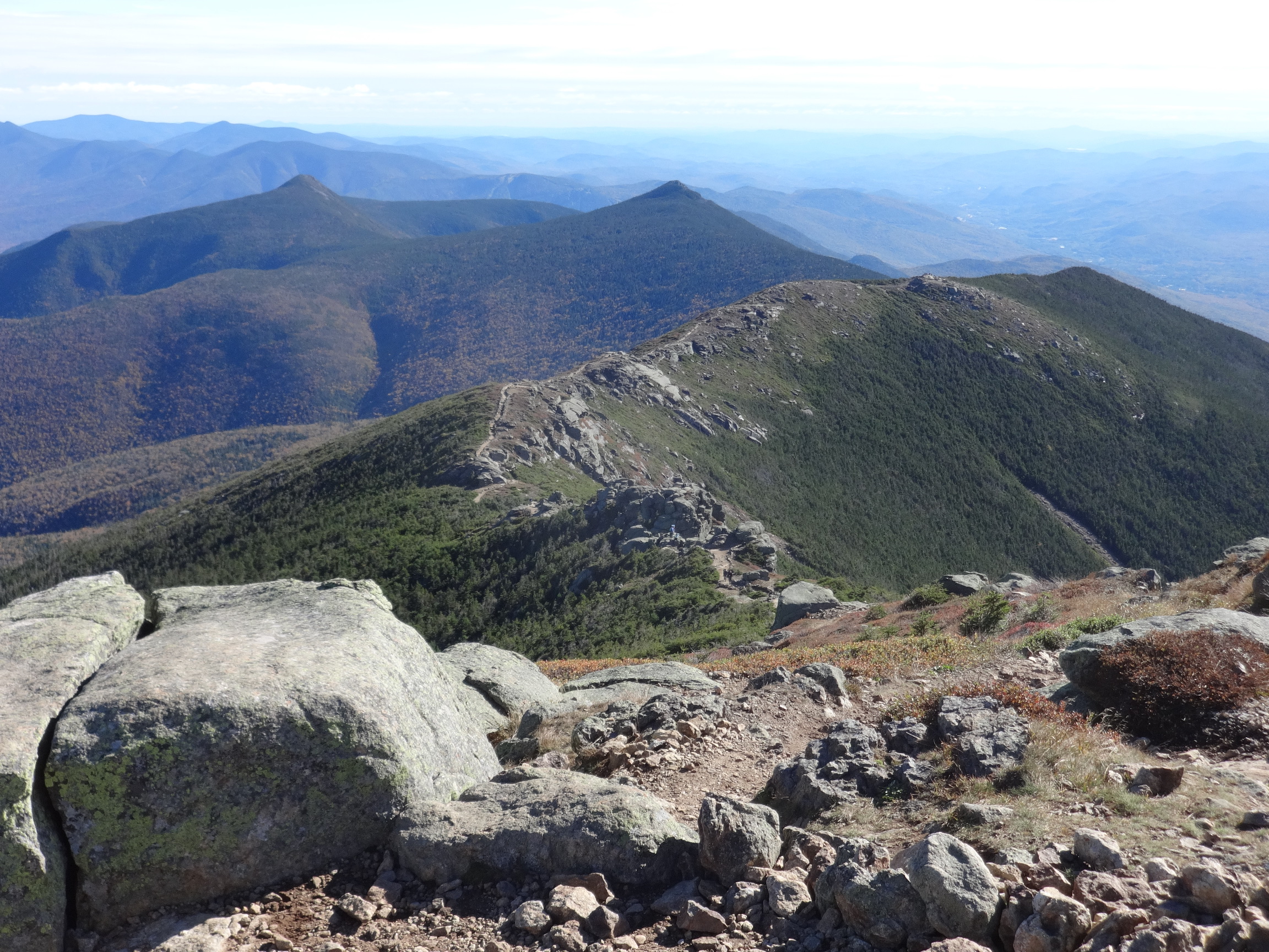
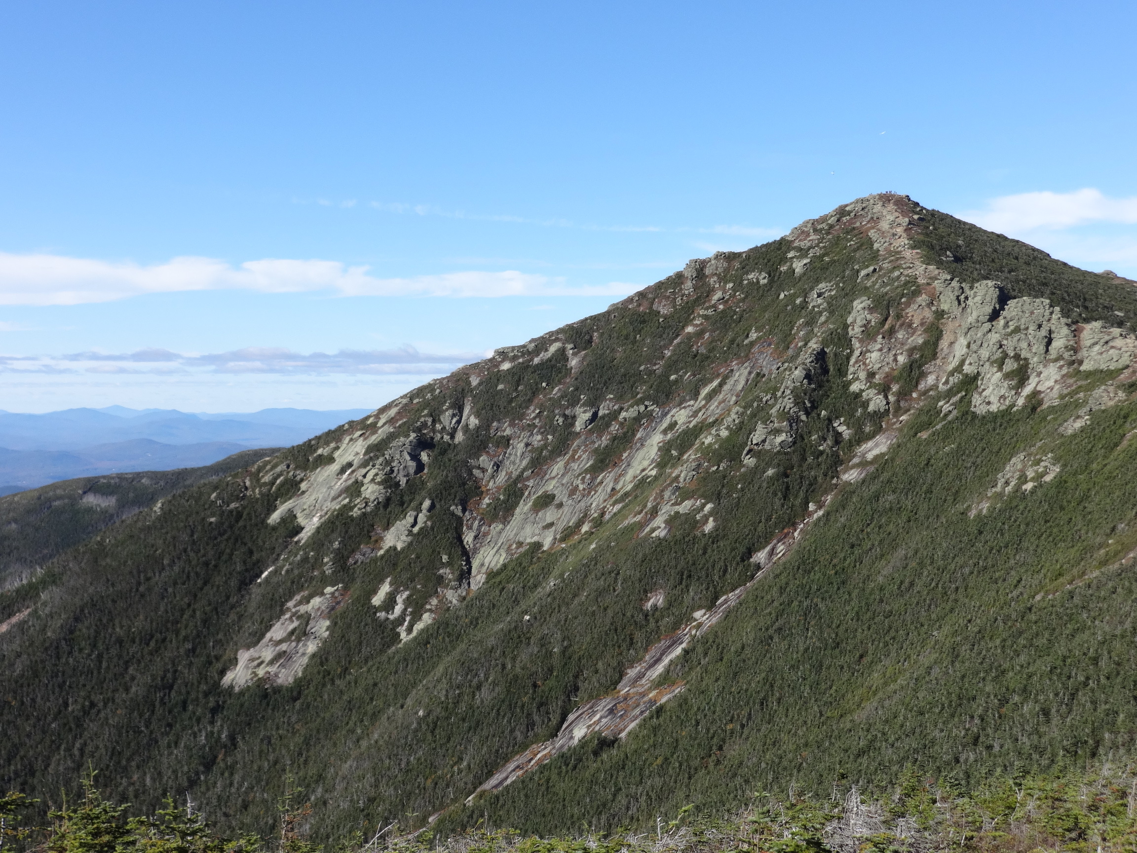
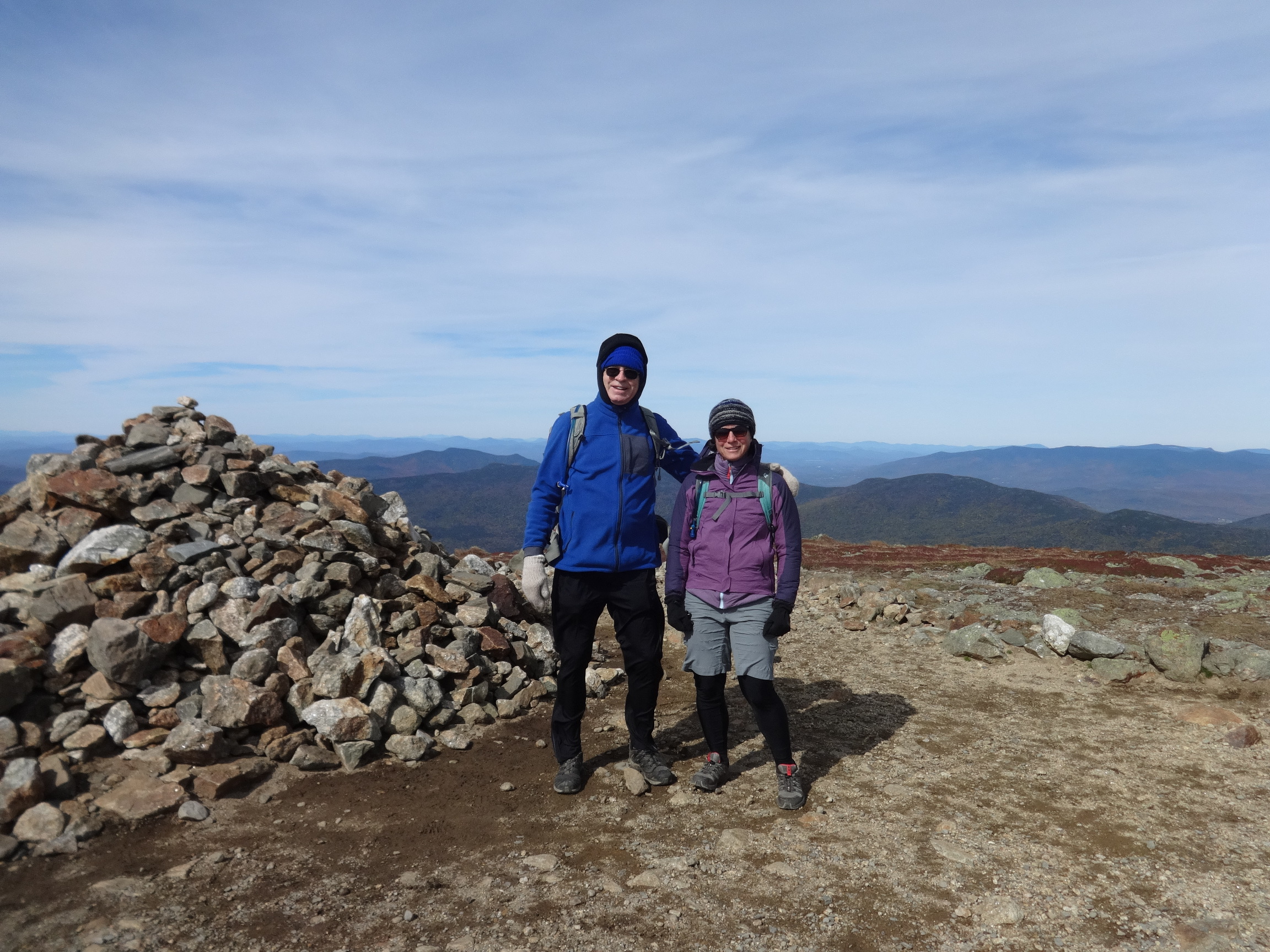
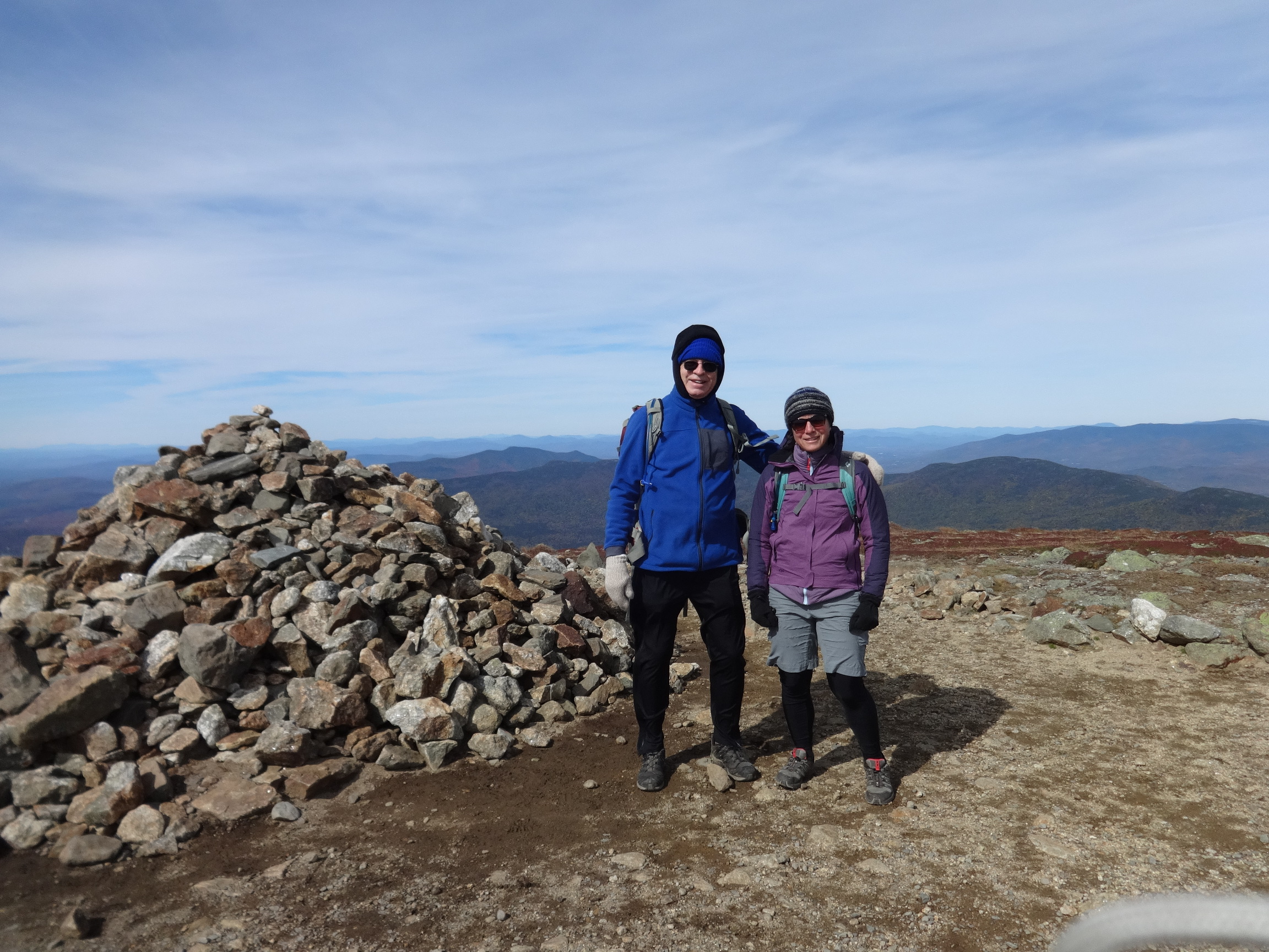
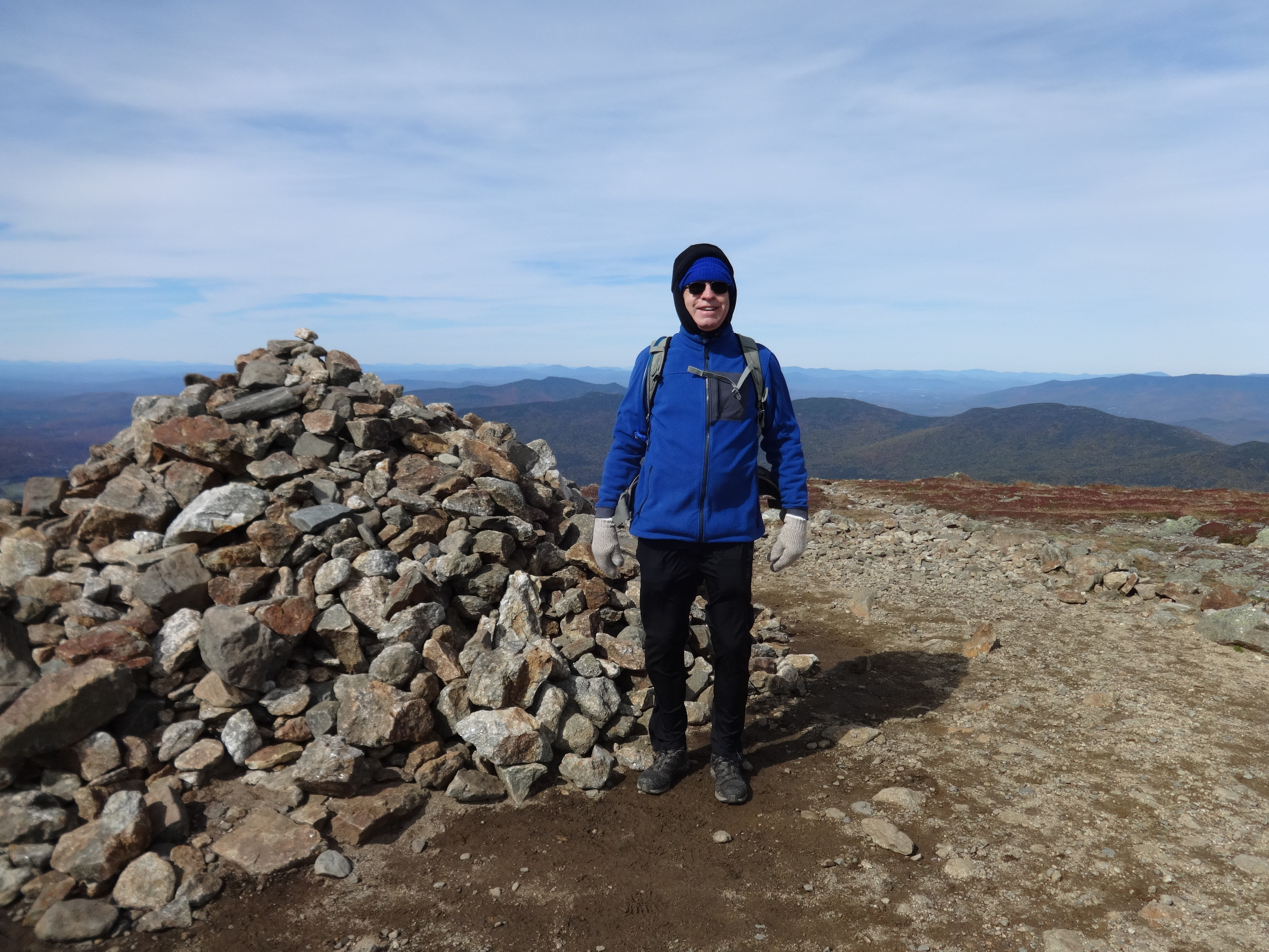
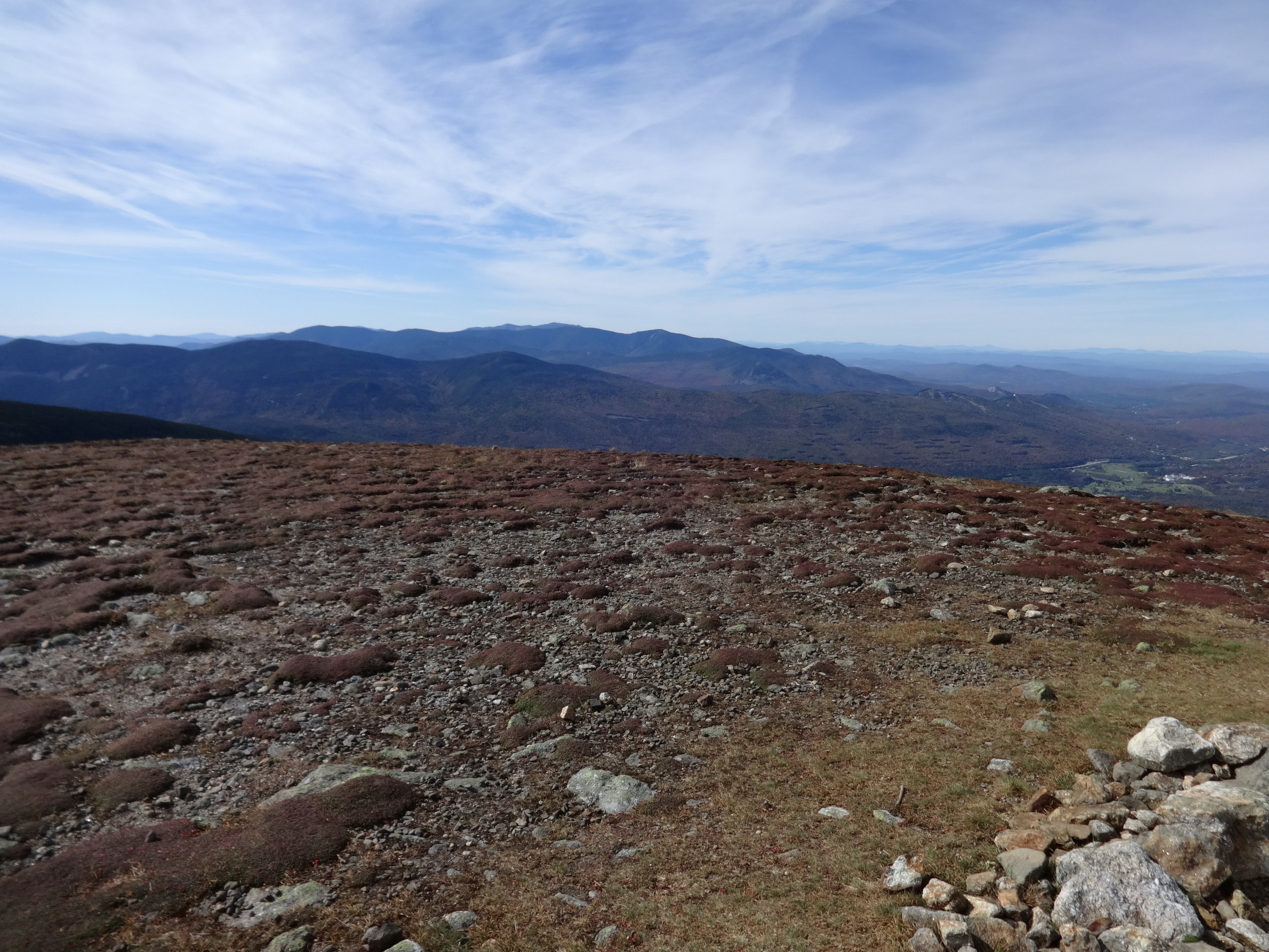
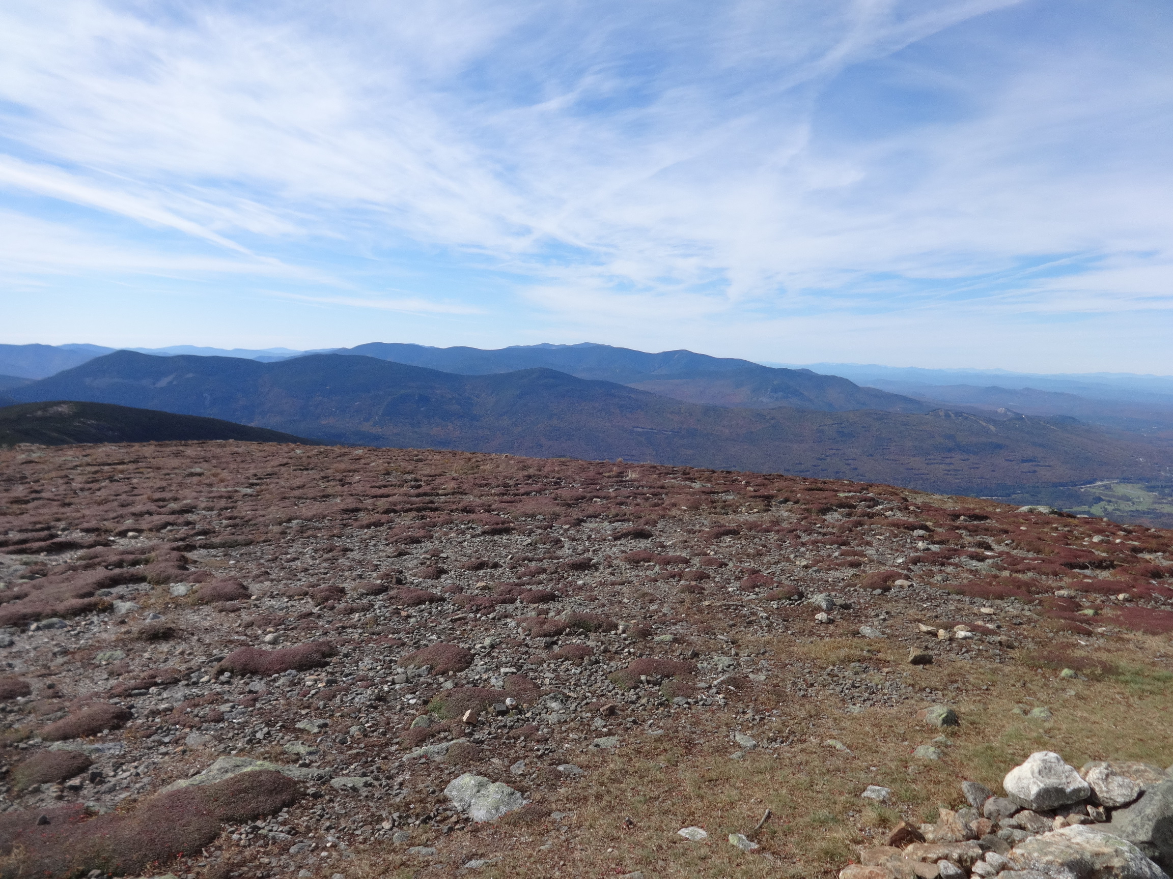
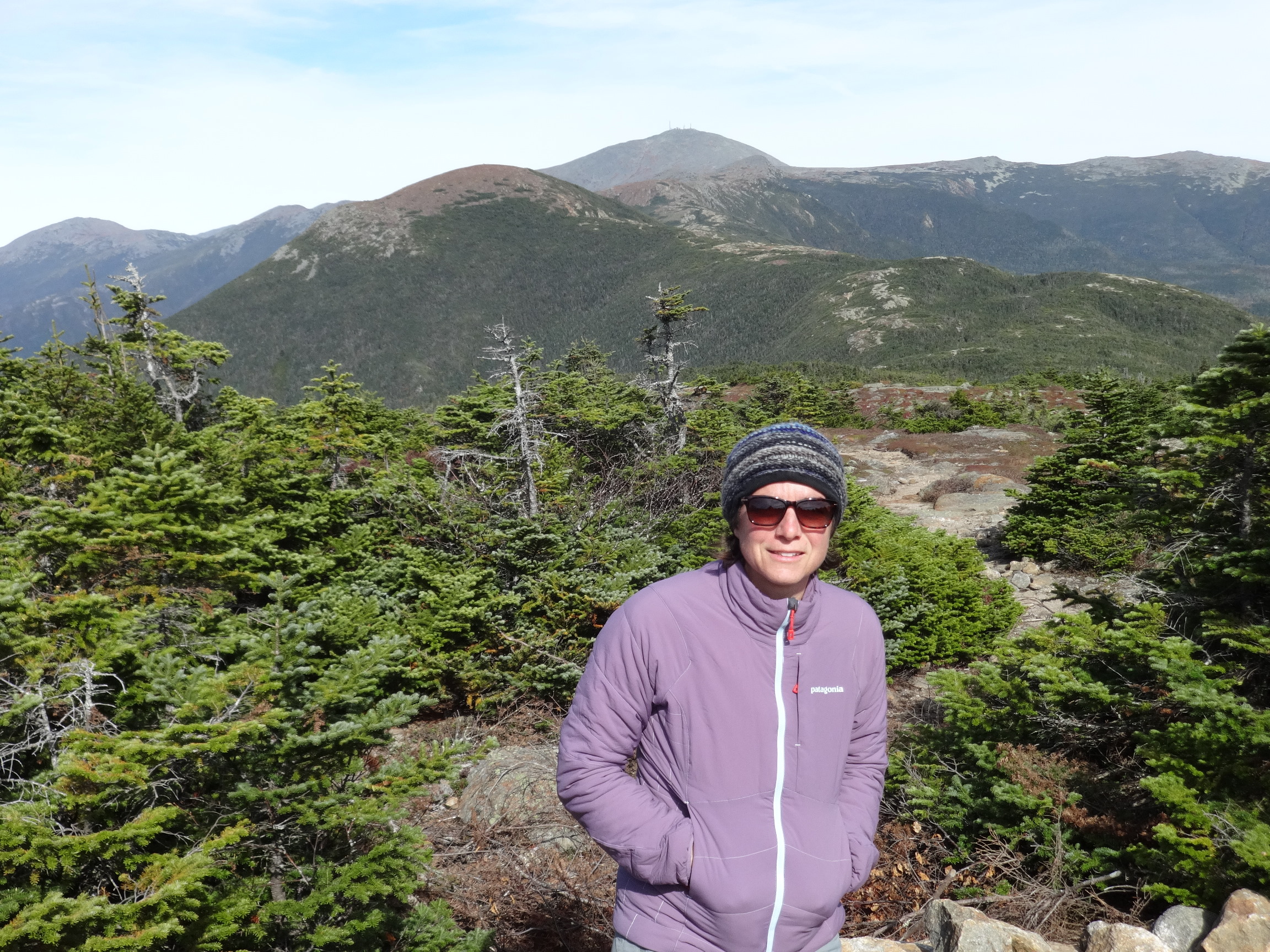
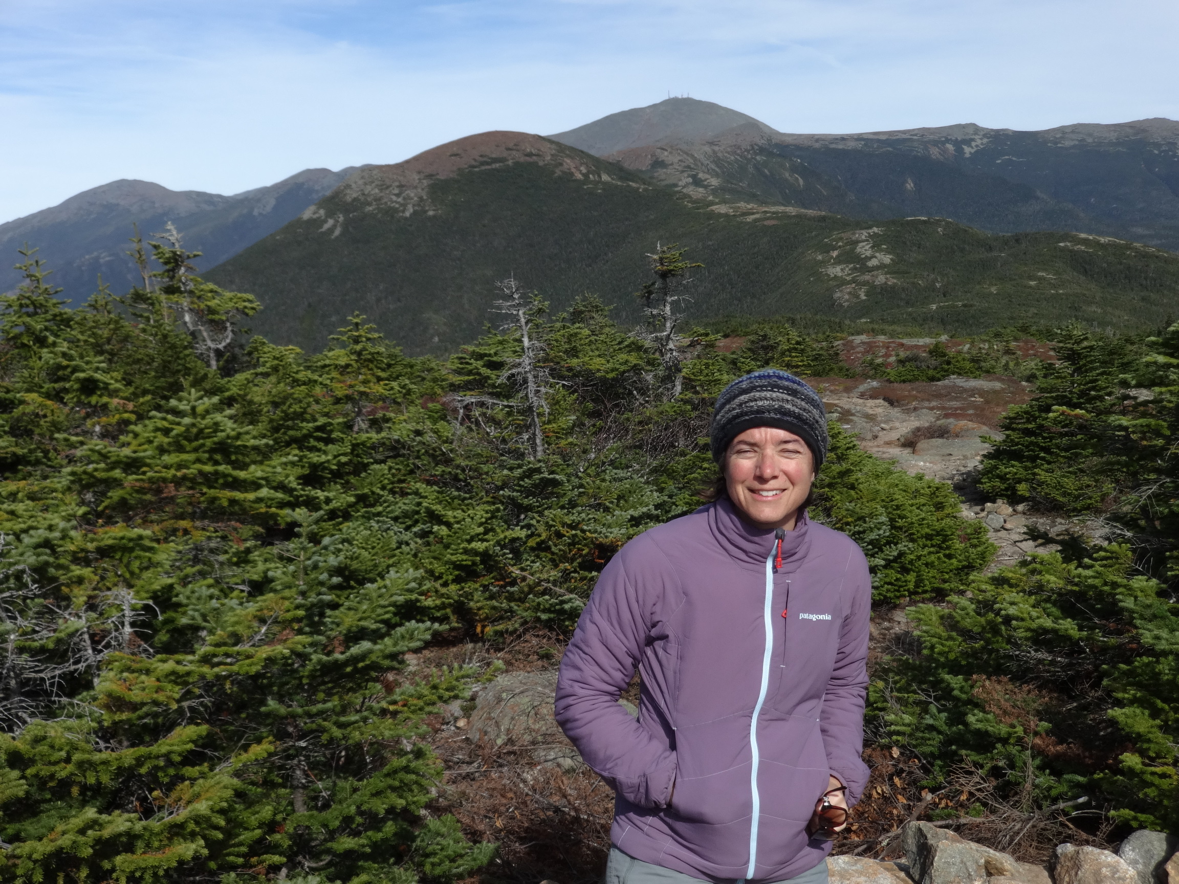
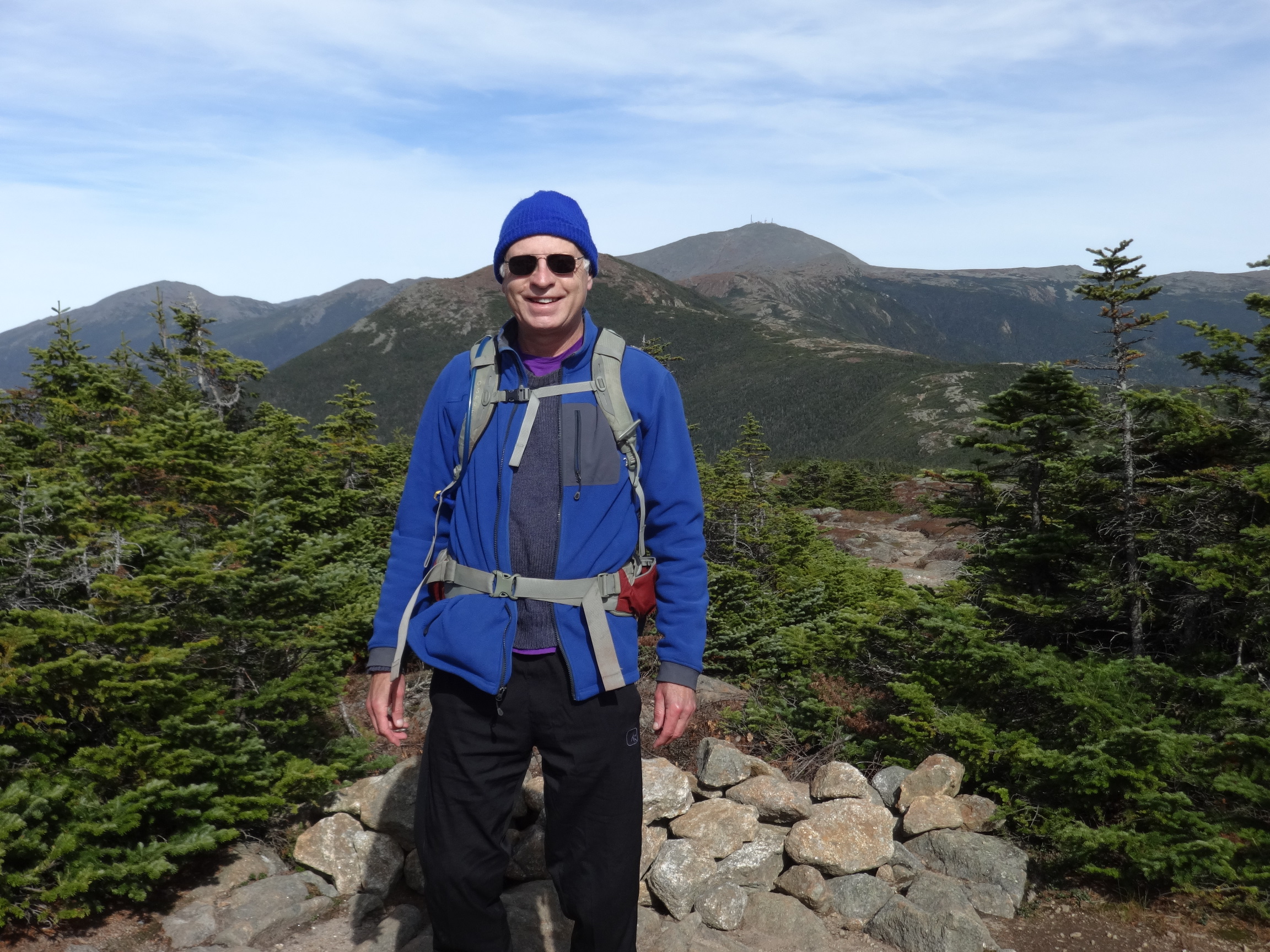
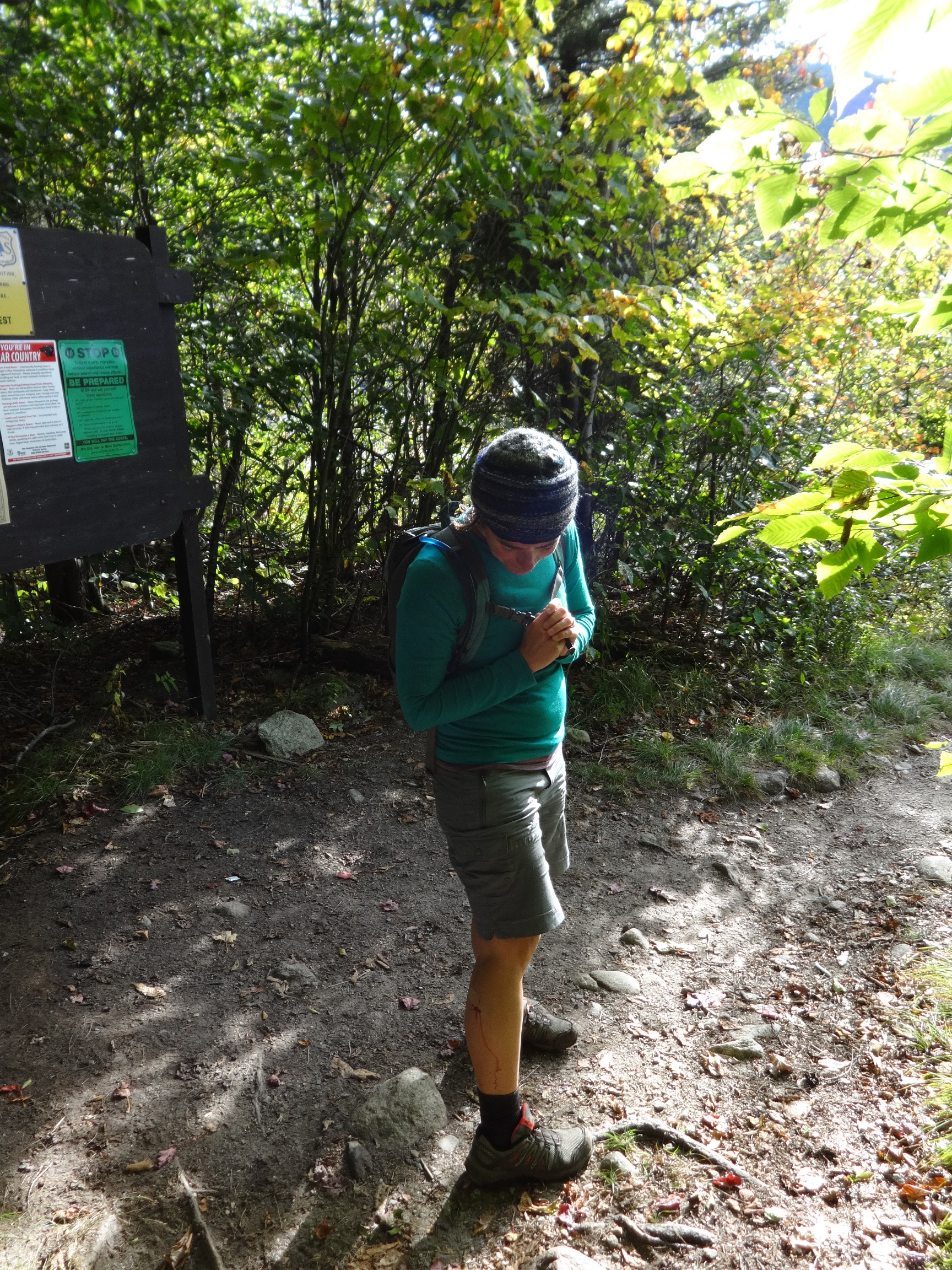
The Skookumchuck Trail provides a relatively easy and pleasant ascent to the Franconia Ridge. Given the large number of people out and about on this spectacular early-Autumn day, there were surprisingly few cars in the parking lot, and we met almost no one on the trail.

2015:10:03 12:46:15
2015:10:03 12:48:15

2015:10:03 13:19:13
Amazingly clear. High peaks of the Green Mountains were visible on the horizon. Camel's Hump is just to the left of the central tree. Mansfield above the right-hand tree. Easier to see on the large photo.
2015:10:03 13:27:45

2015:10:03 13:27:53

2015:10:03 13:28:11

2015:10:03 13:43:45
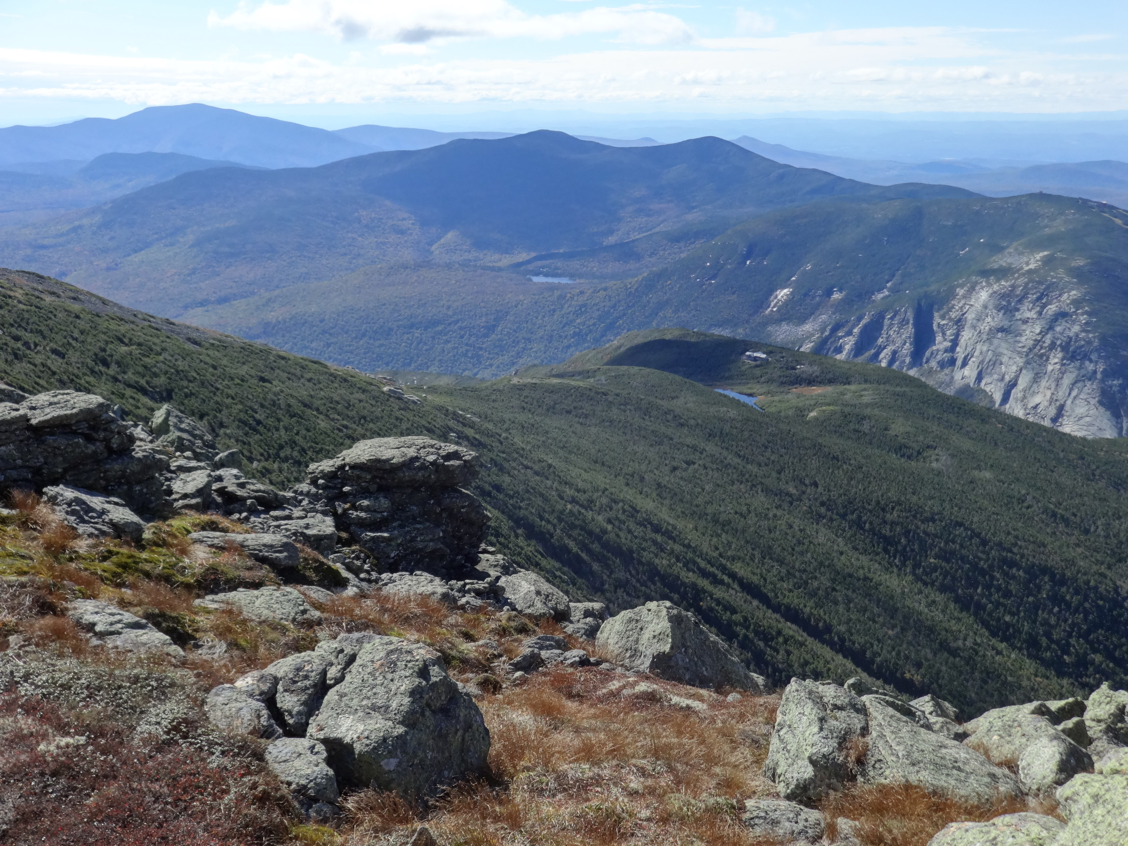
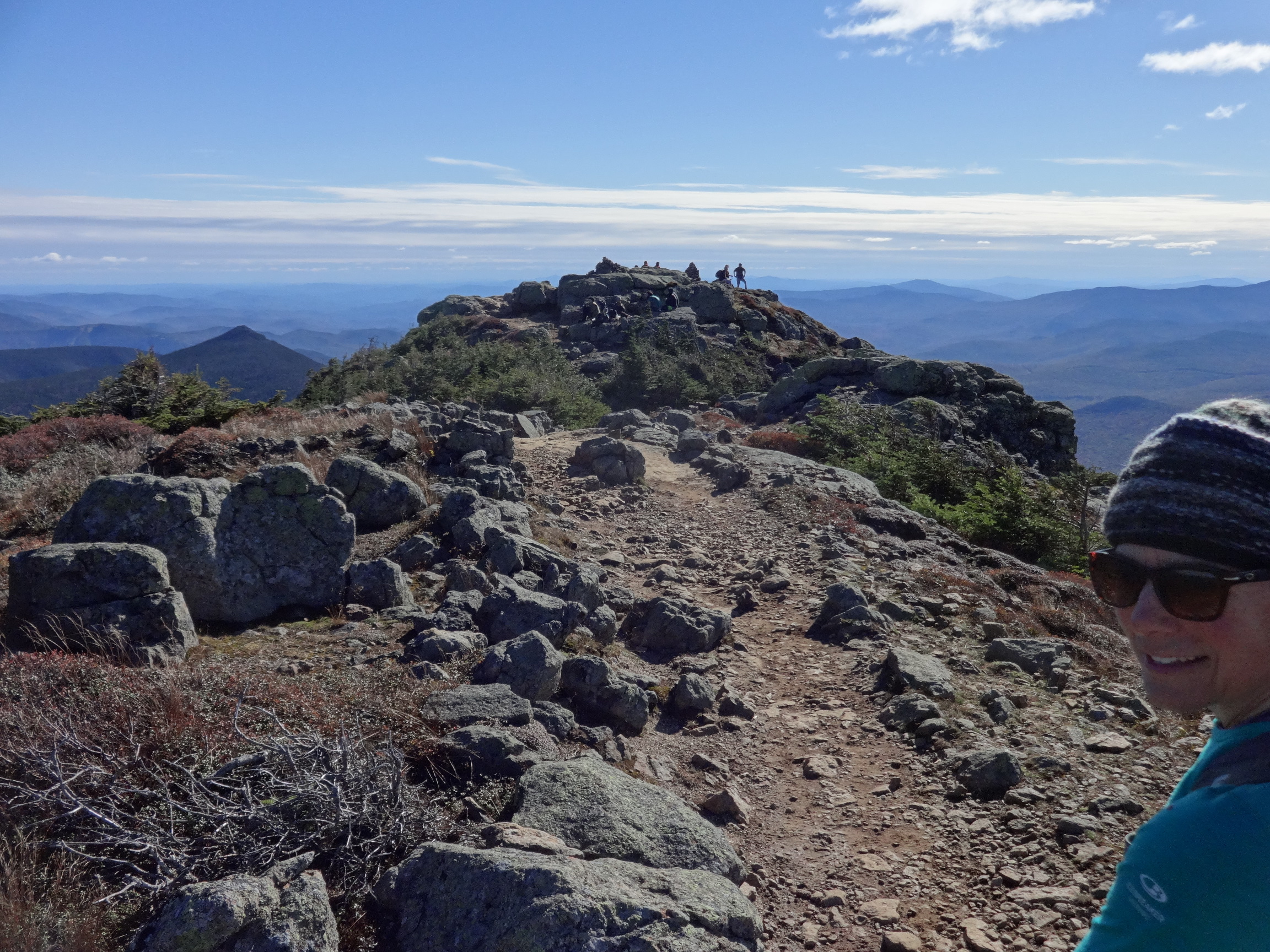
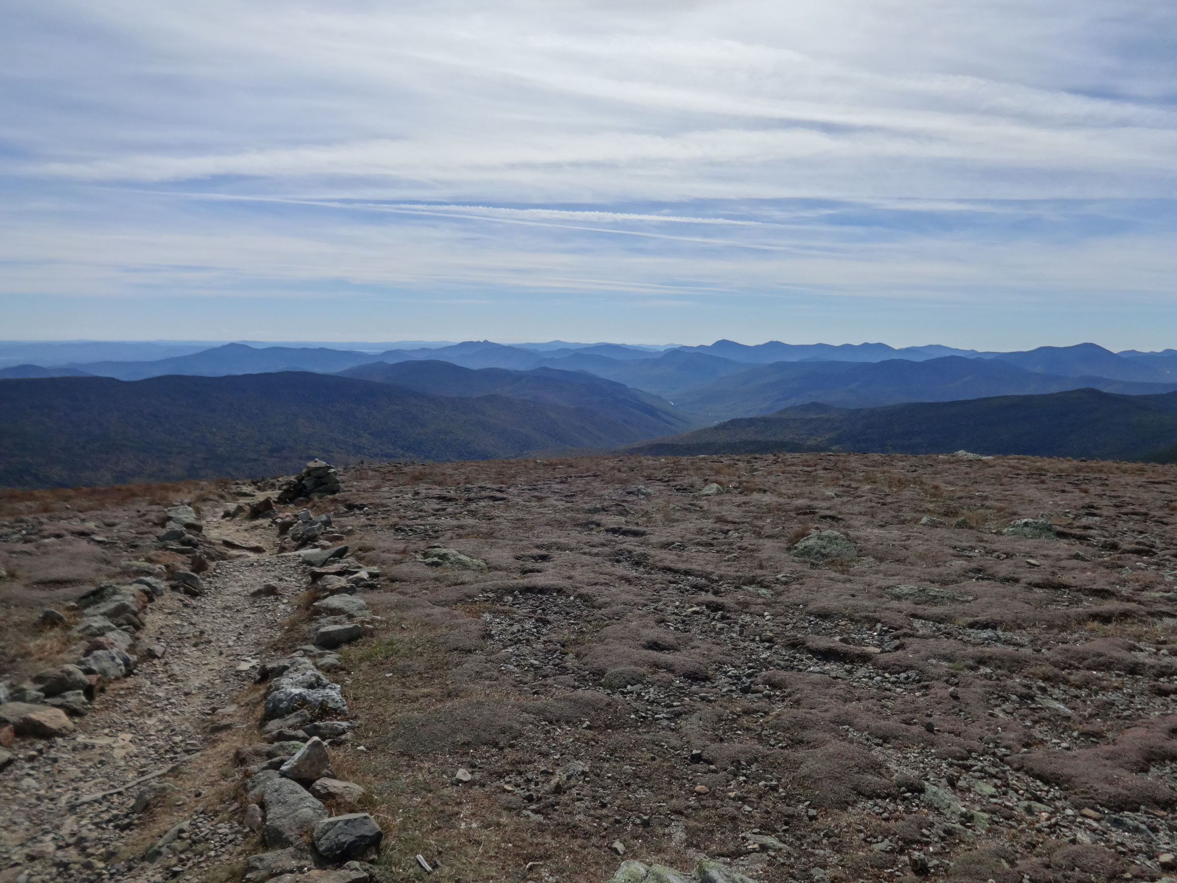
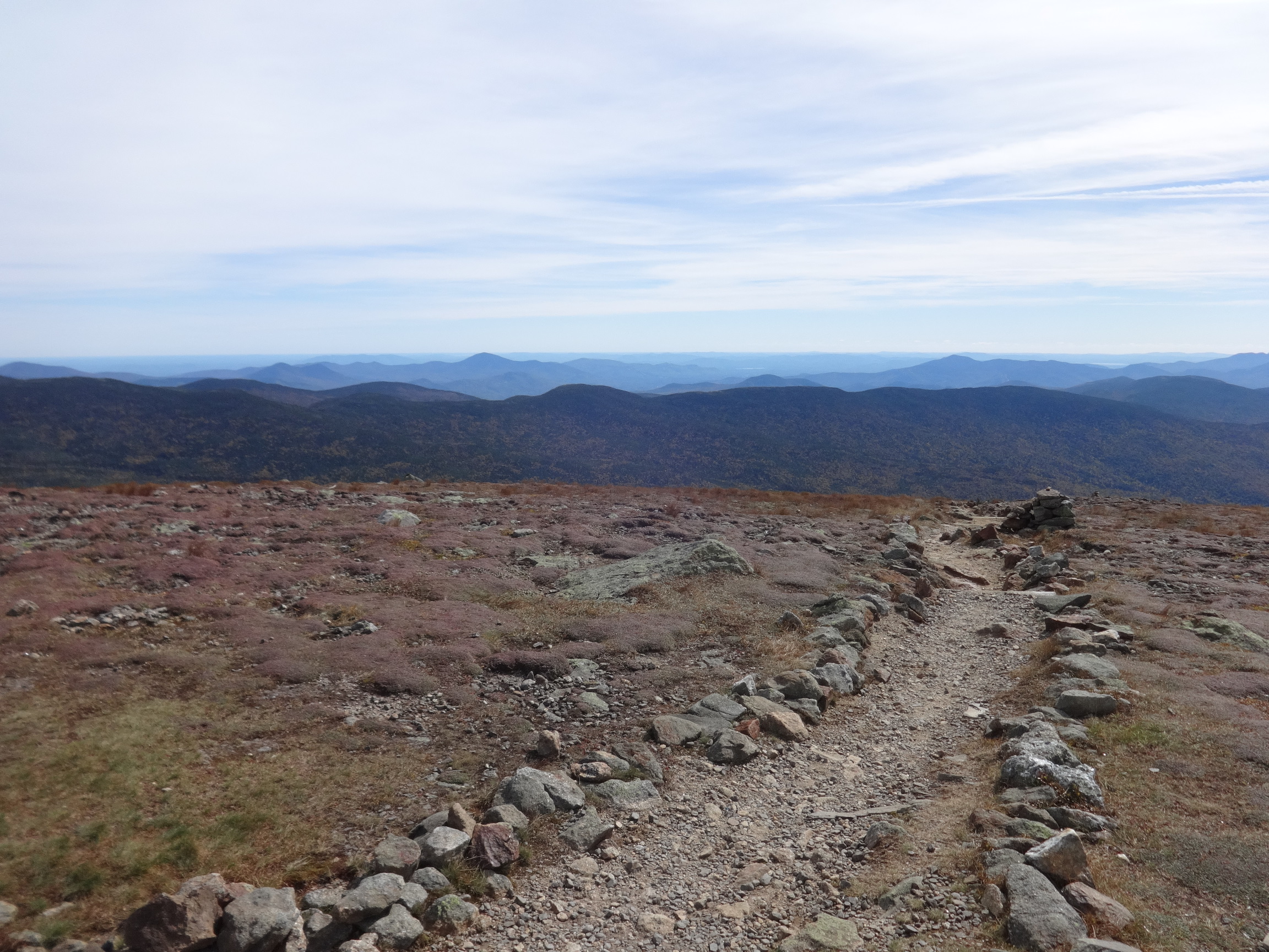
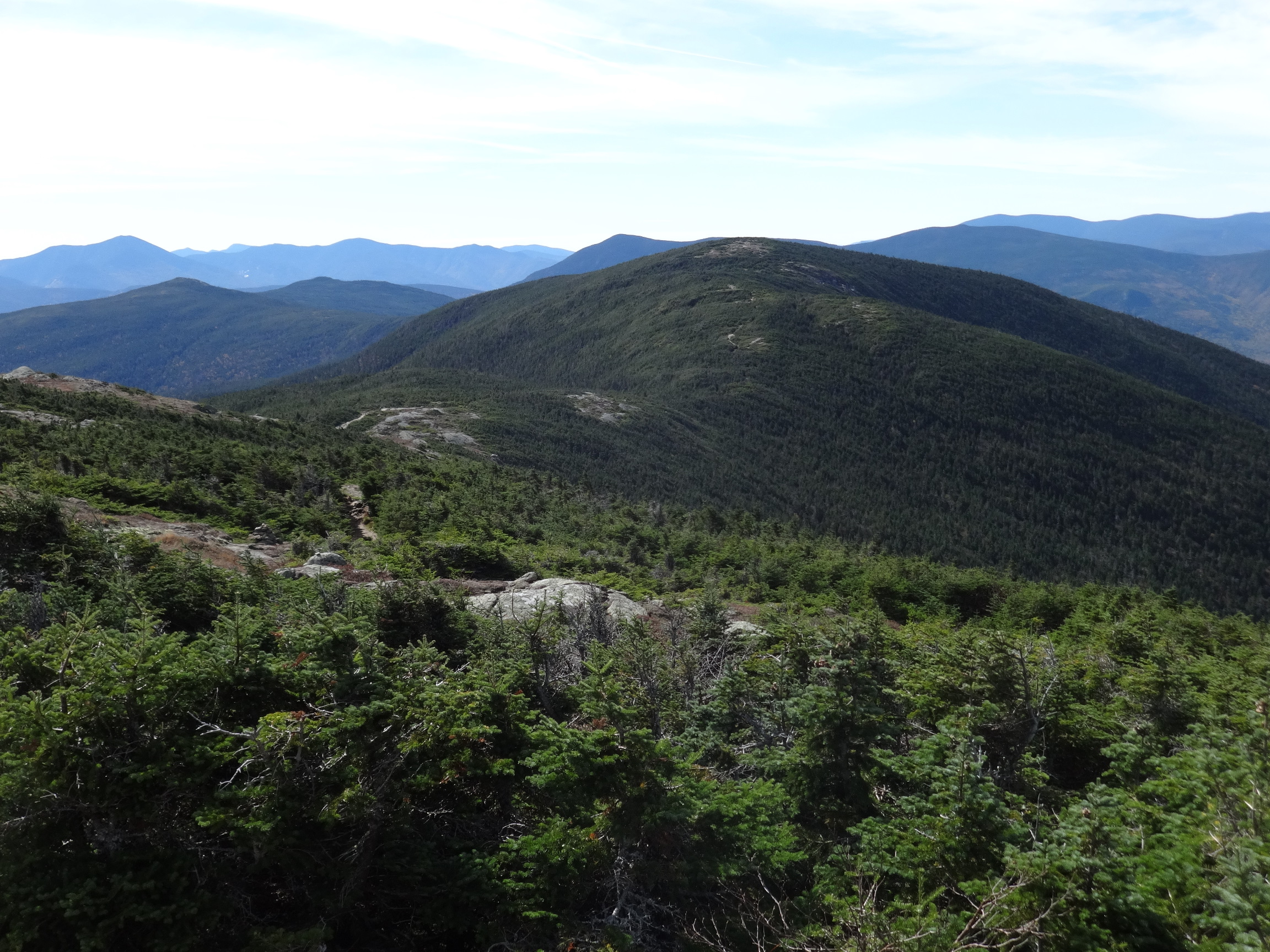
Not many people on this stretch of the ridge trail.

2015:10:03 13:50:36
2015:10:03 13:53:56
2015:10:03 13:54:07
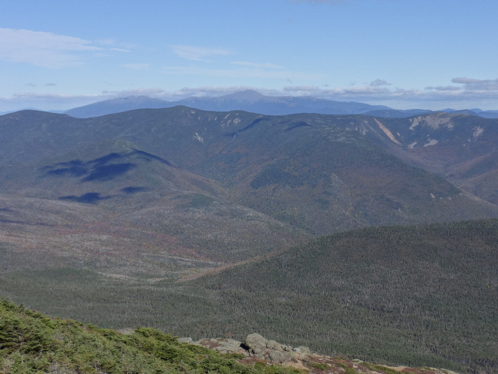
Carrigain on the left and the Hancocks on the right, with Chocorua poking up in the notch between the Hancocks.
2015:10:03 13:57:44

2015:10:03 13:57:50
2015:10:03 13:58:15
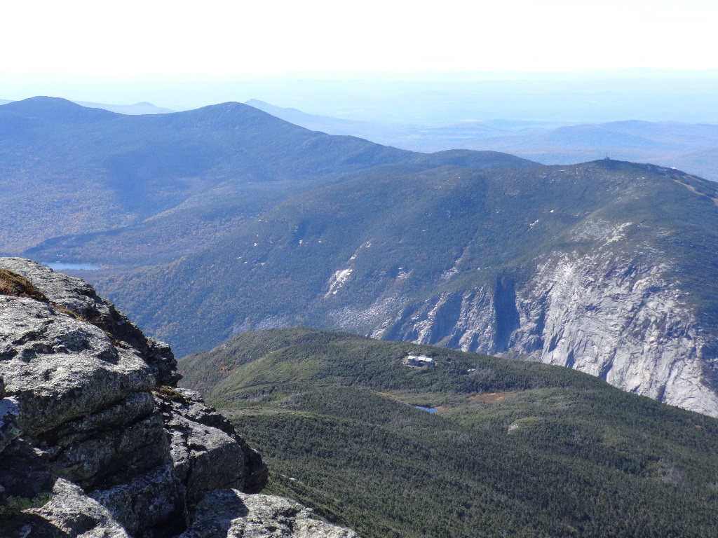
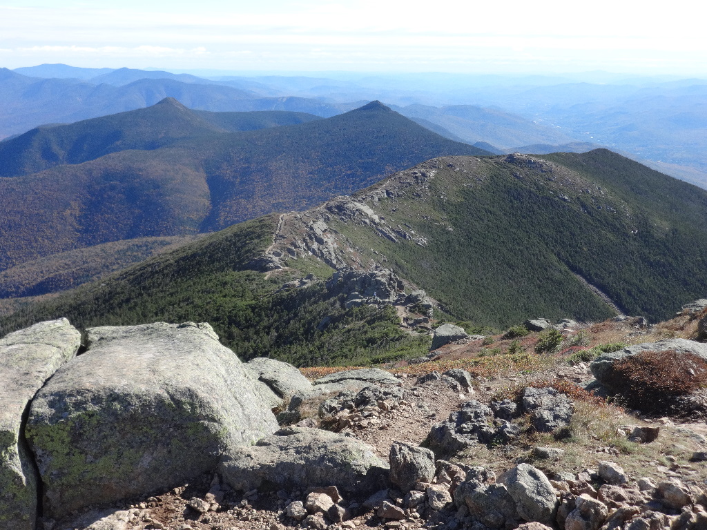
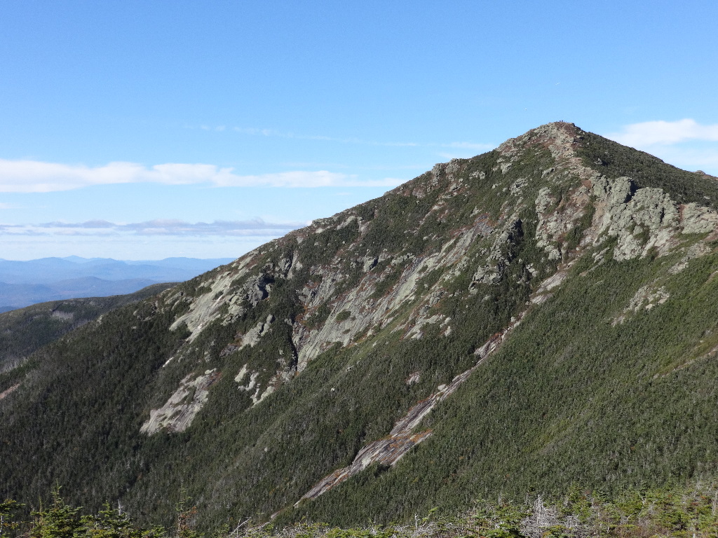
Summit of Cannon on the right. Lonesome Lake on the left. Greenleaf Hut in the middle.

2015:10:03 14:08:33

2015:10:03 14:16:13
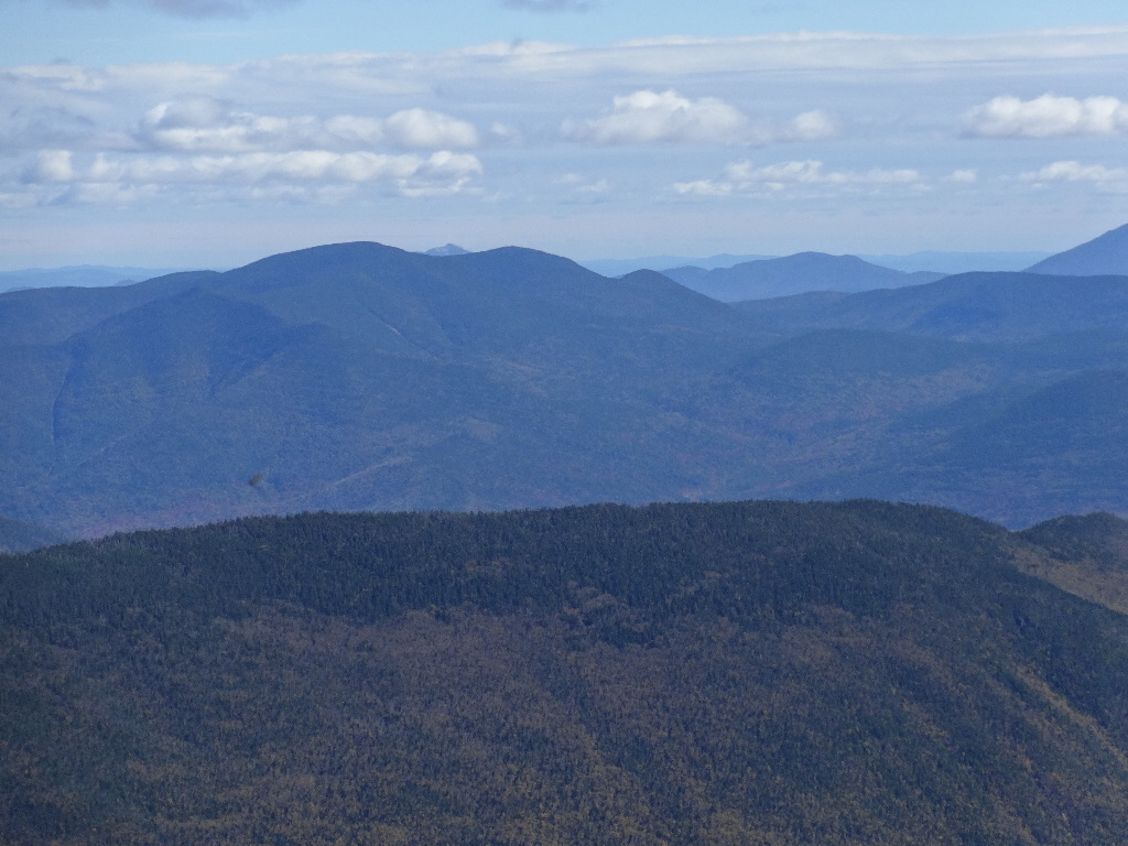
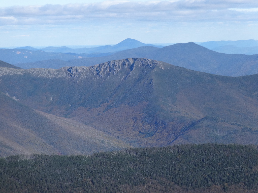
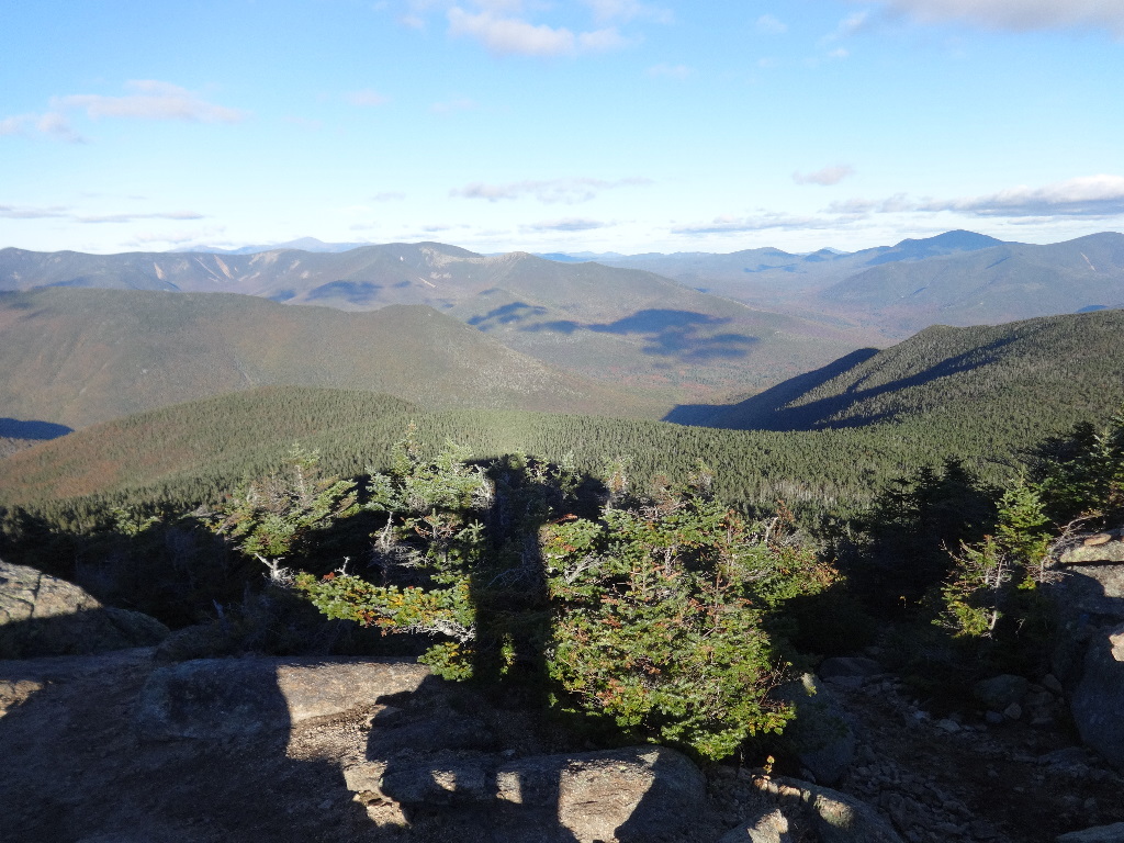
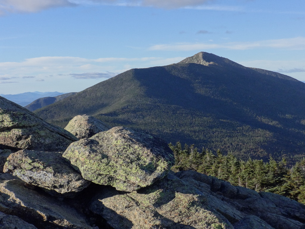
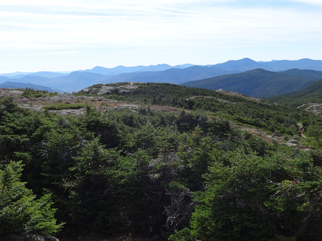
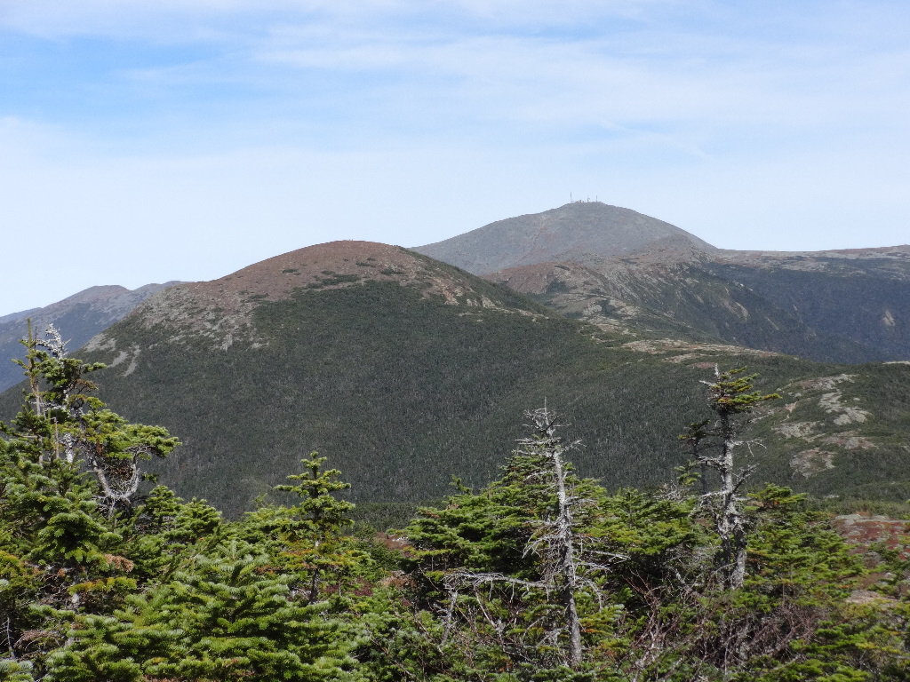
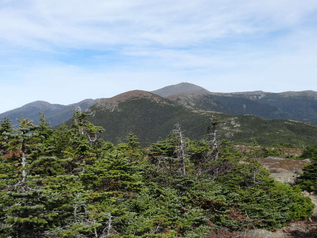
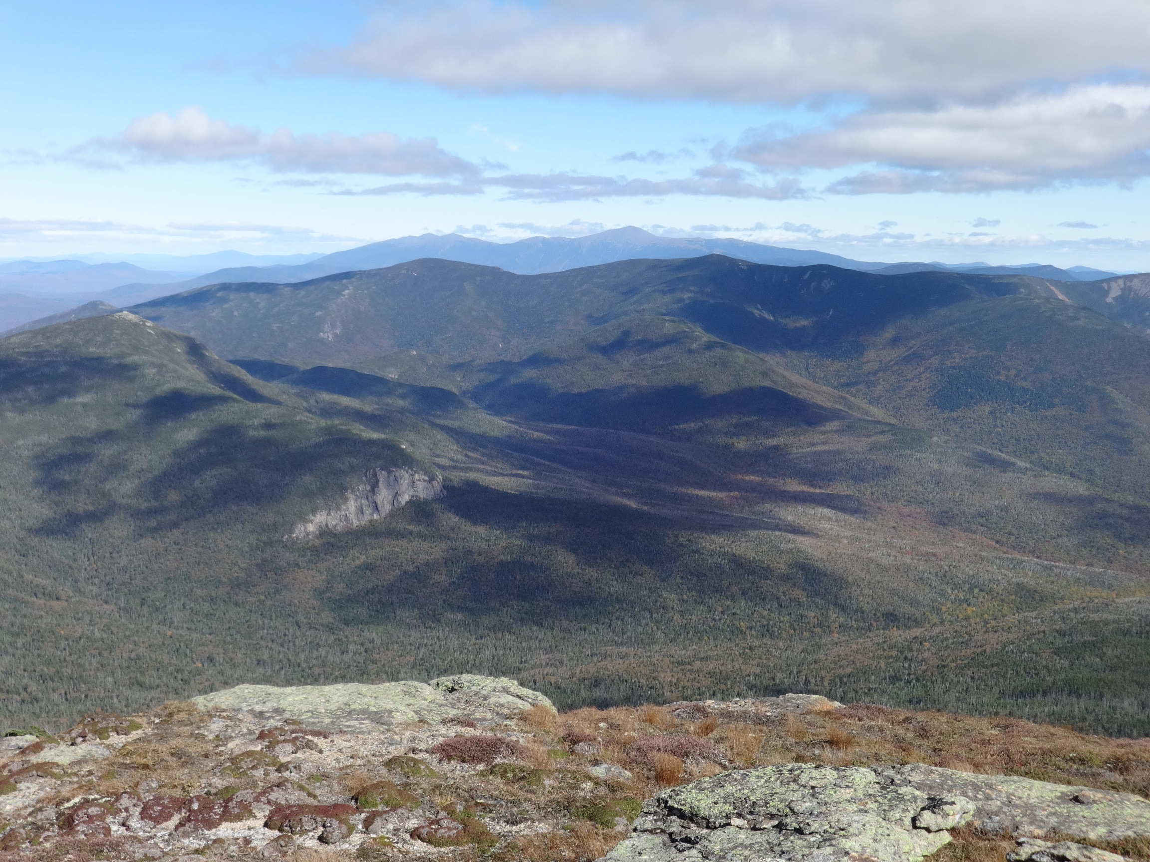
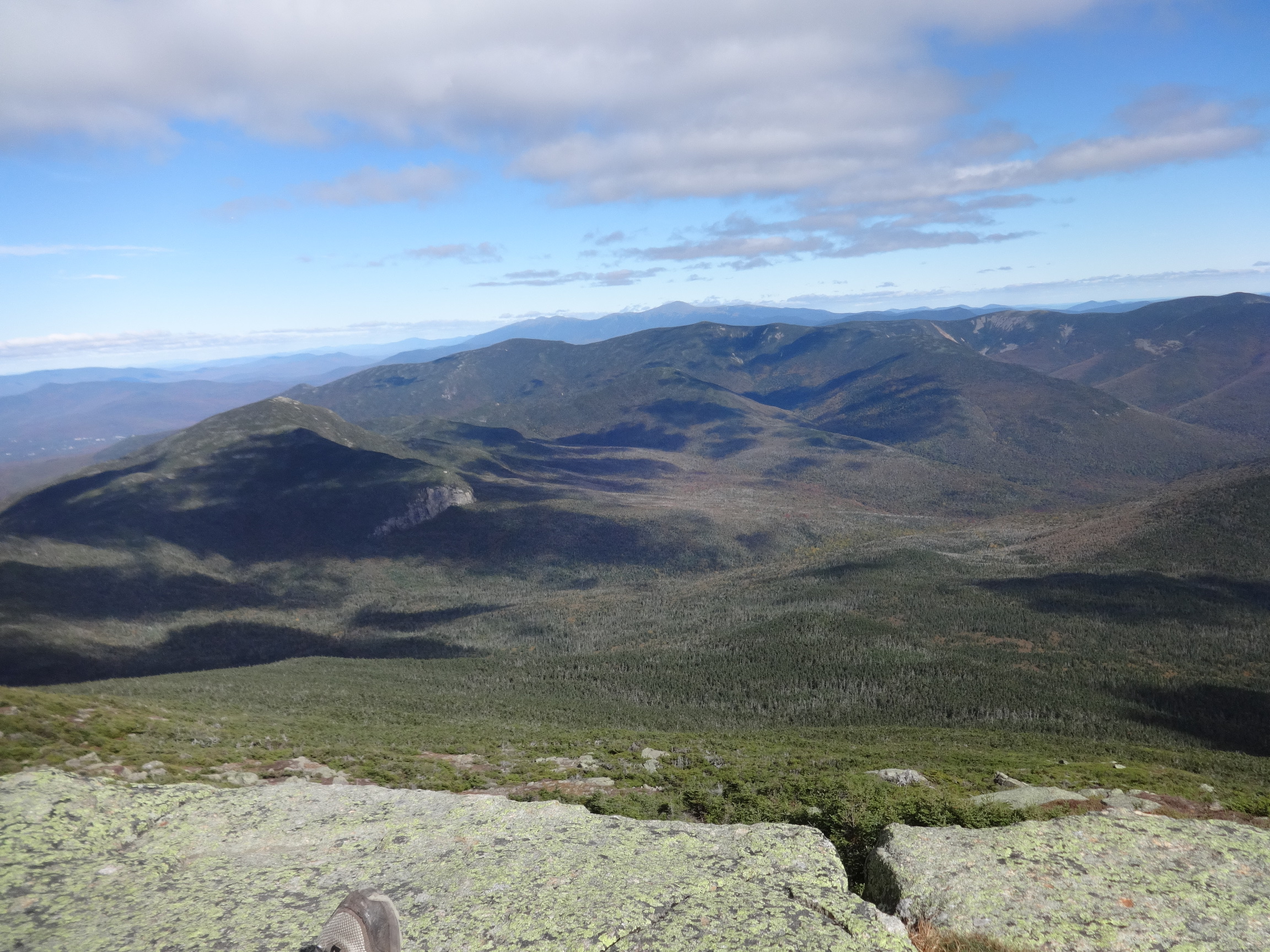
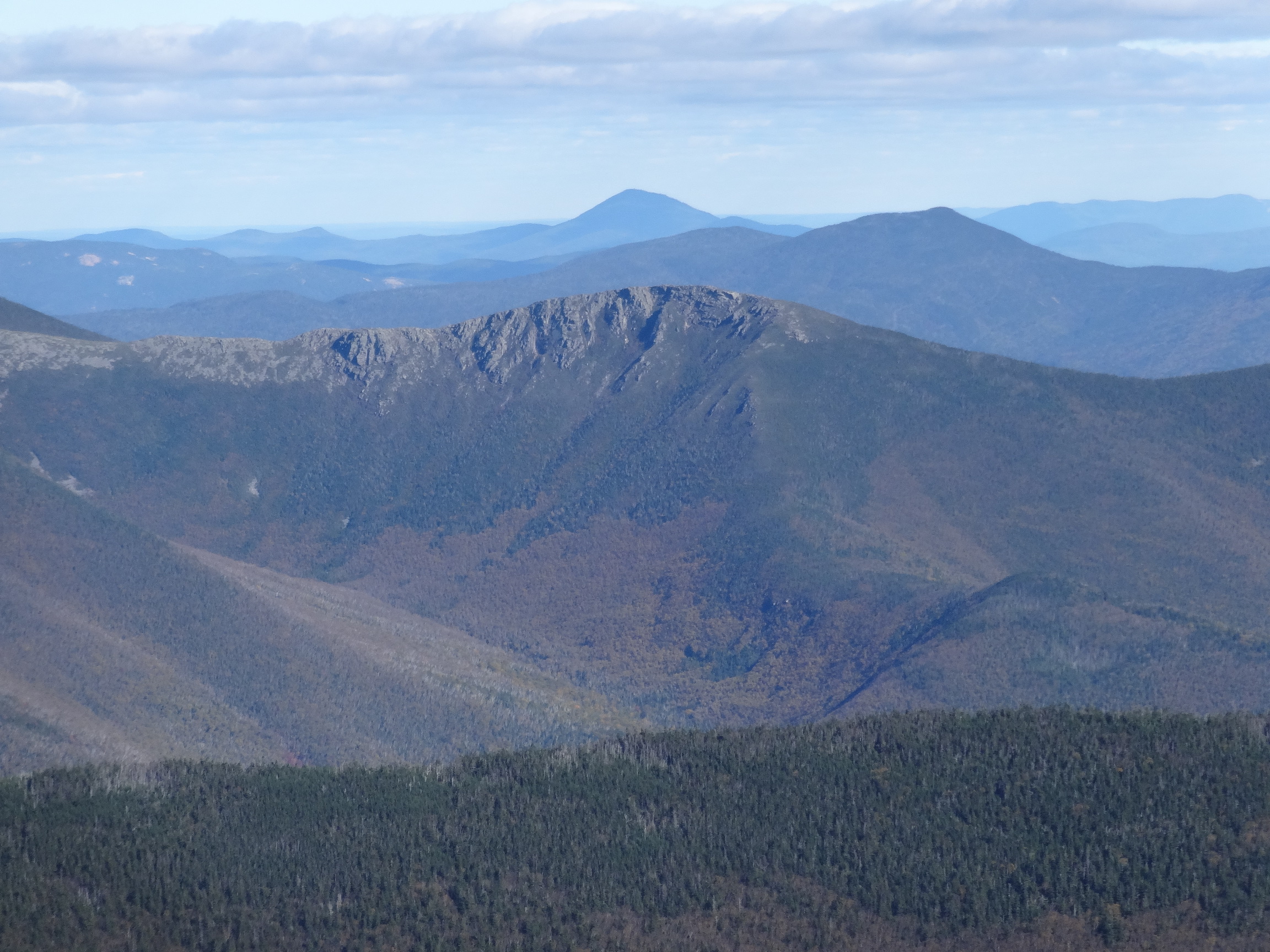
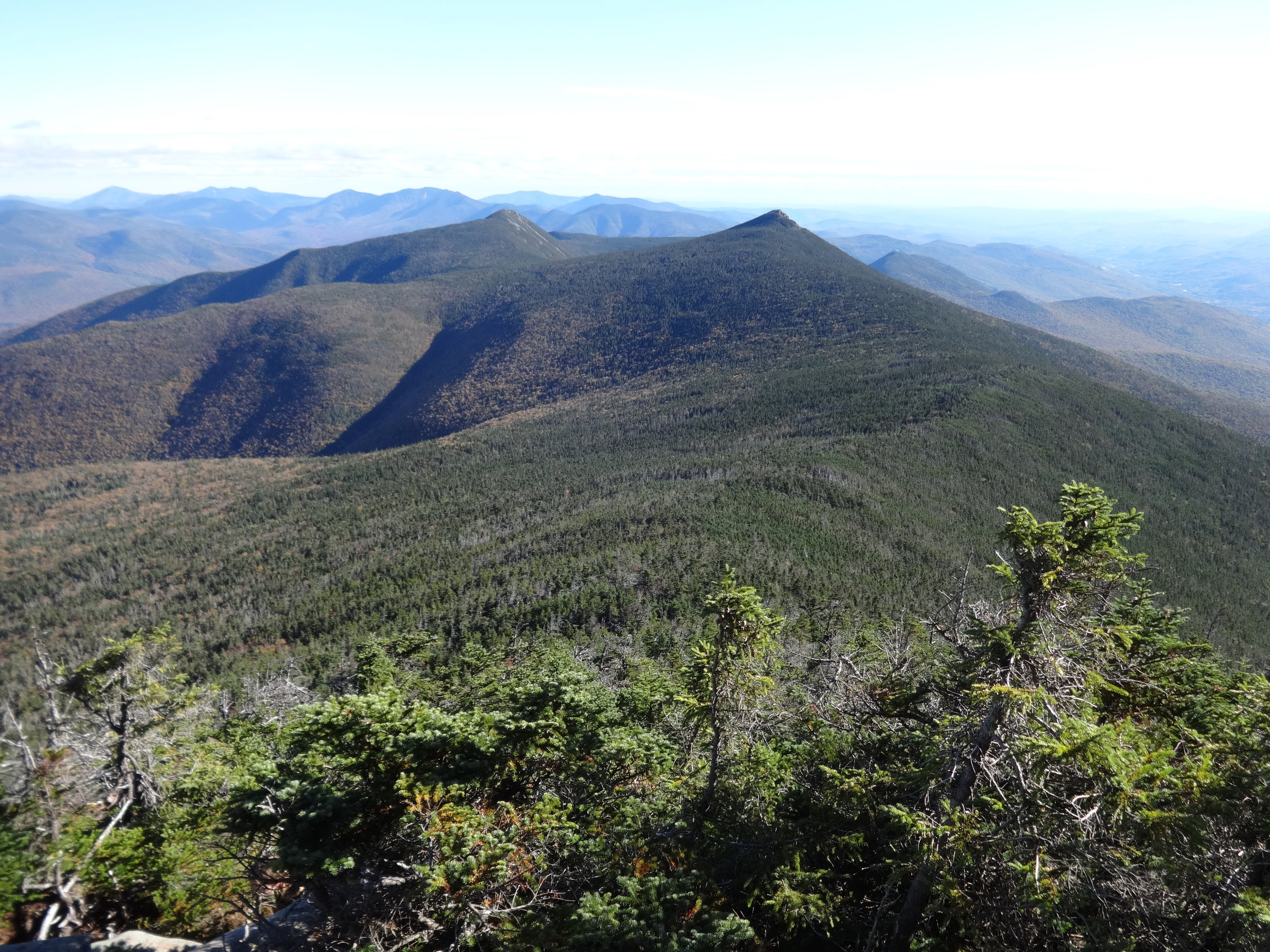
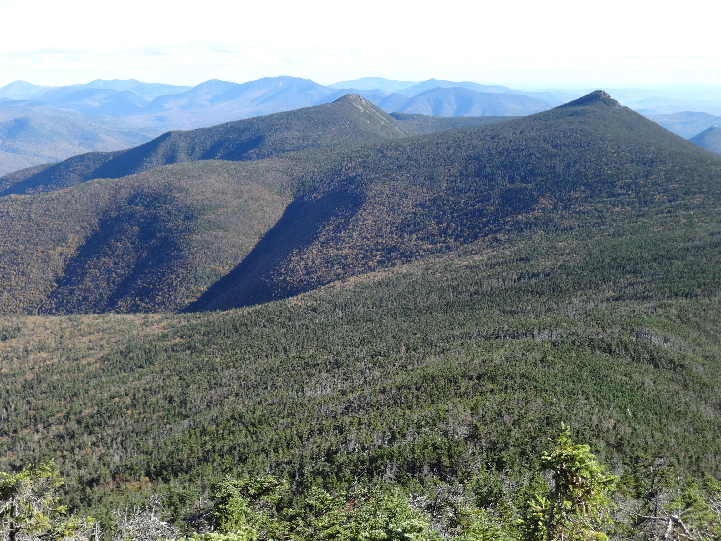
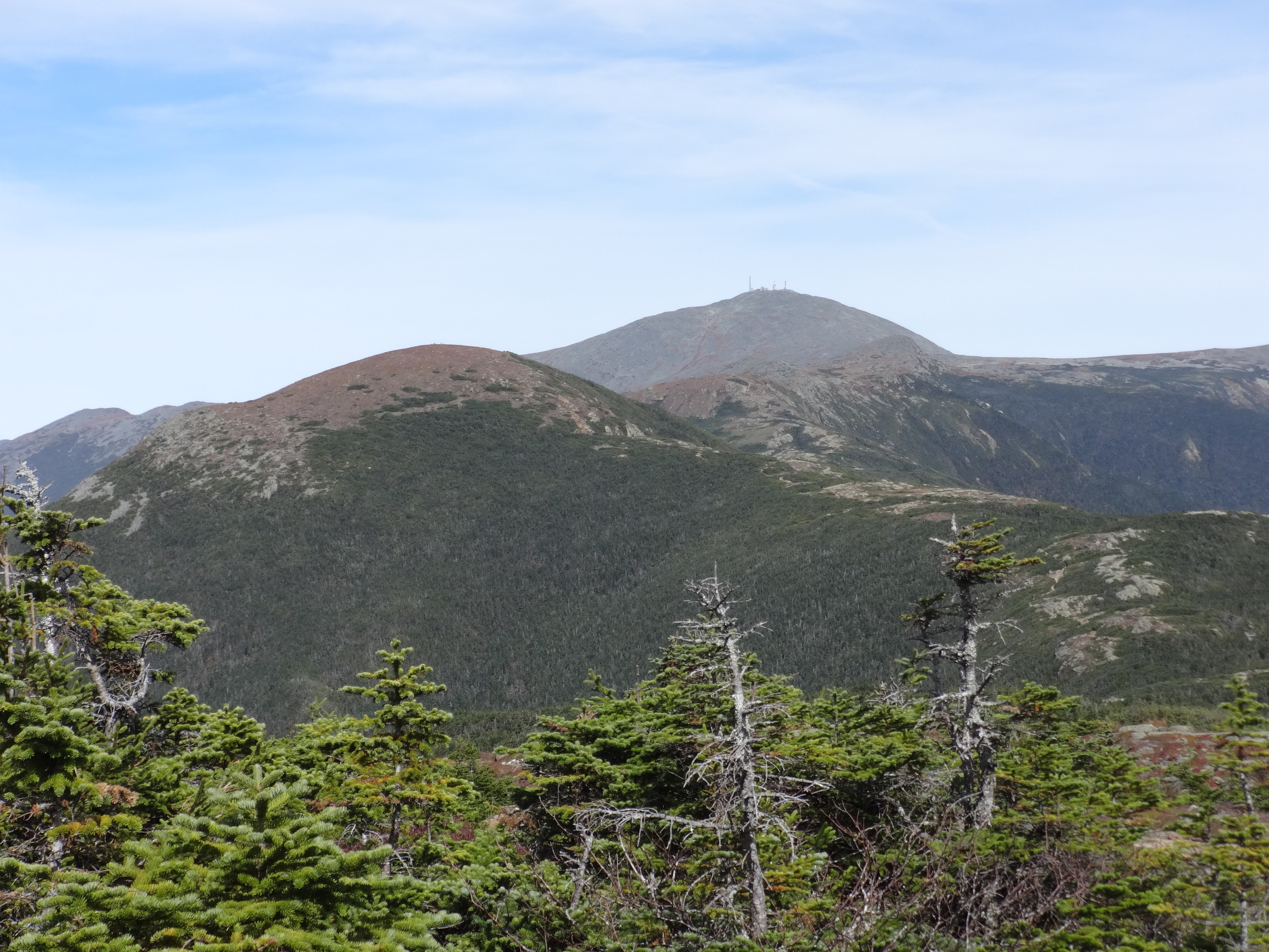
Garfield's rocky summit on the left. Mt Washington in the center. The Mt. Willey and Mt. Field and Mt. Tom ridge beyond and to the left of the exposed rock faces of Guyot. (Mt. Tom occluded by the south flank of South Twin?). Bond on the far right.

2015:10:03 14:16:23
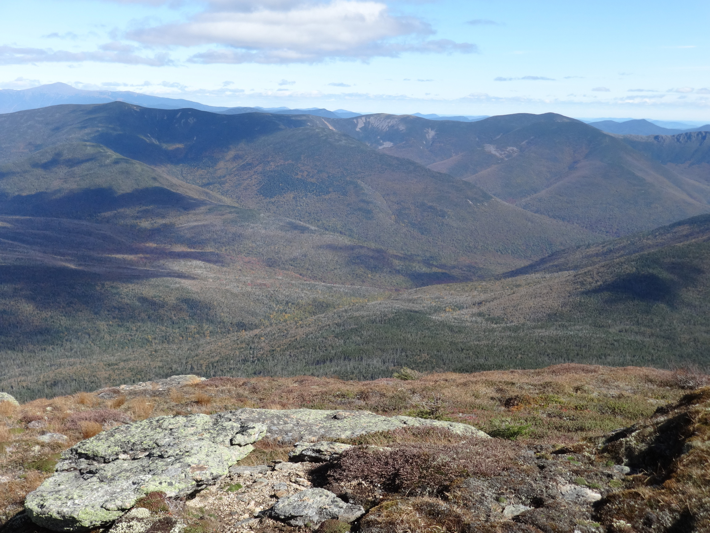
Owl's Head in the foreground, with Carrigain cresting the horizon above it.

2015:10:03 14:16:30
2015:10:03 14:25:20
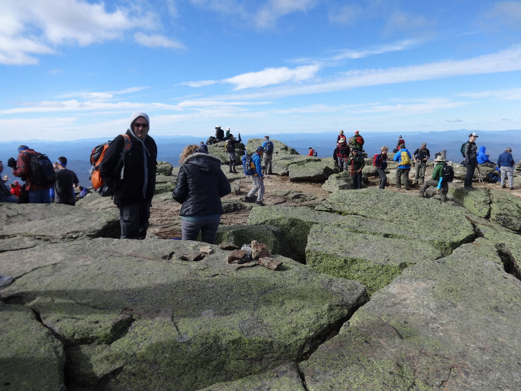
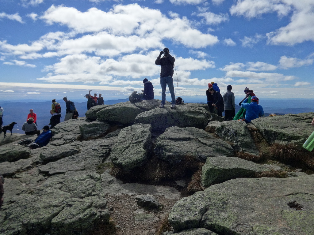
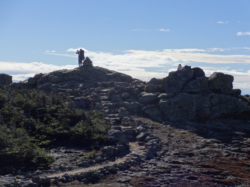
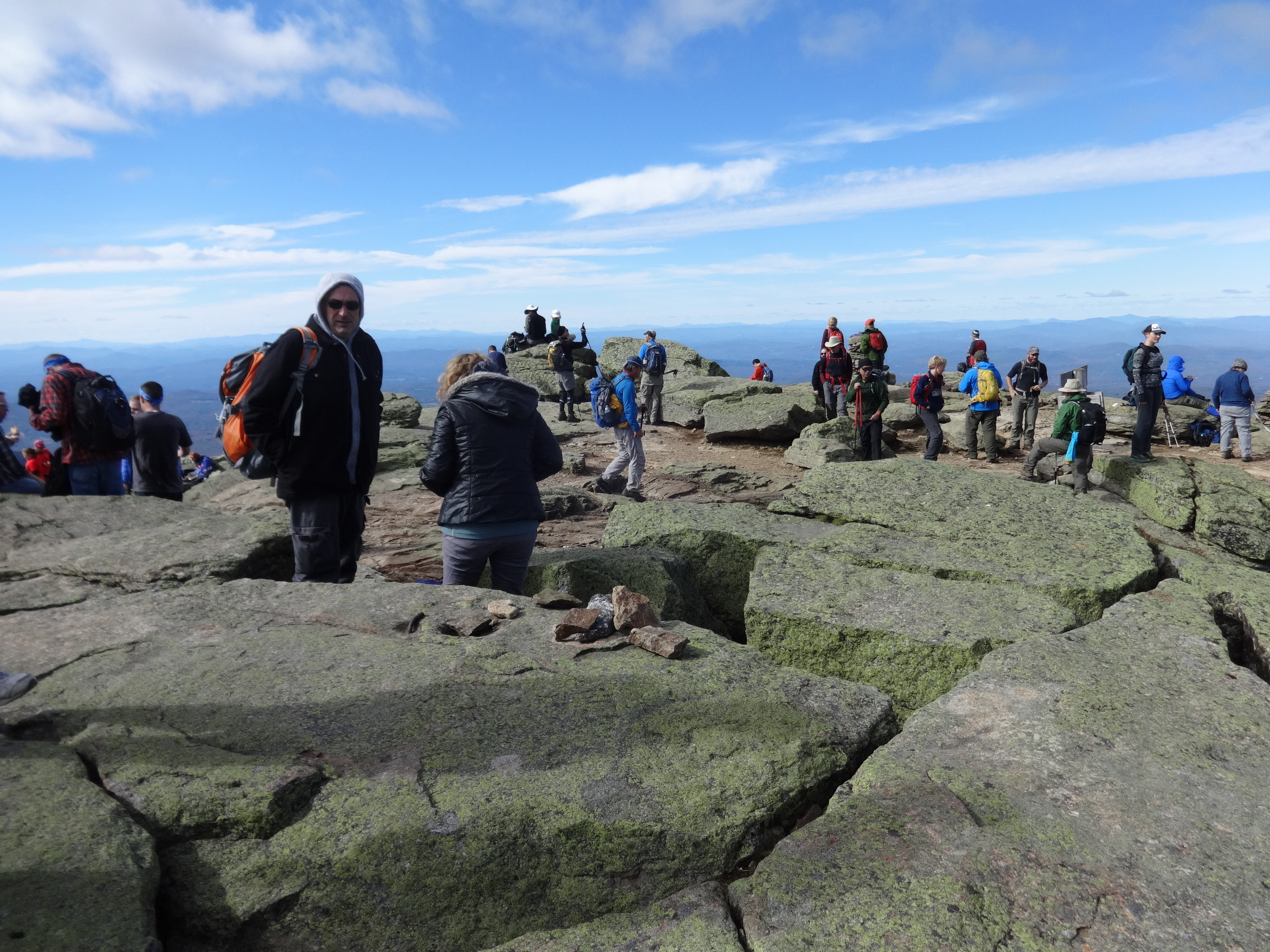
On Lafayette we encountered the teeming hordes. Many of these people were hiking the classic up-Falling-Waters,-across-the-ridge,-down-Bridle-Path loop. Below, we could see the large number of cars that overflowed the parking lots and parked along Franconia Notch Parkway.
2015:10:03 14:25:24

2015:10:03 14:48:10
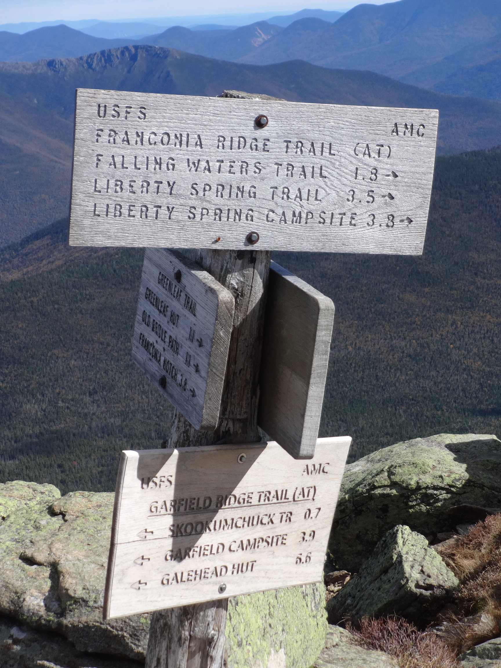
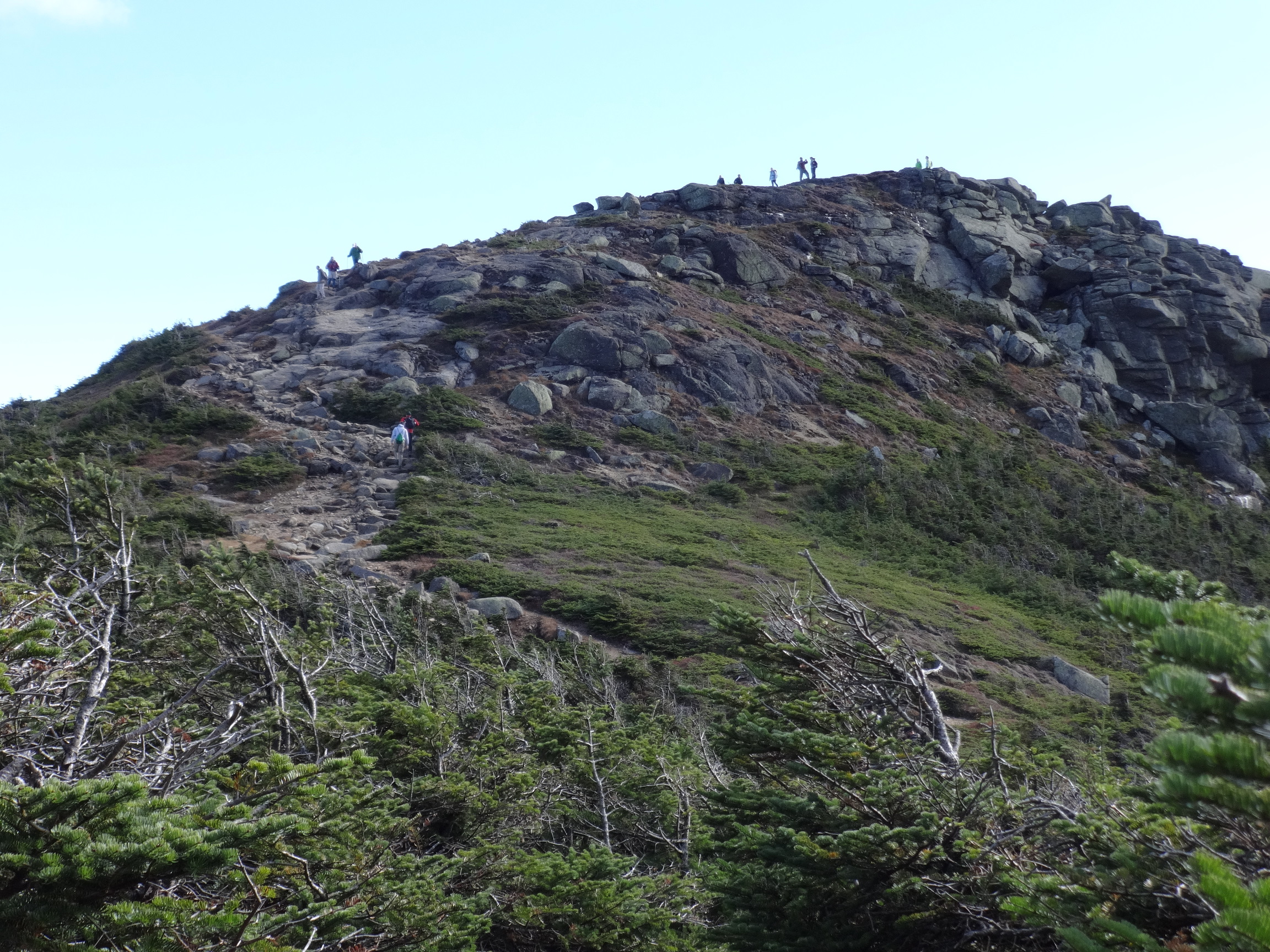
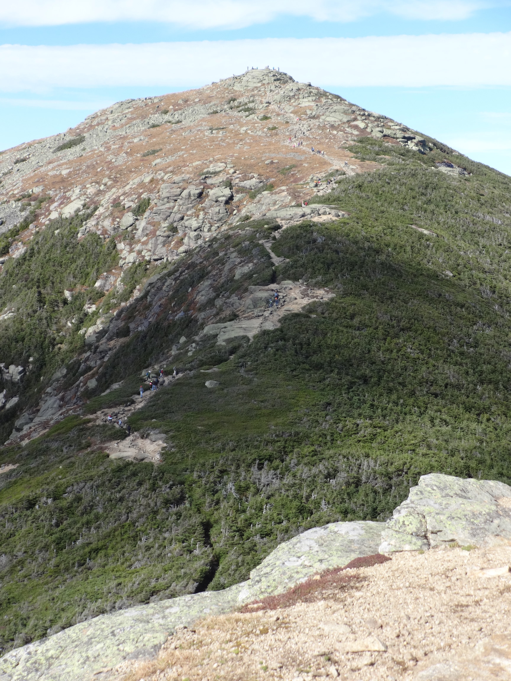
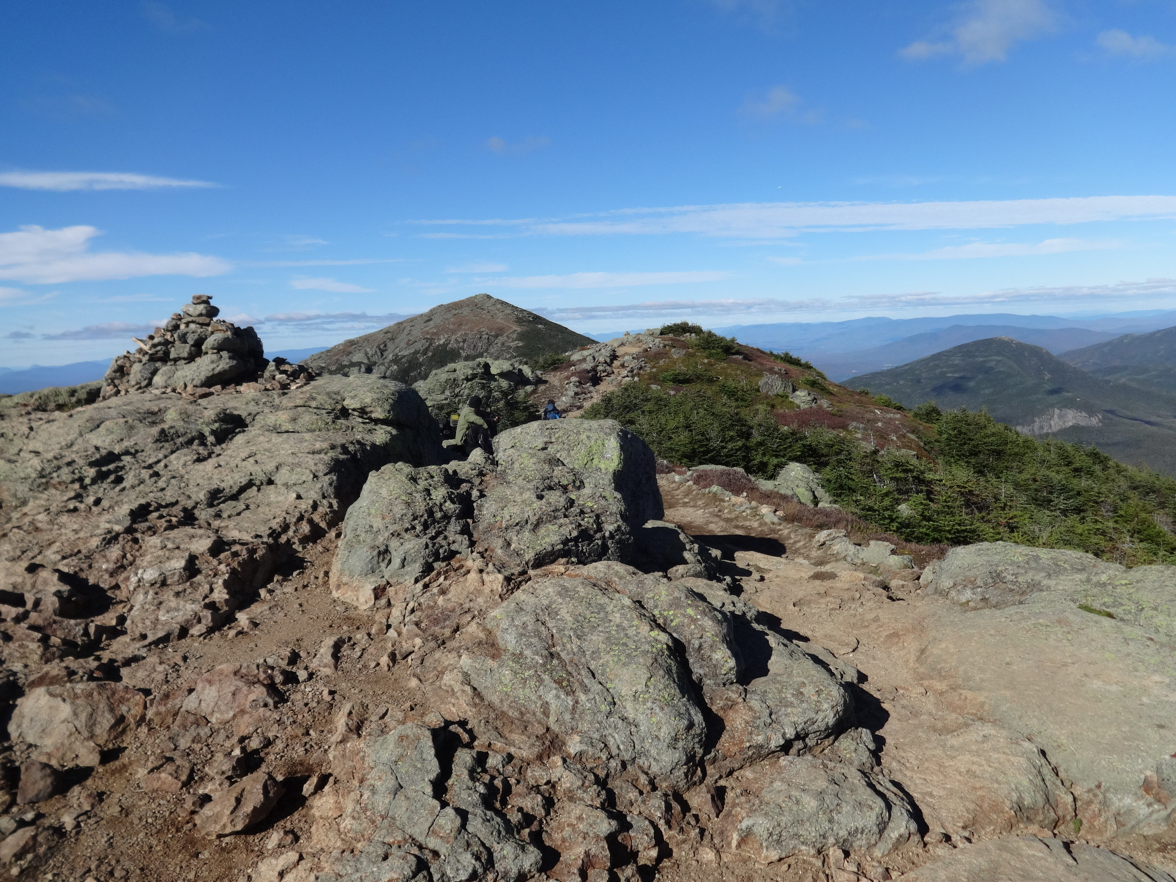
It seems like there are TWO major crests between Lafayette and Little Haystack. I was never sure whether THIS was Mt. Lincoln summit.
2015:10:03 14:53:26

2015:10:03 14:53:33
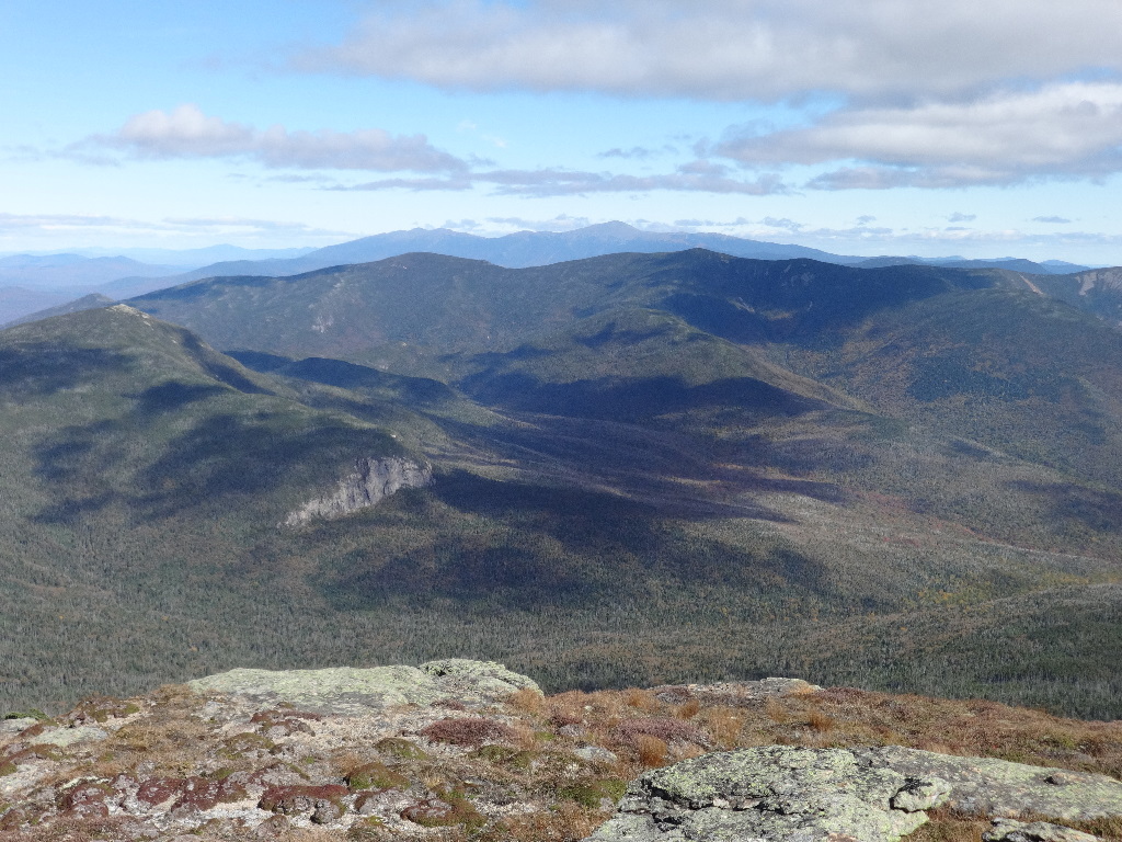
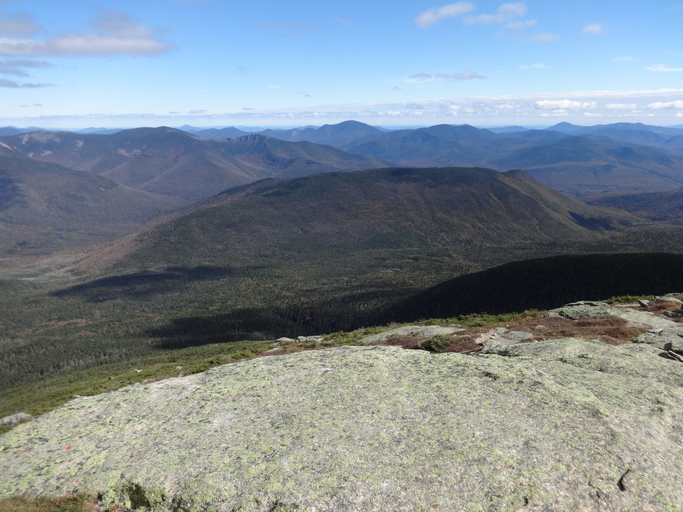
Kearsarge is above and left of the cliffs of Bondcliff. Above Bondcliff might be the trailless peaks of Mt. Nancy, Mt. Anderson, Mt. Lowell, and the exposed cliffs of Vose Spur, occluded by the left flank of Carrigain. Then the Hancocks, with Chocorua poking out from behind. Then the broad shoulder of Passaconaway, with its ridge extending right to Whiteface, which may be obscured behind Tripyramid, which has a pronounced gash on the leftmost North Tripyramid. Easier to see on the large photo.

2015:10:03 14:53:46
2015:10:03 15:13:31
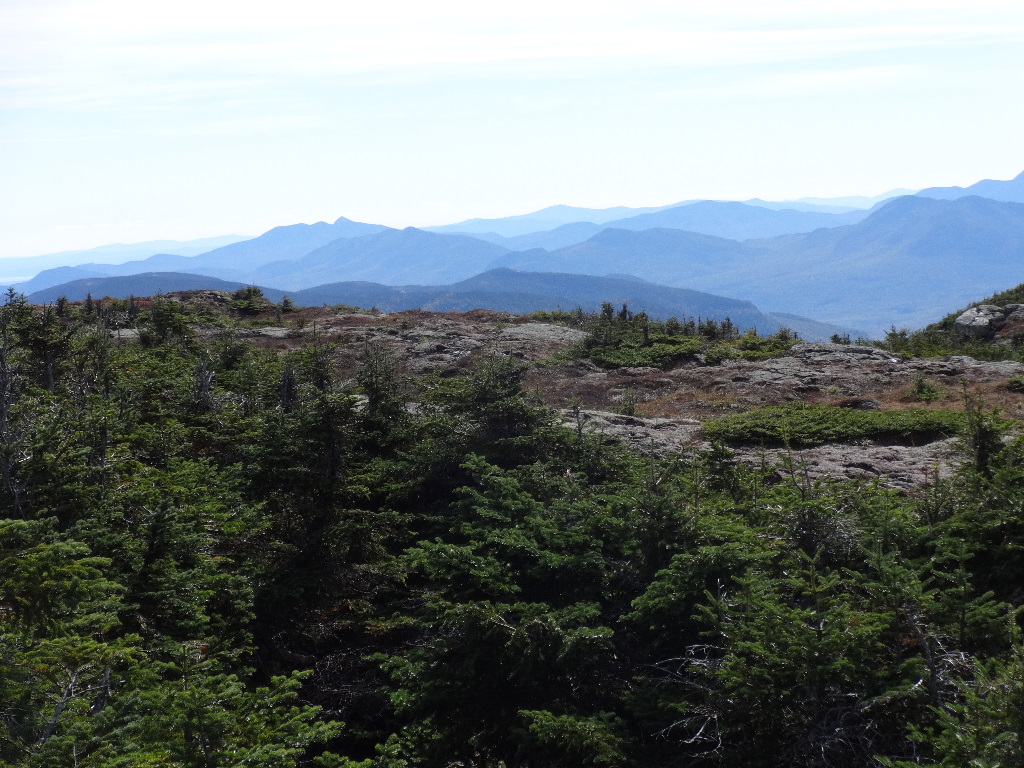
On the horizon from left to right, Passaconaway, then Tripyramid, a bit closer. Next, Osceola, with the headwall on the left side plunging down to Greeley Ponds. Farther away, to the right of it, Sandwich Dome, and interrupting its profile, and a bit closer, Tecumseh, nudging the horizon above and to the left of Flume.

2015:10:03 15:13:36
Or is this Mt. Lincoln?
2015:10:03 15:15:47
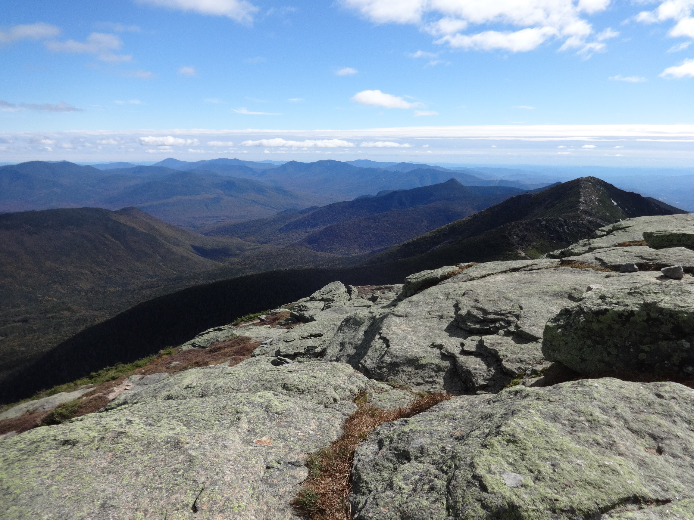
Nice view of Bondcliff, with Kearsarge in the distant center and Carrigain to the right.
2015:10:03 15:18:10
2015:10:03 15:18:24
Mt Washington in the center. Guyot to the right, North Twin to the left. South Twin below the apparent low point on the Presidentials to the left of Mt. Washington. Galehead is just beyond the cloud shadows below and between North Twin and South Twin.

2015:10:03 15:19:00
2015:10:03 15:19:07
2015:10:03 15:28:35
2015:10:03 15:28:48
2015:10:03 15:38:22
2015:10:03 15:47:27

2015:10:03 15:48:11

2015:10:03 15:48:18
2015:10:03 15:48:28

2015:10:03 15:49:30
2015:10:03 15:49:35
2015:10:03 15:52:05
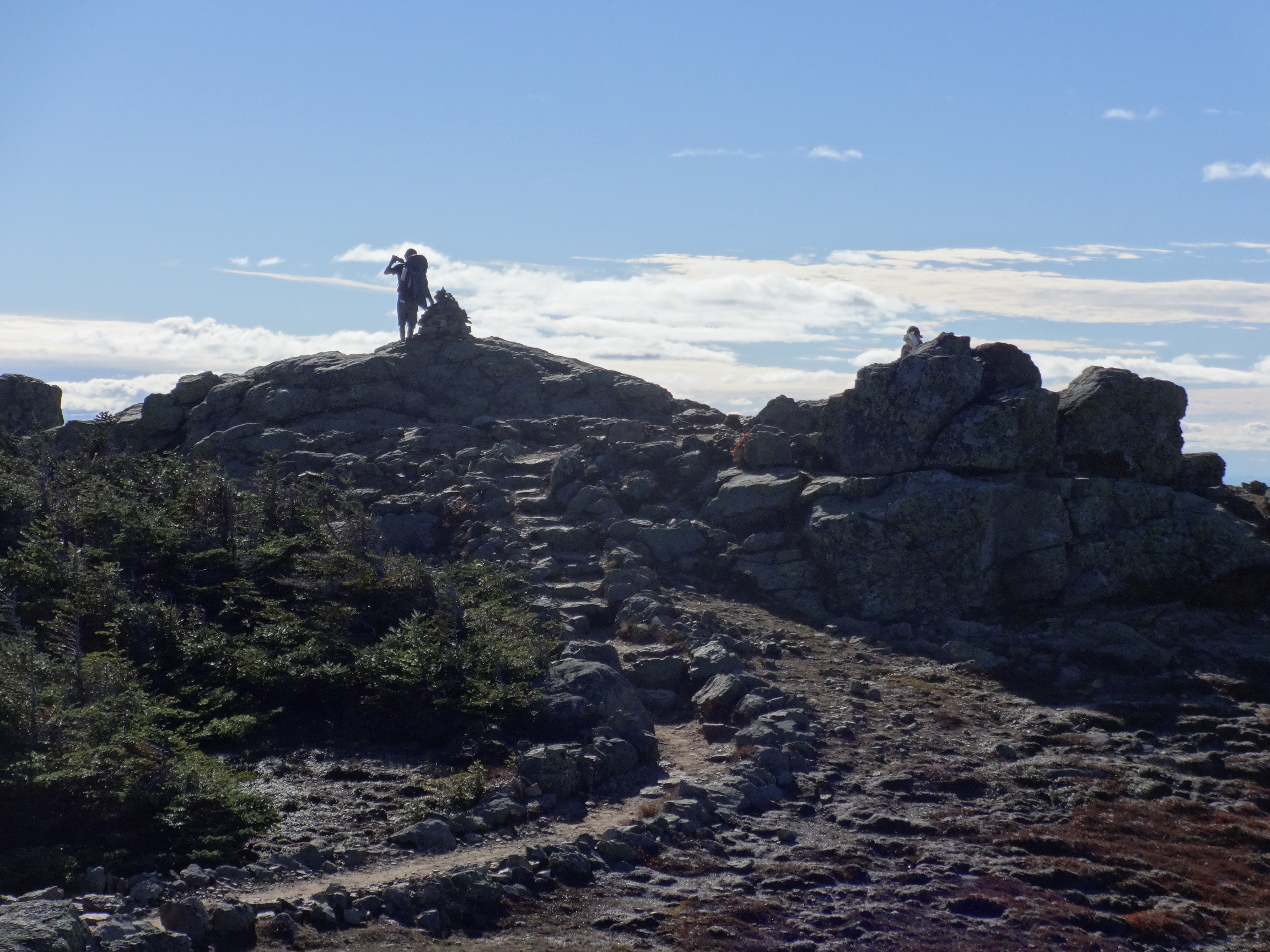
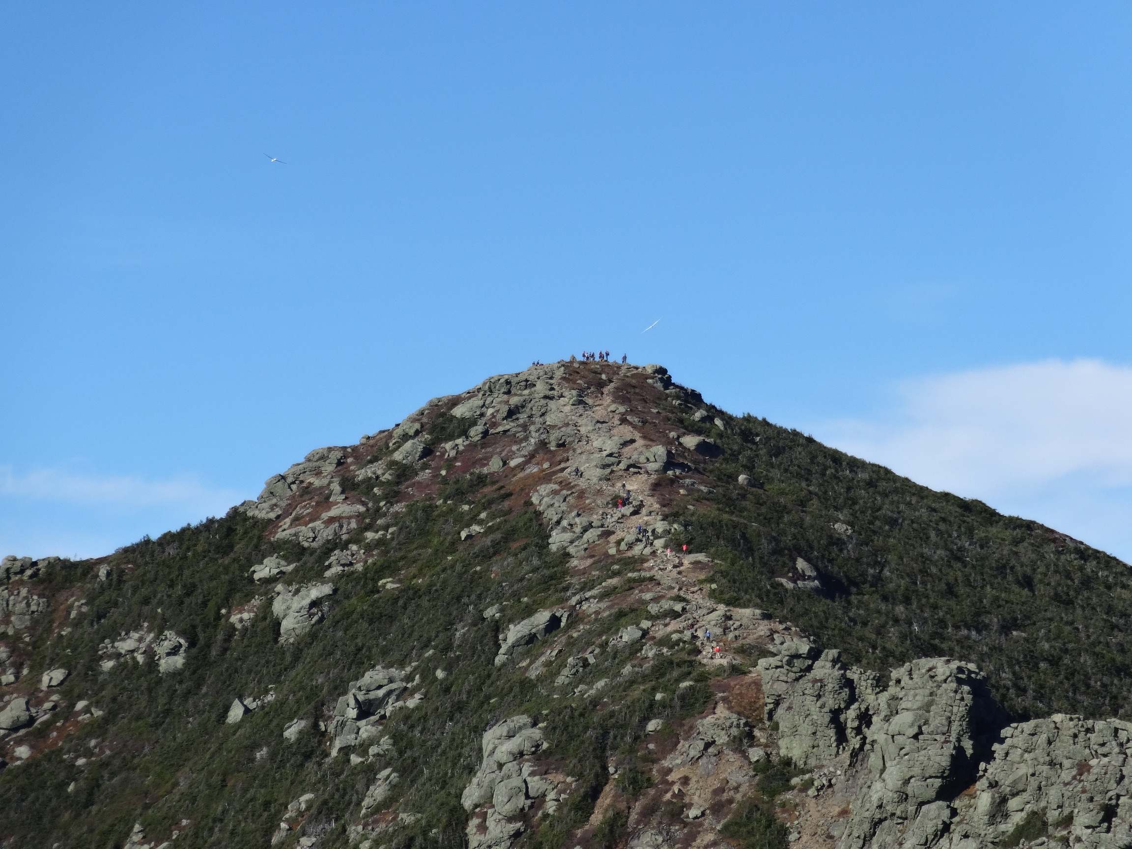
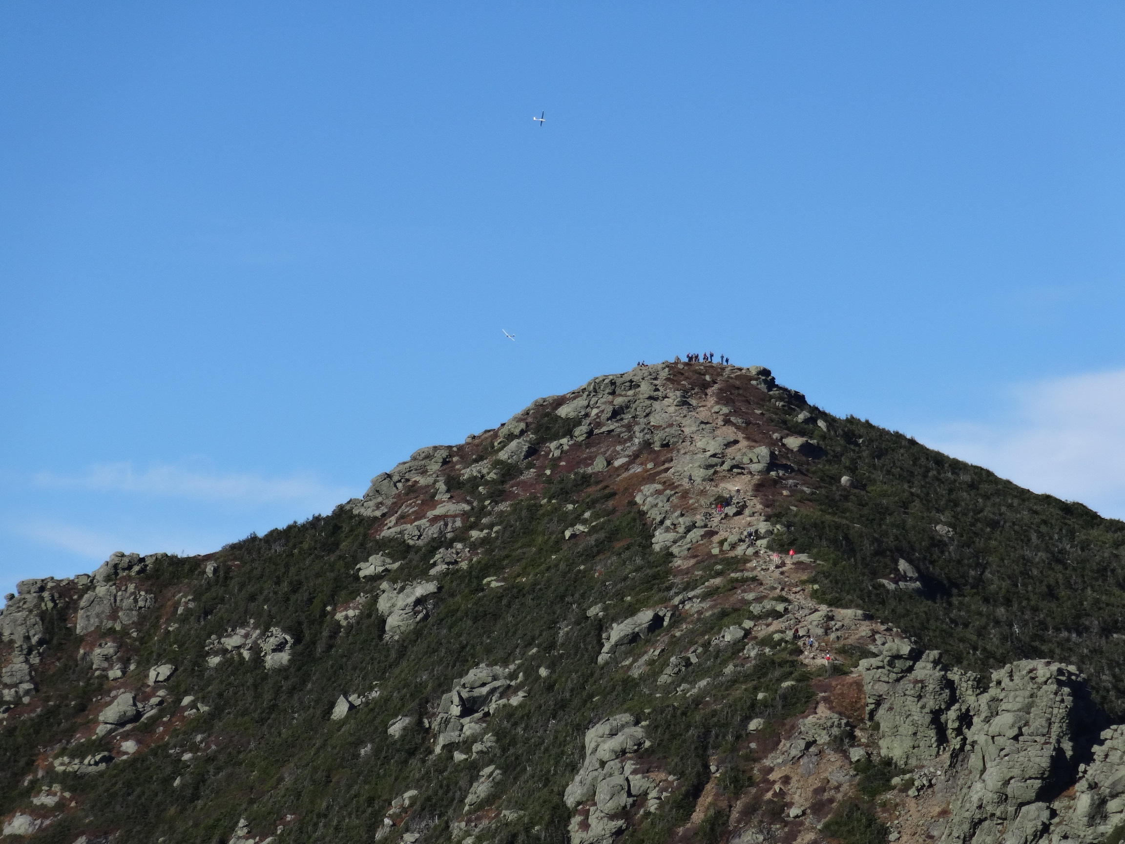
There were several gliders soaring about...

2015:10:03 15:58:54
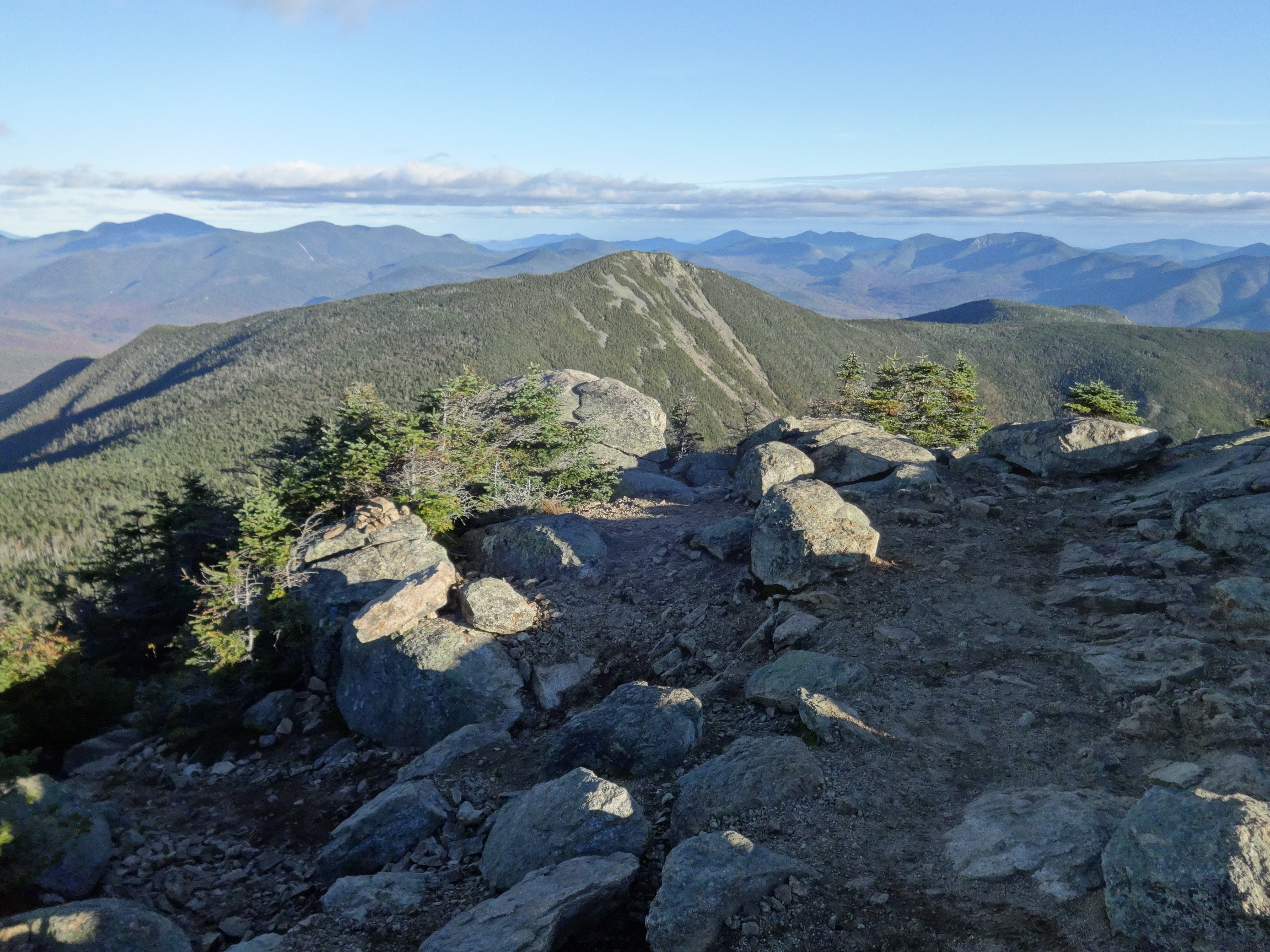
Liberty on the right, Flume on the left.

2015:10:03 15:59:02

2015:10:03 16:48:20
2015:10:03 16:48:24
2015:10:03 16:48:34

2015:10:03 17:07:23
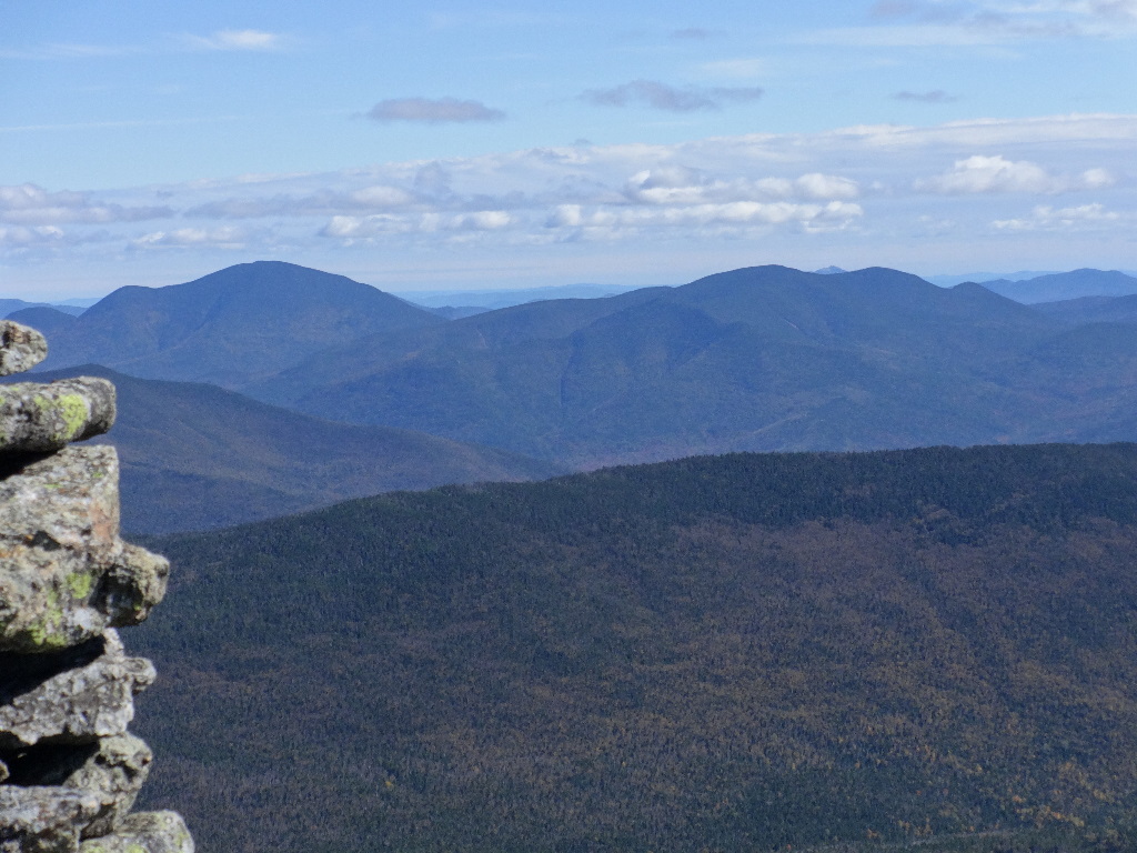
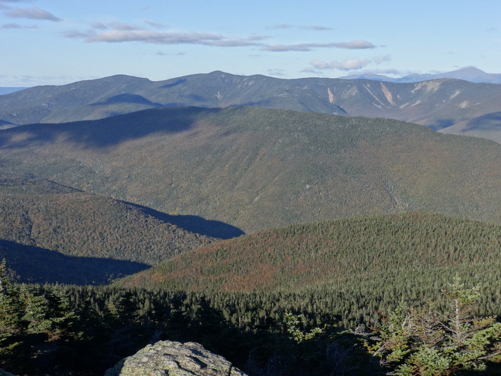
Carrigain on the left with a cloud shadow. Then the Hancocks, then Chocorua on the distant horizon. Mt. Flume in the center 'foreground'. Passaconaway's pyramidal cone, then Tripyramid, which likely obscures Whiteface. Below Tripyramid, a cloud shadow on Greeley Ponds highlights the steep ascent from them up the east side of Osceola East Peak. The broader crest of Osceola is above and just to the right of Whaleback, which is the prominence down the wooded ridge southwest of (to the right of) Flume.
2015:10:03 17:07:29
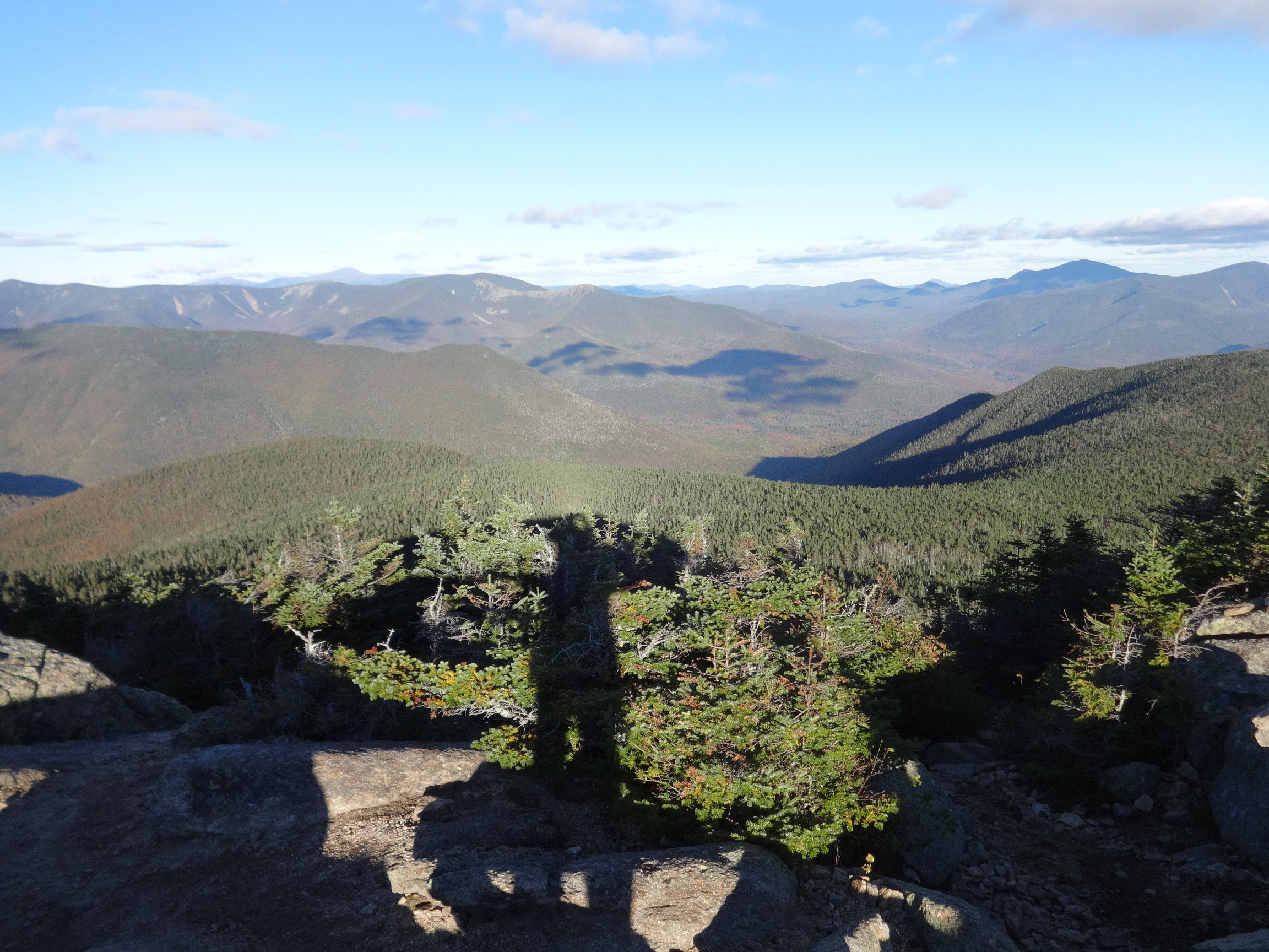
Looking southeast into the Pemi Valley. Bondcliff in the center.
2015:10:03 17:07:38
2015:10:03 17:07:47
2015:10:03 17:07:59
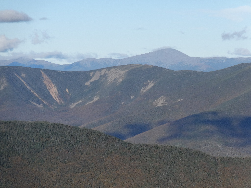
Mt. Washington beyond Guyot.
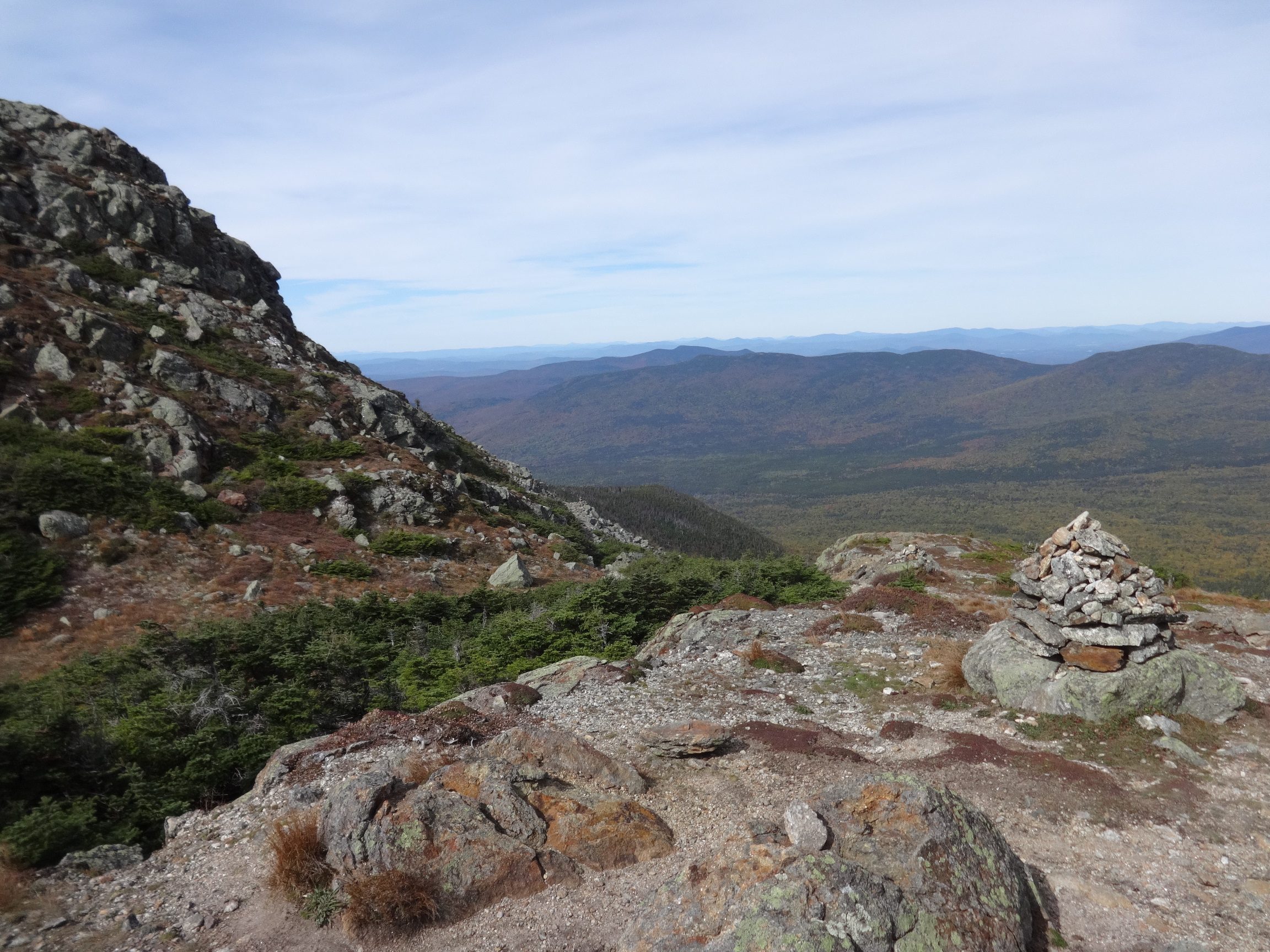
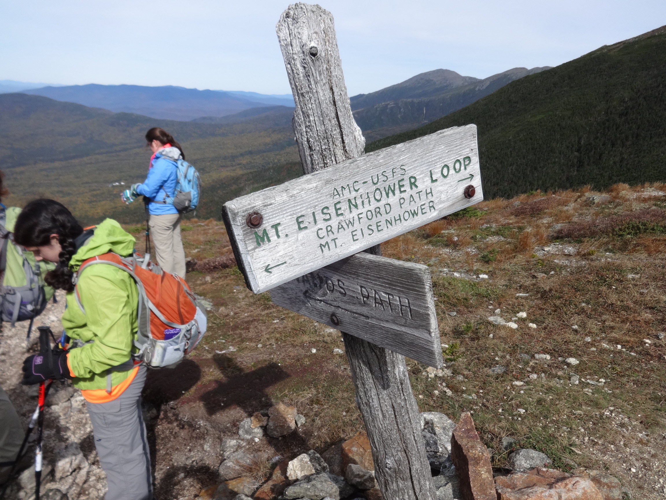
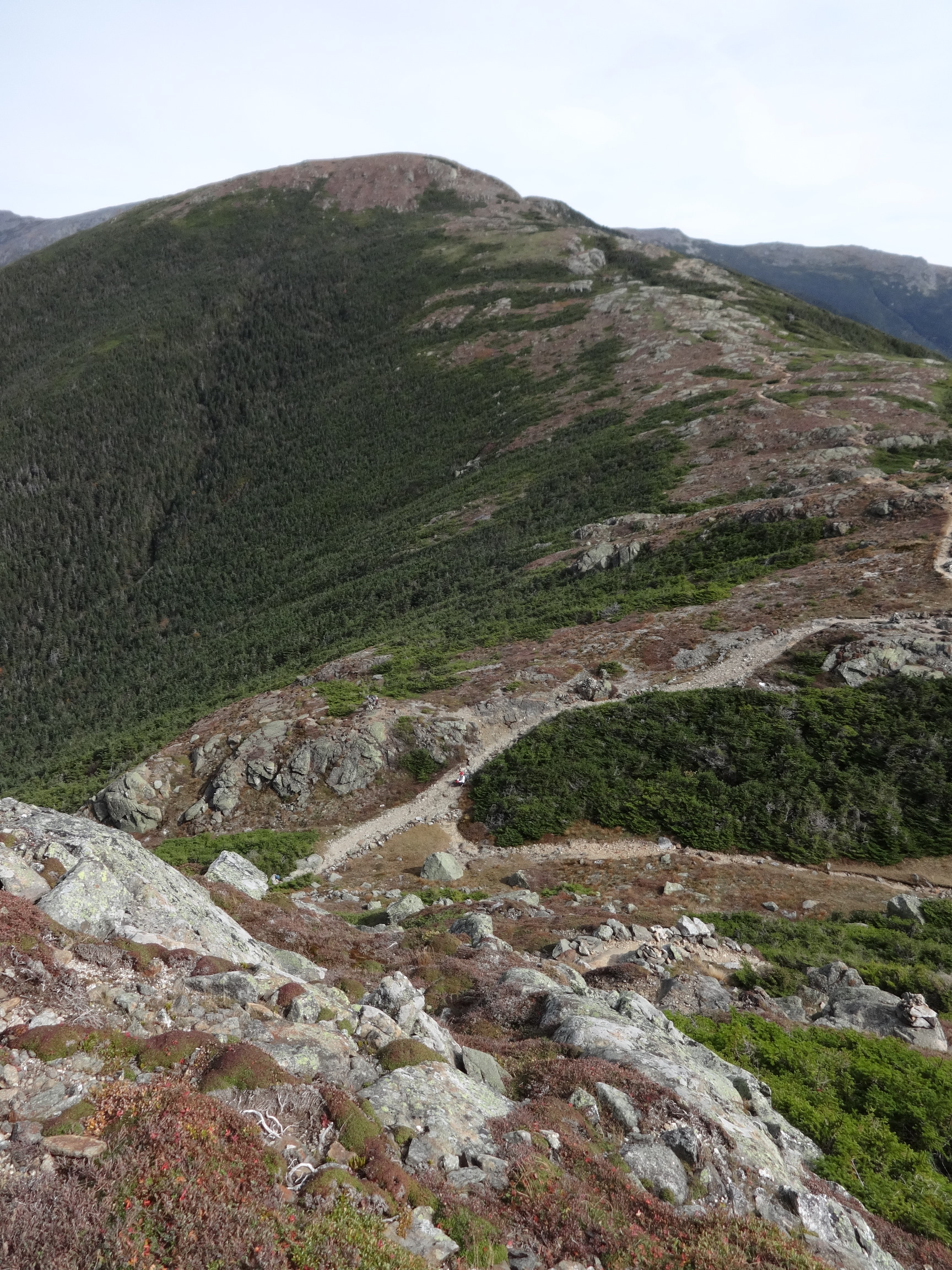
October 4 – Up Edmands Path to Mt Eisenhower. Crawford Path to Mt Pierce. Down Crawford Path.

2015:10:04 10:21:52

2015:10:04 12:10:58

2015:10:04 12:11:06
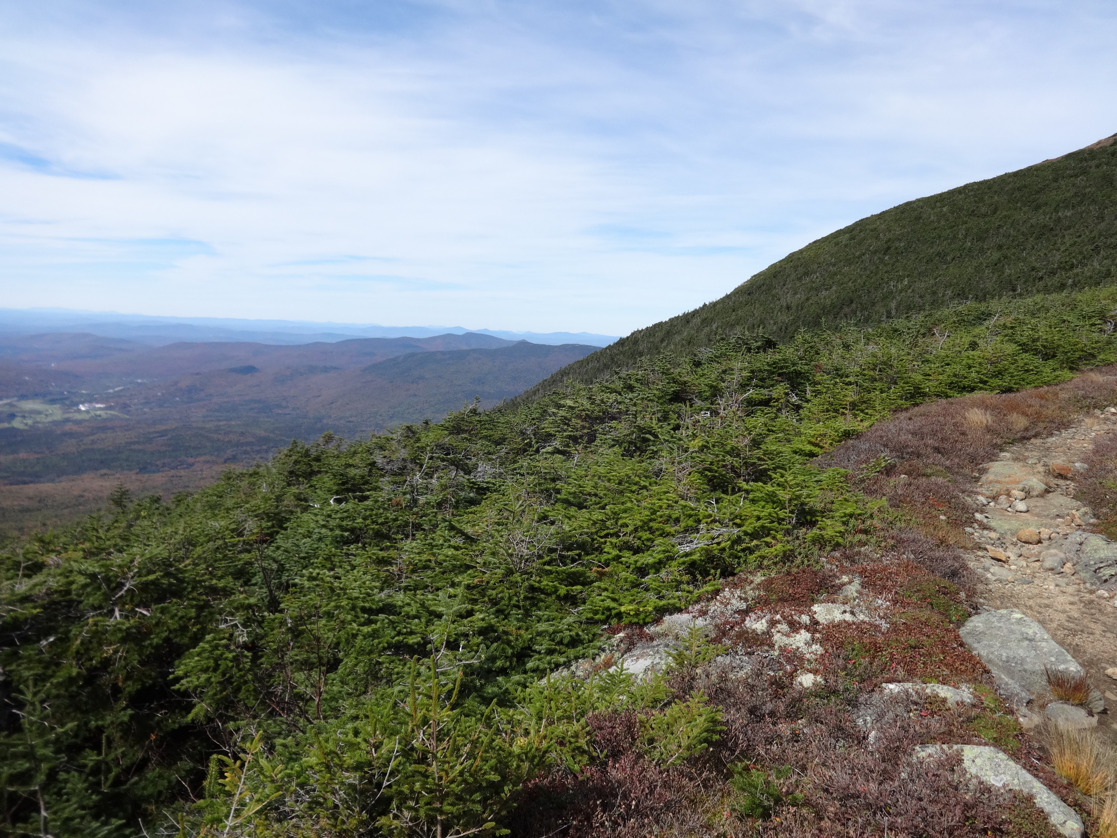
When we reached the ridge, we were hit with a stiff breeze from the east. We were glad we had brought warm togs.

2015:10:04 12:18:13
We had encountered some icy patches on the way up. It could have been tricky, had they been more extensive... Not much ice along the ridge thereafter.
2015:10:04 12:18:19

2015:10:04 12:36:28
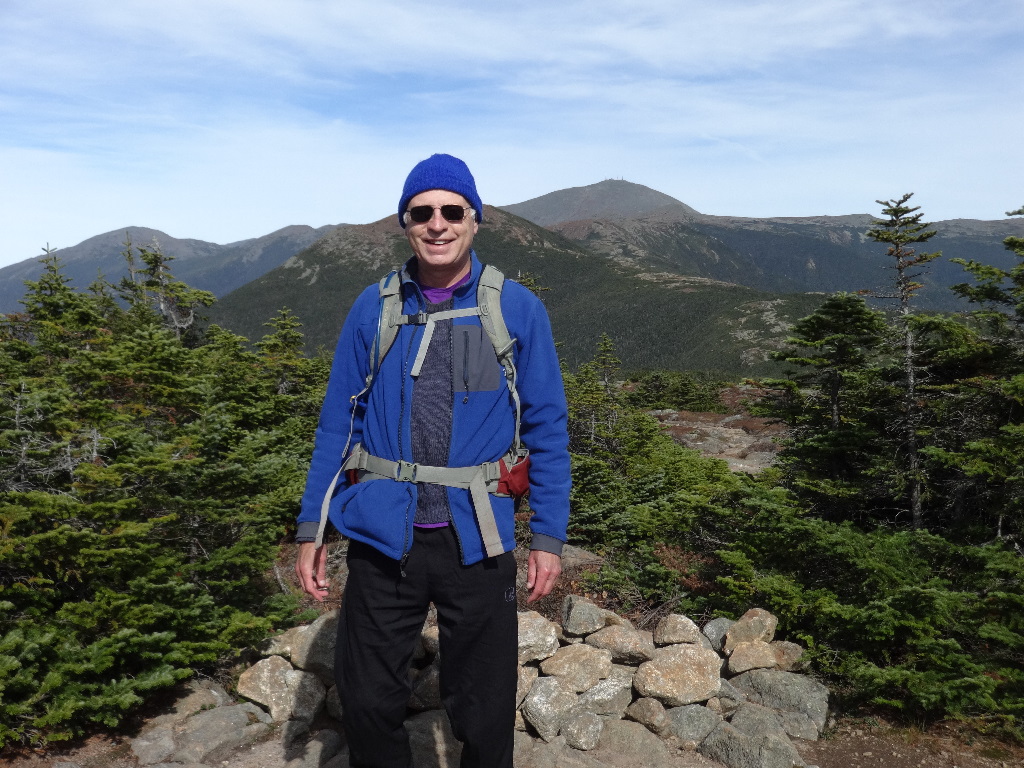
It was frigid and windy on the summit of Eisenhower. We didn't stay long.
2015:10:04 12:36:30

2015:10:04 12:36:43
2015:10:04 12:36:45

2015:10:04 12:36:52

2015:10:04 12:37:03
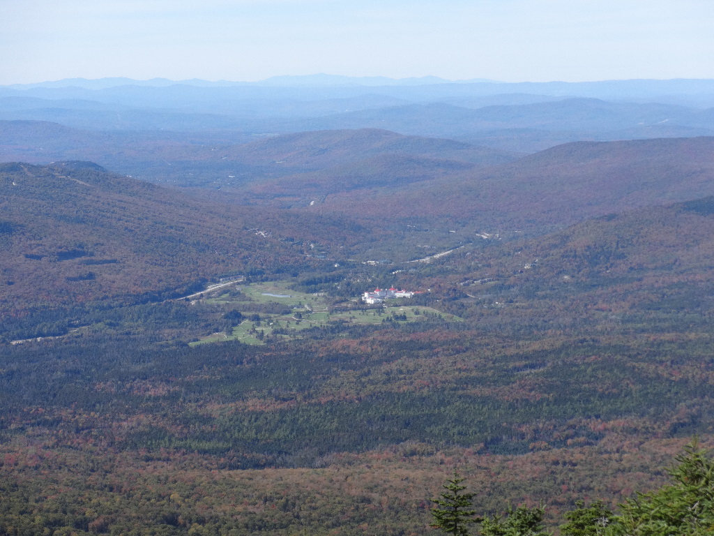
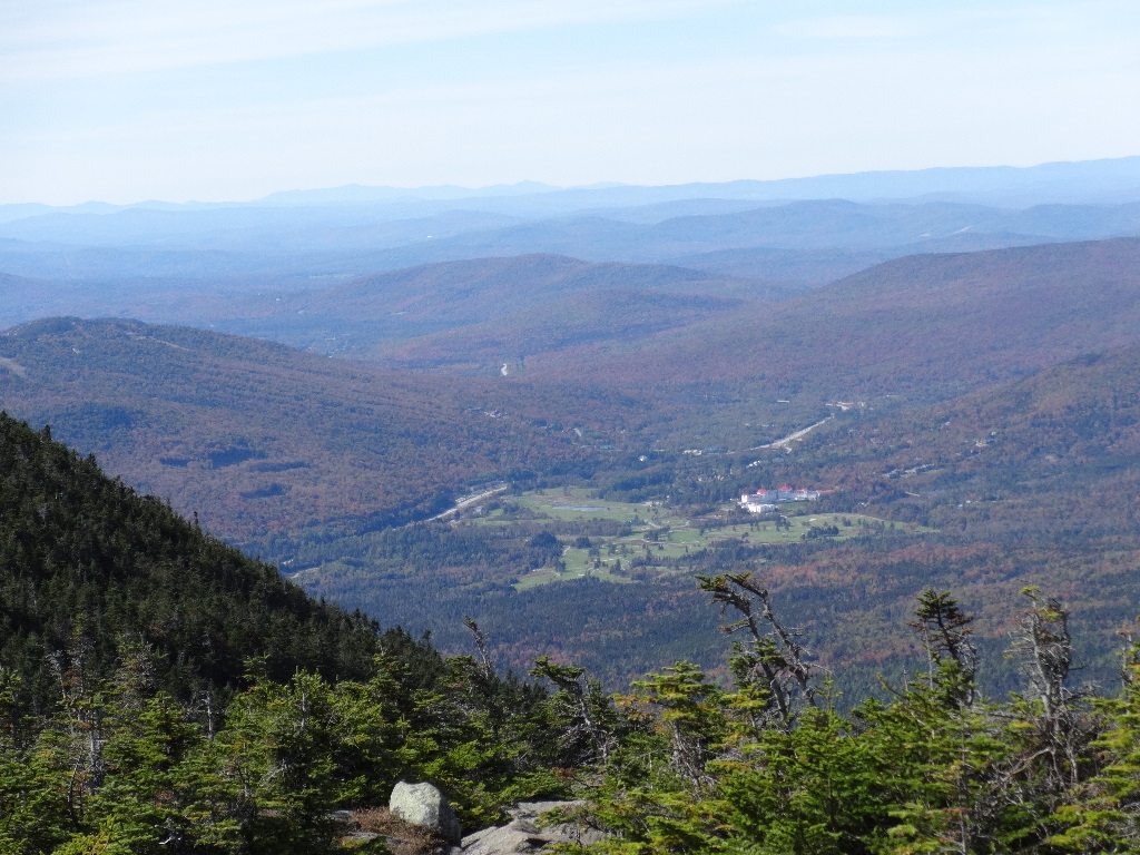
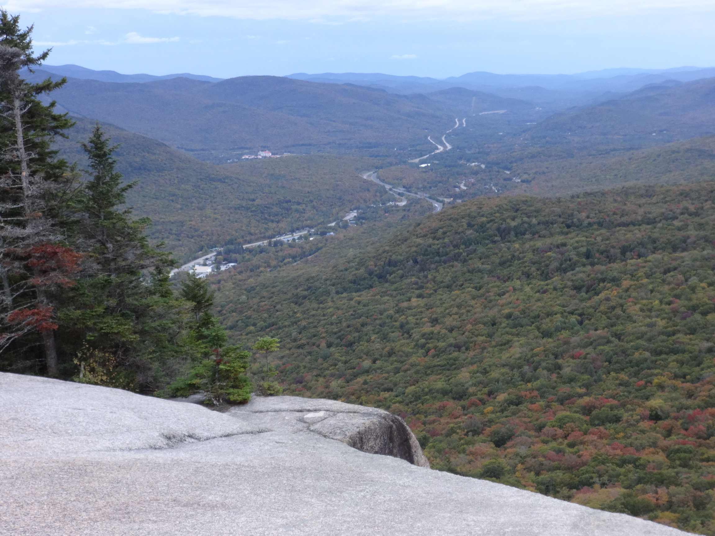
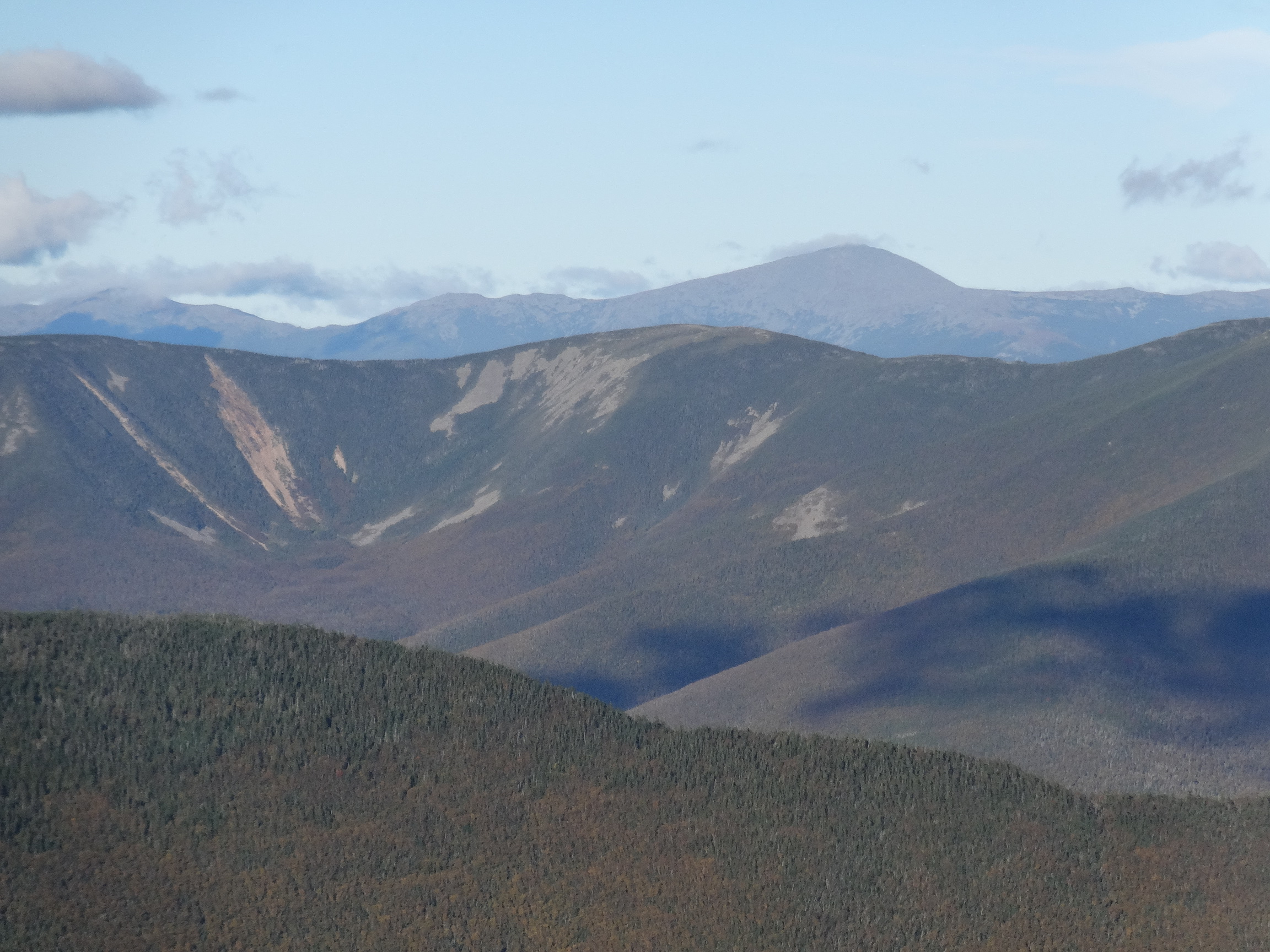
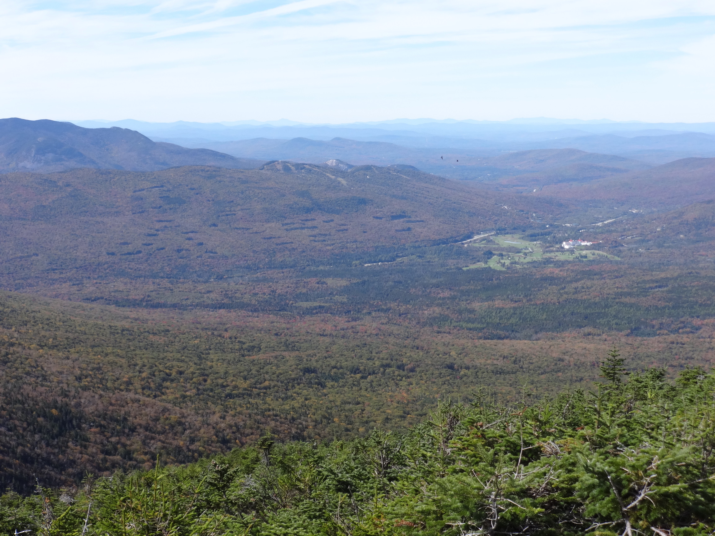
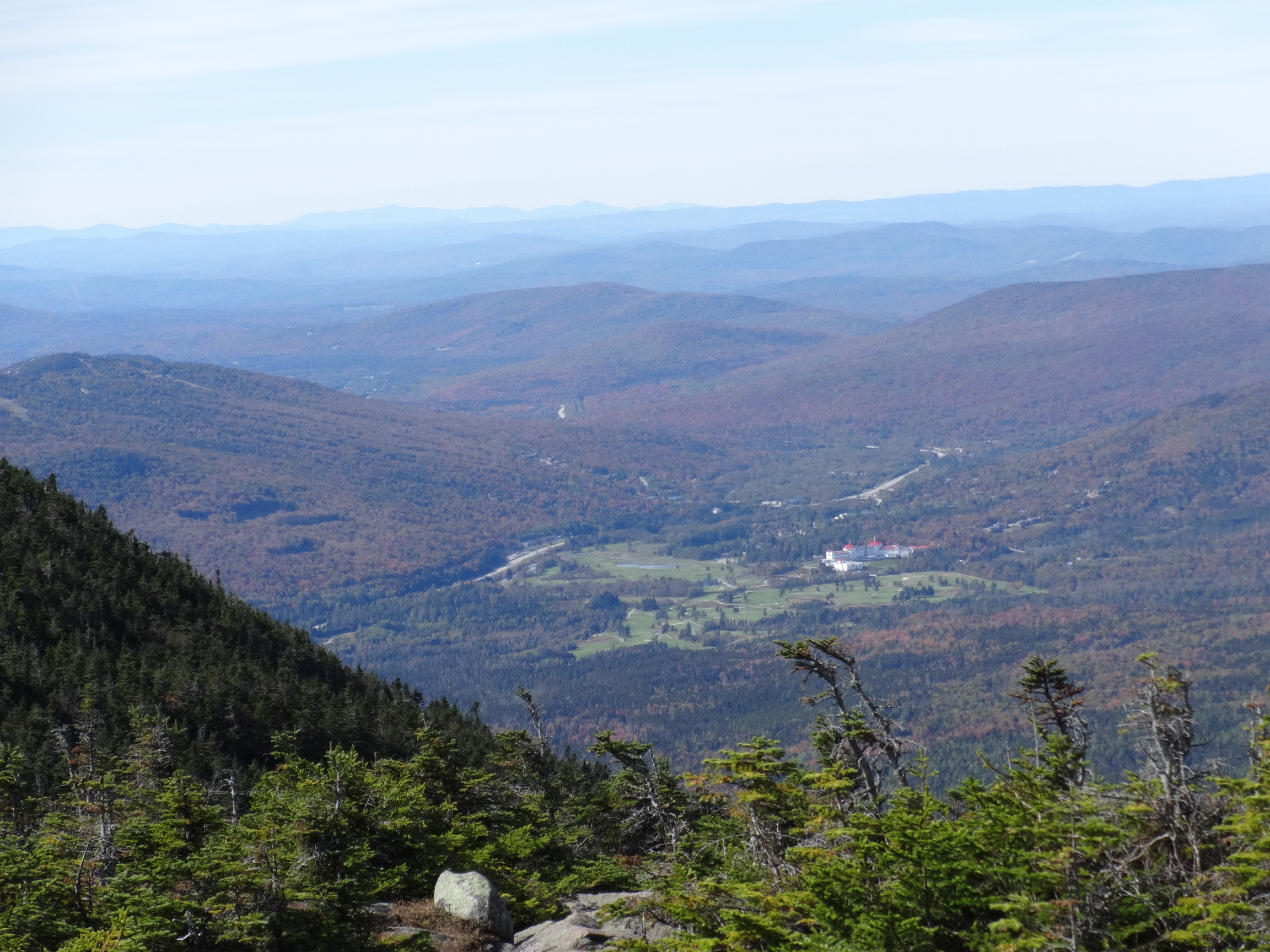
Mt. Washington Hotel on the right side, with Mansfield on the horizon just to its right. Camel's Hump directly above the cliff which can be seen to the right of visible Bretton Woods ski slopes. The dark ridge in the center extends from Mt. Tom in the middle across Mt. Field to Mt. Willey at the left edge. Mt. Lincoln is on the far ridge directly above Tom. Lafayette tops the far ridge to its right, The top of South Twin almost rises to the right flank of Lafayette, and North Twin, with a long open rockslide gash, is to the right of South Twin. Easier to see on the large photo.

2015:10:04 12:37:35
2015:10:04 12:37:42
2015:10:04 12:37:47

2015:10:04 12:37:52
2015:10:04 12:38:01

2015:10:04 12:54:29
2015:10:04 12:59:43
2015:10:04 12:59:55
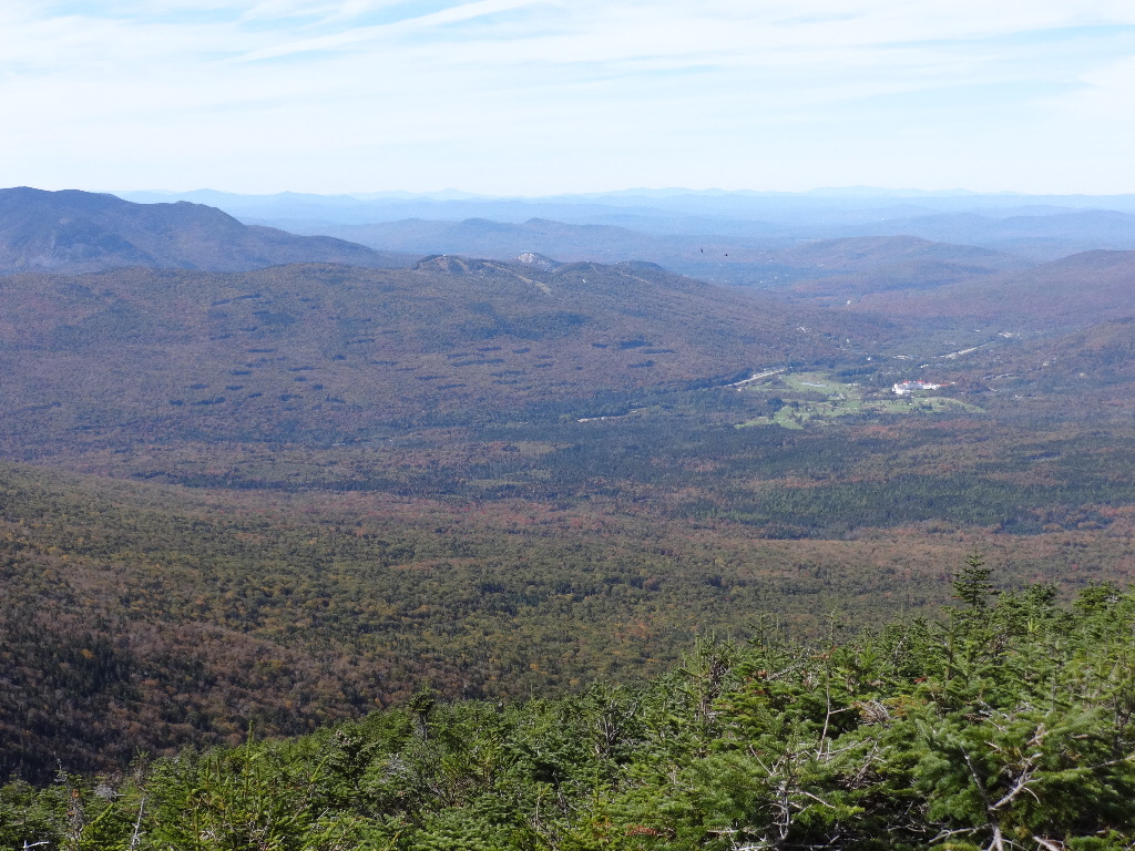
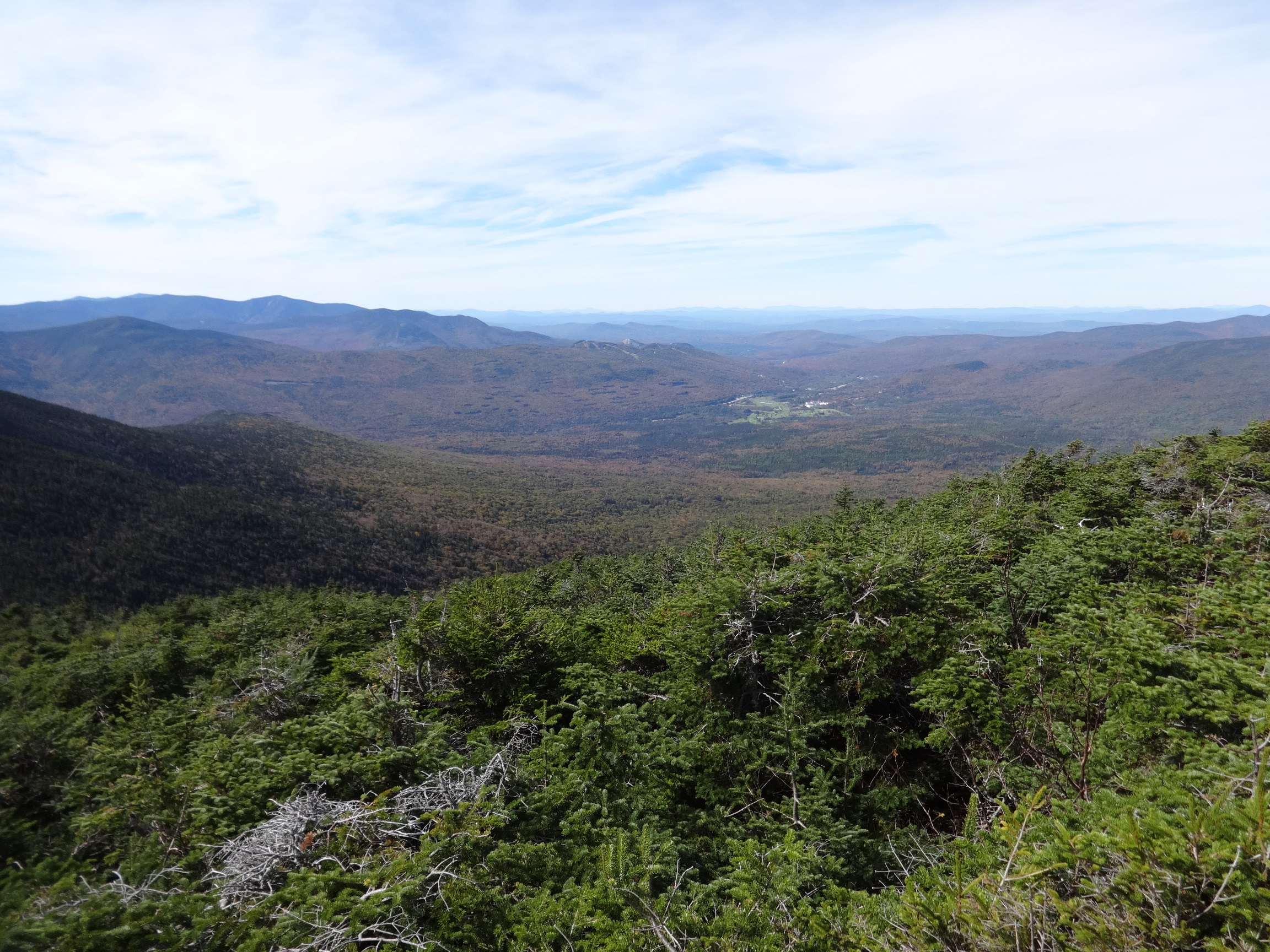
Mt. Mansfield above and just to the left of the Mt. Washington Hotel. Camel's Hump above Bretton Woods ski slopes. Easier to see on the large photo.
Even though we were farther east than the previous day, the spine of the Greens was visible, extending up into Canada.
2015:10:04 13:00:05

2015:10:04 13:00:11
2015:10:04 13:00:18
2015:10:04 13:01:35
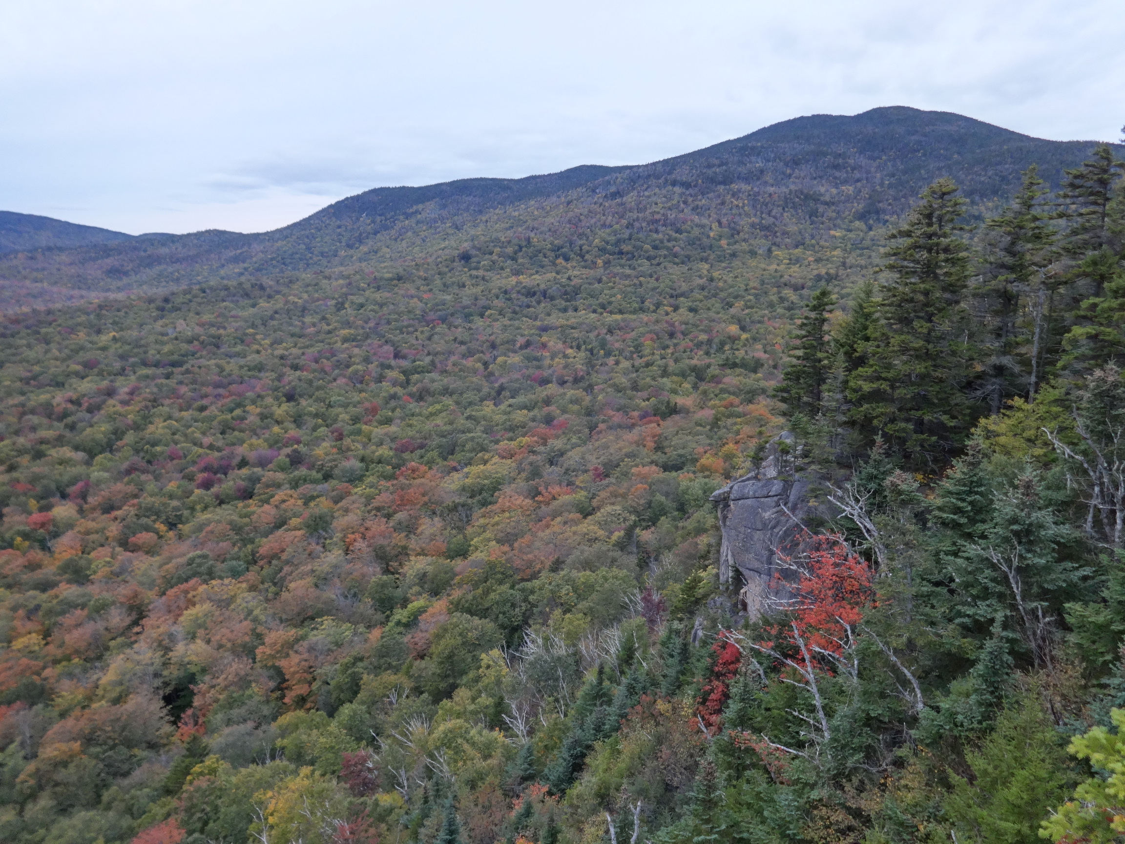
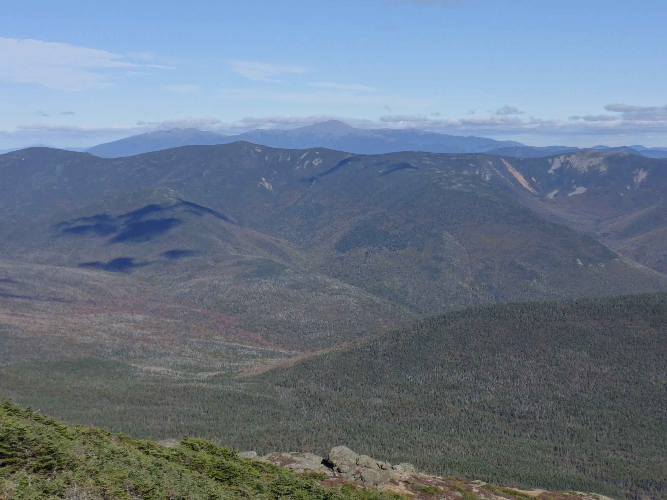
From the left, Passaconaway, then Whiteface with the notch on top, then Tripyramid, a little closer. Beyond that, Sandwich Dome. Next is Carrigain, the 'highest' one in the photo.

2015:10:04 13:01:42
This photo continues the panorama, with Carrigain now on the left side. I'm guessing Tecumseh on its flank, then Osceola, with its profile partially occluded by the higher, closer Hancock massif. I'm not sure what broad distant peak is partially obscured by Willey in the middle distance. Then we see our current destination, Mt. Pierce. Then the summit of Mt. Field meets the horizon profile of the Bonds.
2015:10:04 13:01:53
Looking almost due south, Chocorua is the pointy peak on the horizon about 1/3 in from the left.
2015:10:04 13:43:21
2015:10:04 13:43:41

2015:10:04 14:09:06
2015:10:04 14:09:21

2015:10:04 14:09:24
2015:10:04 14:09:36

2015:10:04 14:13:51

2015:10:04 14:13:56
2015:10:04 14:14:29
2015:10:04 14:14:34

2015:10:04 14:20:34

2015:10:04 15:50:02
2015:10:04 15:57:09
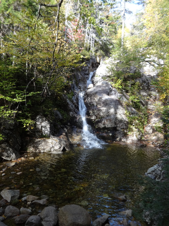
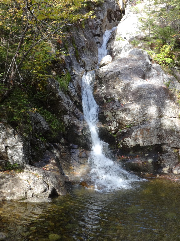
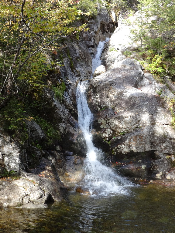
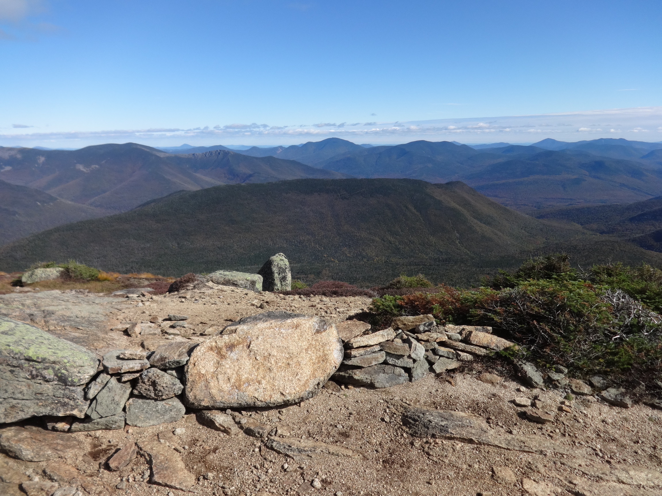
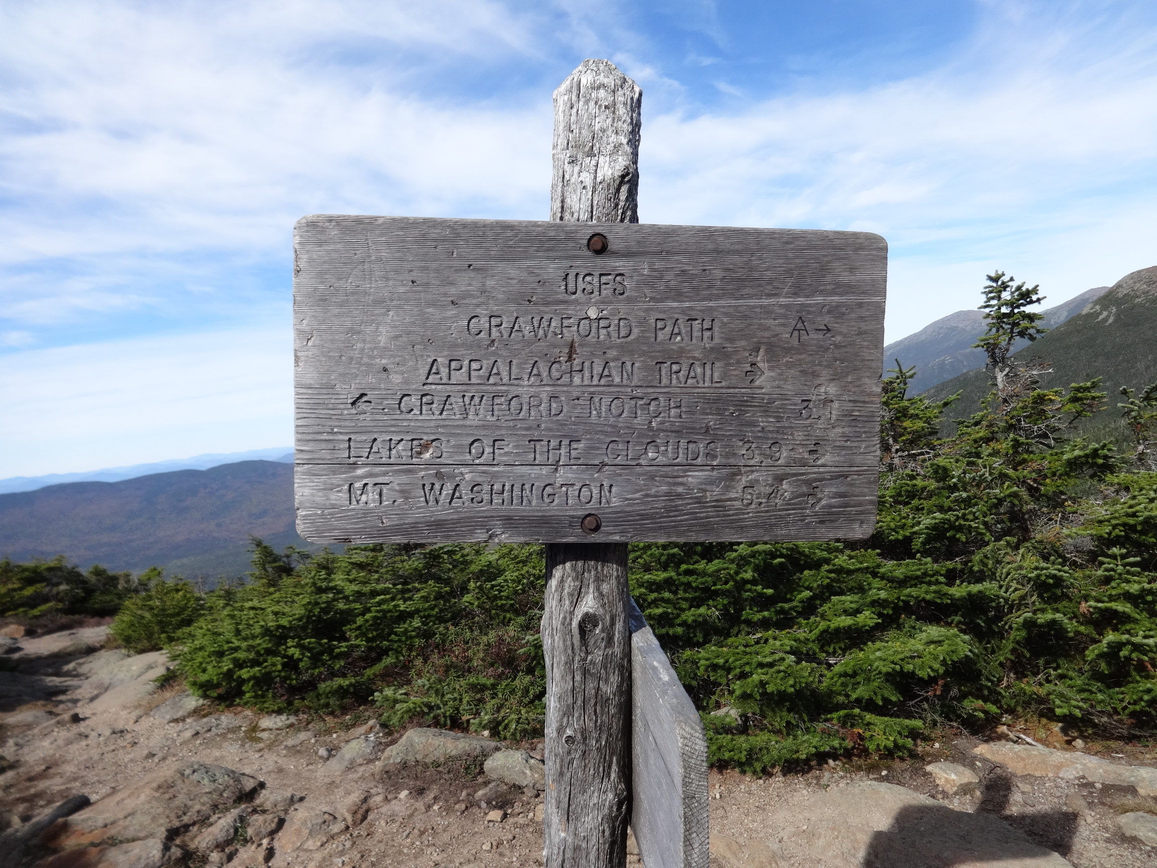
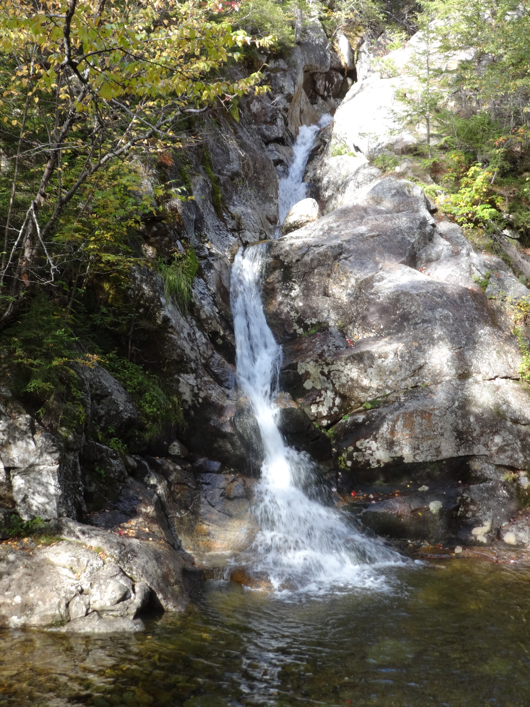
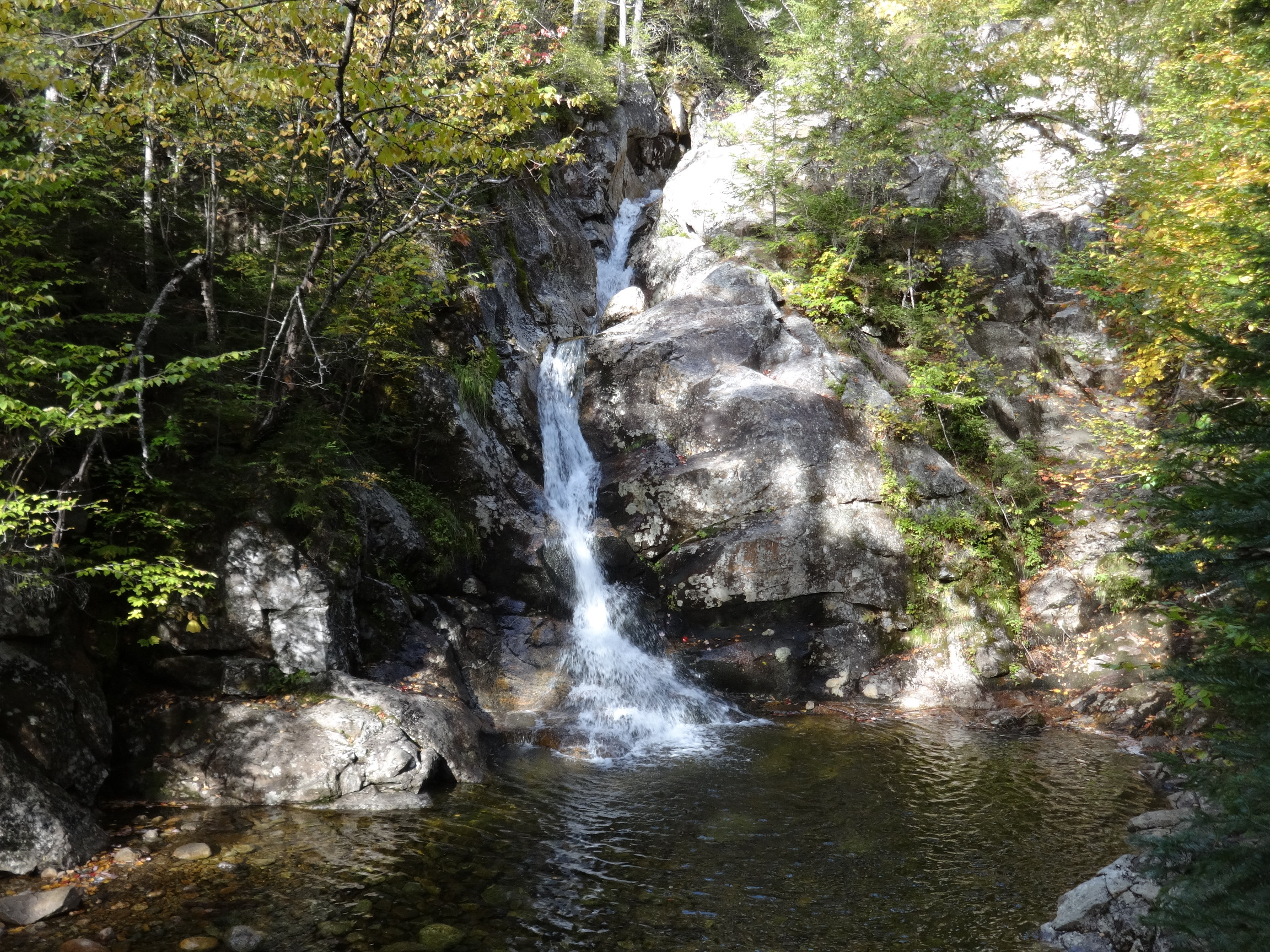
I've never gone UP Crawford Path, only down. And I was always too exhausted, or it was too dark, when I got to this point, so I never before made the short side trip to charming Gibbs Falls.
2015:10:04 15:57:25
2015:10:04 15:57:31

2015:10:04 15:57:44
2015:10:04 16:10:30
2015:10:04 16:10:49

2015:10:04 16:11:02
October 2 – Mt. Pemi. Large photos.

2015:10:02 18:09:01
2015:10:02 18:09:16

2015:10:02 18:09:30
2015:10:02 18:10:14
2015:10:02 18:10:26
2015:10:02 18:10:32
October 3 – Skookumchuck Trail to Franconia Ridge Trail to Lafayette, Lincoln, Little Haystack, and Liberty. Down Liberty Spring Trail (AT). Large photos.
2015:10:03 12:46:05
2015:10:03 12:46:15

2015:10:03 12:48:15
2015:10:03 13:19:13

2015:10:03 13:27:45
2015:10:03 13:27:53
2015:10:03 13:28:11
2015:10:03 13:43:45
2015:10:03 13:50:36

2015:10:03 13:53:56

2015:10:03 13:54:07
2015:10:03 13:57:44
2015:10:03 13:57:50

2015:10:03 13:58:15
2015:10:03 14:08:33
2015:10:03 14:16:13
2015:10:03 14:16:23
2015:10:03 14:16:30
2015:10:03 14:25:20
2015:10:03 14:25:24
2015:10:03 14:48:10

2015:10:03 14:53:26
2015:10:03 14:53:33
2015:10:03 14:53:46

2015:10:03 15:13:31
2015:10:03 15:13:36
2015:10:03 15:15:47
2015:10:03 15:18:10
2015:10:03 15:18:24

2015:10:03 15:19:00
2015:10:03 15:19:07

2015:10:03 15:28:35

2015:10:03 15:28:48

2015:10:03 15:38:22
2015:10:03 15:47:27
2015:10:03 15:48:11
2015:10:03 15:48:18
2015:10:03 15:48:28
2015:10:03 15:49:30

2015:10:03 15:49:35

2015:10:03 15:52:05
2015:10:03 15:58:54
2015:10:03 15:59:02
2015:10:03 16:48:20

2015:10:03 16:48:24

2015:10:03 16:48:34
2015:10:03 17:07:23
2015:10:03 17:07:29

2015:10:03 17:07:38

2015:10:03 17:07:47
2015:10:03 17:07:59
October 4 – Up Edmands Path to Mt Eisenhower. Crawford Path to Mt Pierce. Down Crawford Path. Large photos.
2015:10:04 10:21:52
2015:10:04 12:10:58
2015:10:04 12:11:06
2015:10:04 12:18:13

2015:10:04 12:18:19
2015:10:04 12:36:28
2015:10:04 12:36:30
2015:10:04 12:36:43

2015:10:04 12:36:45
2015:10:04 12:36:52
2015:10:04 12:37:03
2015:10:04 12:37:35

2015:10:04 12:37:42
2015:10:04 12:37:47
2015:10:04 12:37:52

2015:10:04 12:38:01
2015:10:04 12:54:29

2015:10:04 12:59:43
2015:10:04 12:59:55
2015:10:04 13:00:05
2015:10:04 13:00:11

2015:10:04 13:00:18

2015:10:04 13:01:35
2015:10:04 13:01:42

2015:10:04 13:01:53
2015:10:04 13:43:21

2015:10:04 13:43:41
2015:10:04 14:09:06
2015:10:04 14:09:21
2015:10:04 14:09:24

2015:10:04 14:09:36
2015:10:04 14:13:51
2015:10:04 14:13:56
2015:10:04 14:14:29

2015:10:04 14:14:34
2015:10:04 14:20:34
2015:10:04 15:50:02

2015:10:04 15:57:09

2015:10:04 15:57:25
2015:10:04 15:57:31
2015:10:04 15:57:44

2015:10:04 16:10:30

2015:10:04 16:10:49
2015:10:04 16:11:02